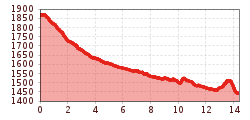
Lechweg Stage 1 | Formarinsee - Lech
The »Wanderbus« takes you from the Post Office station in
Lech to the bus stop »Formarinsee«, the last station. The Lechweg
starts here at 1,793 metres above sea level.
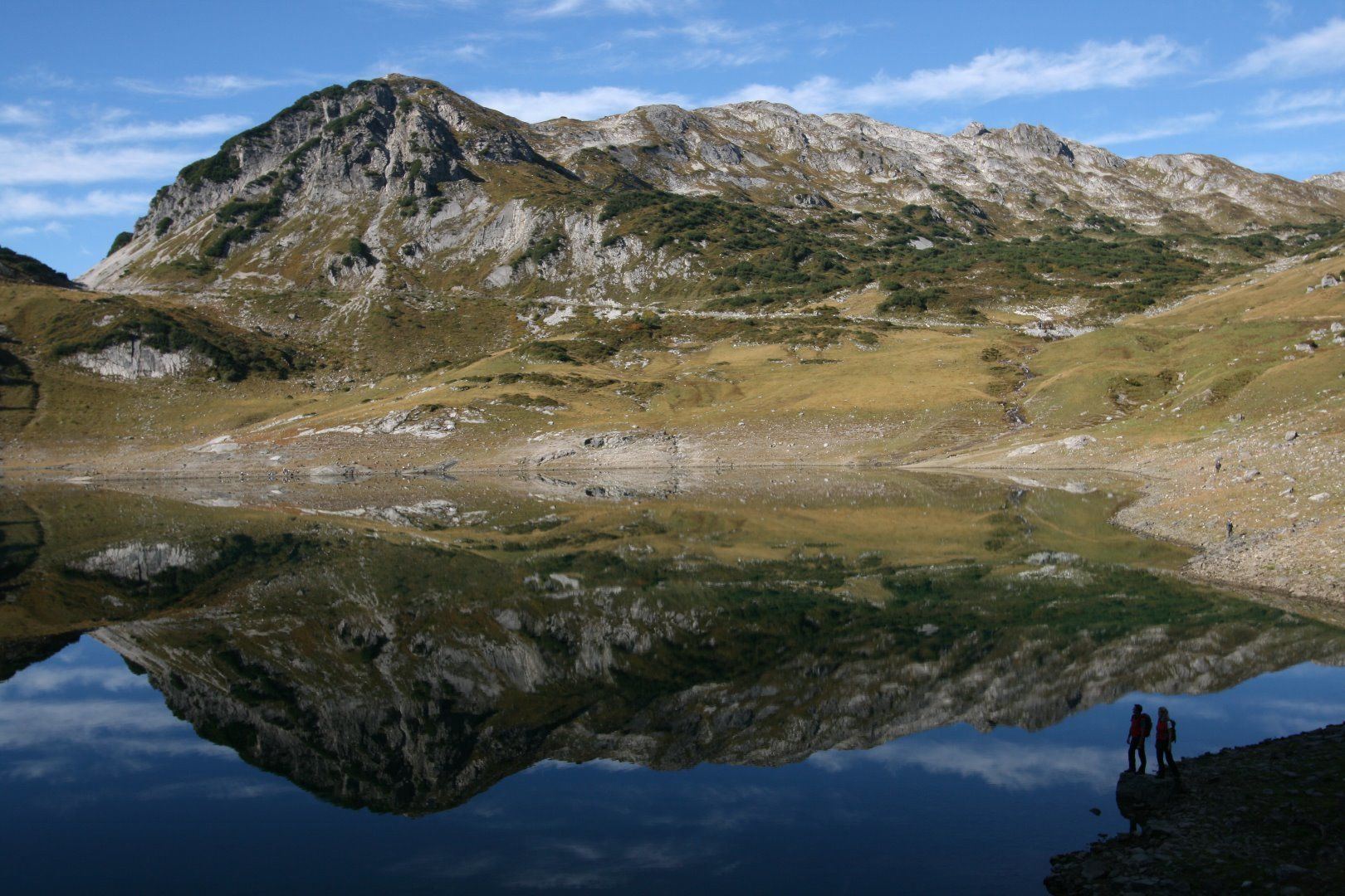
A first short detour on the »Gueterweg« to the Formarinsee is
well worth it: a beautiful panorama opens up with a view over
the lake. After a u-turn you head back to the bus stop. Take
the short way along the street to the Alpe Formarin. There a
meadow path forks to the right and leads you past the Steinbock
(Ibex) Monument, which reminds us of the resettlement
of these animals into the wild in 1958. One of the largest ibex
colonies in Europe lives here.
In the spring after the snowmelts you can, in the Lech source
area, see a few springs emerge right next to the trail. After
about an hour's march across mountain pastures and past
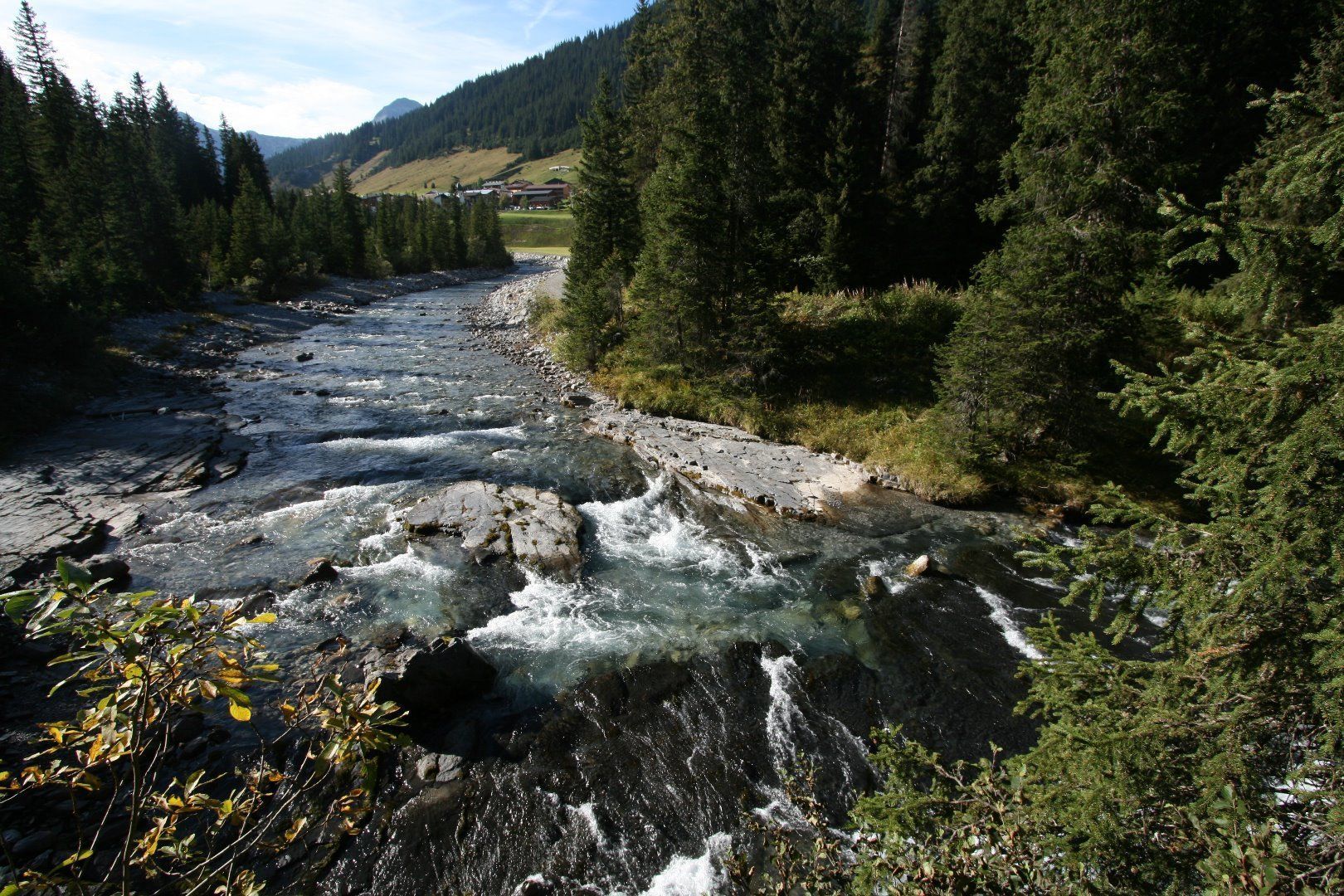
weathered limestone boulders, the Formarinbach (stream)
escorts you. Pretty soon it joins the waters of the Spullerbach
to form into the young Lech River. Farther down valley the
Lechweg passes the Aelpele, until you reach the locality of
Zug. At the fishpond, fresh fish are caught and grilled. Now
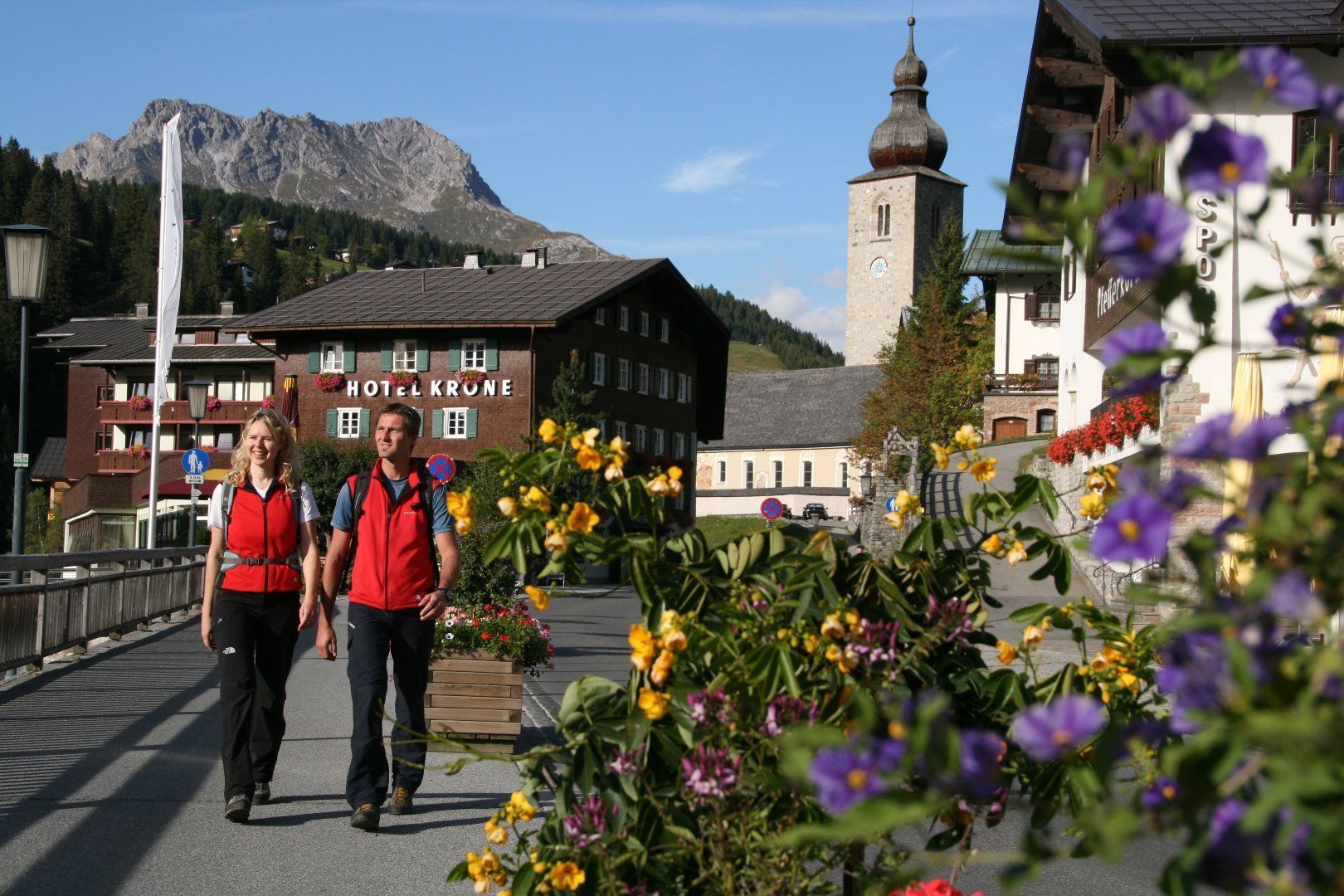
follow the Lech riverbank path to Lech am Arlberg crossing
the Tannberg parcel.


.jpg")


.jpg")


