Lechweg Stage 2 | Lech - Lechleiten
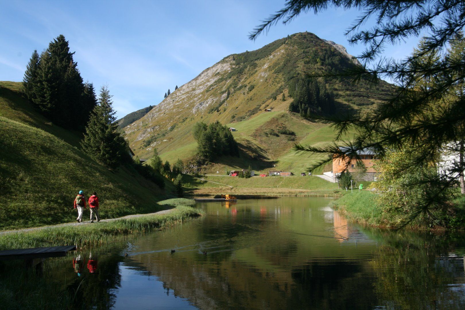
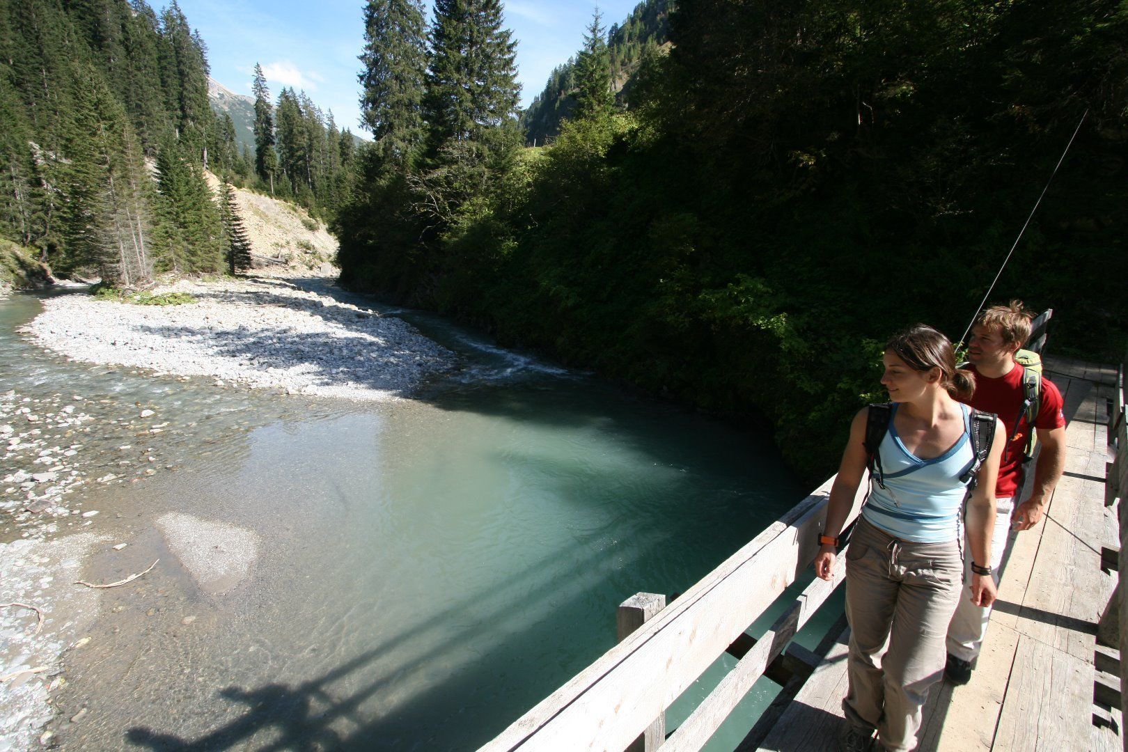
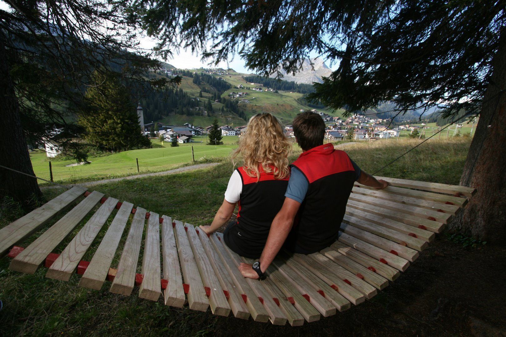
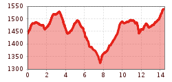
From the eastern locality Stubenbach, the Lech River snakes through a fascinating ravine formation which is not always visible from the trail. Through Stubenbach the trail lies above the Lech chasm to the Grenztobel – the border between the communities Lech and Warth. You cross several small mountain streams. The sharp left fork leads to a rest and dining possibility, the Bodenalpe. Otherwise the forested path always heads above the Lech River to a wooden bridge, which is secured with steel cables. The trail goes uphill through the wood Hoehenwald to the Walser village of Warth. Right at the town entrance, a natural swimming pond and the highest situated cheese factory and butcher of Vorarlberg, the »Waelder Metzge«, invite you to have a break. The Walserhus and St. Sebastian Church bear witness to the Walser craftmens’ skills. More fun: wildwater swimming in the Lech River with experienced guides from the Alpinschule Widderstein (telephone +43 660 2 149207 Email office@alpinschulewidderstein.com www.alpinschulewidderstein. com ). A small swing bridge over the Krumbach stream leads to Gehren and now you are on Tyrolean soil. Right near the trail in the section of Steeg named Lechleiten, there is a natural climbing crag »Schrofenwies« with over 31 tours for beginners to advanced climbers.


.jpg")


.jpg")


