

Opening hours:Open today
Place:Itter
:café
Discover a leisurely walking trail with magnificent views.
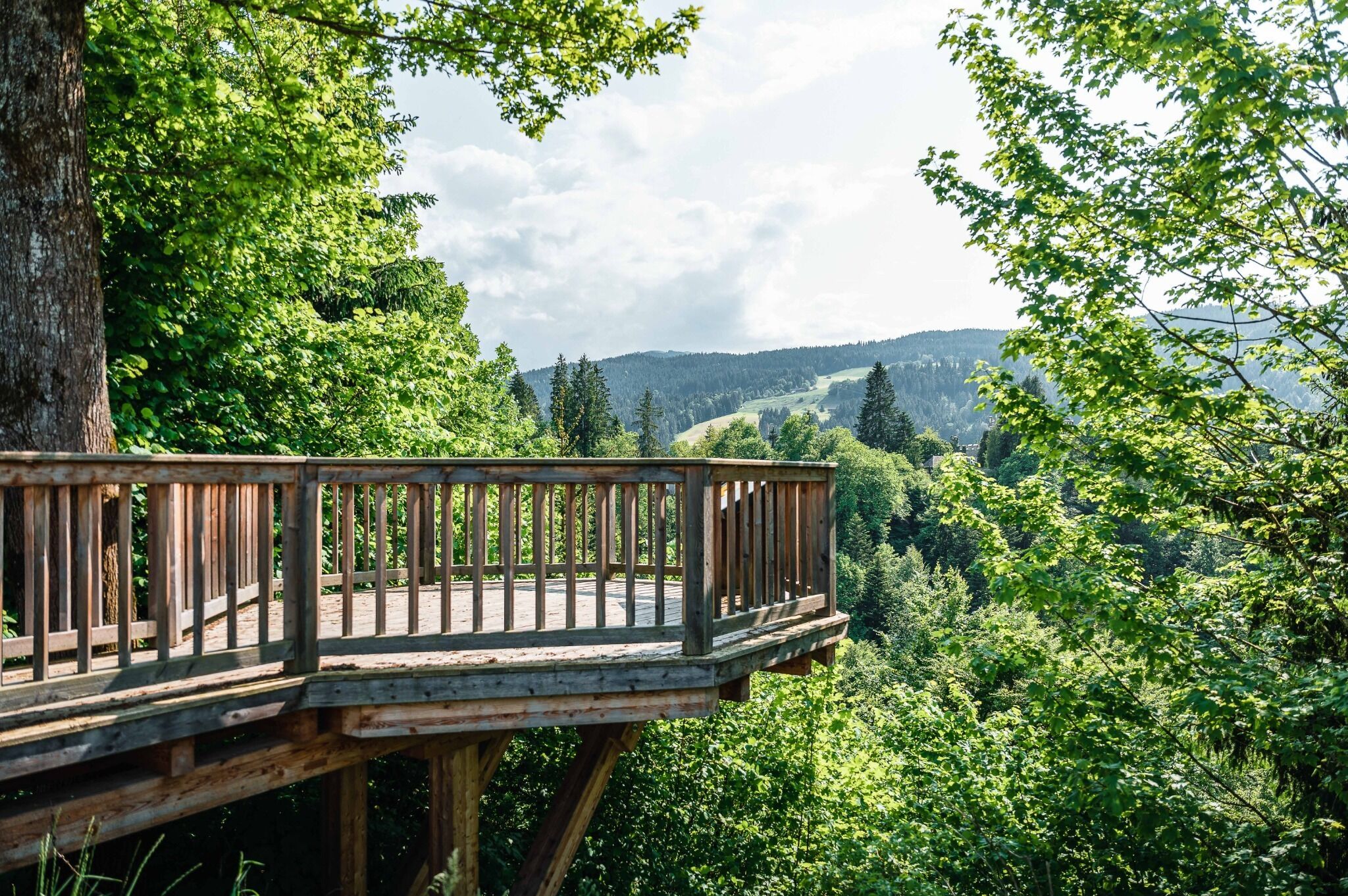
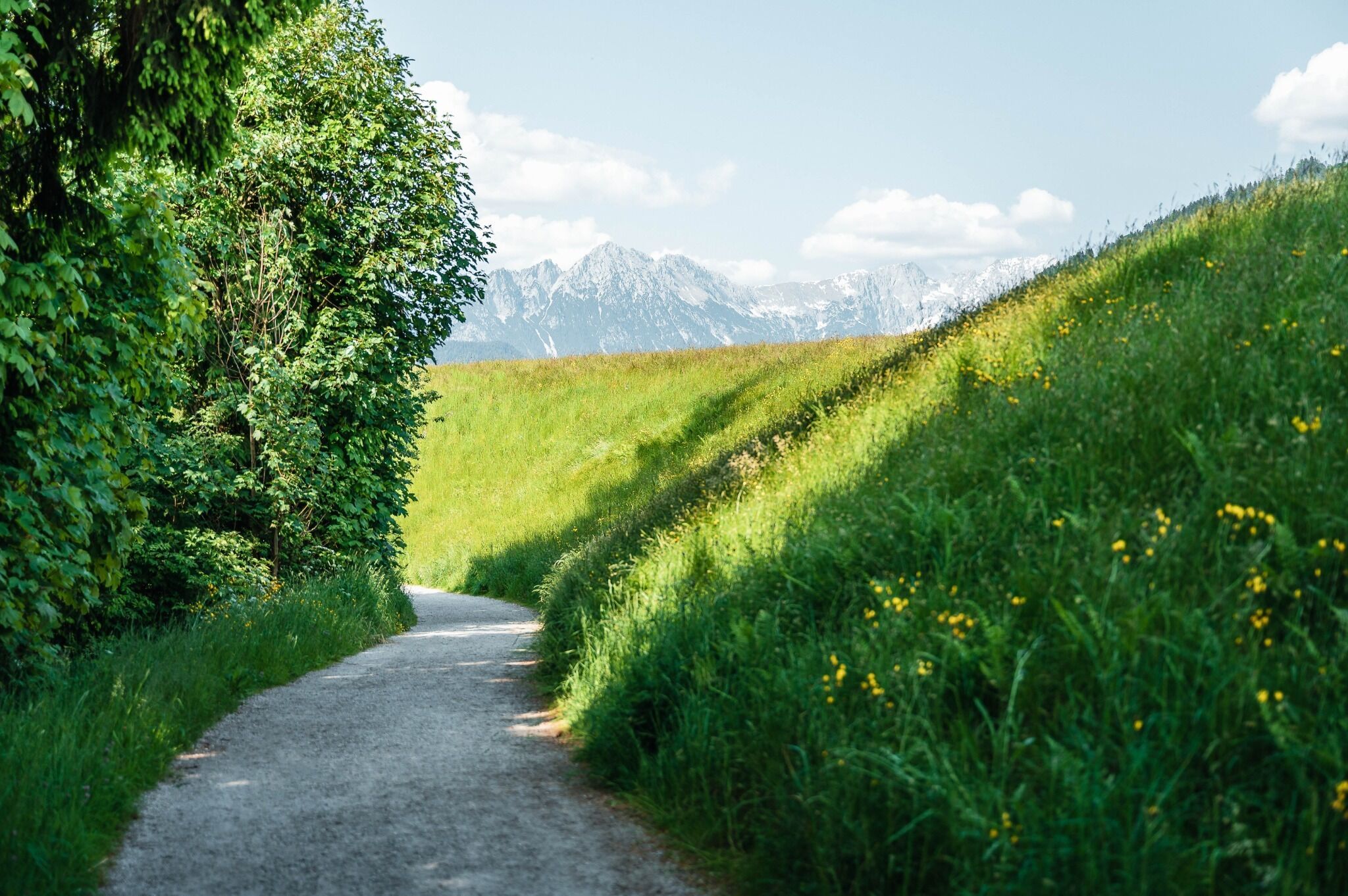
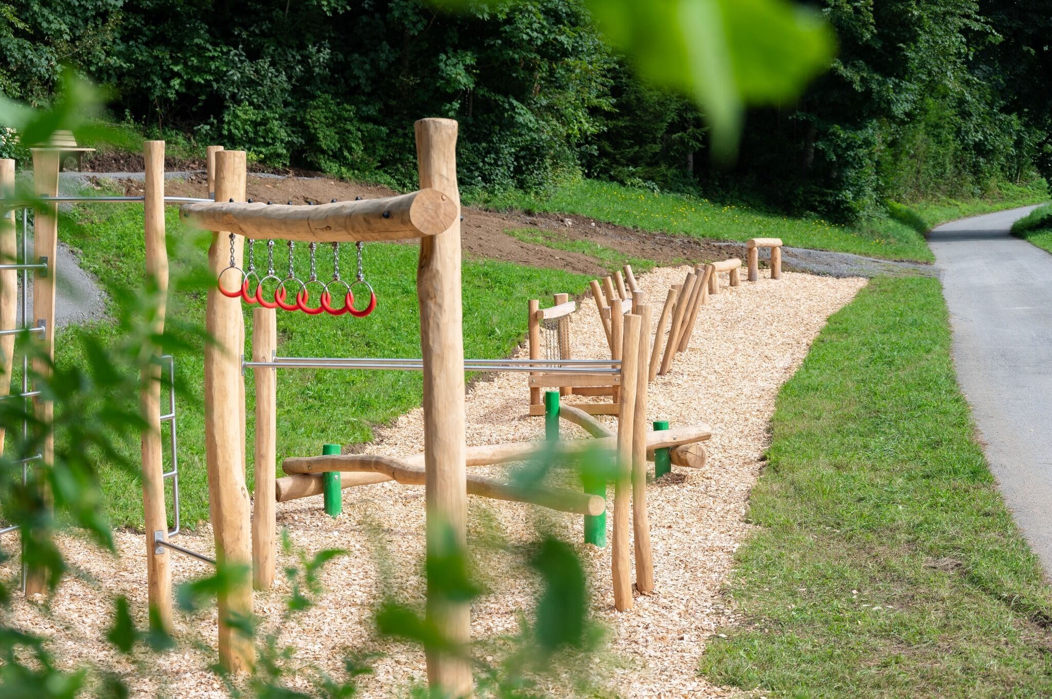
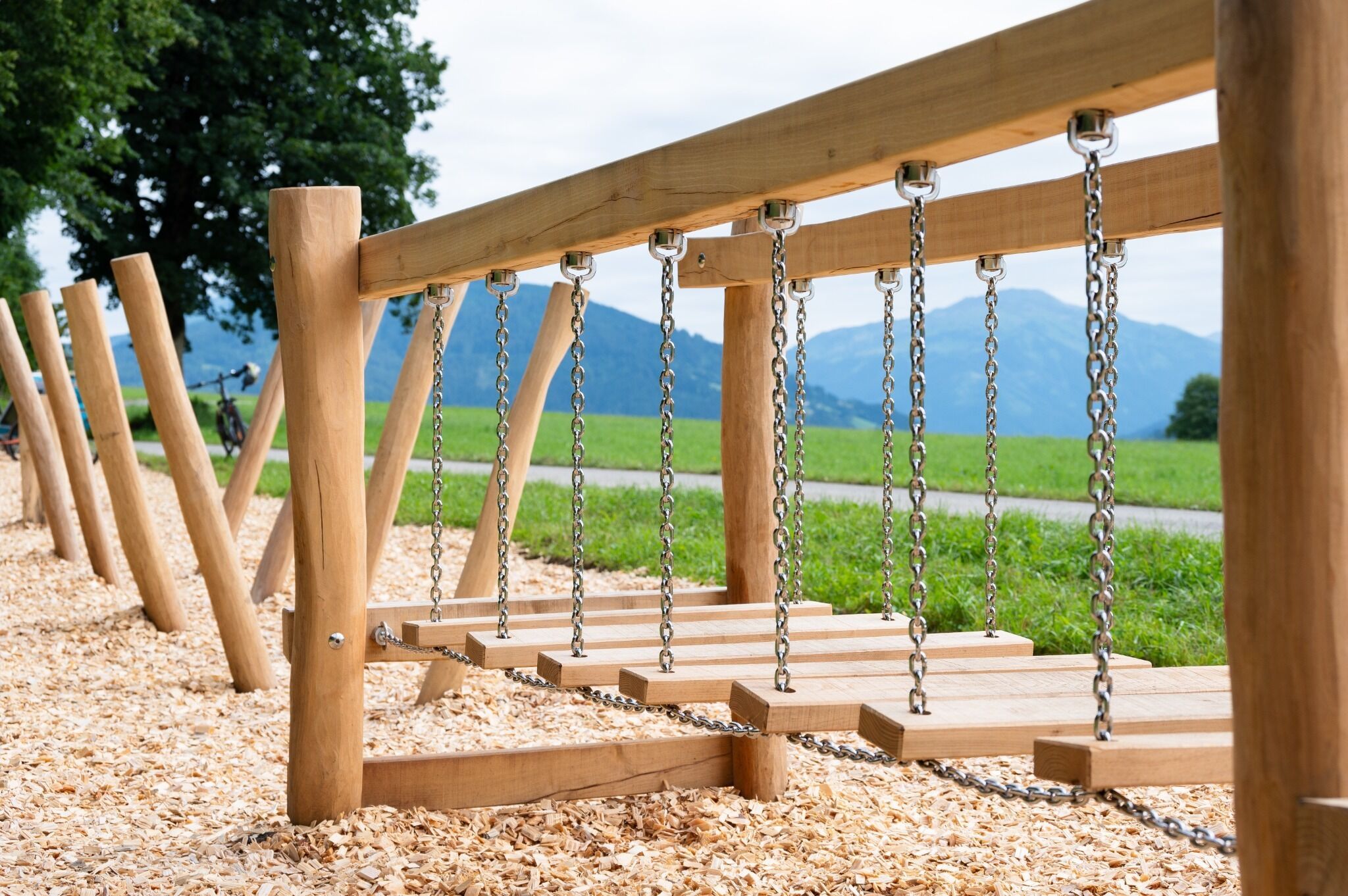
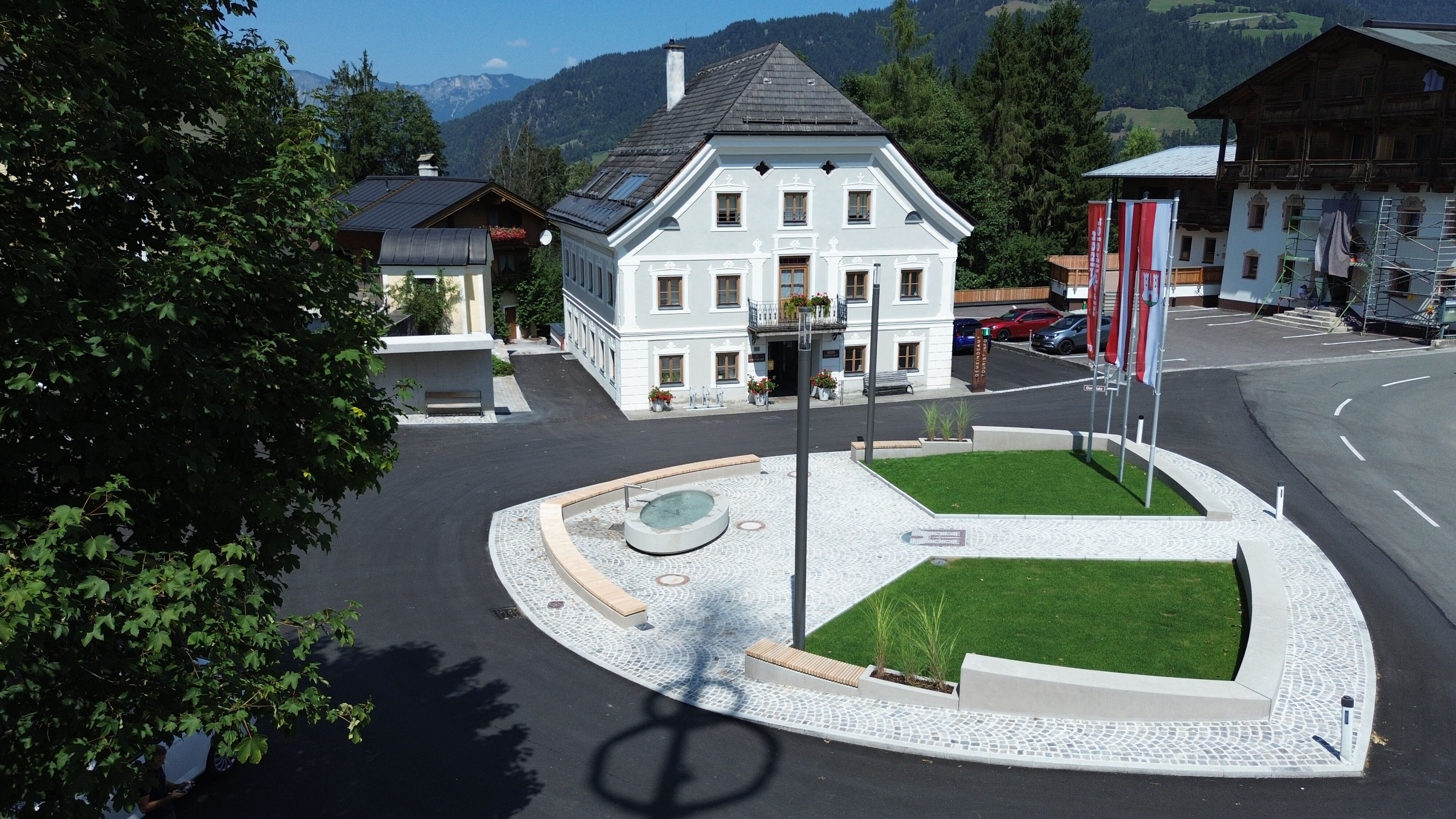
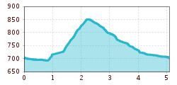
The starting point of this circular hike is the village square in Itter. From there, walk first towards Stefans Dorfladl and then turn left into Rosenweg. Following the signs for 'Lindweg', the route leads through the small farming village, past the large Maurer-Hof with its farm shop, and across a field path to the edge of the forest.
There, hike uphill through the forest until you reach the asphalt road. Cross this and continue through the shade-giving forest to the next road. Now walk along the road and follow the signs for 'Hopfgarten ü. Hacha'.
After a few minutes, you will reach the hamlet of Hacha. From there, the route leads back towards Itter without any significant inclines.
There are no refreshment stops along the tour, so we recommend taking enough food and drink with you.
Bus: Itter Dorfplatz
Regional guest card = train ticket from Kirchbichl to Hochfilzen + bus ticket from Mariastein to Kitzbühel included!
Valid on ÖBB local trains (S, REX) and InterRegio trains (IR) between Kirchbichl - Wörgl and Hochfilzen
Not valid on RJ, RJX, EC, IC, ICE, D and NJ/EN trains
From Innsbruck/Munich: A12 exit Wörgl Ost - feeder road B178 direction St. Johann i. T. & Kitzbühel - after the tunnel stay on the B178 for approx. 3km (drive under the roundabout) - follow Luechstraße to Loferer Straße - at the large crossroads (left Itter industrial estate) turn right onto Itterer Straße - after a slight road climb you will reach your starting point after approx. 1.5km.
From Kitzbühel: B170 Brixentalstraße in the direction of Wörgl - drive through Hopfgarten until shortly before the town exit (Hopfgarten railway station) - approx. 100m after Hopfgarten railway station, follow the signs to the right to Itter - on Itterer Straße approx. 2km up the mountain until you reach the start of the hike.
free (small) car park directly at the village square in Itter


