Arrival by public transport
Line 210, Bus stop Tösens, walking distance to Übersachsen: 5,5 km
This hike takes you from Übersachsen to the Langezberg shepherd's hut up to the Matonkopf.
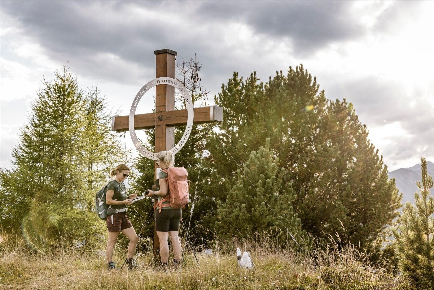


The start is in the district of Übersachsen, which can be easily reached by car. There are two car parks, one in front of Übersachsen at the old gravel hut and one at the Langhaus. It takes about 2 hours to walk from Übersachsen to the Matonkopf. The path is partly flat, partly uphill and continues to the Langhaus and across the ‘Fadele-Wiesen’ to the Langezberg shepherd's hut. At the hut, a somewhat steep path (marked with red dots on the stones) leads to the left to the Matonkopf. From there you have a very beautiful view!
Line 210, Bus stop Tösens, walking distance to Übersachsen: 5,5 km
Parking area at the old gravel depot or at the Langhaus, free of charge


.jpg")
.jpg")
.jpg")
.jpg")
.jpg")
.jpg")
.jpg")
.jpg")

.jpg")
.jpg")
.jpg")
.jpg")
.jpg")

")
