Pfunds - Tösens | Via Claudia Augusta

open
Pfunds / Samnaun Group
Difficulty ratings: easy
Route length: 9.2 km
Duration: 3:00 h

Varied hike from Pfunds to Tösens with scenic forest trails and a historic highlight.

Tour information

  • Requirement: easy
  • Length: 9.2 km
  • Duration: 3:00 h
  • Elevation uphill:277 hm
  • Elevation downhill:318 hm
Highest point1,053 m

Starting point

Infobüro | Pfunds

Finishing point

Gemeindeamt | Tösens
  • Fitness level 2 / 6
  • Technique 2 / 6

Best time of year

  • January
  • February
  • March
  • April
  • May
  • June
  • July
  • August
  • September
  • October
  • November
  • December

Equipment

We recommend equipment suitable for the tour and weather conditions, including sturdy shoes, weatherproof clothing, food, and appropriate maps.
Source: TVB Tiroler Oberland

Description

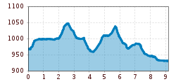
The hike begins in Pfunds and initially leads gently downhill along a scenic forest path toward Tschupbach. After a short stretch along the road, you reach the small settlement.

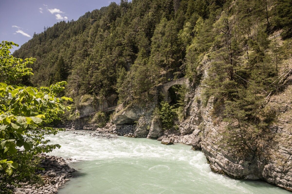
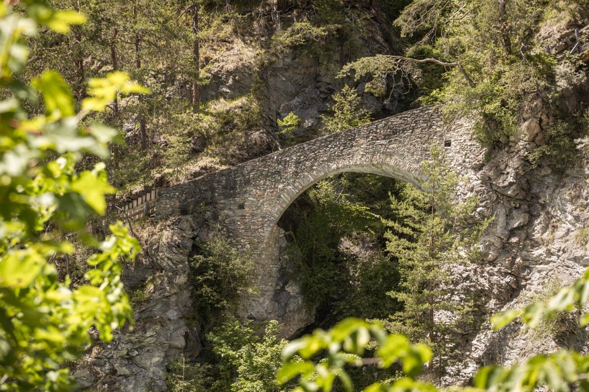
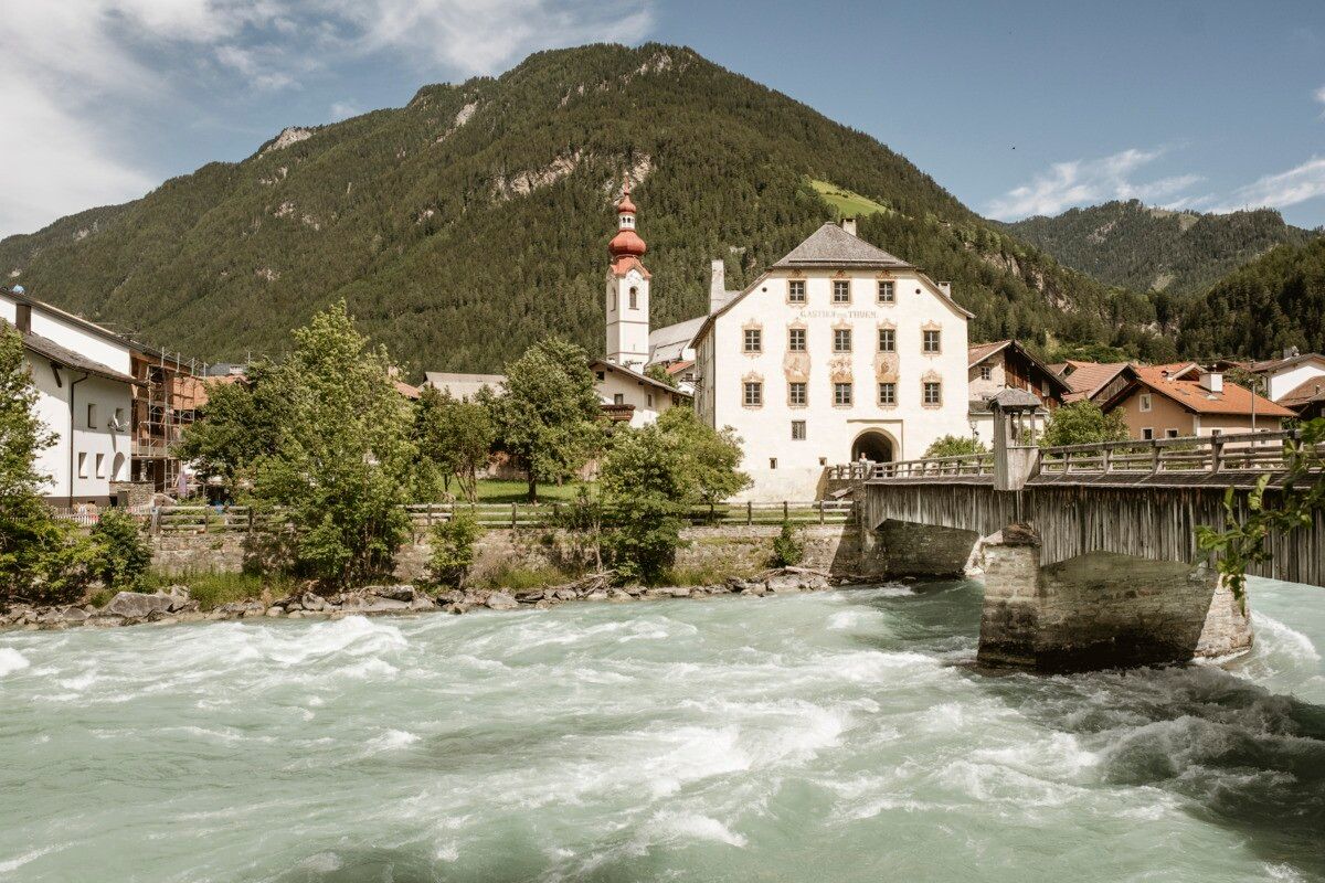
From there, the route continues to Tösens, where you cross the impressive historic Roman bridge just before reaching your destination. This stage combines nature-rich trails with a cultural highlight and offers beautiful views of the surrounding landscape.

Getting here

  • Arrival by public transport

    Line 210,  Bus stop Tösens Gemeindeamt

More tours in the surrounding area

Newsletter

The mountain is calling? So does our newsletter!

In our monthly newsletter we reveal the best holiday tips for Tyrol.