Mountain hikes Pitzenhöfe – Leins – retour

Wenns im Pitztal / Ötztal Alps
Difficulty ratings: easy
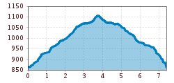
Route length: 7.4 km
Duration: 2:00 h

Pitzenhöfe – Leins – retour

Tour information

  • Requirement: easy
  • Length: 7.4 km
  • Duration: 2:00 h
  • Elevation uphill:300 hm
  • Elevation downhill:300 hm
Highest point1,120 m

Starting point

Fork before the football pitch

Finishing point

Fork before the football pitch

Features

  • Circular route
  • suitable for pushchairs

Best time of year

  • January
  • February
  • March
  • April
  • May
  • June
  • July
  • August
  • September
  • October
  • November
  • December

Trail condition

asphalt, field path
Source: TVB Pitztal

Description

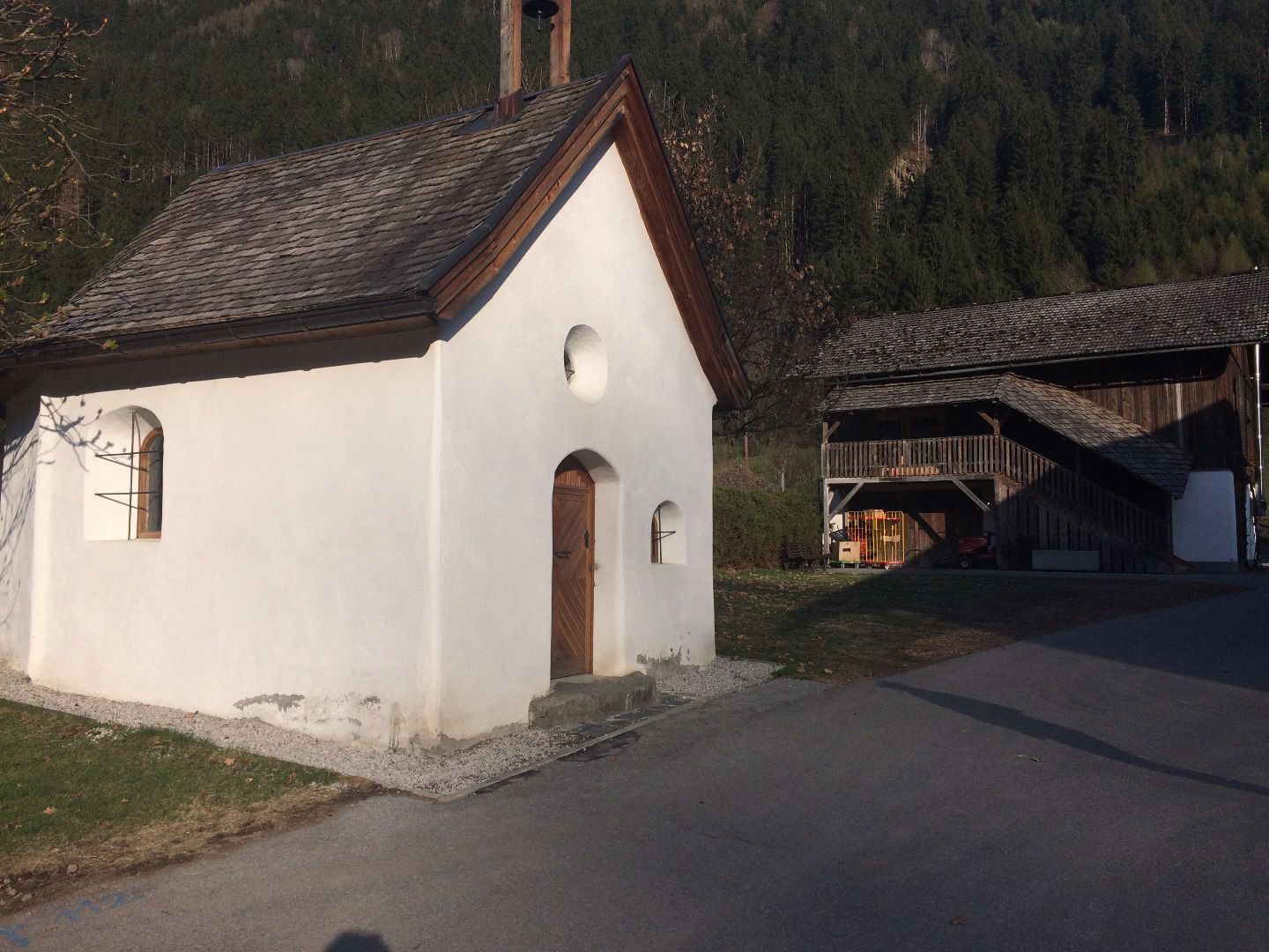
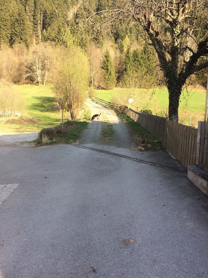
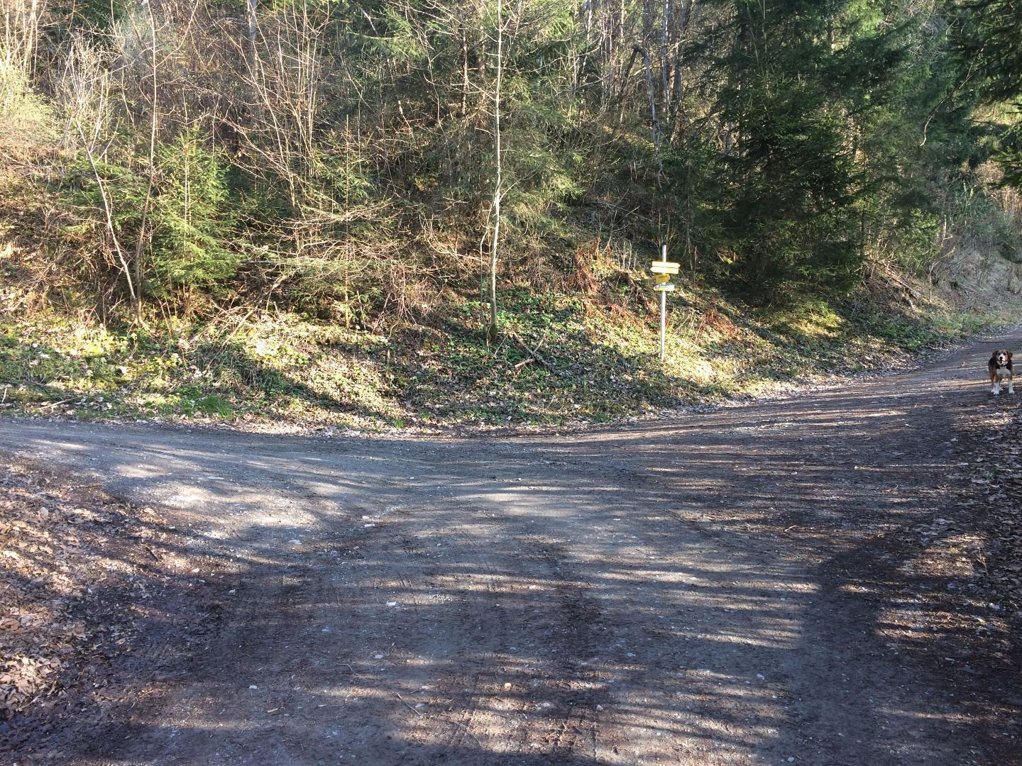
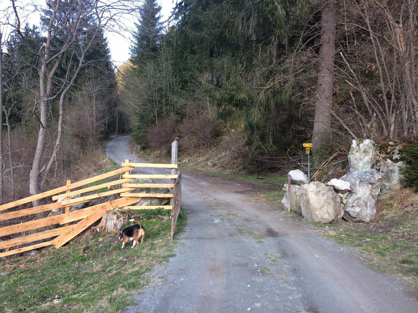
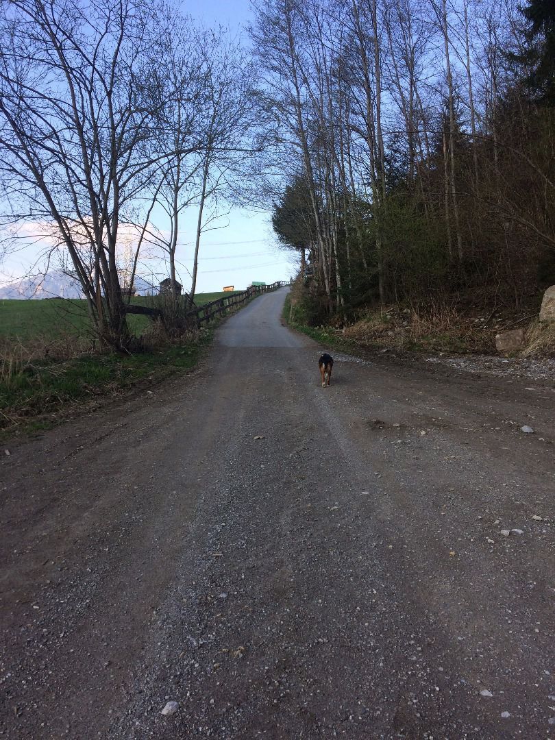
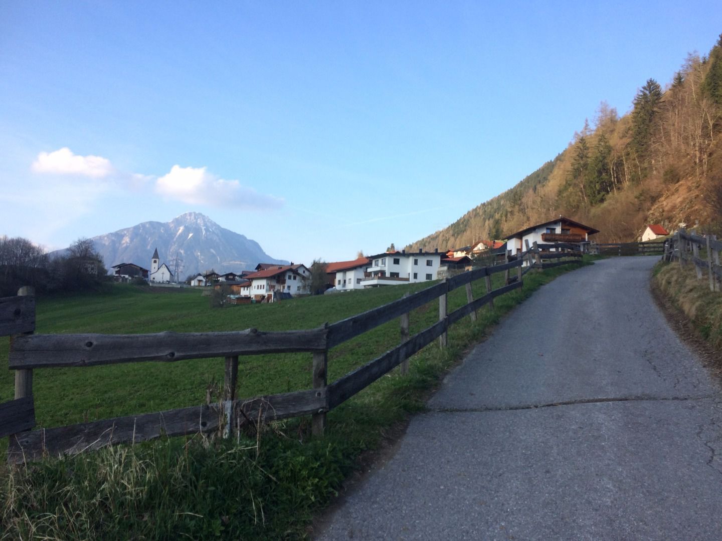
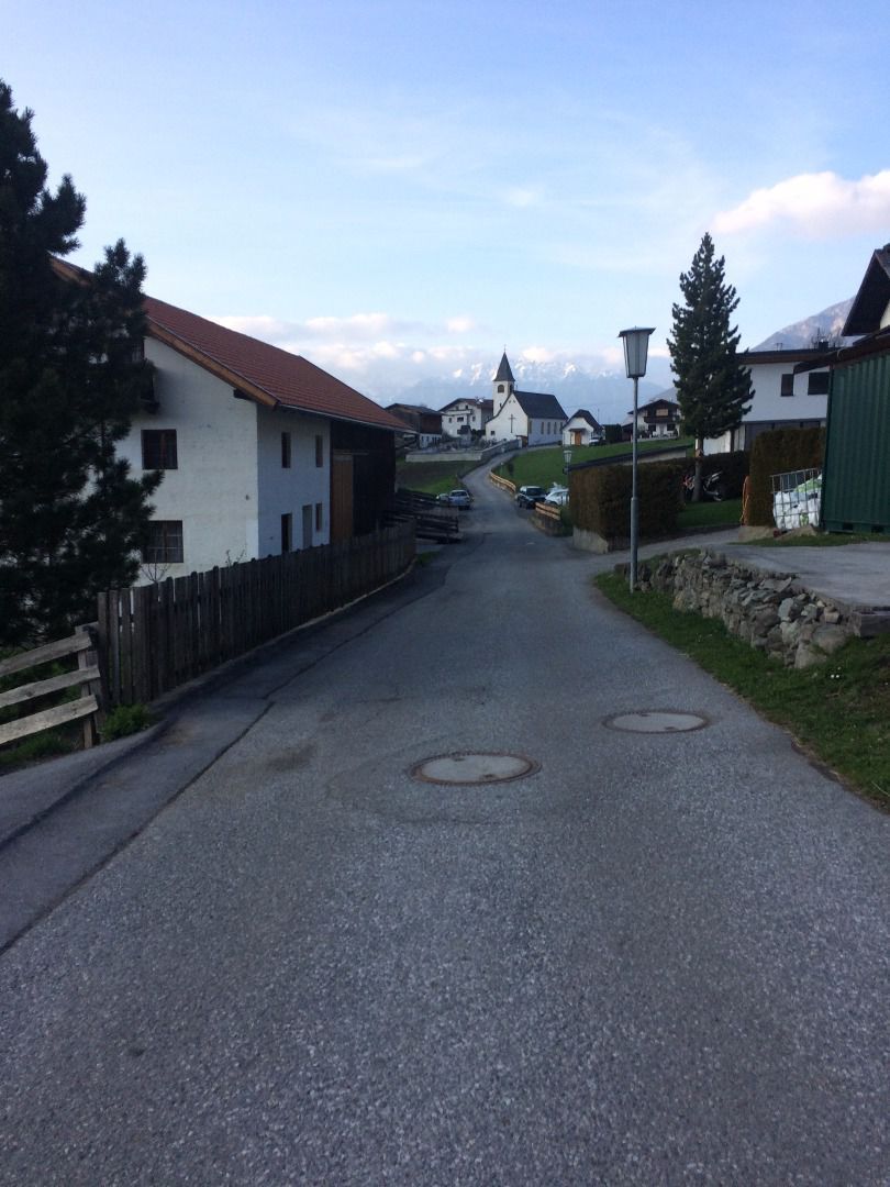
Starting point before the football pitch. Turn right at the chapel, located directly adjacent to the road. Then, after about 200 m turn left in the direction of Unterleins. Once there, walk past the church to the bus stop and over a farm track to Oberleins. Return to the starting point via the same route.

Weather

Tue

clear sky
32°C/17°C
35%0.4l5 km/h

Today

light rain showers
29°C/16°C
60%5.9l5 km/h

Thu

light rain showers
25°C/16°C
80%21.1l5 km/h
Go to weather forecast

More tours in the surrounding area

Newsletter

The mountain is calling? So does our newsletter!

In our monthly newsletter we reveal the best holiday tips for Tyrol.