

Difficulty:medium
Length:7.2 kmDuration:5:00 hElevation uphill:580 m
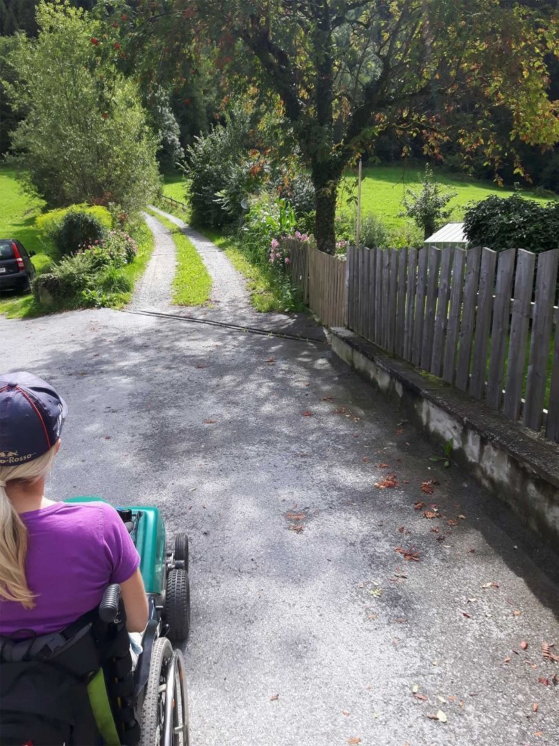
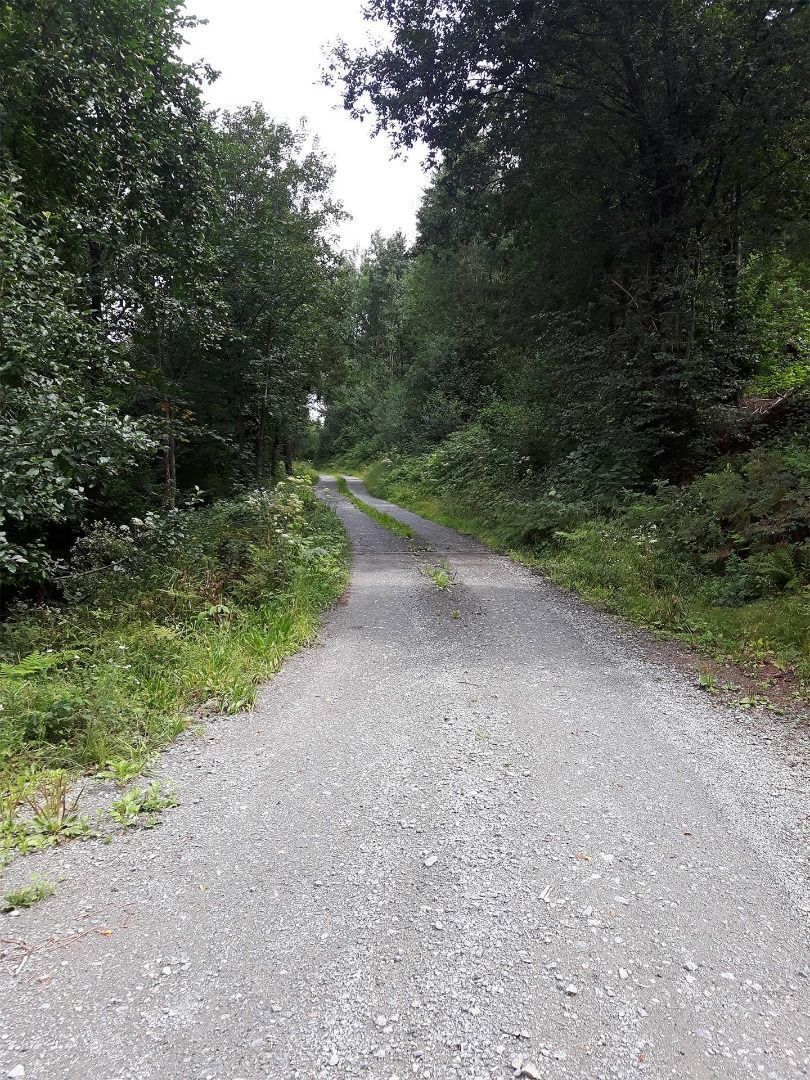
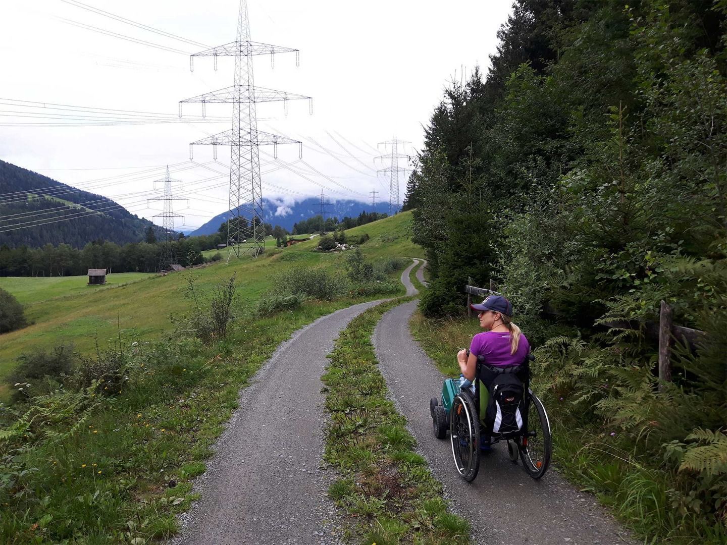
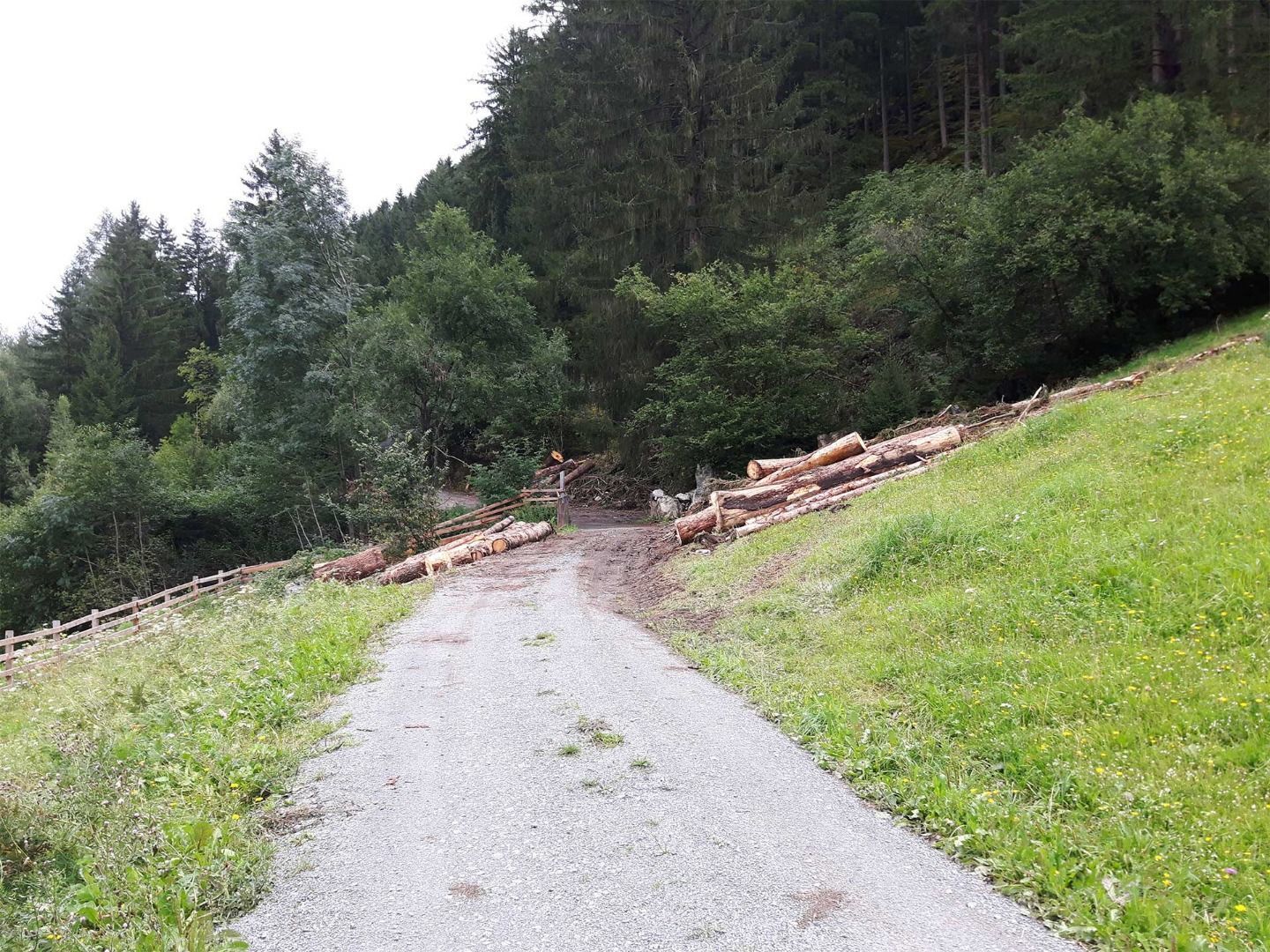
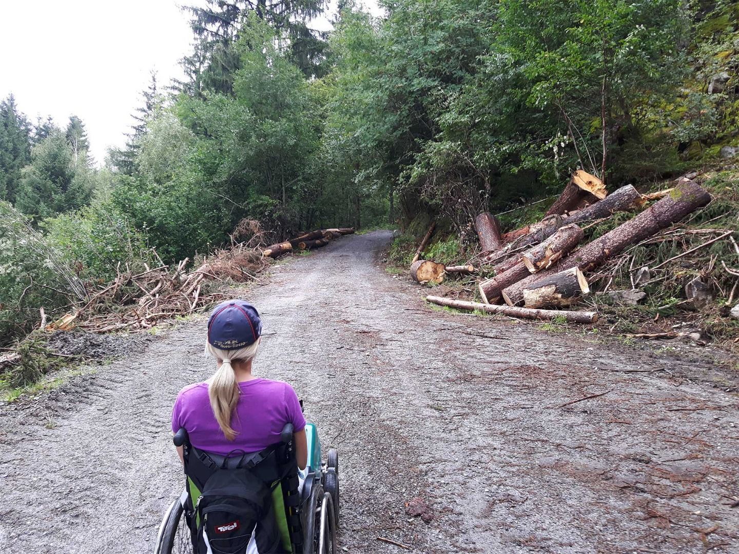
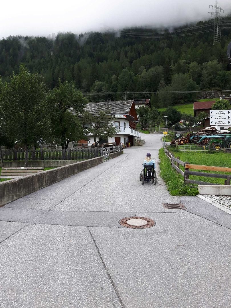
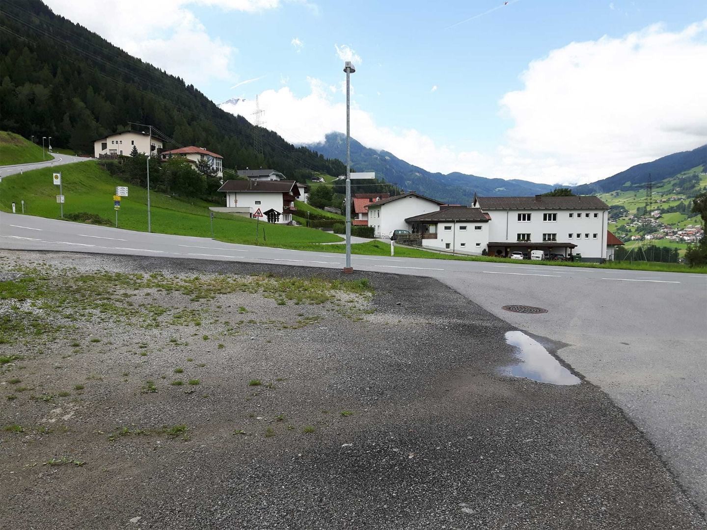
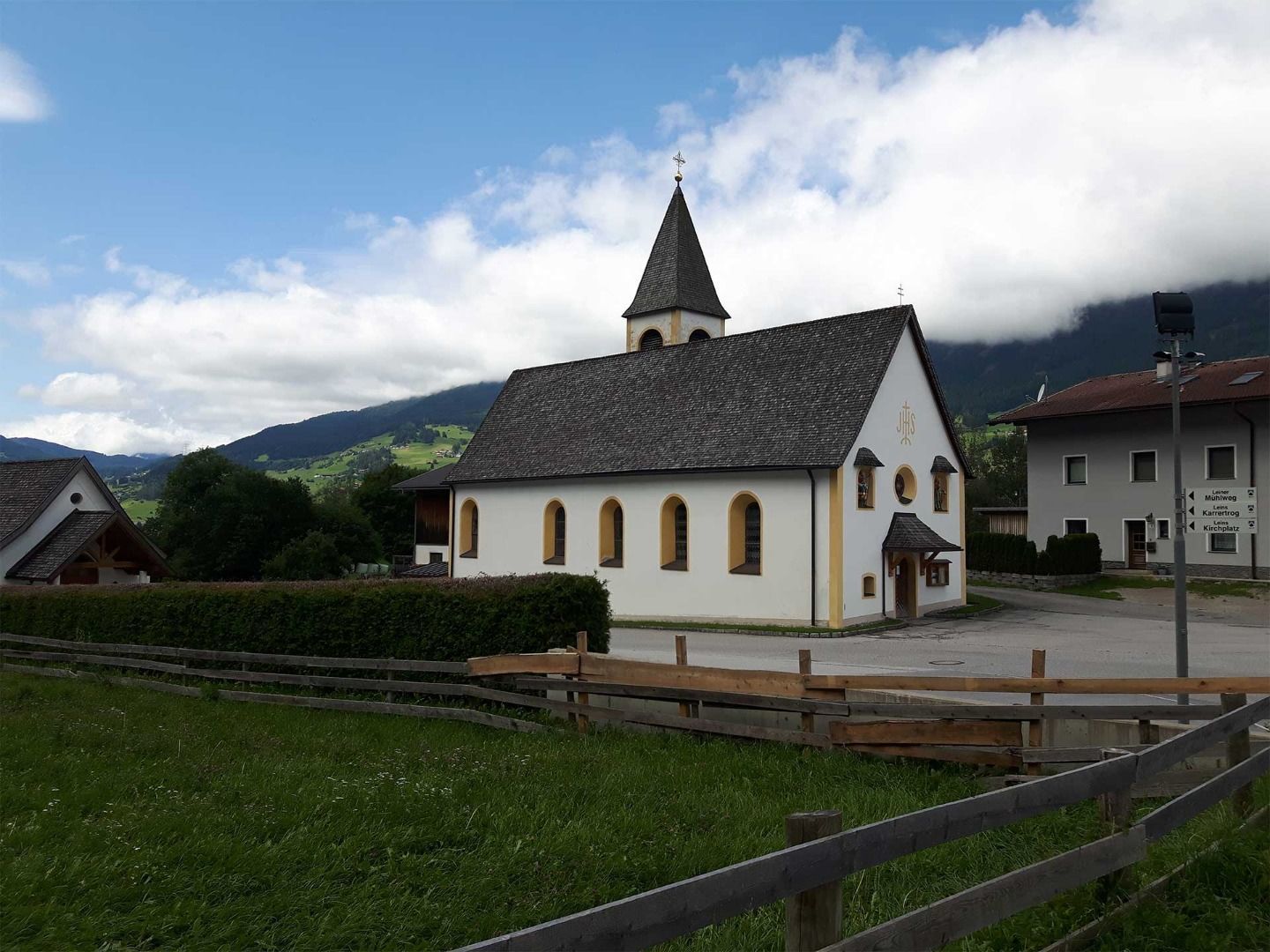
Swiss-Trac Tour: There is a car park directly opposite the football pitch in Pitzenhöfe. From there, follow the path past the chapel on the left into the forest. The tarmac road stops here and turns into a gravel forest path. The path is wide and easy to navigate with the Swiss-Trac. It is a steady and steep uphill climb in the direction of Leins with water bars crossing the path at regular intervals. You will reach the hamlet of Unterleins after ca. 2.5 km. Here, the path follows along the village road through the hamlet until reaching the main road. The path continues on the opposite side to Oberleins, however, as it is hard to navigate. It is therefore advised to turn back and return via the same route to the starting point.


