
Difficulty:easy
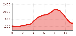
Length:6.2 kmDuration:2:00 hElevation uphill:242 m
Over the Trunajoch to the Lichtsee and down into the idyllic Obernbergtal valley.
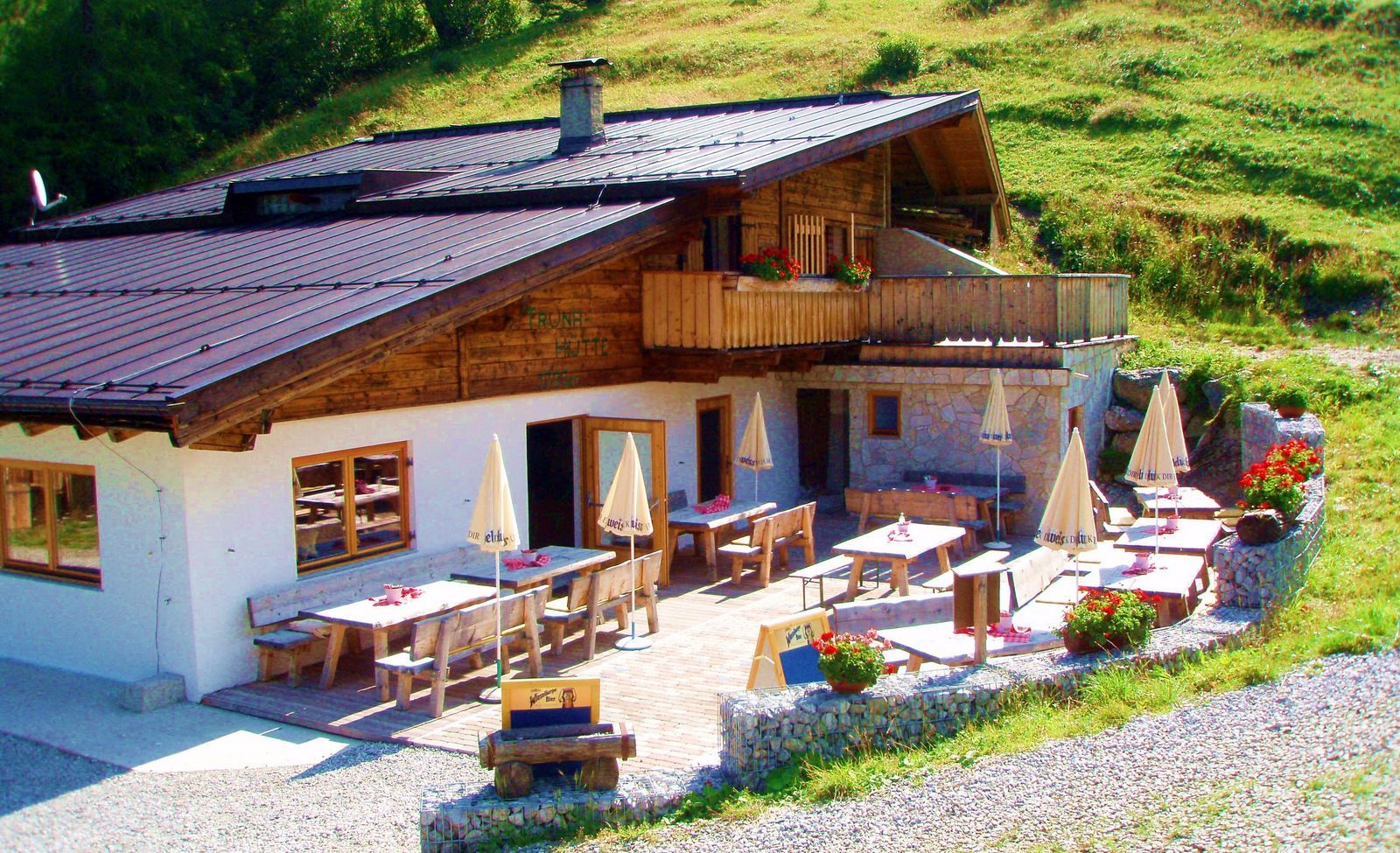
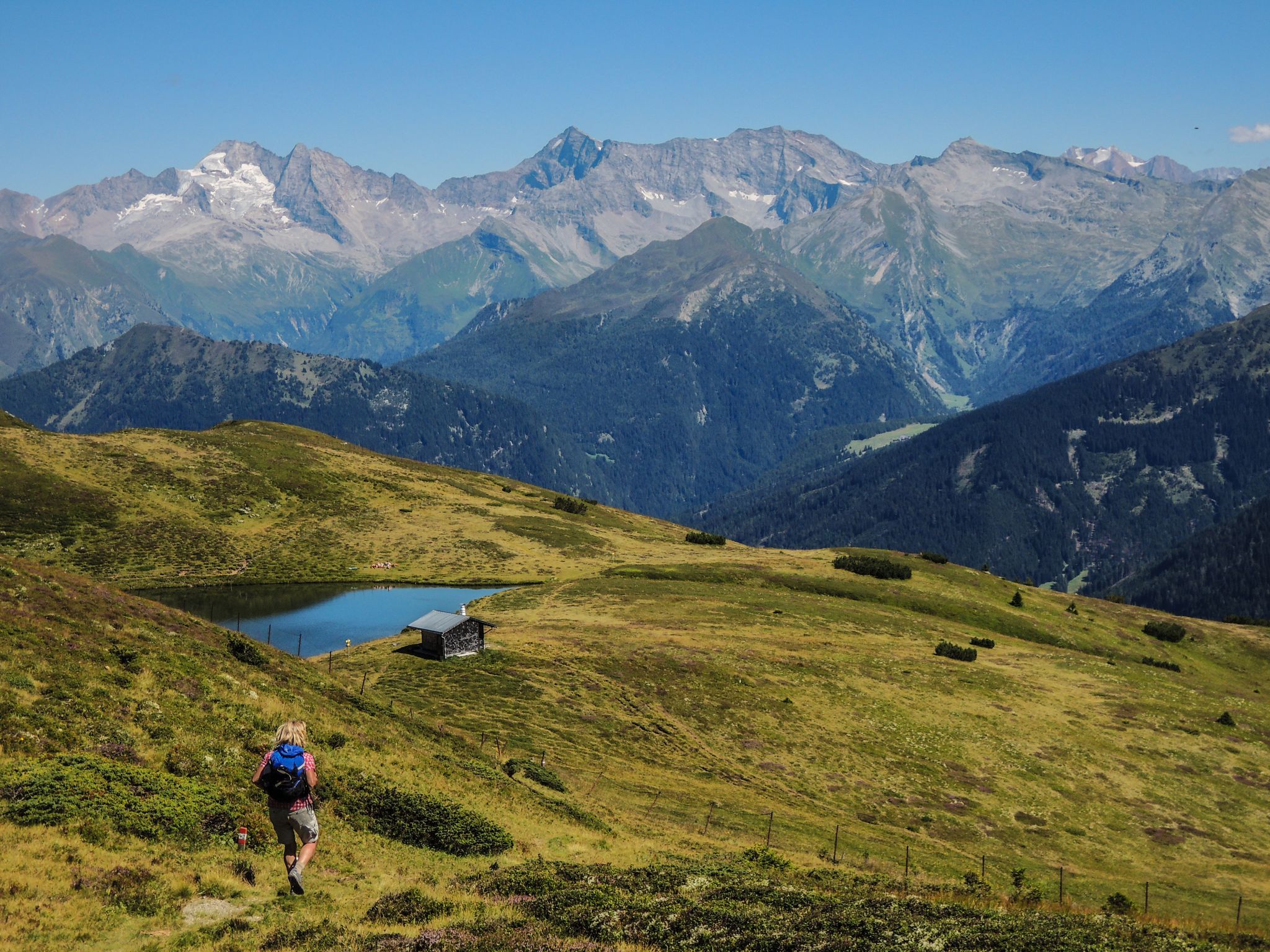
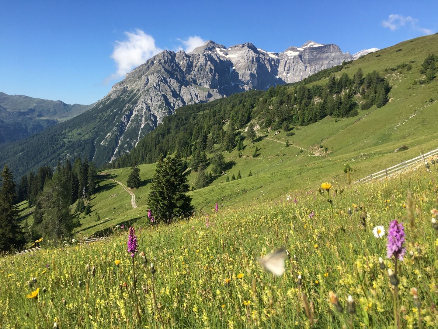
Starting from the centre of Trins on the asphalt road down to the bridge of the Gschnitztbach stream, past the Annakapelle chapel, turn left about 100 metres after the "Liftstüberl", always follow the signs to the Trunahütte hut and continue along the dirt road into the valley. At the end of the asphalt road, a trail begins on the right, on which we reach the Trunahütte after about 1.5 hours. Situated at 1,723m, it is a good place to stop for refreshments (overnight stay possible on request) before continuing to the Trunajoch. From the Trunahütte, follow trail no. 125 past the Trunaalm, then continue steeply uphill in pathless terrain to the Trunajoch (2,152m) with magnificent views of the Olperer, Lichtsee, Obernberger See and Portjoch. After the Lichtsee lake, continue on trail no. 125 steeply downhill to Obnerberg at 1,400m in the idyllic Obernberg valley. The somewhat easier path or trail leads from the Lichtsee lake first in a southerly direction and then continues via the Kostenbergalm pasture to Obernberg.
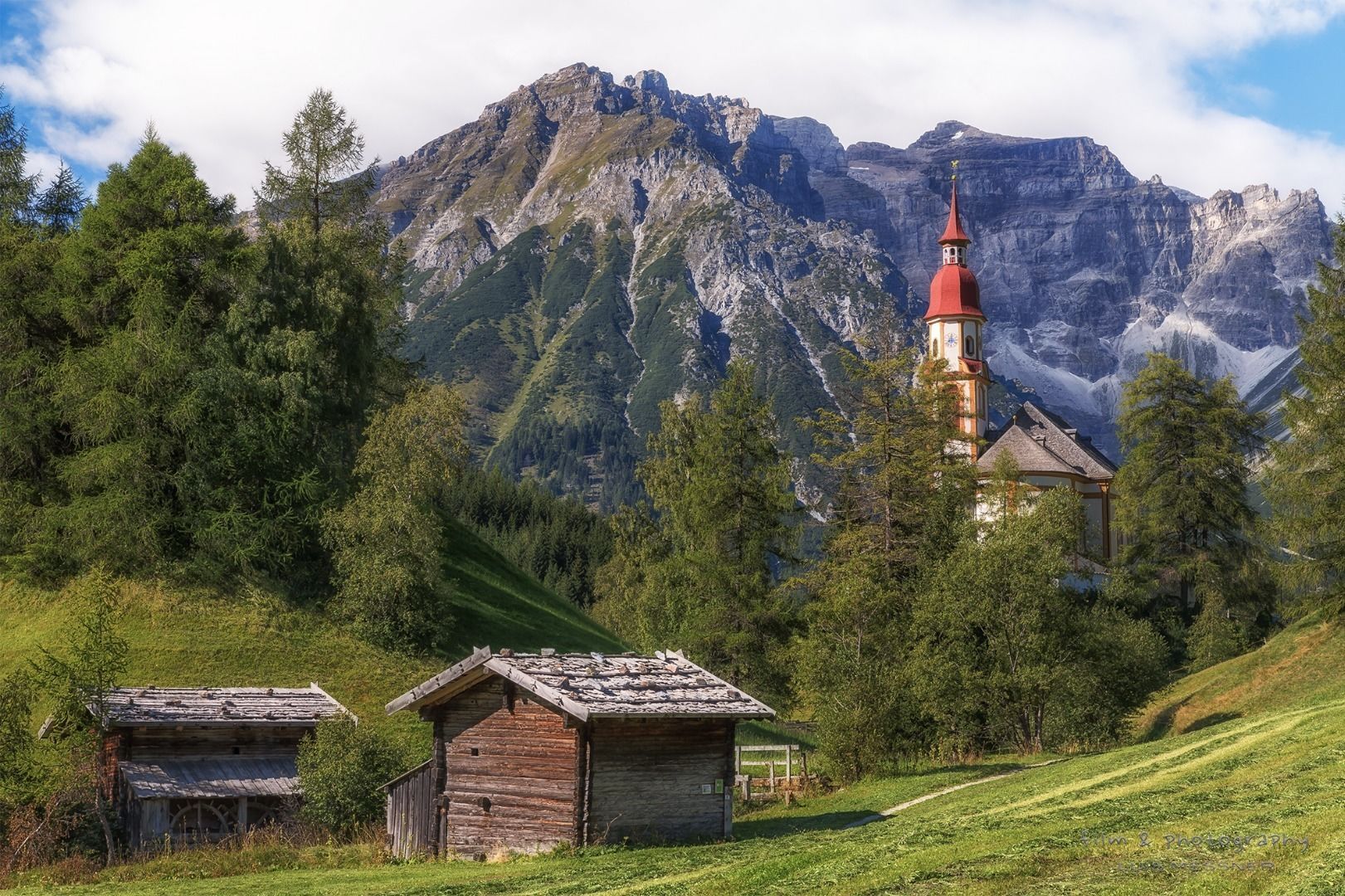
Accommodation Obernberg
Almi's Berghotel - www.almis-berghotel.at
other private landlords - www.wipptal.at/unterkuenfte
Source: www.romedius-pilgerweg.at


 (1).jpg")
.jpg")
")

.JPG")


