
Difficulty:medium
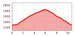
Length:12.0 kmDuration:5:00 hElevation uphill:936 m
Family-friendly round tour on the border between Schmirn and Vals valley, through forests and alpine pastures, in front of the magnificent walls of the Vals valley.
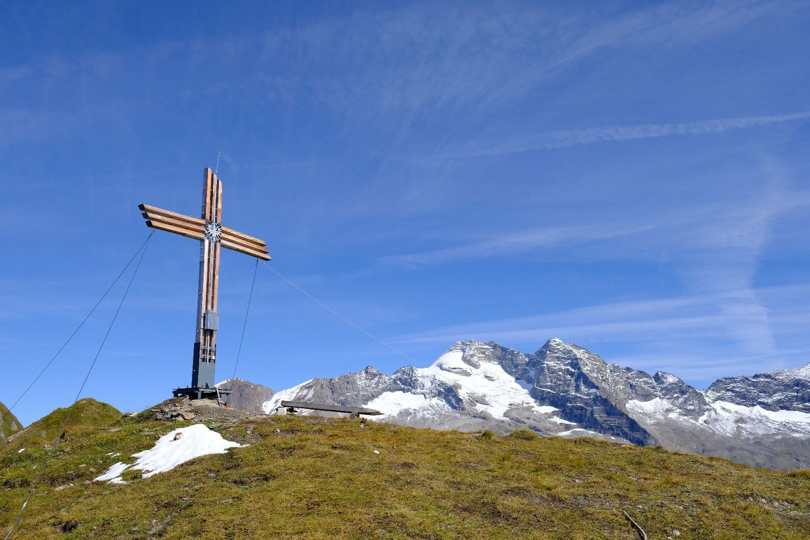
From the starting point, the path leads through a rustic forest to a high alpine pasture area, the so-called "Jeneweinrinne". Along this you climb up and after a while you change into a light larch forest, which stretches up to the beautifully situated Lorenzalm. In an arc over a path you finally reach the Ottenspitze - with it you leave the somewhat more strenuous part of the tour behind you, because now, against the magnificent backdrop of the Hoher Wand, Schrammacher and Fussstein, you continue slightly uphill along the ridge to the Gammerspitze, the highest point of the tour. The diversified terrain does not only fascinate by its floral richness of species, also numerous animals, specially chamois, can be observed.
ROUTE DESCRIPTION
From the car park next to the main road, you first follow the access road into the valley on the hillside. After about 100m, at a "Überstiegl", the path with the no. 68 begins, which first leads through pastures, later along the forest uphill. A little later you finally reach a wide avalanche line, the so-called "Jeneweinrinne". You climb up this and cross a forest path, before following the second one a bit westwards until you reach a ridge. At the ridge a signpost indicates the beginning of another trail leading to the Lorenzalm. Once there, continue in a westerly direction for the last 150 hm to the Ottenspitze. Finding the way around the summit is a bit difficult - it is best to keep to the ridge. Along the ridge we continue, slightly ascending and with a wonderful view, in the opposite, western direction, until we reach the Gammerspitze, the goal of the tour.
The way back is the same as the ascent over the ridge. At the height of the Windbichl, a small elevation between Gammerspitze and Ottenspitze, a path begins that leads directly and without detours down to the Lorenzalm. Here begins the path with the number 67, which, unlike the ascent, leads a little further out of the valley back into the valley. After a good hour's descent you reach the Schmirntallandesstraße - it is best to follow this for 500m into the valley to get back to the starting point in the floodplain.


.jpg")
")


 (1).jpg")


.JPG")
