
Opening hours:Open today
Place:Sölden
:Restaurant
Giggijoch -> Rotkogl hut -> Schwarzsee -> Schwarzkogl


Moderate mountain path; suitable for sure-footed and experienced hikers; good physical condition, mountain hiking experience, and mountain equipment (see Equipment) are necessary. Please check the current weather report at: https://www.oetztal.com/de/sommer.html
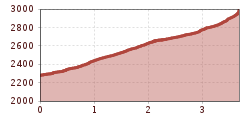
Appropriate equipment such as breathable and weather-appropriate outdoor clothing, ankle-high hiking boots, wind, rain and sun protection, a hat, and possibly gloves is required for all hikes and routes. Carrying a first aid kit, a mobile phone, and possibly a hiking map, as well as sufficient provisions when hiking without the option to stop at inns, is necessary.The route to Schwarzkogl begins at the mountain station of the Giggijoch cable car (approx. 2,284 m). From there, a well-developed hiking trail with several switchbacks leads up to the Rotkogl hut at about 2,660 m. Even on this section, impressive views of the surrounding mountain landscape can be enjoyed.
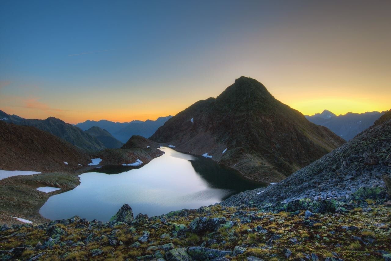
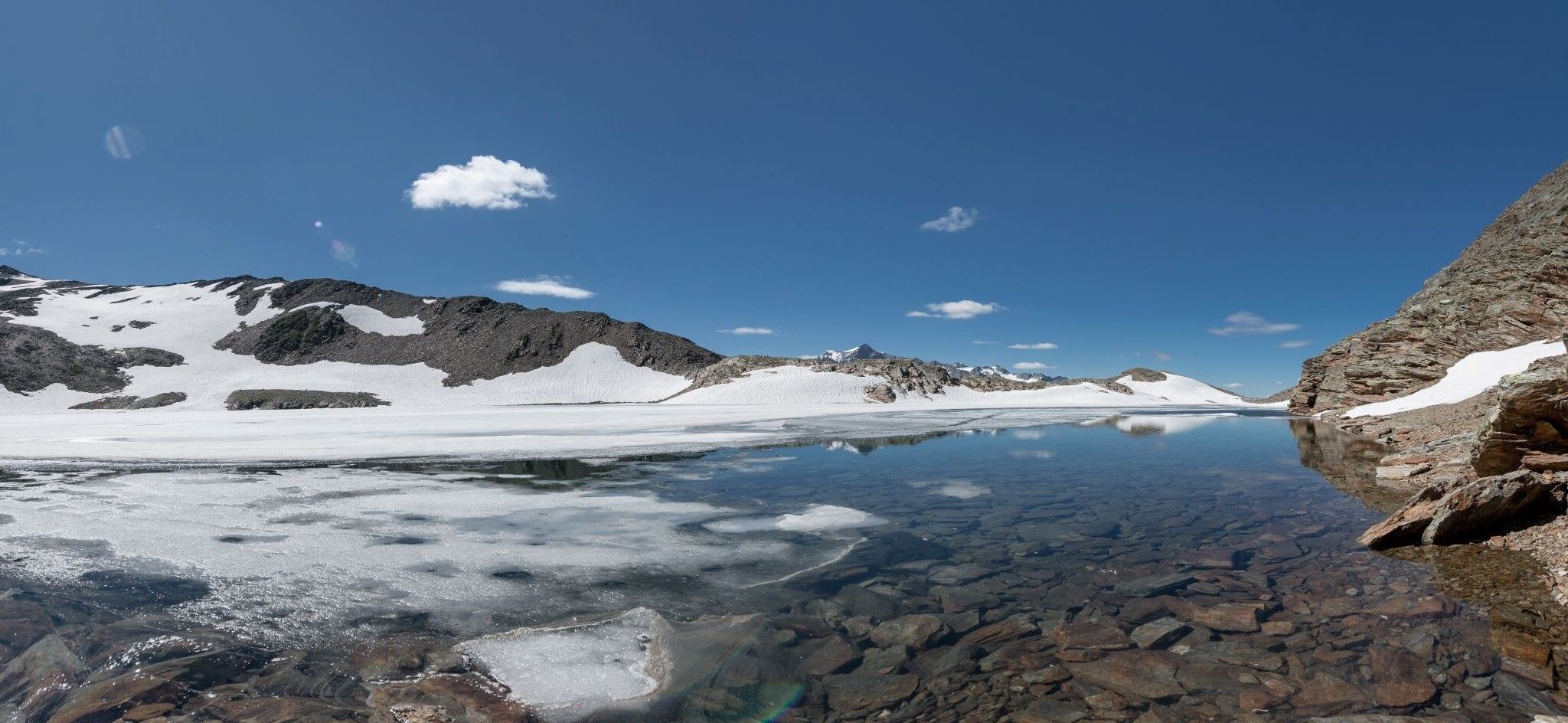
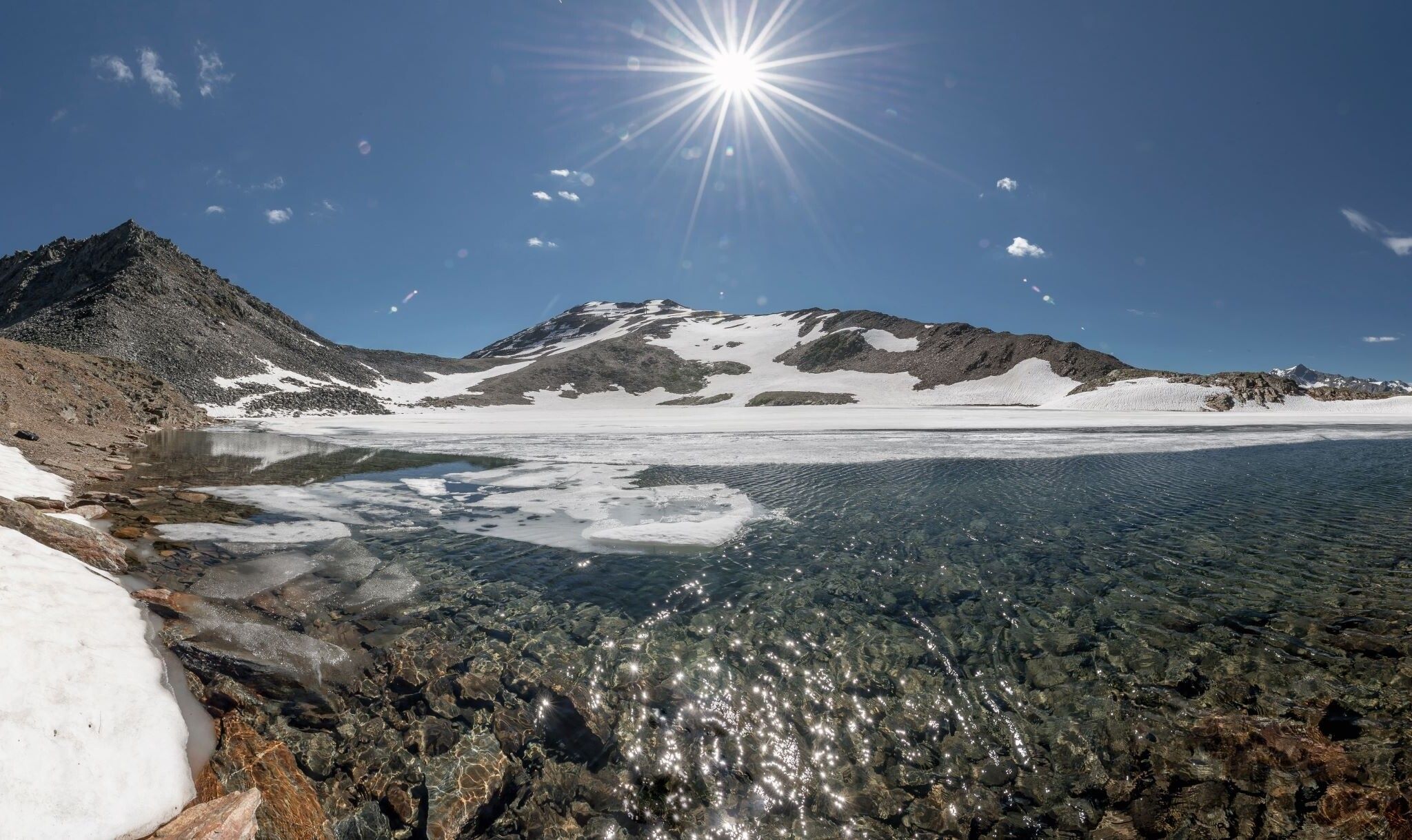
After a short rest at the hut, a narrower path is followed, passing small streams and the picturesque Schwarzsee (approx. 2,790 m). This part of the route impresses with its high alpine scenery and offers numerous opportunities for photo stops. The path continues over open terrain towards the former Schwarzkogl mountain station.
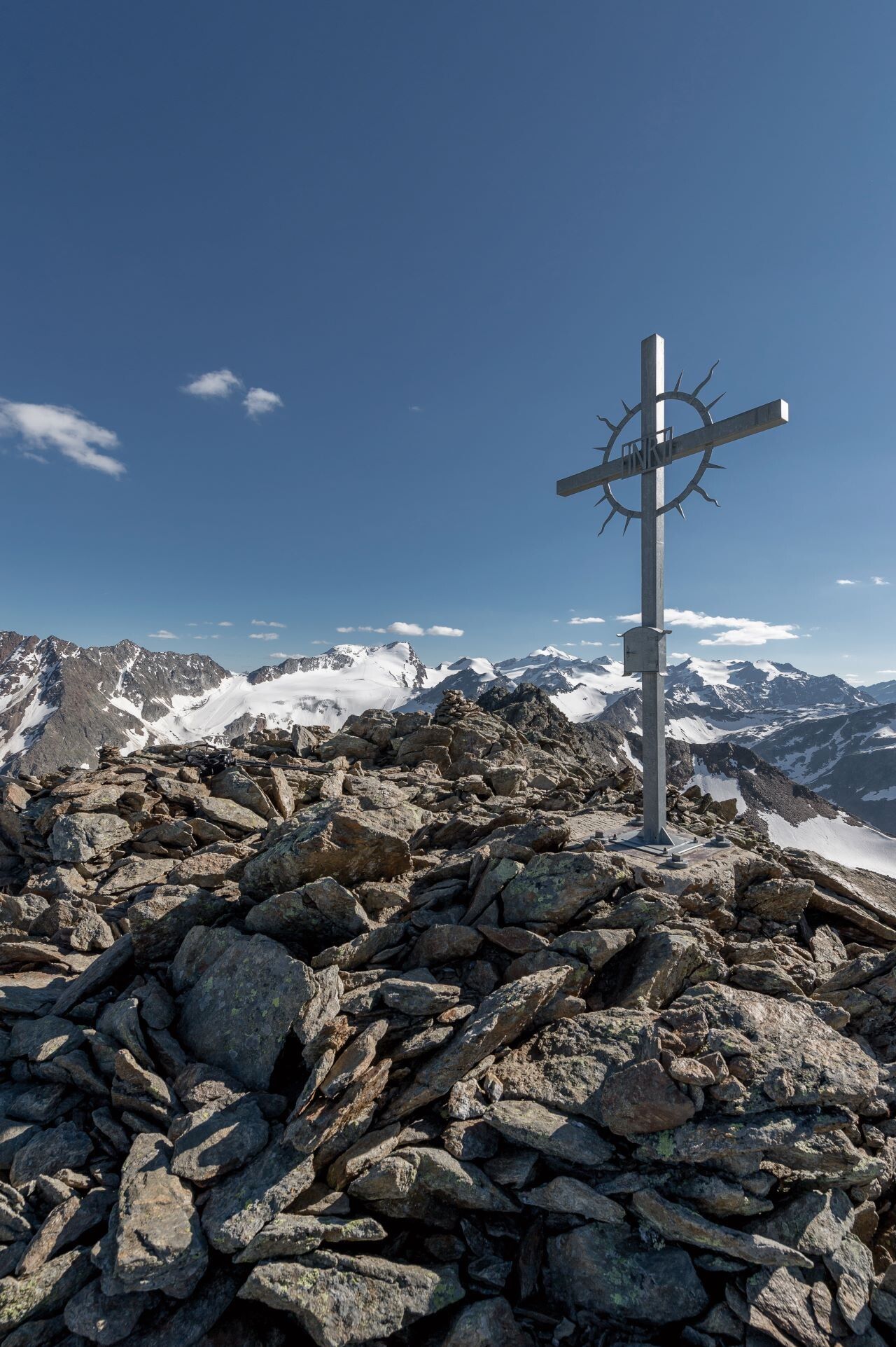
The final ascent to the summit is steep in places and runs over scree fields but does not require climbing passages. Sure-footedness, good basic fitness, and suitable hiking boots are still essential. Upon reaching the summit of Schwarzkogl at 3,016 m, you will be rewarded with a breathtaking panoramic view of the Ötztal Alps.
The descent follows the same way over the Schwarzsee, the Rotkogl hut, and back to the Giggijoch cable car. Alternatively, the route can be extended or combined with other routes in the region.
Travel comfortably and safely by train to the Ötztal train station. The final stop or exit point is the ÖTZTAL station. Afterwards, you can conveniently and quickly travel through the entire valley to your desired destination using public transport or local taxi companies. The current bus schedule is available at: fahrplan.vvt.at
The following parking options are available in Sölden:
Postplatz parking lot
Stiegele parking lot
Stufen parking lot
Giggijoch cable car + underground car park
Gaislachkogl cable car + underground car park
Hochsölden parking lot
Hochsölden parking garage, 1st parking deck
Parking spaces in Sölden are subject to charges.For parking over several days (e.g. hut tour):
Parking ticket either online or directly at the Gaislachkogl cable car ticket office


.jpg")


.jpg")


.jpg")


