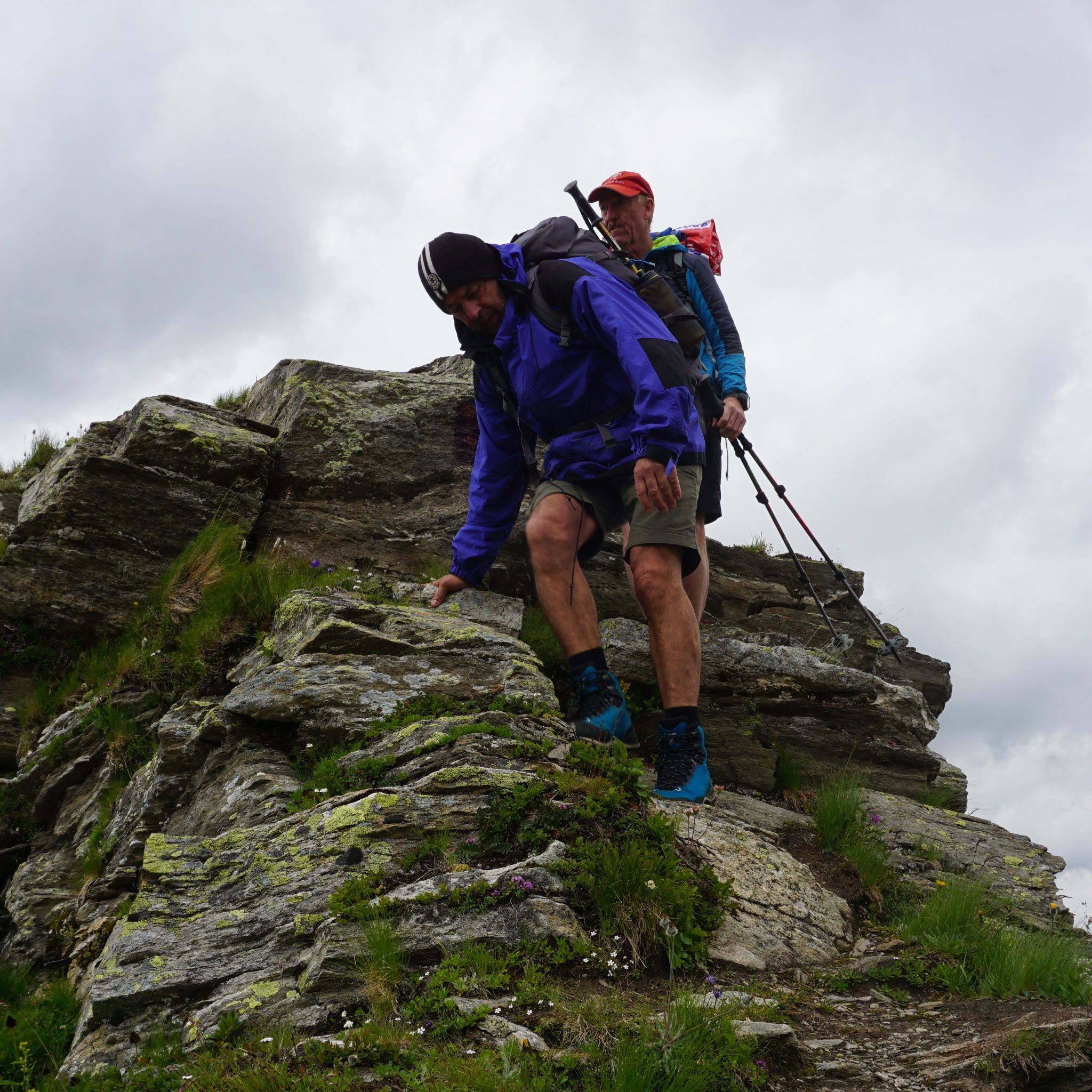
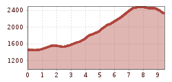
Open interactive mapOpen this POI on the interactive mapElevation profileSenselerweg: Toldern via Steinernes Lamm to the Geraer Hut.gpx
Round tour OttenspitzDifficulty:mediumLength:7.0 kmDuration:3:30 hElevation uphill:735 mSee trailSee trail: Round tour Ottenspitz
Kirchdachspitze (2.840m) from TrinsDifficulty:difficultLength:16.0 kmDuration:8:00 hElevation uphill:1,609 mSee trailSee trail: Kirchdachspitze (2.840m) from Trins
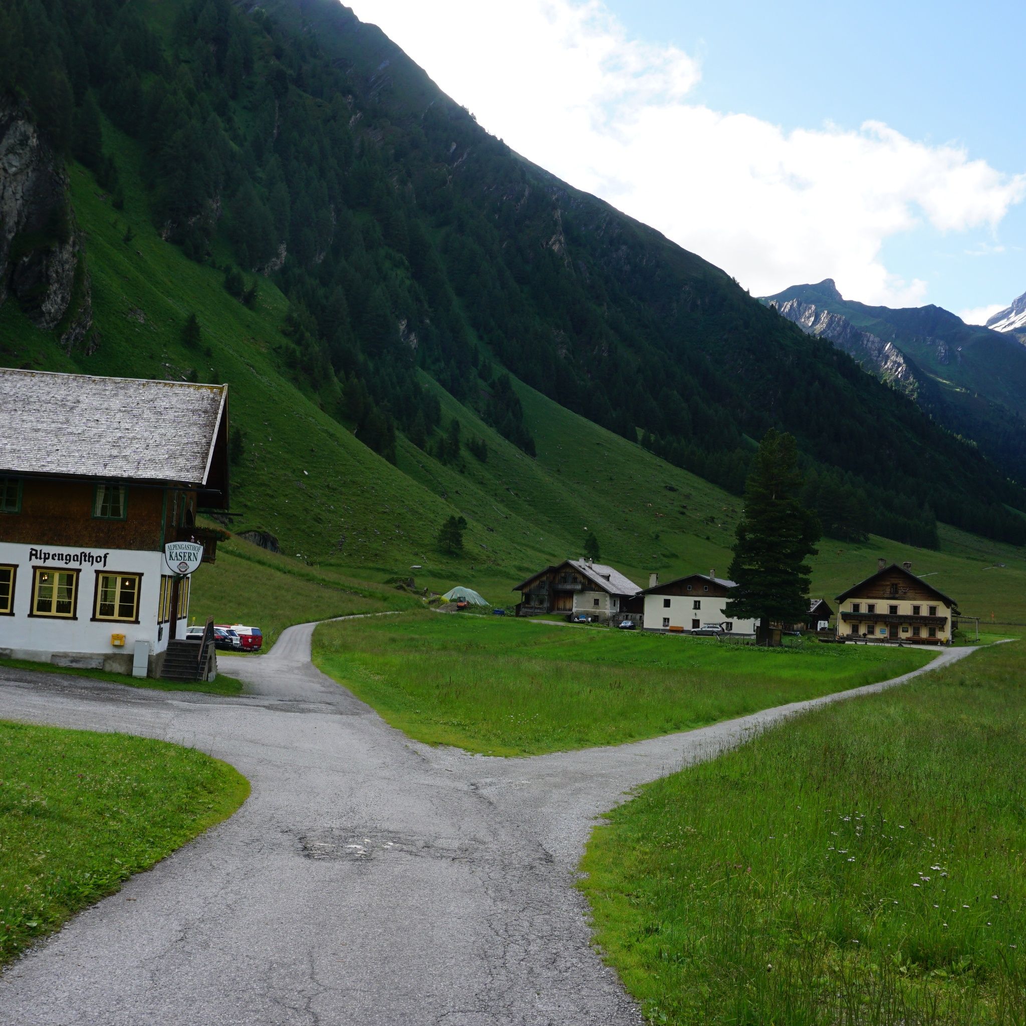
Jausenstation-St-Magdalena_JohannesBitter_TVB-Wipptal_130823_079.jpg © JOHANNES BITTER To the pilgrimage church of St. Magdalena (1,661 m)Difficulty:mediumLength:3.0 kmDuration:2:30 hElevation uphill:450 mSee trailSee trail: To the pilgrimage church of St. Magdalena (1,661 m)
Maria-Waldrast_Sommer_JohannesBitter_TVB-Wipptal_120823_067-Bearbeitet.jpg © JOHANNES BITTER Serles (2.717m)Difficulty:difficultLength:8.0 kmDuration:4:30 hElevation uphill:1,080 mSee trailSee trail: Serles (2.717m)
Lake Obernberg circular routeDifficulty:easyLength:6.0 kmDuration:2:30 hElevation uphill:269 mSee trailSee trail: Lake Obernberg circular route
31732266.jpg © TVB Wipptal Round tour Griesberg-Wolfendorn-Wildseespitz-Landshuter Hütte-VenntallDifficulty:difficultLength:25.0 kmDuration:10:00 hElevation uphill:1,780 mSee trailSee trail: Round tour Griesberg-Wolfendorn-Wildseespitz-Landshuter Hütte-Venntall
Hike to LaponesalmDifficulty:easyLength:6.2 kmDuration:2:00 hElevation uphill:242 mSee trailSee trail: Hike to Laponesalm
Wildlahner round tour via Ramsgrubnersee, Schoberspitzen (2,602m) and Steinernes Lamm (2,528m)Difficulty:mediumLength:13.0 kmDuration:8:00 hElevation uphill:1,380 mSee trailSee trail: Wildlahner round tour via Ramsgrubnersee, Schoberspitzen (2,602m) and Steinernes Lamm (2,528m)
Navis, Stöcklalm_Tirol Werbung_Bitter Johannes_Navis (2) © Tirol Werbung | Johannes Bitter StöcklalmDifficulty:mediumLength:14.0 kmDuration:3:40 hElevation uphill:828 mSee trailSee trail: Stöcklalm
Bike&Hike-Gschnitz_JohannesBitter_TVB-Wipptal_300624_018.jpg © Johannes Bitter BlaserDifficulty:mediumLength:11.0 kmDuration:4:30 hElevation uphill:1,067 mSee trailSee trail: Blaser
Ridge hike to the LichtseeDifficulty:mediumLength:13.0 kmDuration:3:30 hElevation uphill:834 mSee trailSee trail: Ridge hike to the Lichtsee
Round hike to Padauner KogelDifficulty:mediumLength:12.0 kmDuration:5:00 hElevation uphill:936 mSee trailSee trail: Round hike to Padauner Kogel
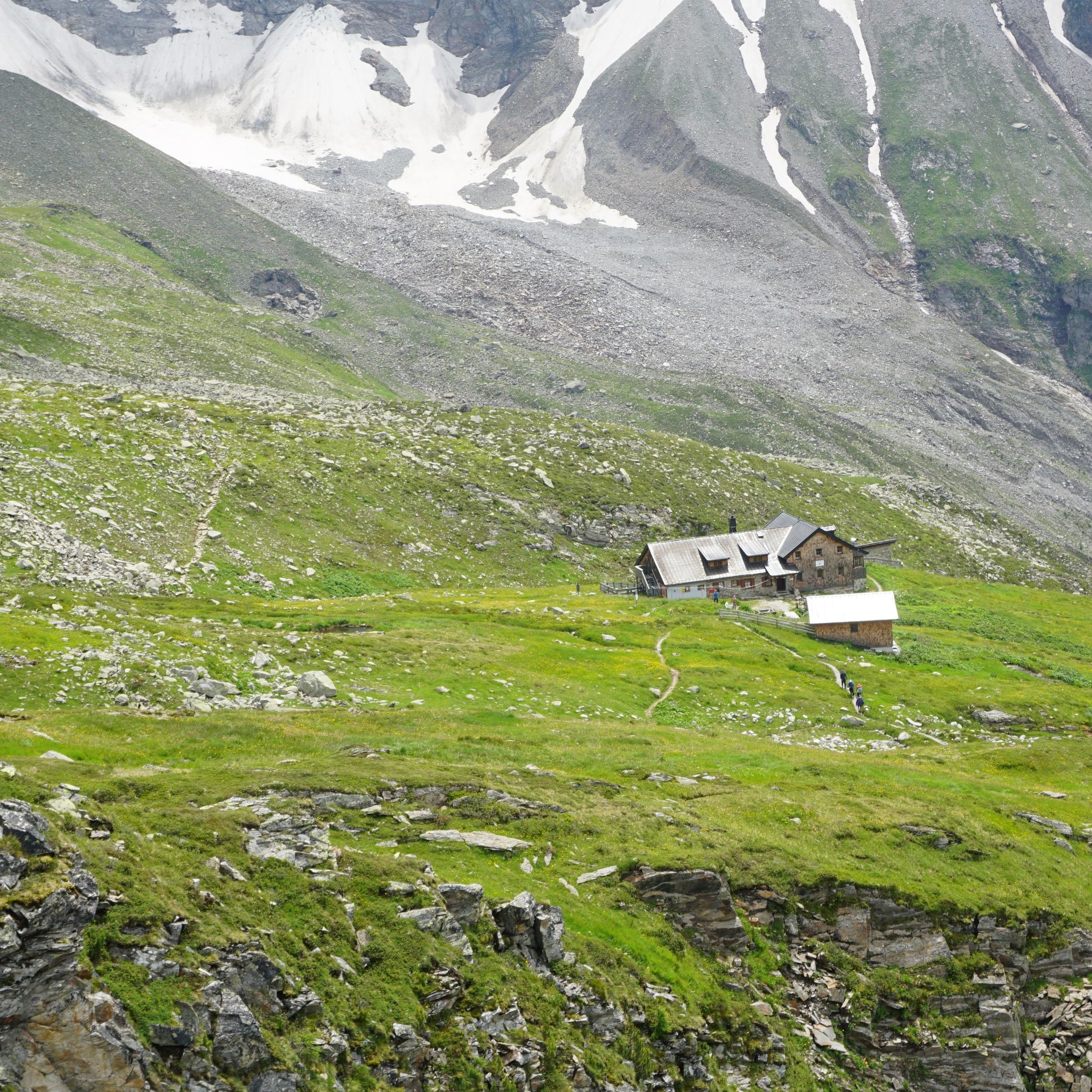
Geraerhütte_JohannesBitter_TVB-Wipptal_170623_105.jpg © JOHANNES BITTER Hike to the Geraer Hütte | Austrian TyrolDifficulty:mediumLength:7.0 kmDuration:5:30 hElevation uphill:1,000 mSee trailSee trail: Hike to the Geraer Hütte | Austrian Tyrol
Rundtour Gargglerin - TribulaunhütteDifficulty:mediumLength:12.3 kmDuration:5:30 hElevation uphill:1,387 mSee trailSee trail: Rundtour Gargglerin - Tribulaunhütte
Gschnitz in winter.jpg © TVB Wipptal Premium Winter Hiking Trail GschnitztalDifficulty:easyLength:6.3 kmDuration:2:00 hElevation uphill:50 mGo to winter hikeGo to winter hike: Premium Winter Hiking Trail Gschnitztal
24197801.jpg © TVB Wipptal Premium Winter Hiking Trail Lower Forest Trail to the Cold HostelDifficulty:easyLength:8.0 kmDuration:2:50 hElevation uphill:300 mGo to winter hikeGo to winter hike: Premium Winter Hiking Trail Lower Forest Trail to the Cold Hostel
24202433.jpg © TVB Wipptal Premium Winter Hiking Trail Waldraster JöchlDifficulty:mediumLength:8.3 kmDuration:3:30 hElevation uphill:200 mGo to winter hikeGo to winter hike: Premium Winter Hiking Trail Waldraster Jöchl
Stage 7: Bremer Hut - Innsbrucker HutDifficulty:difficultLength:9.5 kmDuration:7:00 hElevation uphill:839 mSee trailSee trail: Stage 7: Bremer Hut - Innsbrucker Hut
andreschoenherr_DSC1420.jpg © TVB Stubai Descent from the Innsbrucker HutDifficulty:mediumLength:12.6 kmElevation uphill:25 mSee trailSee trail: Descent from the Innsbrucker Hut
Kurt Hasenbacher © Tourismusverband Wipptal Padauner KogelDifficulty:mediumLength:6.0 kmDuration:4:00 hElevation uphill:500 mGo to winter hikeGo to winter hike: Padauner Kogel
Gschnitztaler_Huettentour_2018 (3).JPG © Judith Gstrein Gschnitztal Valley Hut HikeDifficulty:difficultLength:60.0 kmDuration:38:50 hElevation uphill:5,500 mSee trailSee trail: Gschnitztal Valley Hut Hike
Wasserweg-Gschnitztal_Gschnitzy_2021_klein__1_.jpg © Judith Hammer Water Trail GschnitzDifficulty:easyLength:15.0 kmDuration:4:30 hElevation uphill:300 mSee trailSee trail: Water Trail Gschnitz
Peter Habeler RundeDifficulty:difficultLength:41.3 kmDuration:17:00 hElevation uphill:2,236 mSee trailSee trail: Peter Habeler Runde
Give feedback for a chance to win a special holiday experience!Click here for the surveyClick here for the survey


 (1).jpg")


")

.jpg")


.JPG")


