Arrival by public transport
Line 210, 220, Bus stop: Ried i. O. Gemeindeamt, walking distance to the tourist information office: 200 m
A nice hike from Ried offering lovely views of the Upper Inn Valley and the Glockturmkamm mountains.
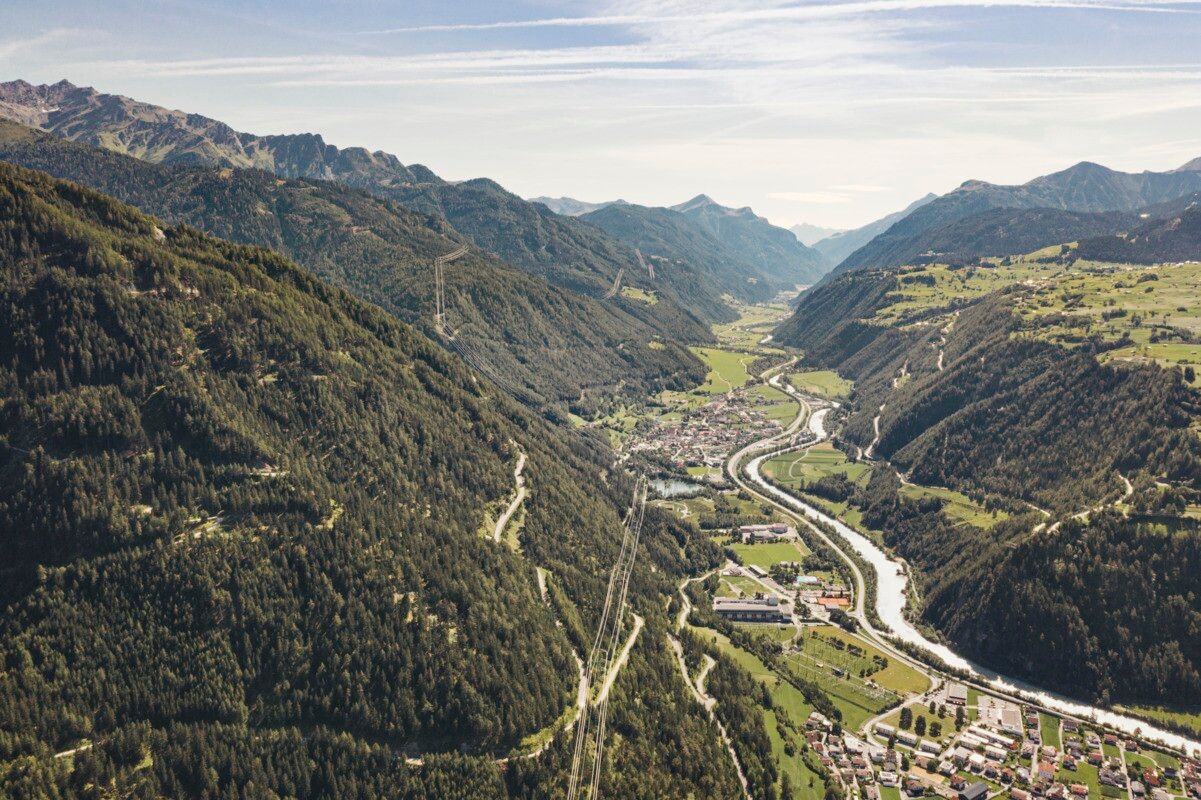
From the Ried Tourist Office, one follows the road toward Serfaus-Fiss-Ladis. Just after crossing the Inn Bridge, the path turns left and runs along the Inn on a paved road to the Schöpf Loden Factory in the Frauns district. After crossing the Beutelbach and passing a small chapel, a serpentine path on the right leads up to Serfaus Feld with the Grillalm. The route continues gently uphill across meadows until reaching the road at the entrance to Serfaus. Along the way, there are beautiful views of the Glockturmkamm mountains. The return is along the same path, though one can also take the Postbus over the Sonnenplateau via Serfaus, Fiss, and Ladis back to Ried in the Upper Inn Valley.
Line 210, 220, Bus stop: Ried i. O. Gemeindeamt, walking distance to the tourist information office: 200 m
Parking area at the lake, free of charge


.jpg")


.jpg")
.jpg")


")
