Mountain hikes St. Jakob i.H. - Buchensteinwand / Jakobskreuz

St. Jakob in Haus / Lofer Stone Mountains
Difficulty ratings: medium
Route length: 4.6 km
Duration: 4:10 h

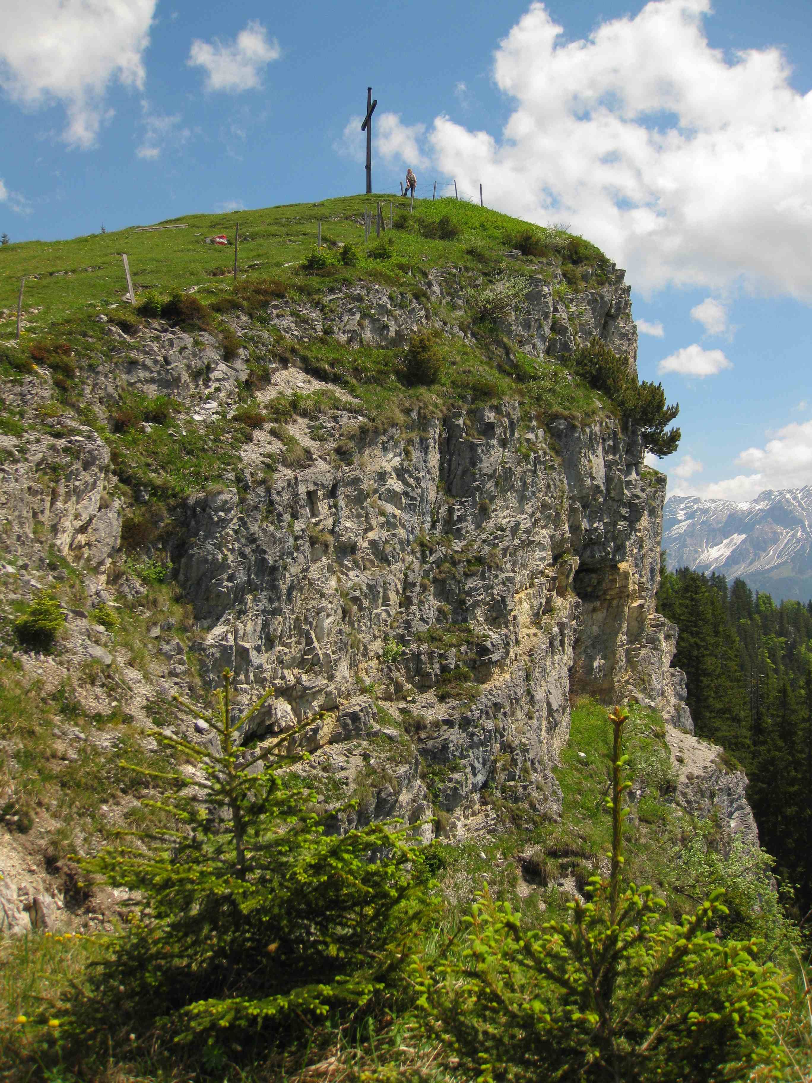
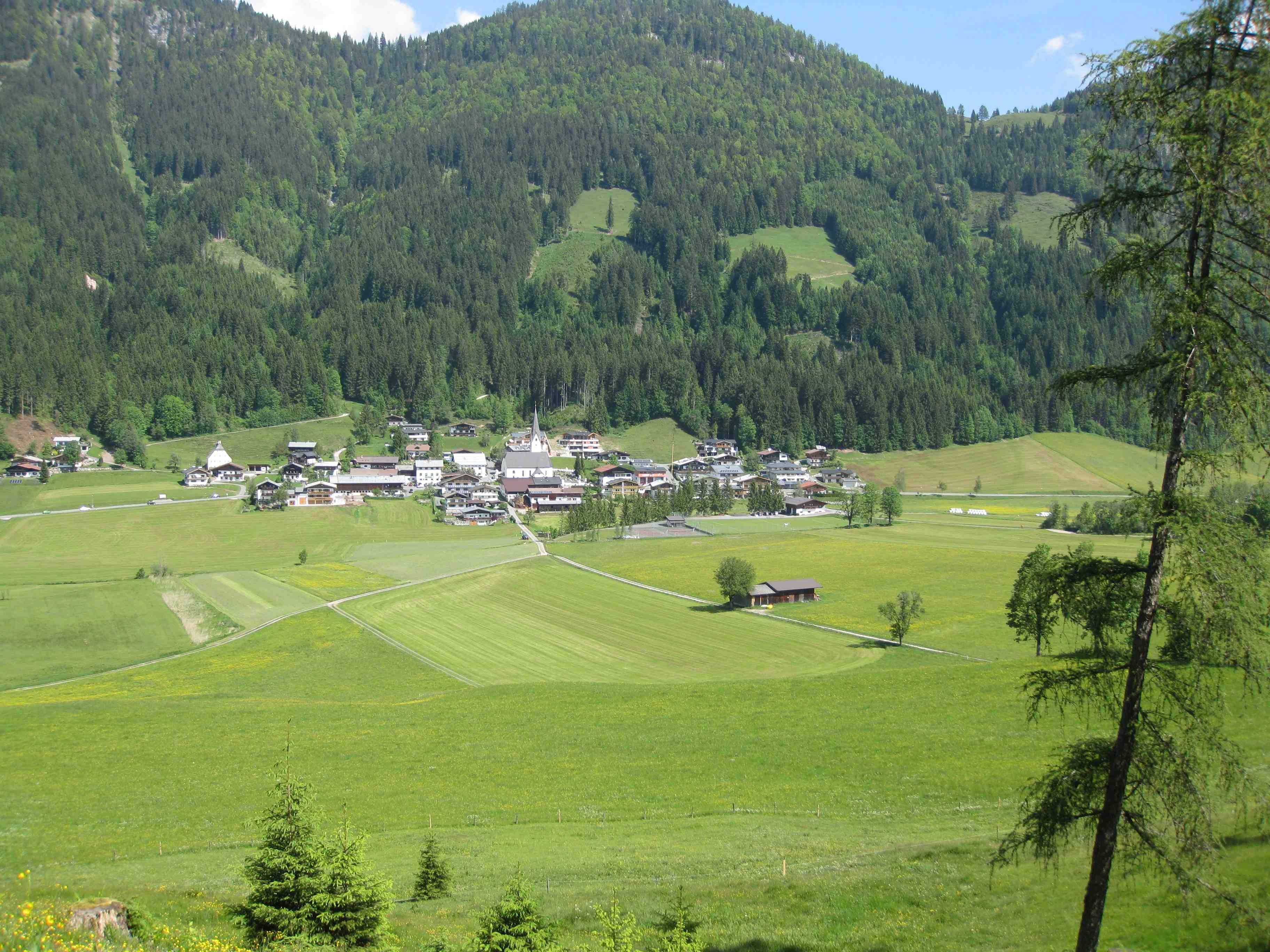
The Buchensteinwand is located in the middle of the Pillerseetal and is a very special lookout mountain! The 30 m high, fully accessible Jakobskreuz (St. James' Cross) is enthroned at the summit and offers unique panoramic views in all directions!

Tour information

  • Requirement: medium
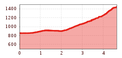
  • Length: 4.6 km
  • Duration: 4:10 h
  • Elevation uphill:620 hm
  • Elevation downhill:0 hm
Highest point1,456 m

Starting point

Village center St. Jakob in Haus

Finishing point

Village center St. Jakob in Haus
  • Fitness level 3 / 6
  • Technique 2 / 6

Best time of year

  • January
  • February
  • March
  • April
  • May
  • June
  • July
  • August
  • September
  • October
  • November
  • December

Trail condition

Asphalt, gravel, forest trail

Equipment

Breathable outdoor clothing, sturdy shoes, food (snack, drinks), sun protection (sunglasses, sunscreen & cap), rain protection, cash; guest card if bus is used.
Source: Kitzbüheler Alpen Management GmbH

Description

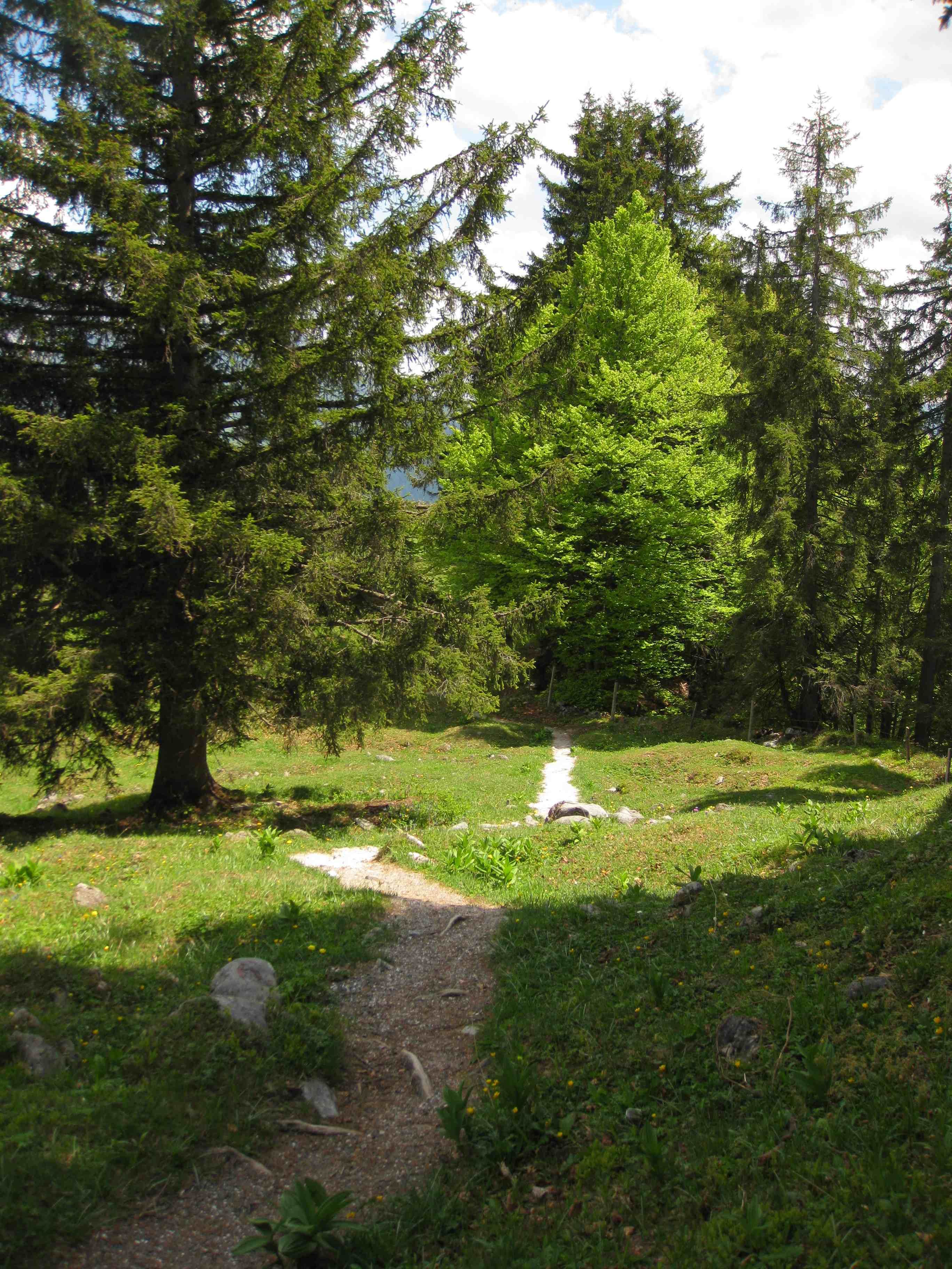
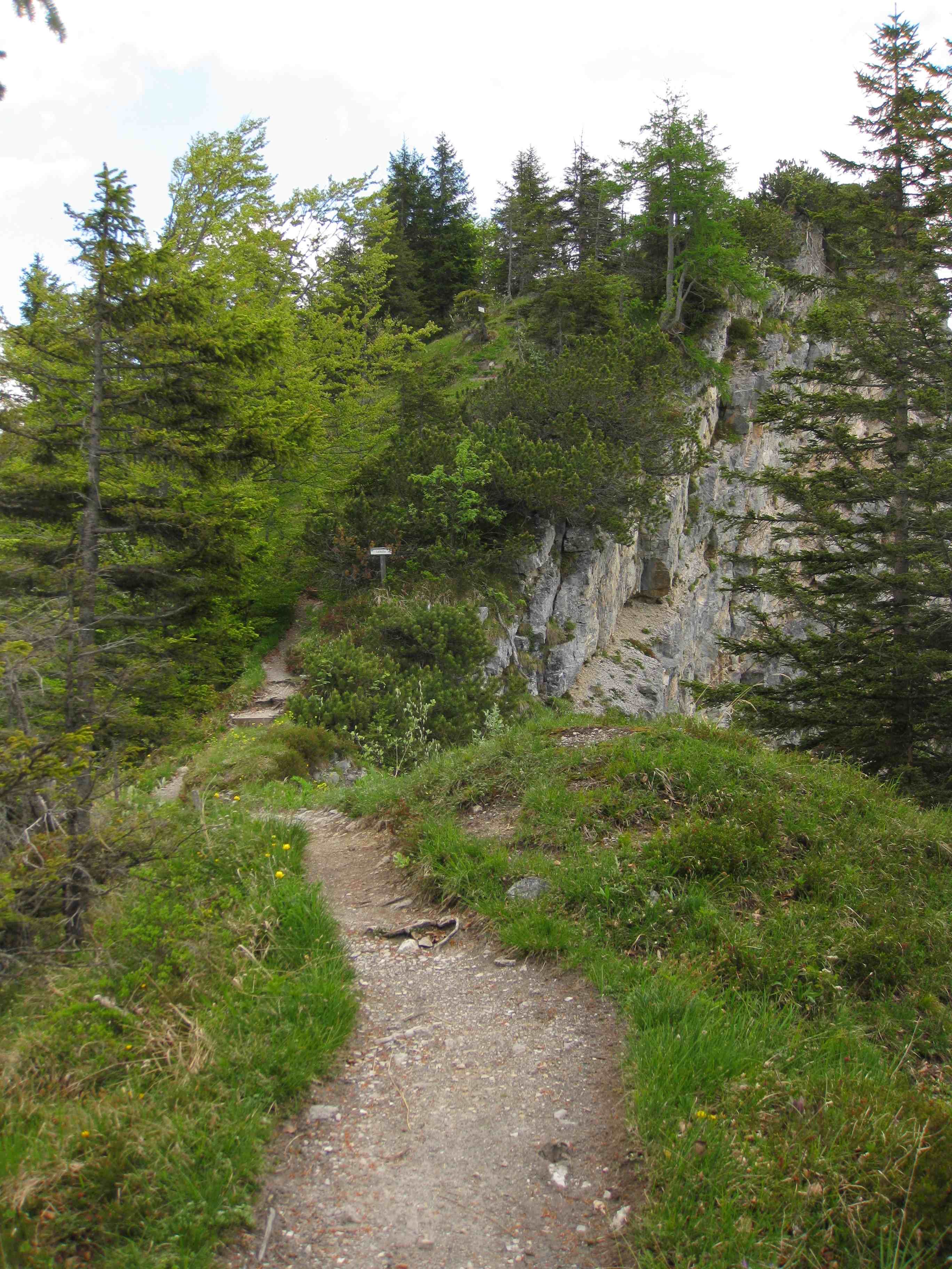
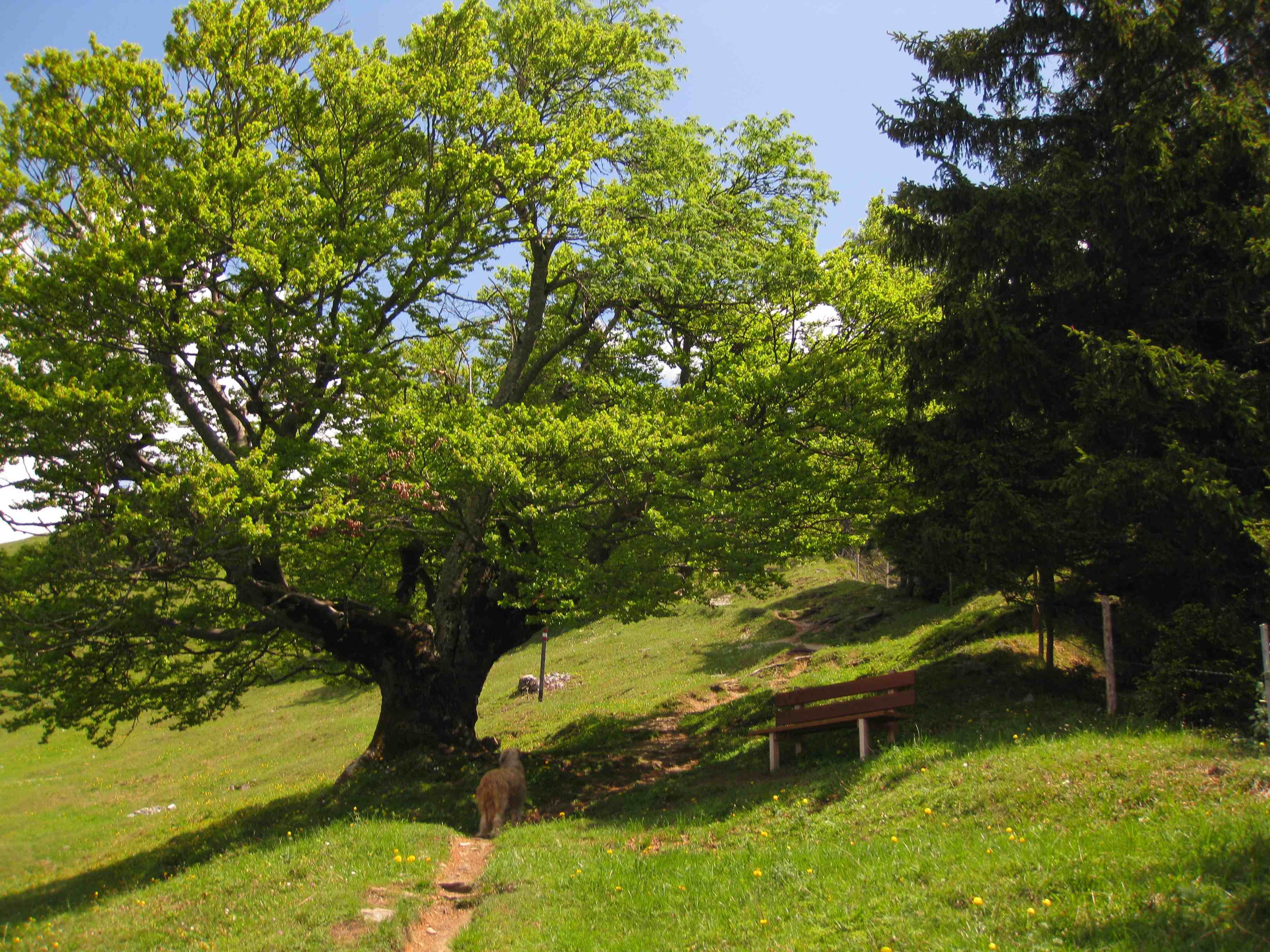
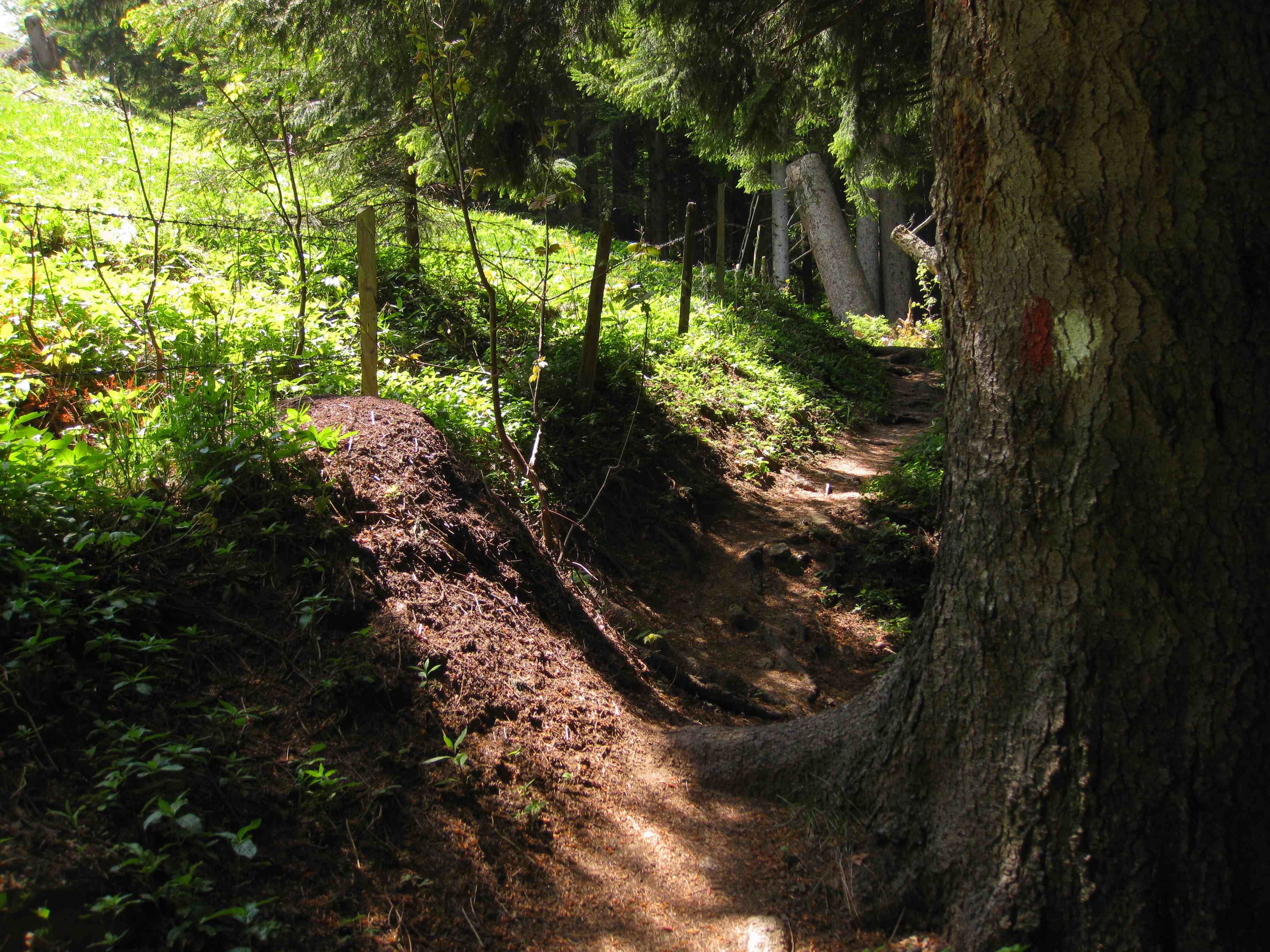
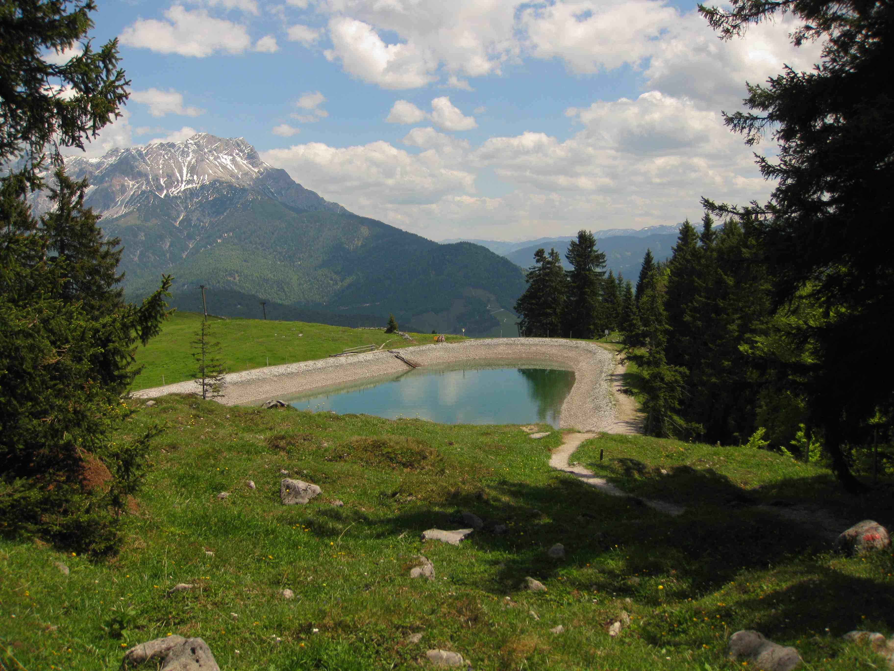
From the village centre along the main road in the direction of the Pillersee cable car. At Pension Elisabeth, turn right downhill, past the football pitch and continue along the Buchensteinwand circular trail towards Fieberbrunn. At the next junction, turn right along the circular trail to the signpost "Buchensteinwand - Jakobskreuz über Katzeneck". Following the signpost, the ascent leads over the Katzeneck. Cross the mountain meadow below the summit and follow the path to the Buchensteinwand - Jakobskreuz.
Return via the same route. Alternatives: via the Kröpflalm (1:15h walking time), the Kammbergalm (1:30h walking time) or take the chairlift down to the valley.


Nearby huts and mountain restaurants

Getting here

  • Arrival by public transport

    By bus: Bus connection from Ellmau / Kitzbühel / St. Johann i.T. / Lofer and within the Pillerseetal region. Bus stop St. Jakob i. H. primary schools. Bus free of charge with guest card.

  • Parking

    Car park village centre primary school

Weather

Today

light rain showers
24°C/11°C
90%29.8l10 km/h

Thu

cloudy
18°C/10°C
65%0.5l5 km/h

Fri

light rain showers
17°C/9°C
60%3l5 km/h
Go to weather forecast

More tours in the surrounding area

  • Koasa Trail Stage 3

    Difficulty:medium
    Length:19.9 kmDuration:7:10 hElevation uphill:730 m
  • Koasa Trail Stage 5

    Difficulty:medium
    Length:14.0 kmDuration:6:45 hElevation uphill:935 m
  • Kaiserkrone - stage 5

    Difficulty:medium
    Length:10.8 kmDuration:5:15 hElevation uphill:840 m
  • Kaiserkrone - stage 4

    Difficulty:medium
    Length:16.1 kmDuration:6:30 hElevation uphill:640 m
  • Koasa Trail Stage 1

    Difficulty:medium
    Length:16.9 kmDuration:6:45 hElevation uphill:937 m
  • Koasa Trail Stage 4

    Difficulty:medium
    Length:20.6 kmDuration:7:35 hElevation uphill:923 m
  • The Wiegalm

    Difficulty:medium
    Length:10.5 kmDuration:4:45 hElevation uphill:680 m
  • Angerer Alm

    Difficulty:medium
    Length:5.7 kmDuration:2:45 hElevation uphill:652 m
  • Koasa Trail Stage 2

    Difficulty:medium
    Length:11.8 kmDuration:7:15 hElevation uphill:1,078 m
  • Alpine Outdoor Gallery

    Difficulty:easy
    Length:6.7 kmDuration:2:00 hElevation uphill:117 m
  • Eifersbacher Wasserfall

    Difficulty:medium
    Length:5.9 kmDuration:2:30 hElevation uphill:241 m
  • Schafsiedel

    Difficulty:medium
    Length:15.6 kmDuration:7:00 hElevation uphill:1,280 m
  • Bichlachrunde

    Difficulty:easy
    Length:10.5 kmDuration:3:30 hElevation uphill:295 m
Newsletter

The mountain is calling? So does our newsletter!

In our monthly newsletter we reveal the best holiday tips for Tyrol.