Arrival by public transport
Line 210, 220, Bus stop: Ried i. O. Gemeindeamt,
walking distance to the tourist information office: 200 m
A scenic hike from Ried through meadows and forests to the Stafföler Alm (no service) with beautiful views of the Upper Inn Valley.
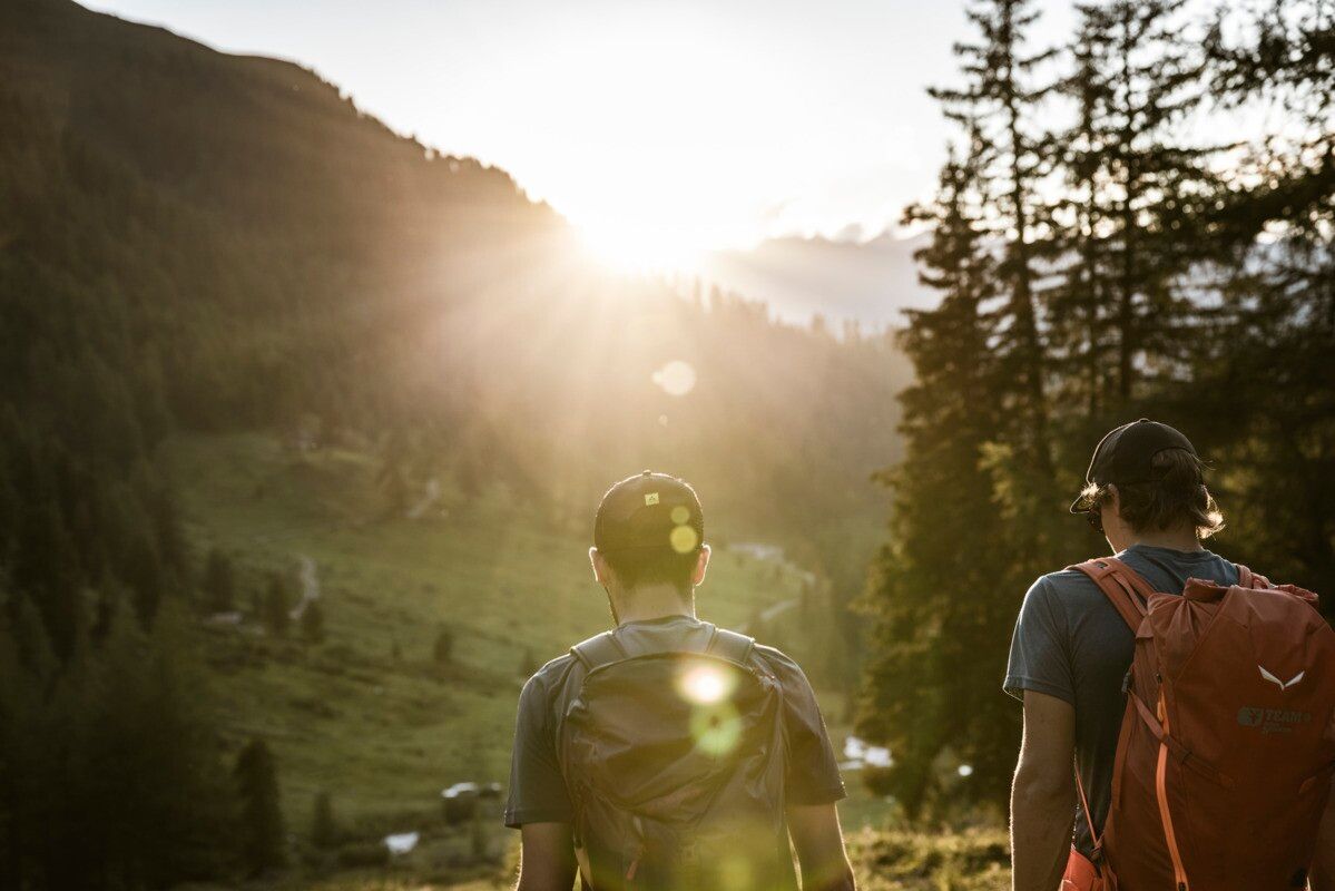

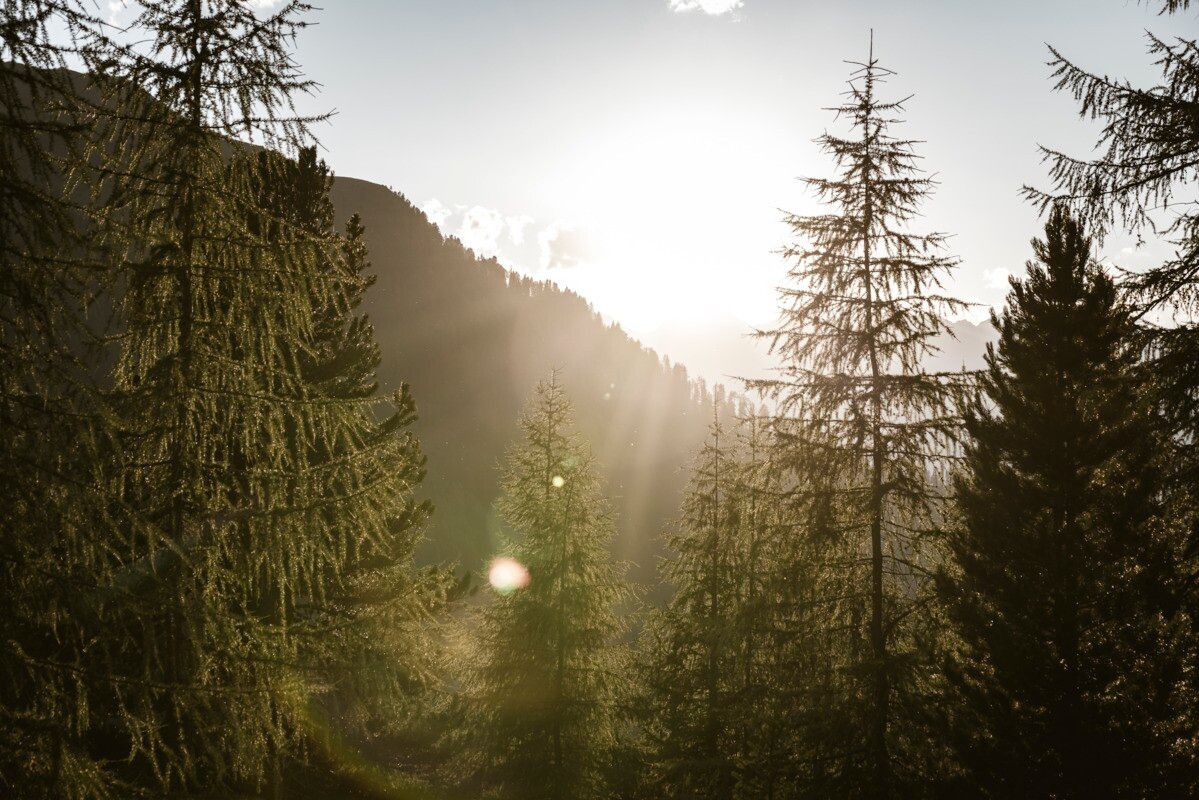
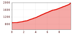
The hike starts at the tourist office in Ried. At the southern edge of the village, a paved road branches off to the left and leads gently uphill across the Langwiese, passing lush fields and meadows as well as a single farm. After crossing the Christiner Bach, the route continues along a paved road to the hamlet of Freitzberg. From there, a forest road leads steadily uphill through shaded woodland to the Stafföler Alm, which is not serviced and is located at the tree line. At the top, you are rewarded with beautiful views of the Upper Inn Valley and the Serfaus-Fiss-Ladis plateau.
Line 210, 220, Bus stop: Ried i. O. Gemeindeamt,
walking distance to the tourist information office: 200 m
Parking area at the lake, free of charge
.jpg")
.jpg")
.jpg")

.jpg")
.jpg")
.jpg")
.jpg")

.jpg")
")

.jpg")
.jpg")

.jpg")
.jpg")
.jpg")
