The Hohe Munde captivates as a striking double summit with a demanding ascent that leads from cool, shaded forests across steep dwarf pine slopes and up into airy heights, combining alpine challenge with vast panoramas and a rewarding stop for refreshments in the Gaistal valley.


Forest roads, steep gravel and rocky trails, as well as alpine, secured sections.
All current information about the trail closures in the Region Seefeld can be found here.
Have you been out and about in the Region and discovered a spot that we should rework or repair? Fill out the form "Report a danger zone" and let us know where work is needed.
Sturdy hiking shoes, functional clothing, a backpack, a lot of water, snacks, climbing equipment, alpine experience, and sure-footedness are necessary for this tour!
Also recommended: a hiking map or GPS, a first aid kit, sun protection, hiking poles, and an emergency blanket.
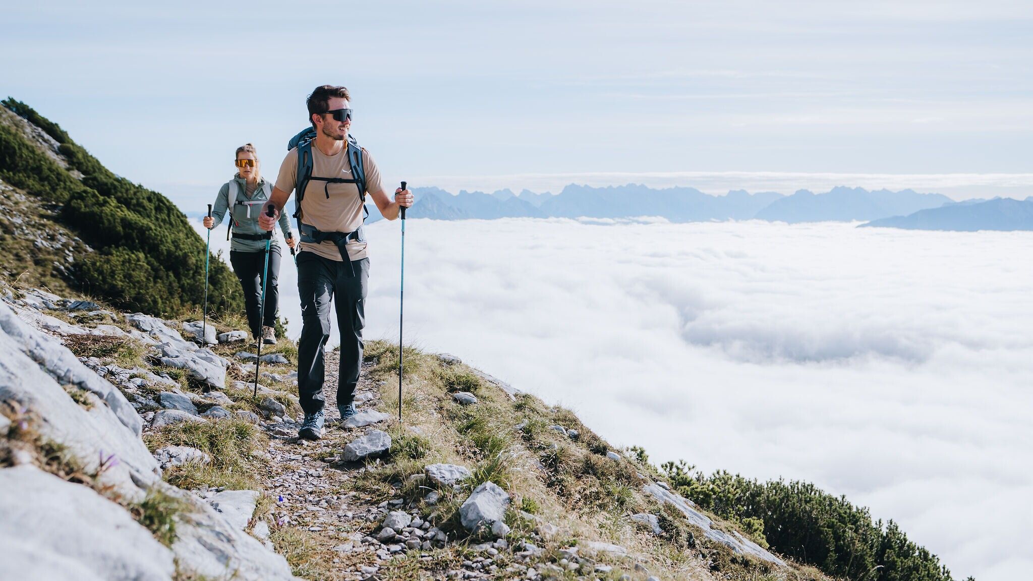
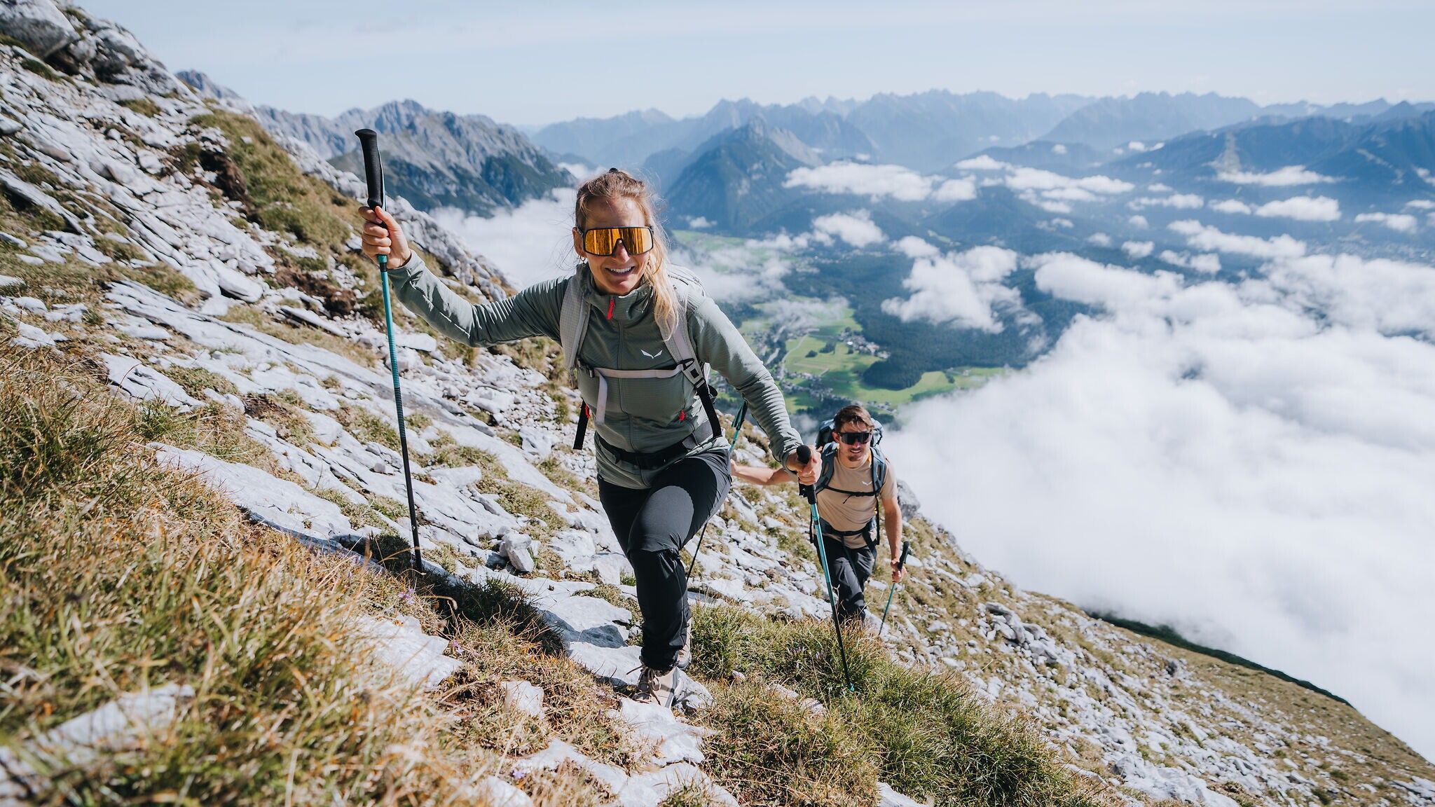
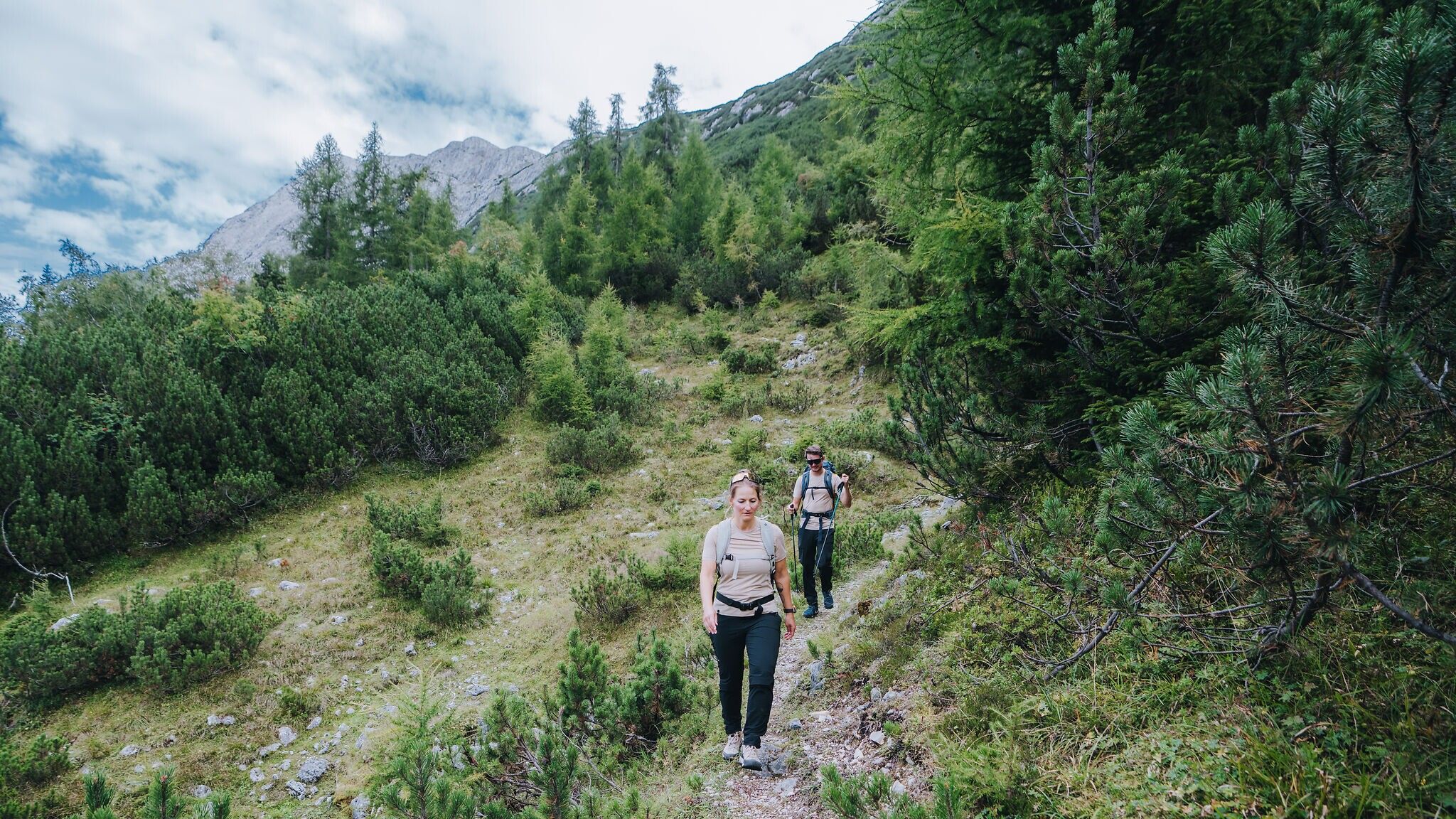
A mountain that touches every heart in the region is the Hohe Munde. Also known as the “Grande Dame of the Alps”, this distinctive double peak shapes the Tyrolean Oberland like no other. Visible from almost everywhere, its unmistakable silhouette and sheer presence inspire awe even from the valley below. To hike this mountain is a true privilege – and undoubtedly a major challenge. What begins in cool forest soon climbs steeply through dwarf pine, before tackling the final ascent through the scrub to the eastern summit of the Hohe Munde. After crossing over to the western summit, a short section secured by fixed ropes leads to the Niedere Munde, followed by the descent into the alpine pasture paradise of the Gaistal, where a well-earned culinary reward awaits.
How exactly this reward is earned is described in the route details below:
The hike starts at Salzbach car park (P4 – accessible by car and bus), already at the foot of the mountain. After a short walk south into the Gaistal, turn immediately left, descending briefly towards the first intermediate destination, Rauthütte. After crossing the Leutascher Ache, the forest road initially winds southwest, then continues steadily eastwards through the woods. Enjoy the cool shade of the forest until the road is crossed by a narrow hiking trail. Turn right onto this trail and follow it uphill until it rejoins a forest road, which leads directly to the Rauthütte – an ideal place for a first break or at least a water stop.
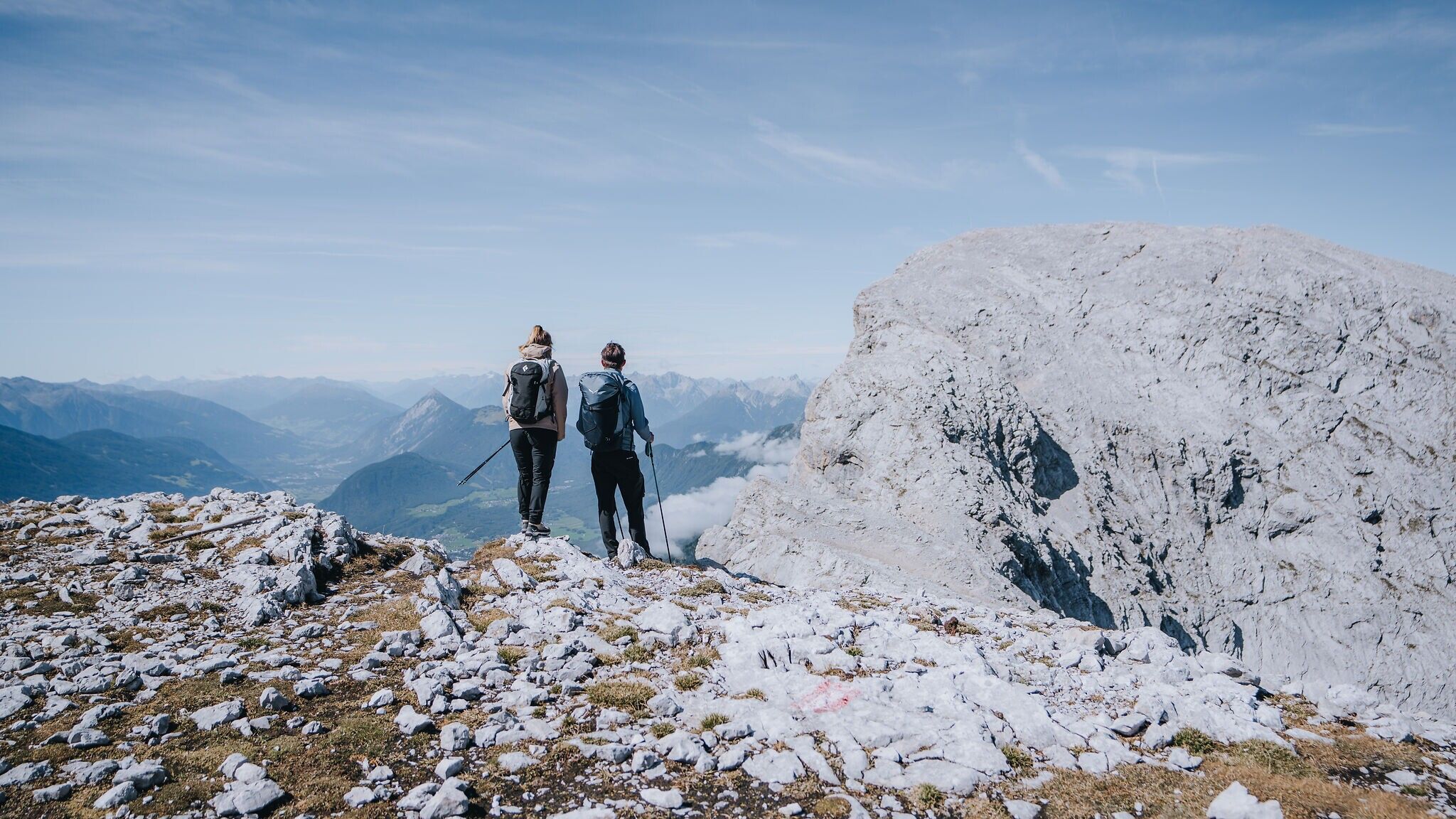
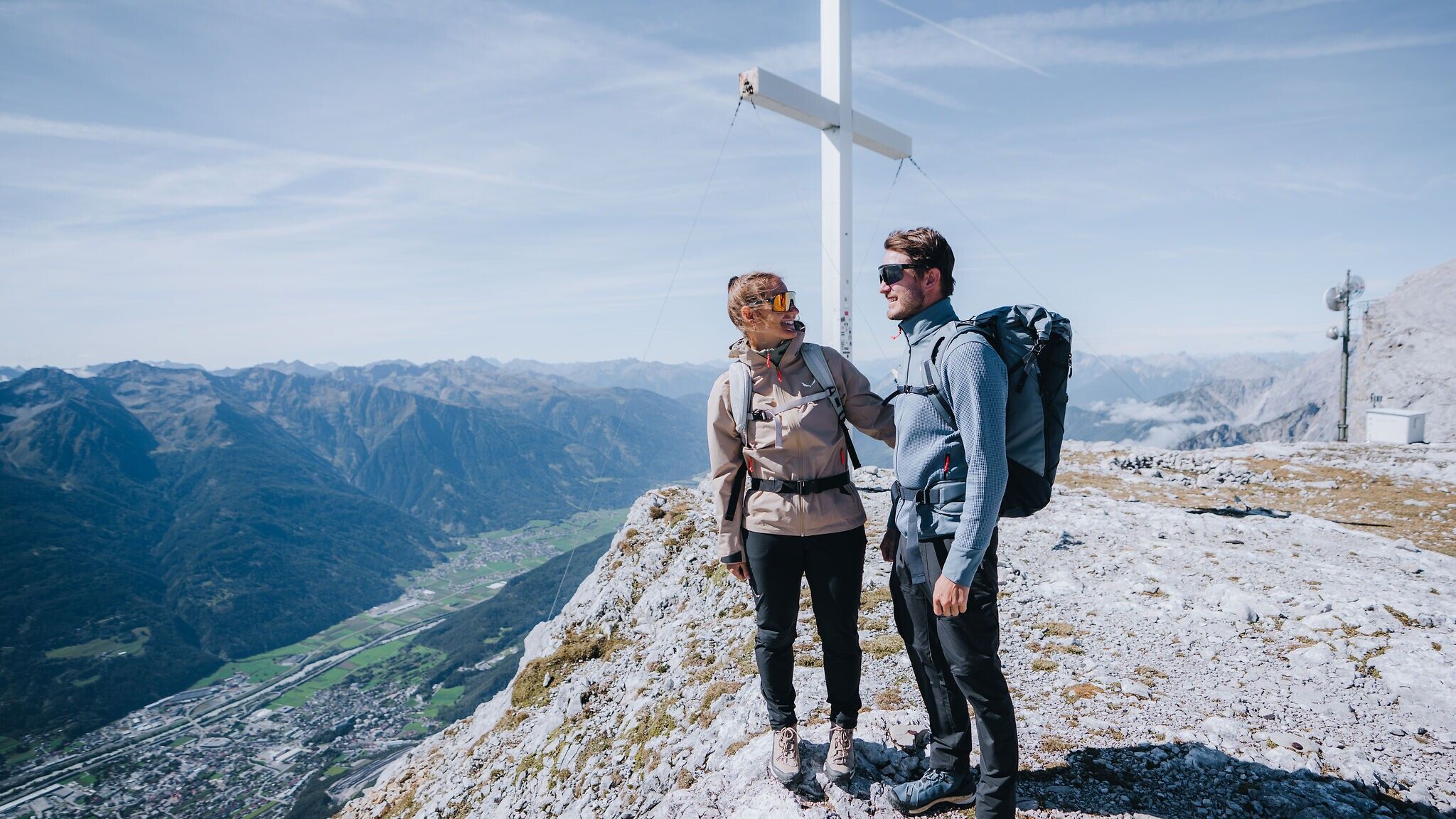
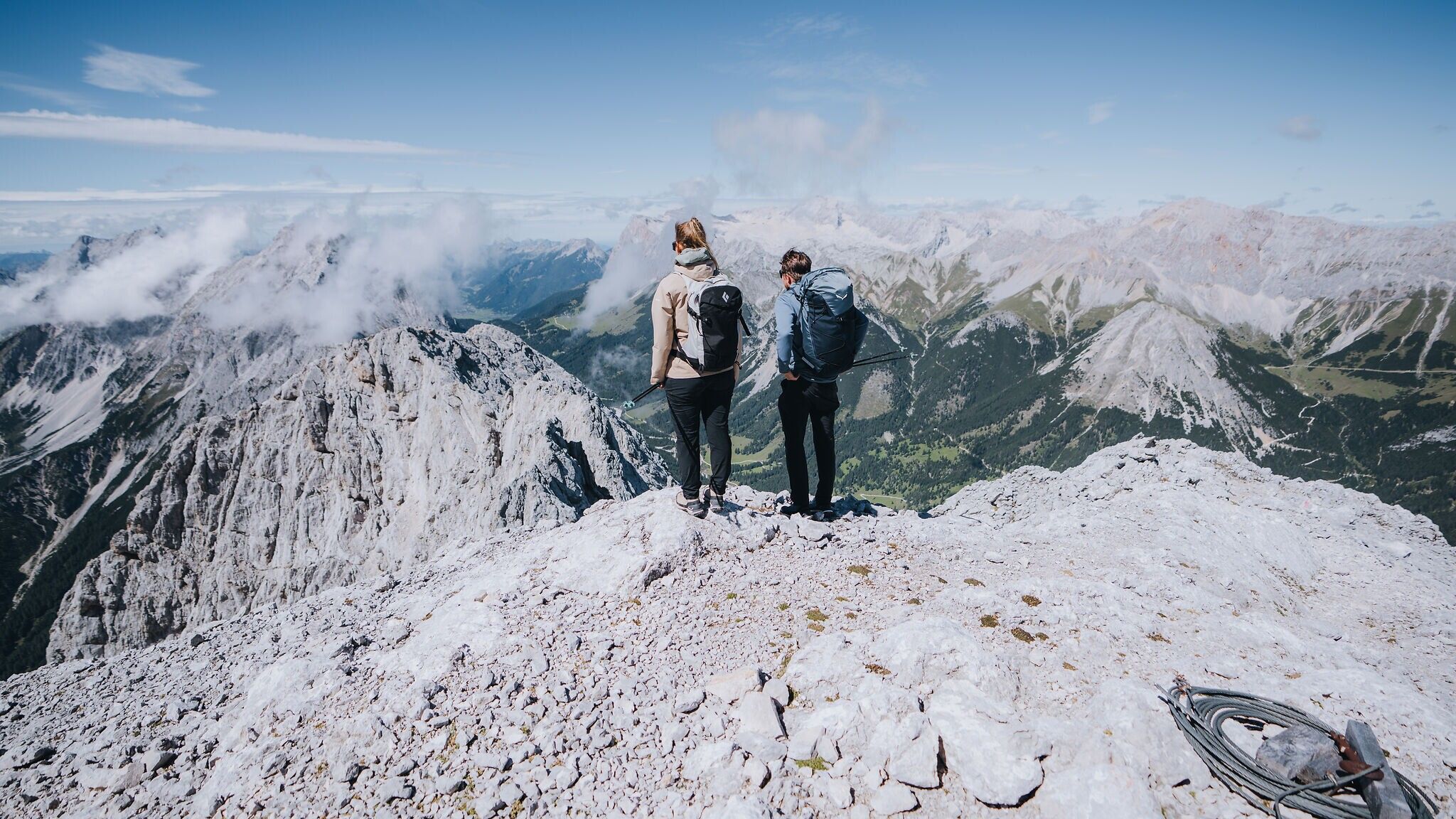
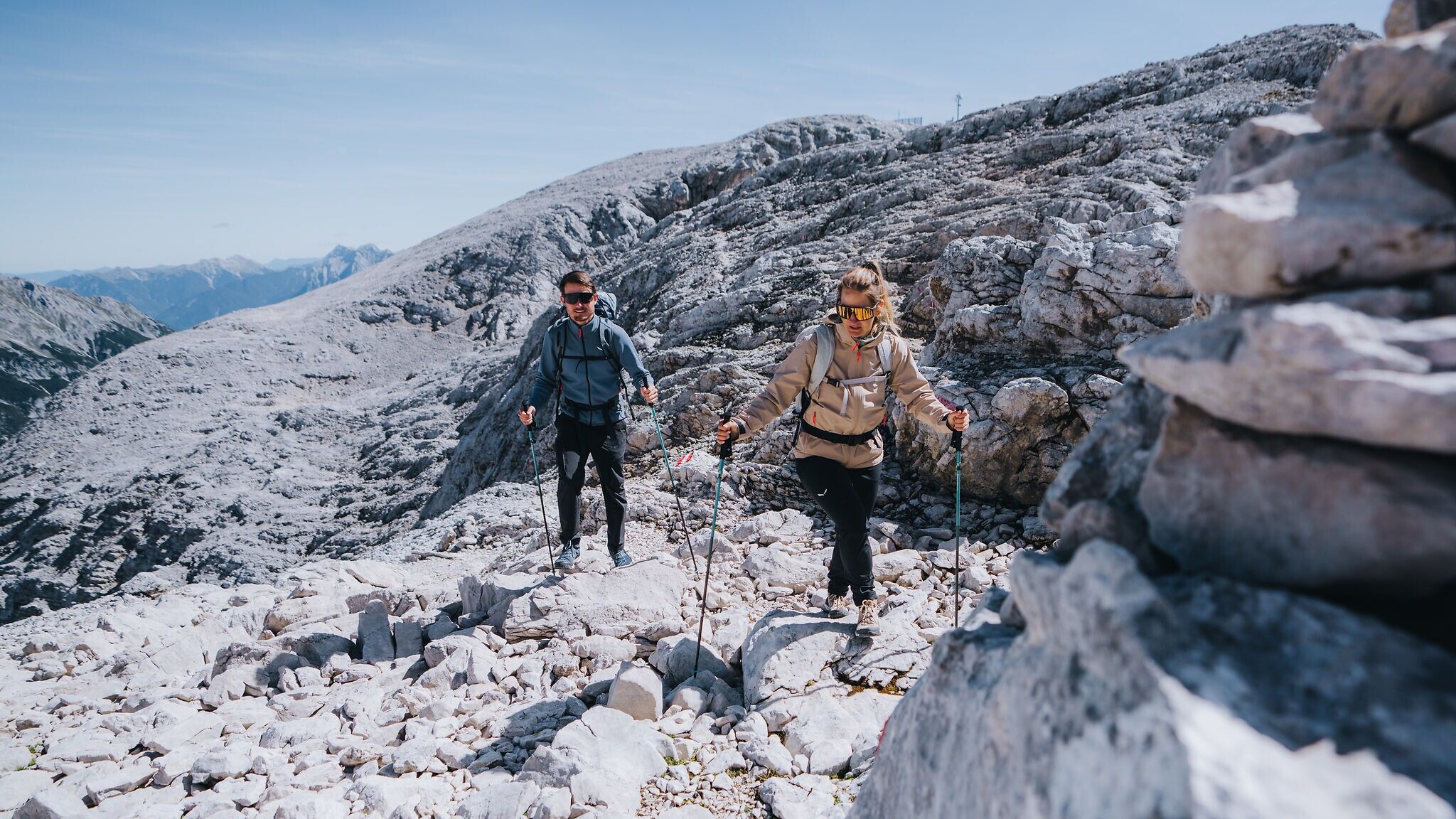
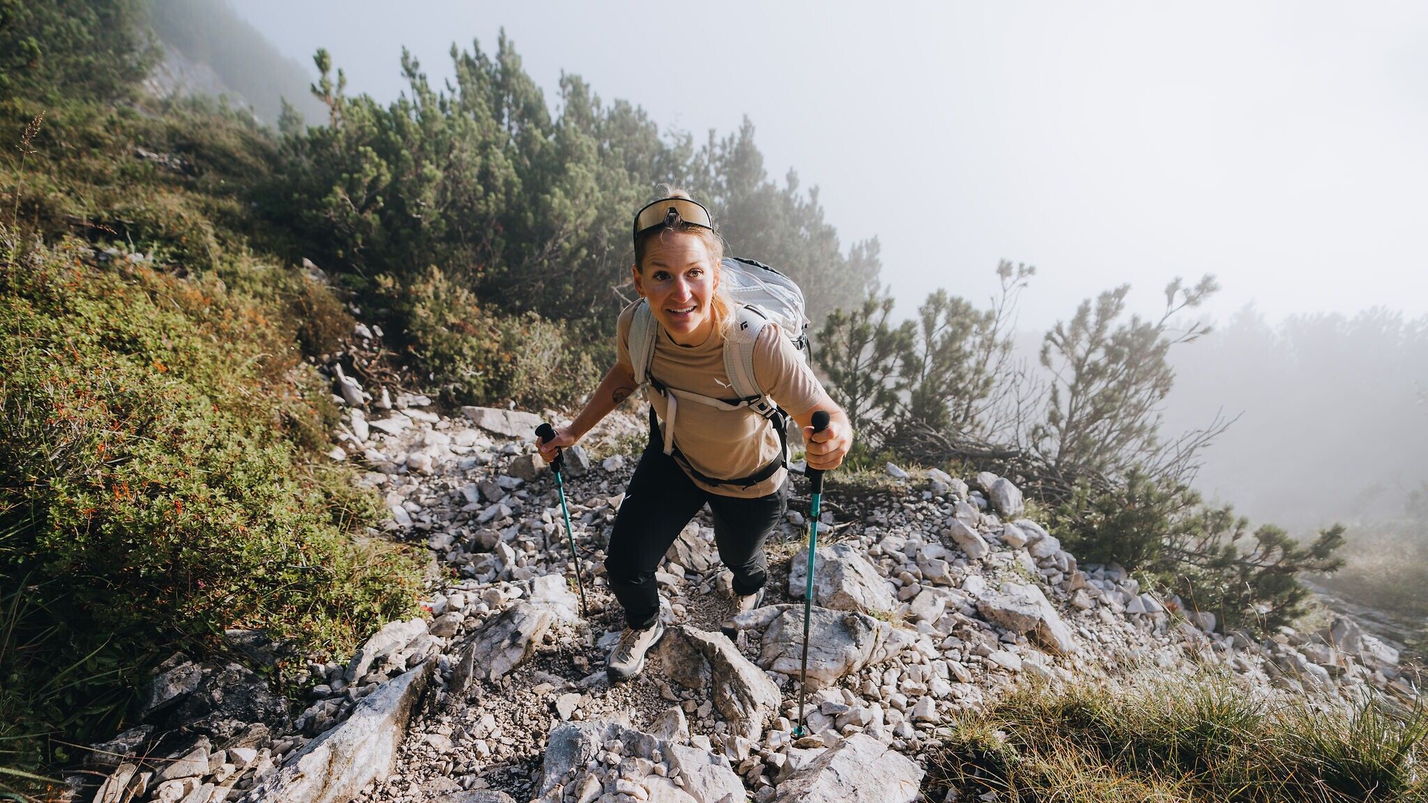
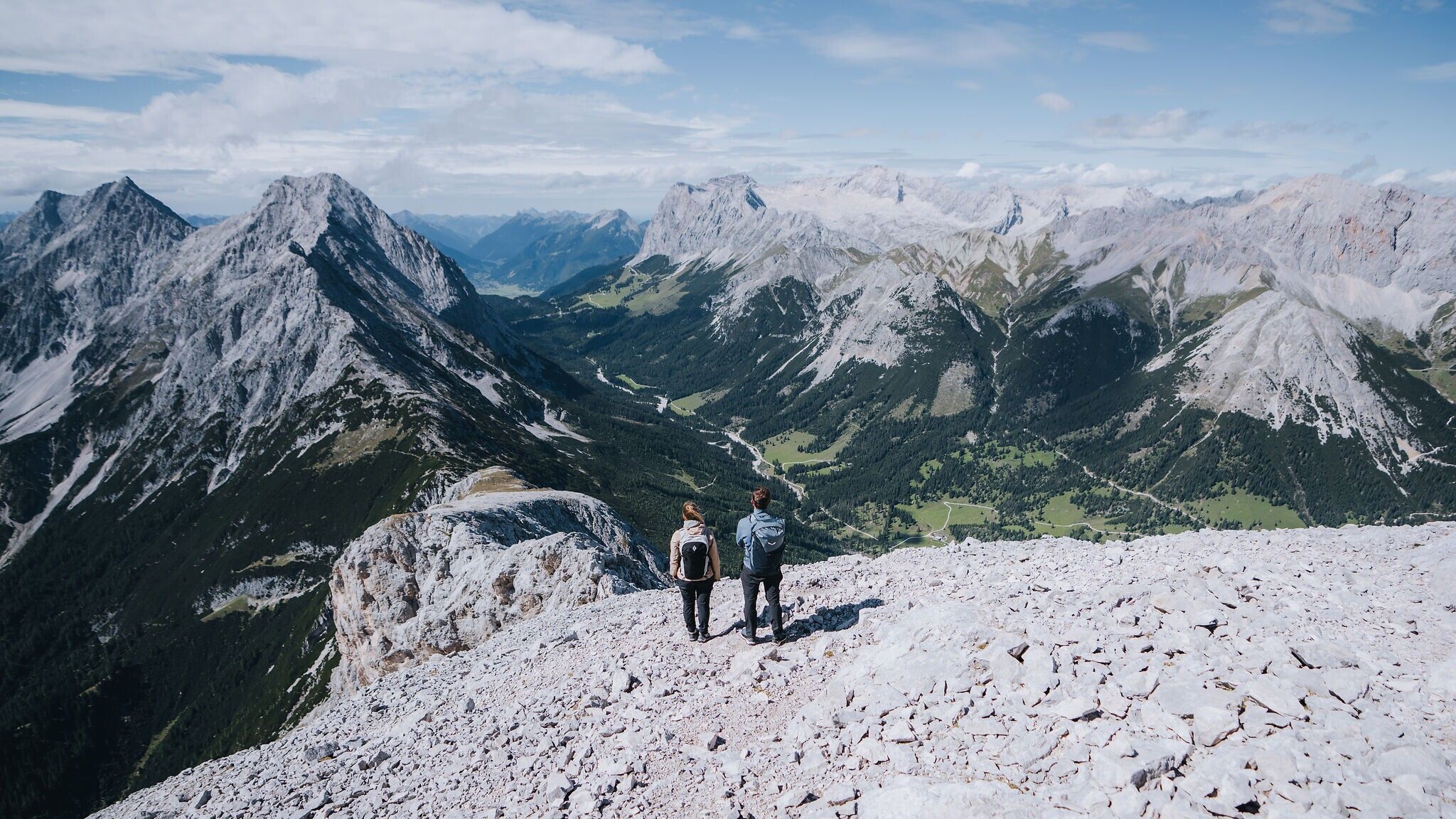
Now begins the most demanding part of the hike. The steep ascent through dwarf pines keeps the eastern summit of the Hohe Munde constantly in view. This trail is very steep and rocky and can become extremely hot in summer, making sufficient water and sun protection essential. An early start is strongly recommended. Step by step, you approach the rounded half of the twin peak until reaching the first summit cross of the eastern summit. Here, you stand on a plateau that is unusually spacious for a mountain summit, offering magnificent panoramic views in all directions. The Zugspitze, Dreitorspitze, much of the Karwendel range, the Inn Valley and far more unfold before you – simply breathtaking. Anyone whose thighs are not yet protesting will inevitably feel a surge of happiness.
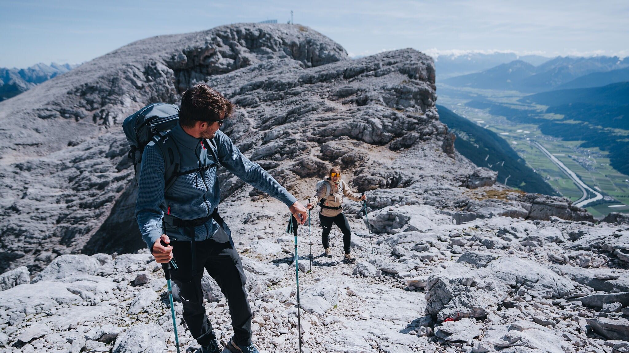
After regaining your composure, descend a few metres in elevation before climbing again to the second summit cross on the western peak. This summit is usually quieter, and thanks to a slightly higher elevation, the views extend even further into the distance.
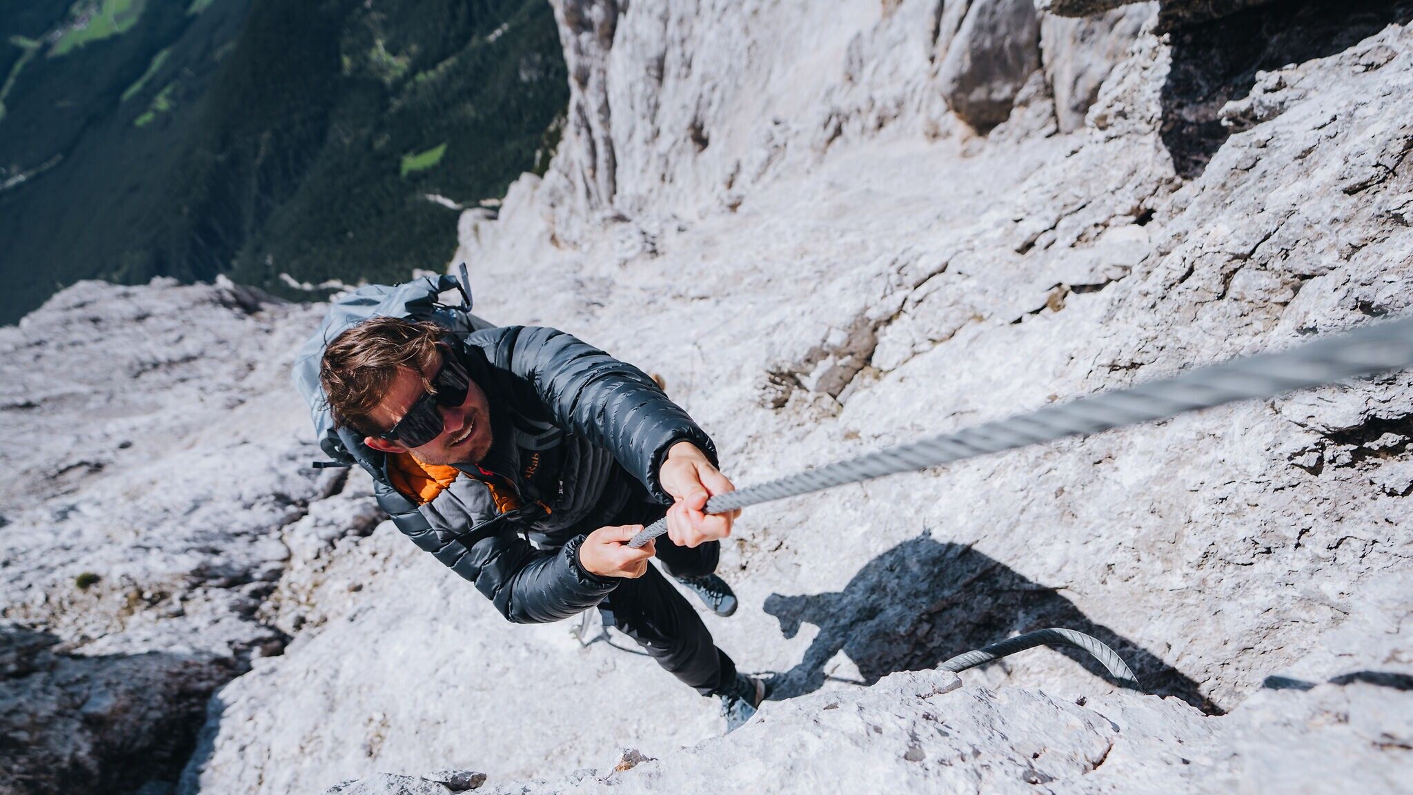
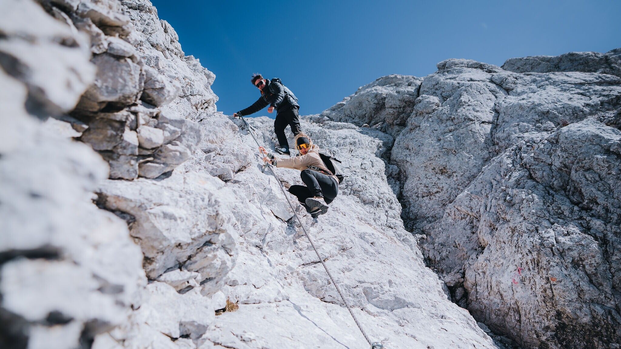
The long descent now begins – but this does not mean the adventure is over. Quite the opposite. One of the most challenging sections of the tour still lies ahead. Partially secured with metal staples and steel cables, the route descends to a point with a slight overhang, where using a via ferrata set is recommended. From this basin, the trail climbs again for around 100 vertical metres before descending once more over smooth rock and steel cables to the Niedere Munde. Crossing a grassy ridge and weaving through dwarf pines, you reach the third and final summit cross of the tour before turning right, heading north and descending back towards the Gaistal.
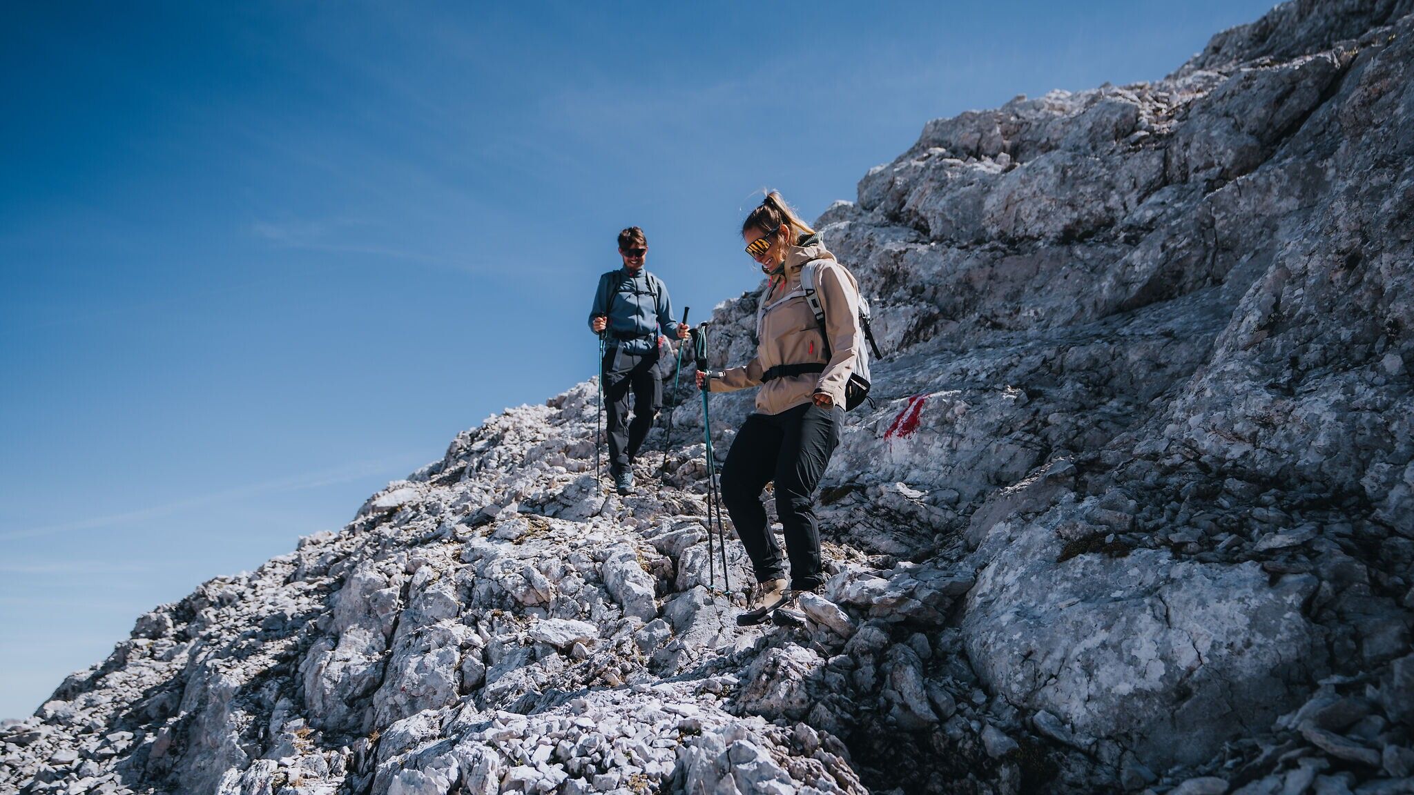
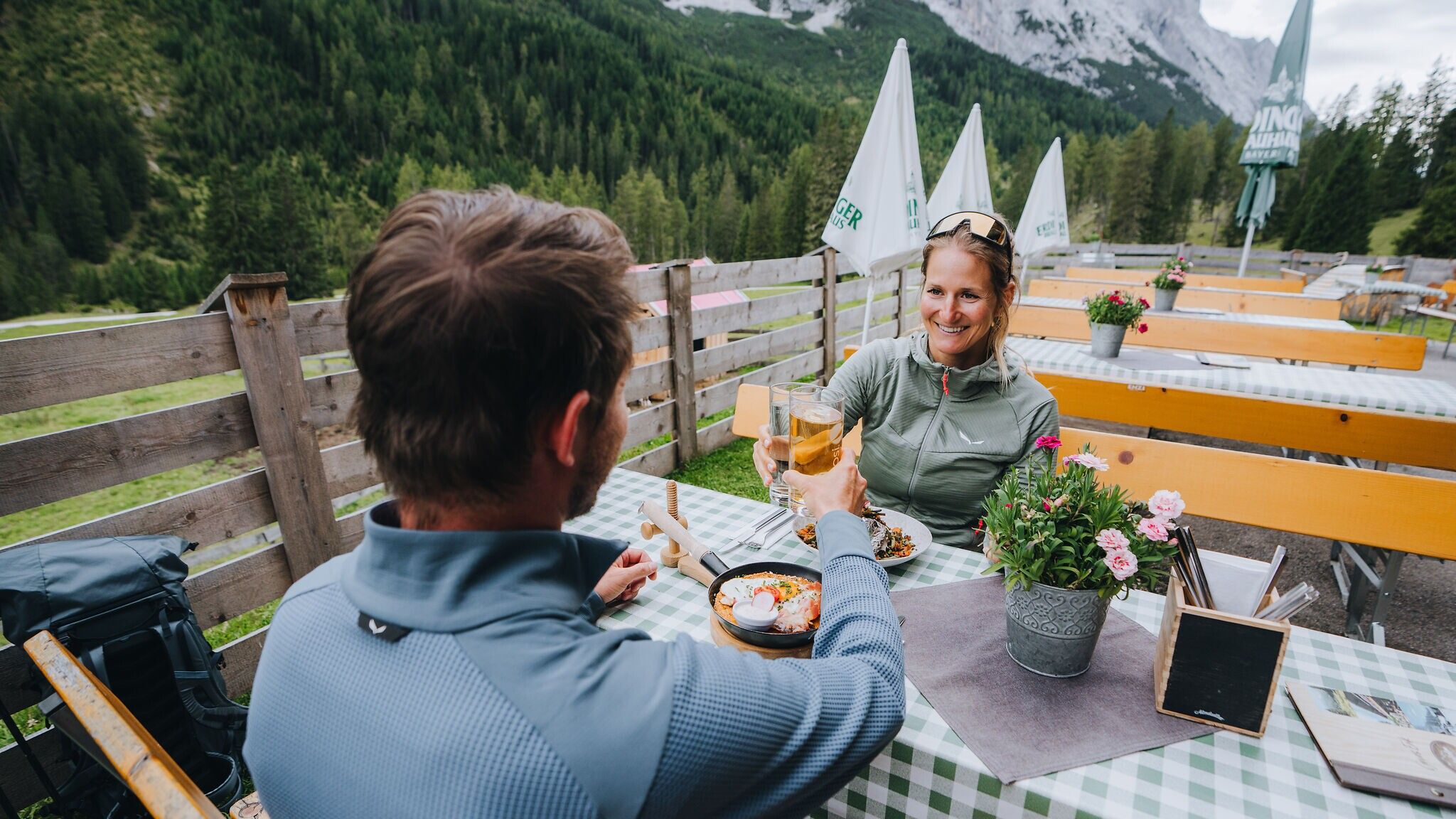
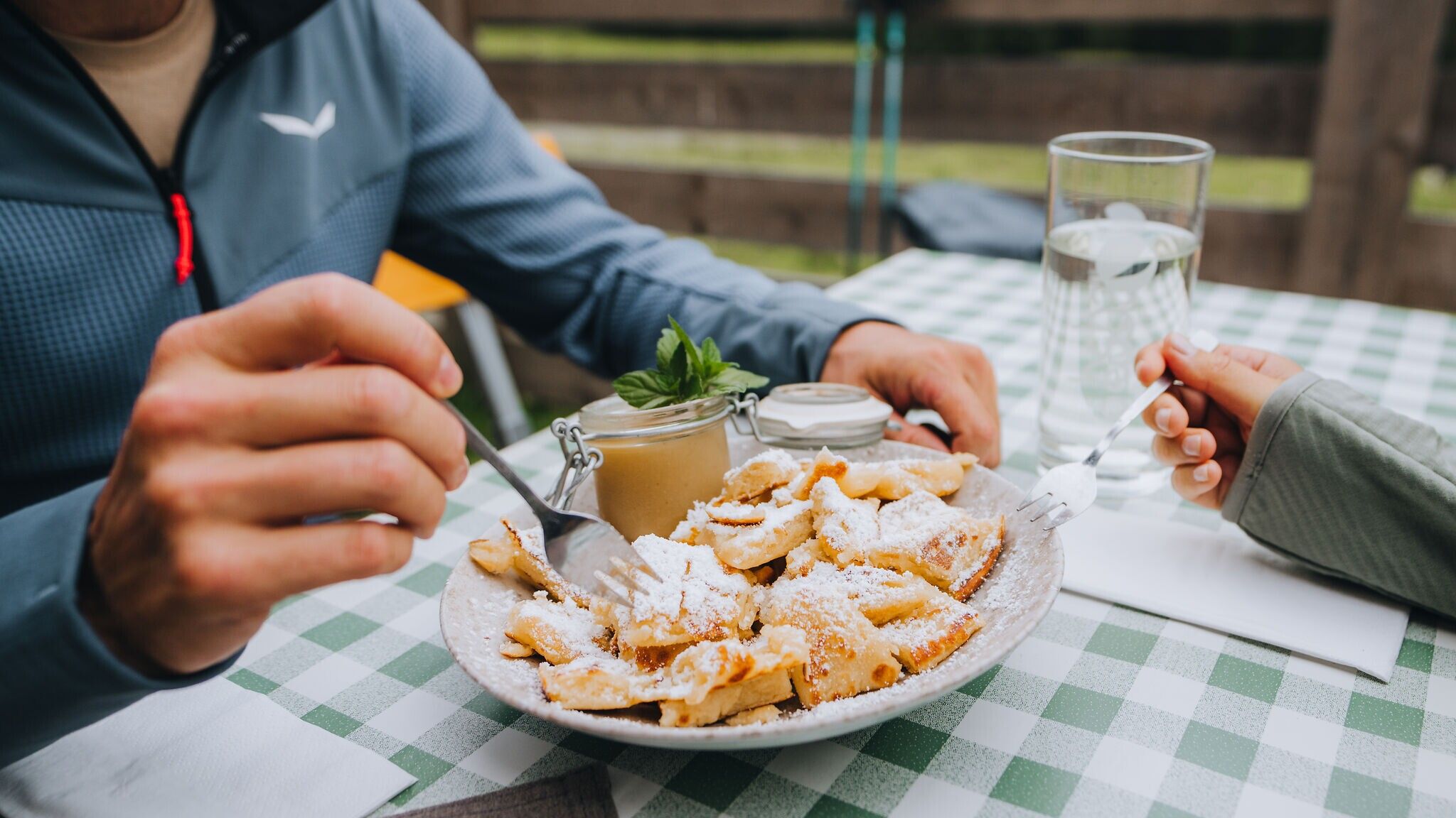
Follow the path downhill, guided by ground markings and signposts, until the Leutascher Ache can be seen and heard. Once you reach the river, cross the bridge and the most demanding part of the tour is behind you. From here, a relaxed walk through the beautiful Gaistal leads back to the car park. Along the way, the Tillfussalm and Gaistalalm await with well-deserved culinary rewards after your alpine adventure. A final treat for tired feet can be found right at the starting point, where a Kneipp facility offers welcome relaxation.
Go to stage 3 of the Big 3 Multi-day Hike
More information about the Big 3 Multi-day Hike
Take the bus to Leutasch and get off at the 'Gaistal/Salzbach' bus stop.
All real-time connections can be found in the route planner.
Parking lots P3, P4, and P5 'Salzbach' in Gaistal - Leutasch.
You can find all other car parks in Leutasch here.


.jpg")


.jpg")

