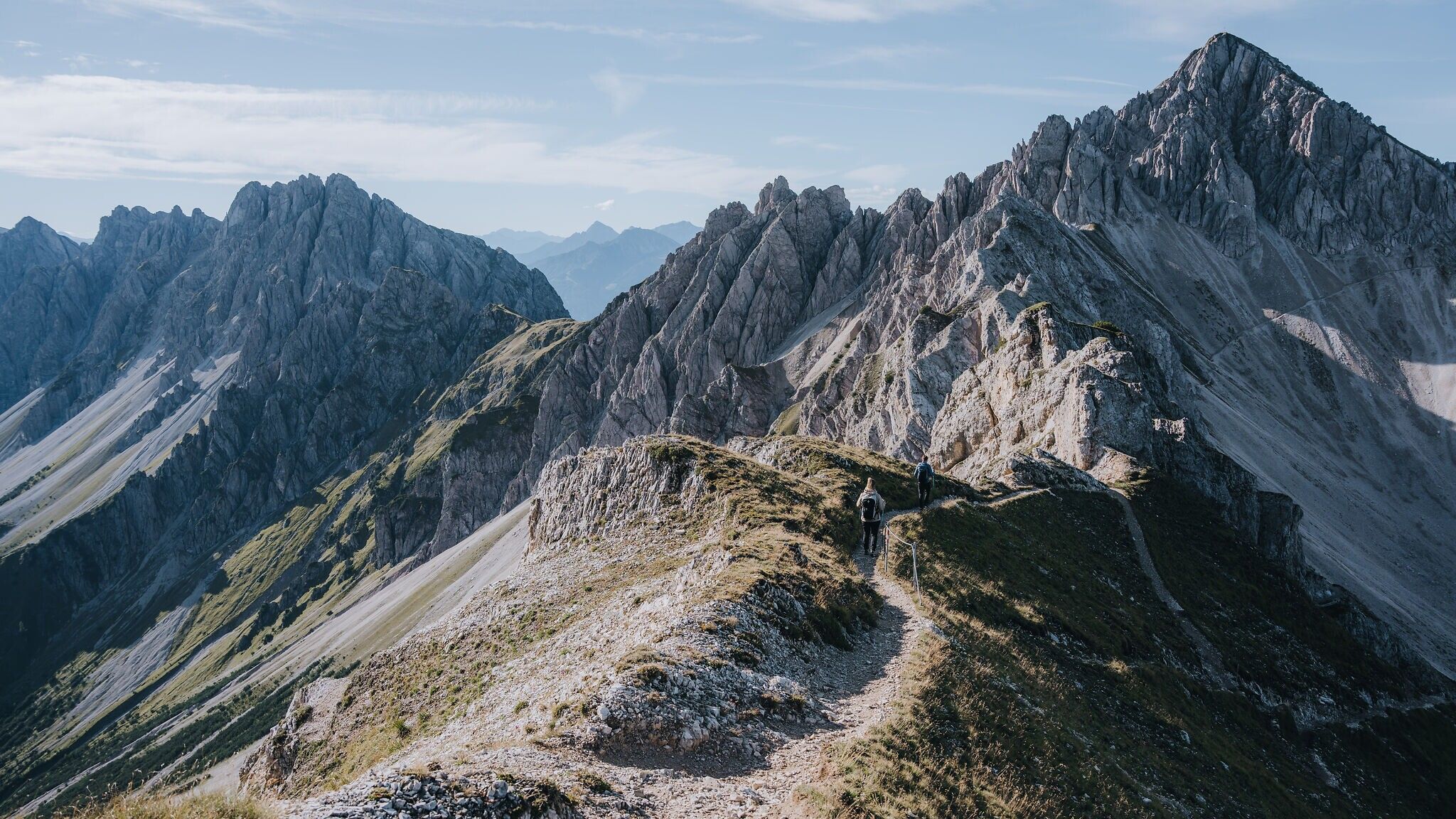
The Reither Spitze is considered a panoramic Karwendel classic, featuring a varied ascent, a legendary stop at the Nördlinger Hütte, an impressive ridge traverse to the Seefelder Spitze and true “king’s tour” character for strong, pleasure-oriented hikers.
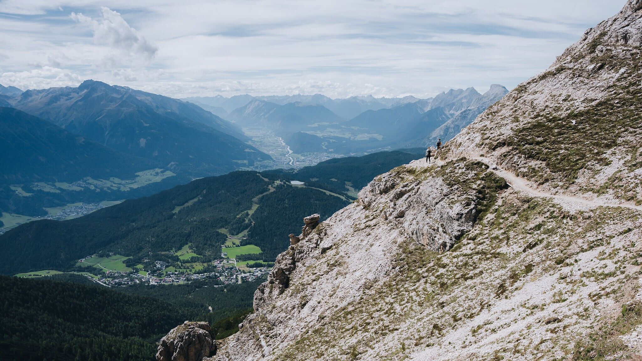


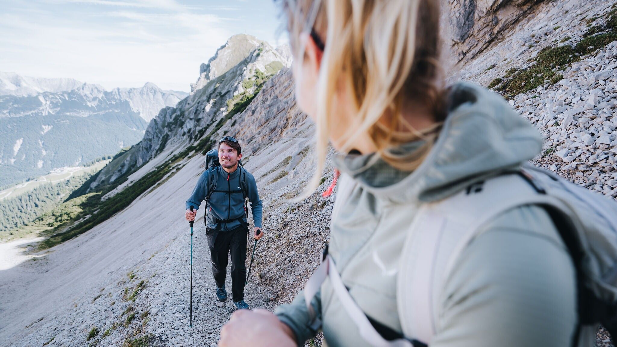


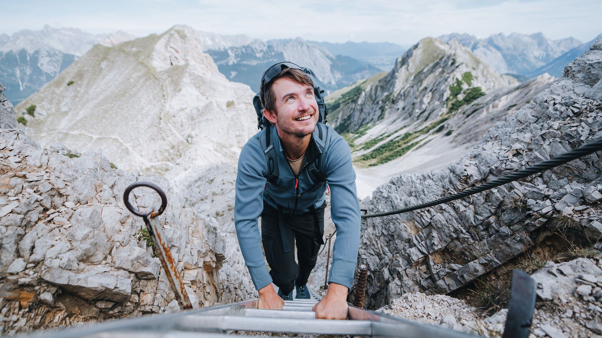


Forest road, alpine mountain trail, dwarf pine path, rocky trail, narrow ridge path with partially exposed sections.
All current information about the trail closures in the Region Seefeld can be found here.
Have you been out and about in the Region and discovered a spot that we should rework or repair? Fill out the form "Report a danger zone" and let us know where work is needed.
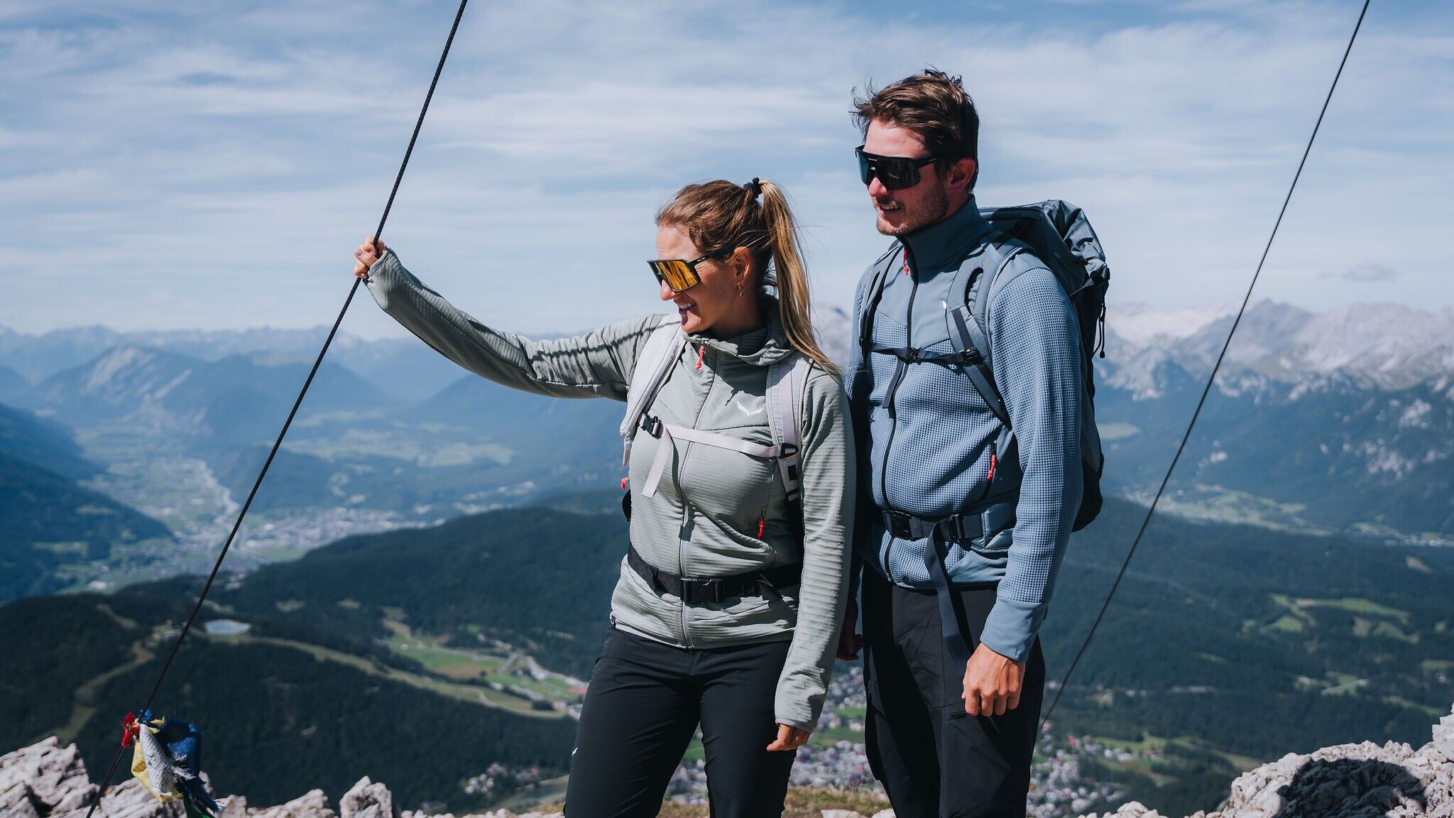
Sturdy hiking shoes, functional clothing, a backpack, water, snacks, alpine experience, and sure-footedness are necessary for this tour!
Also recommended: a hiking map or GPS, a first aid kit, sun protection, hiking poles, and an emergency blanket.
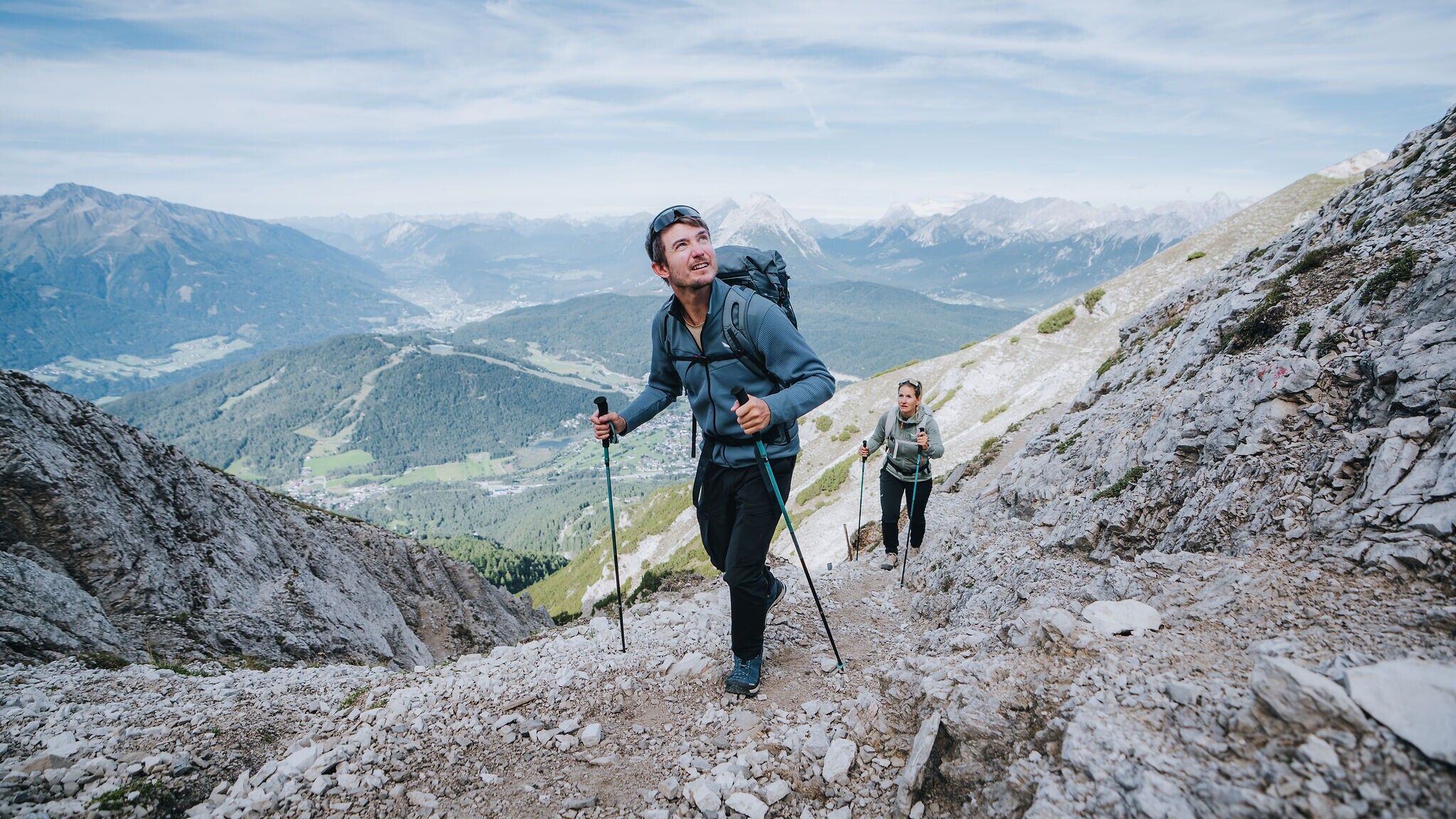
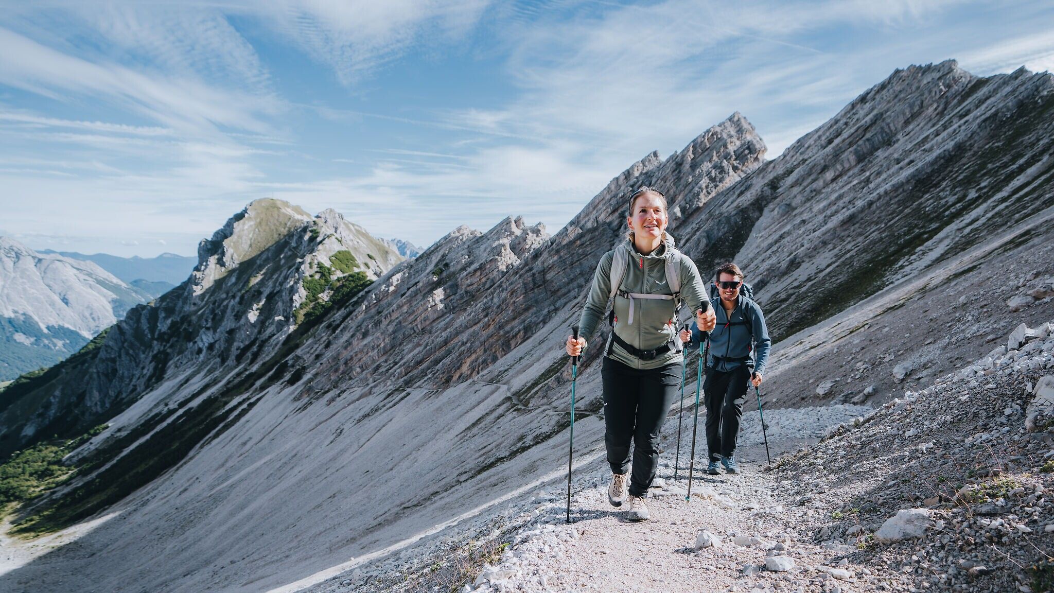
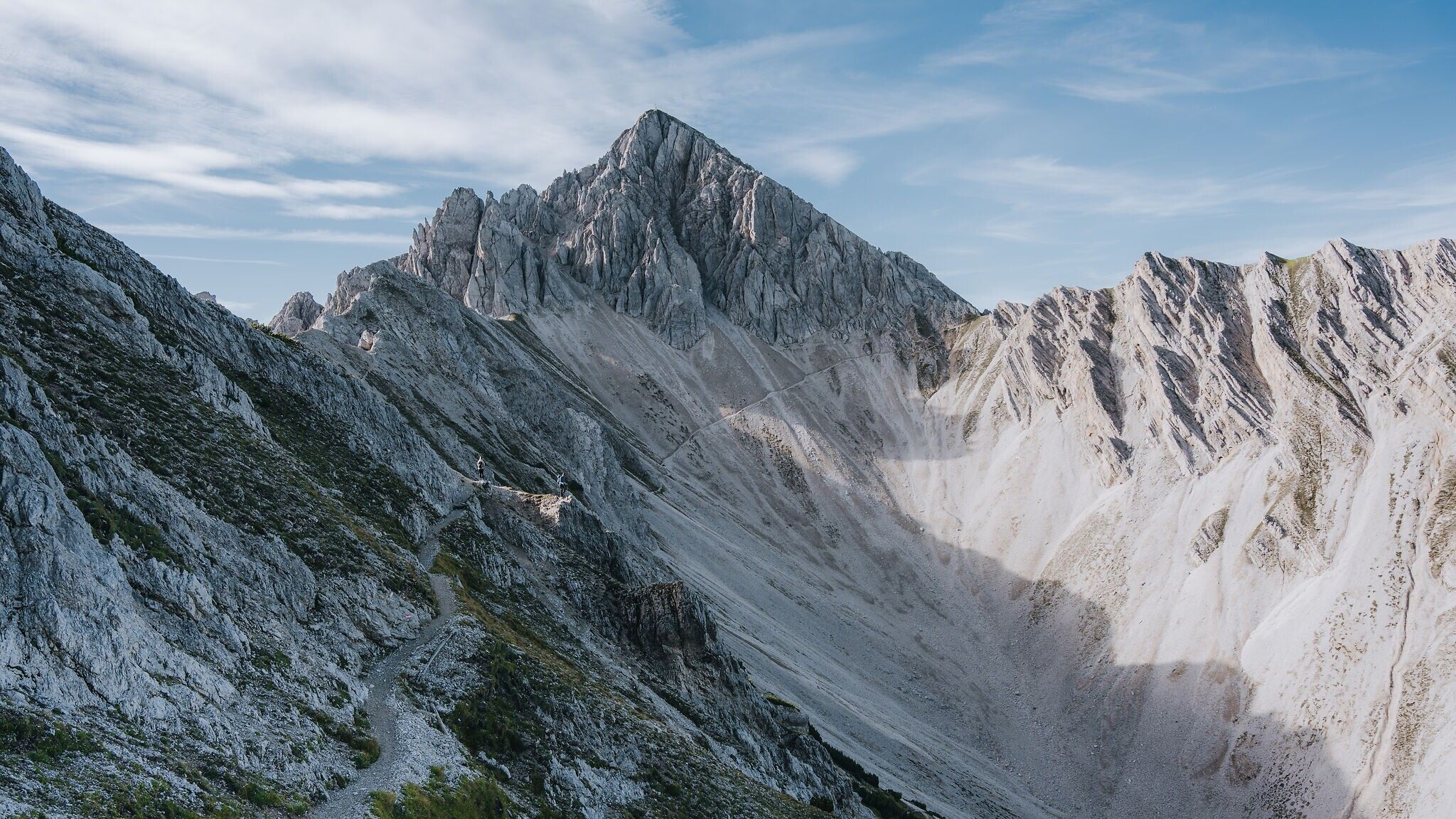
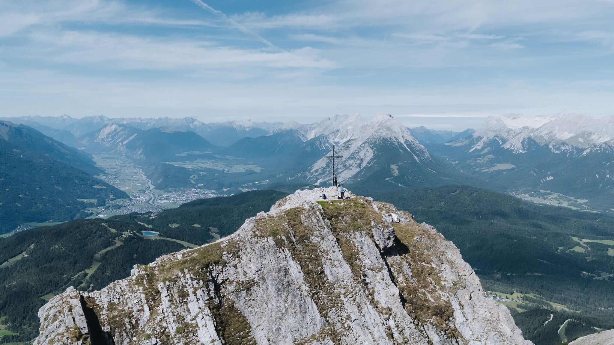
The Reither Spitze is an absolute classic of the region. Highlights include sweeping views over Seefeld, its inclusion in the legendary Karwendel High Trail and – just as legendary – the Kaiserschmarrn served at the Nördlinger Hütte just below the summit. This is a true pleasure hike for those who bring enough stamina. Good fitness is essential, but rest assured: not a single drop of sweat is in vain. The high-alpine scenery looks straight out of a picture book, and the ascent itself is wonderfully varied. After the first summit, the route continues across to the Seefelder Spitze and then back down into the valley. One thing is certain: it’s no coincidence that part of this trail bears the title “Königstour” (King’s Tour).
If your legs are still heavy from the previous day or the weather doesn’t fully cooperate, this stage can easily be shortened – details can be found in the route description. Sure-footedness and alpine experience are essential in any case, regardless of which variant you choose.
Route description:
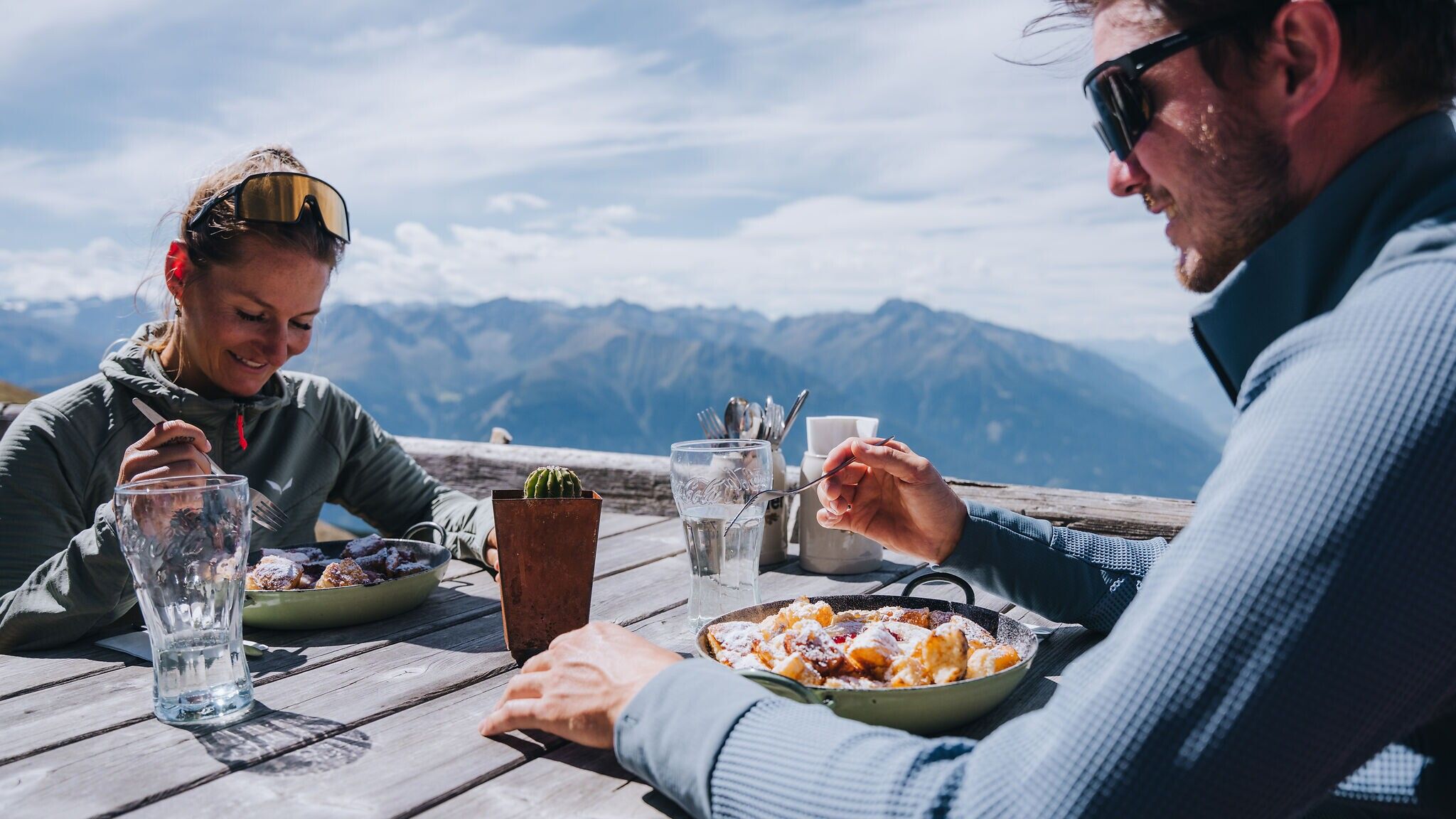
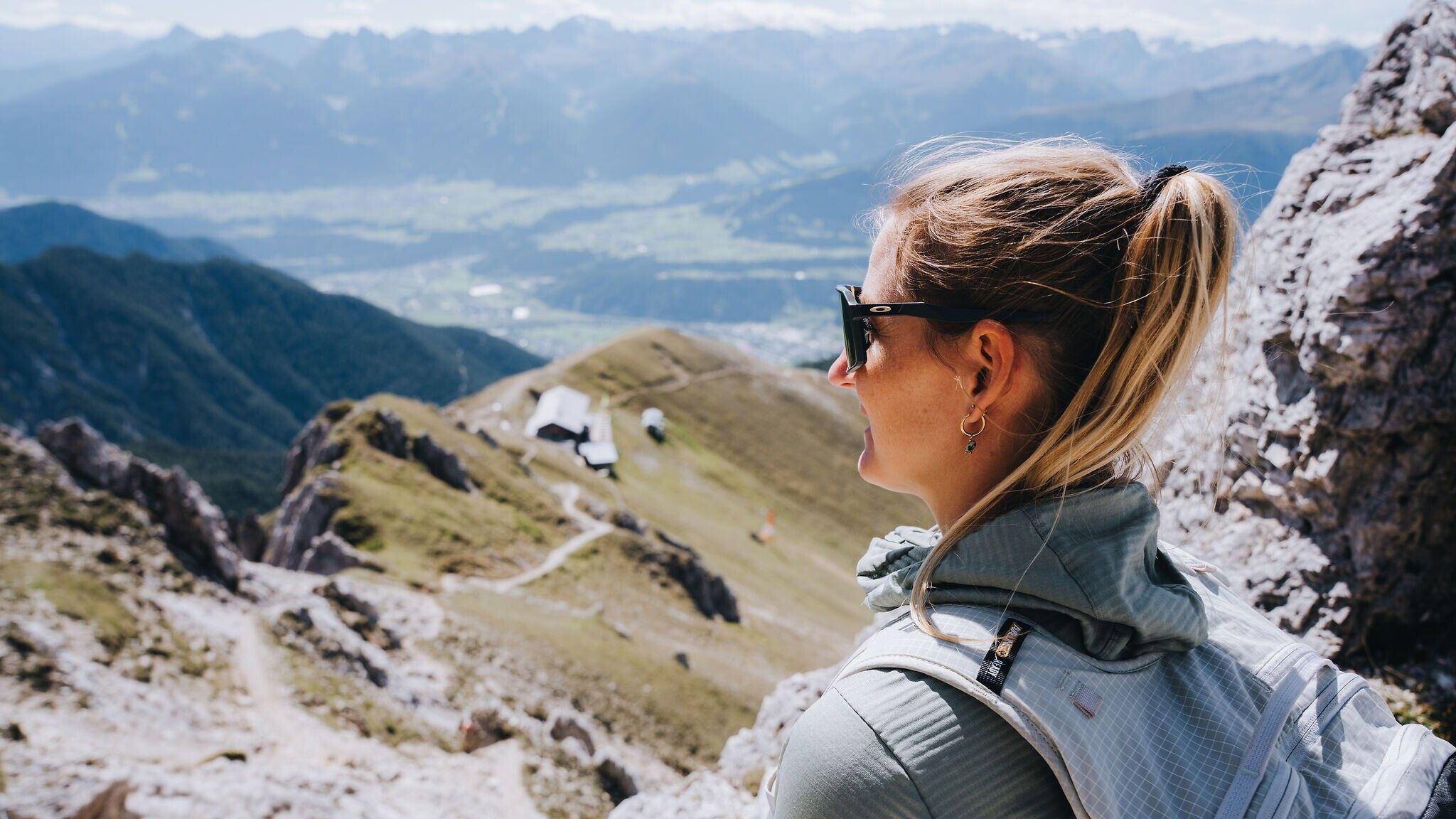
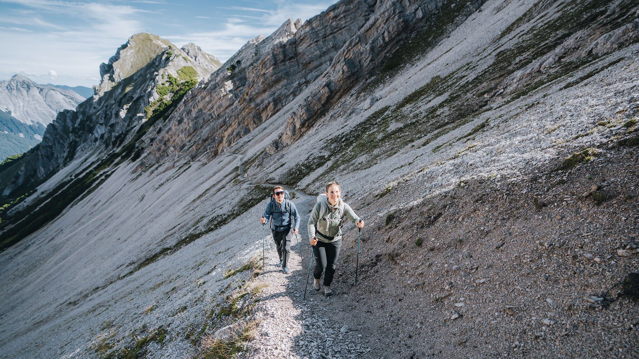
The starting point of this stage is the Reith train station, which is easily accessible by car and train. From there, we first follow the road heading north. Crossing the Roman road, we continue on the Panorama Trail until it turns south at a bend. Follow the Panorama Trail until you turn left onto Trail 211 heading north. Shortly after, this trail turns right and leads in switchbacks through a picture-perfect forest to Schartlehnerhaus (1856 m). Take your time there to enjoy the bright and sunny path before reaching the so-called "Schoaßgrat". After a stretch along the Latschen ridge, continue the final climb to the Nördlinger Hütte (2239 m). By the time you reach it, most of the elevation gain is already done, and you are rewarded with high-quality culinary delights. The Kaiserschmarrn variations are particularly hard to top.
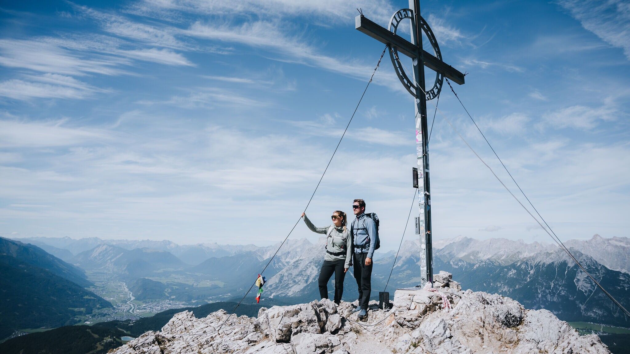
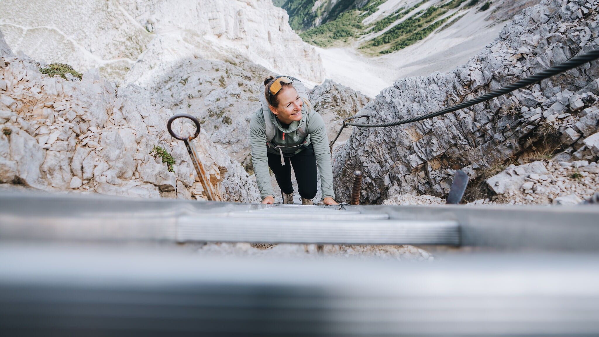
Refreshed, head up to the first and highest peak of this tour. Just 150 meters above the hut, Reither Spitze stands proudly and offers a panoramic view of nearly the entire plateau. Spend some time there and enjoy the unique energy of this place. Often, curious birds will accompany you, and the brave ones may even eat from your hand. Afterward, descend partially via ladders to Reither Joch.
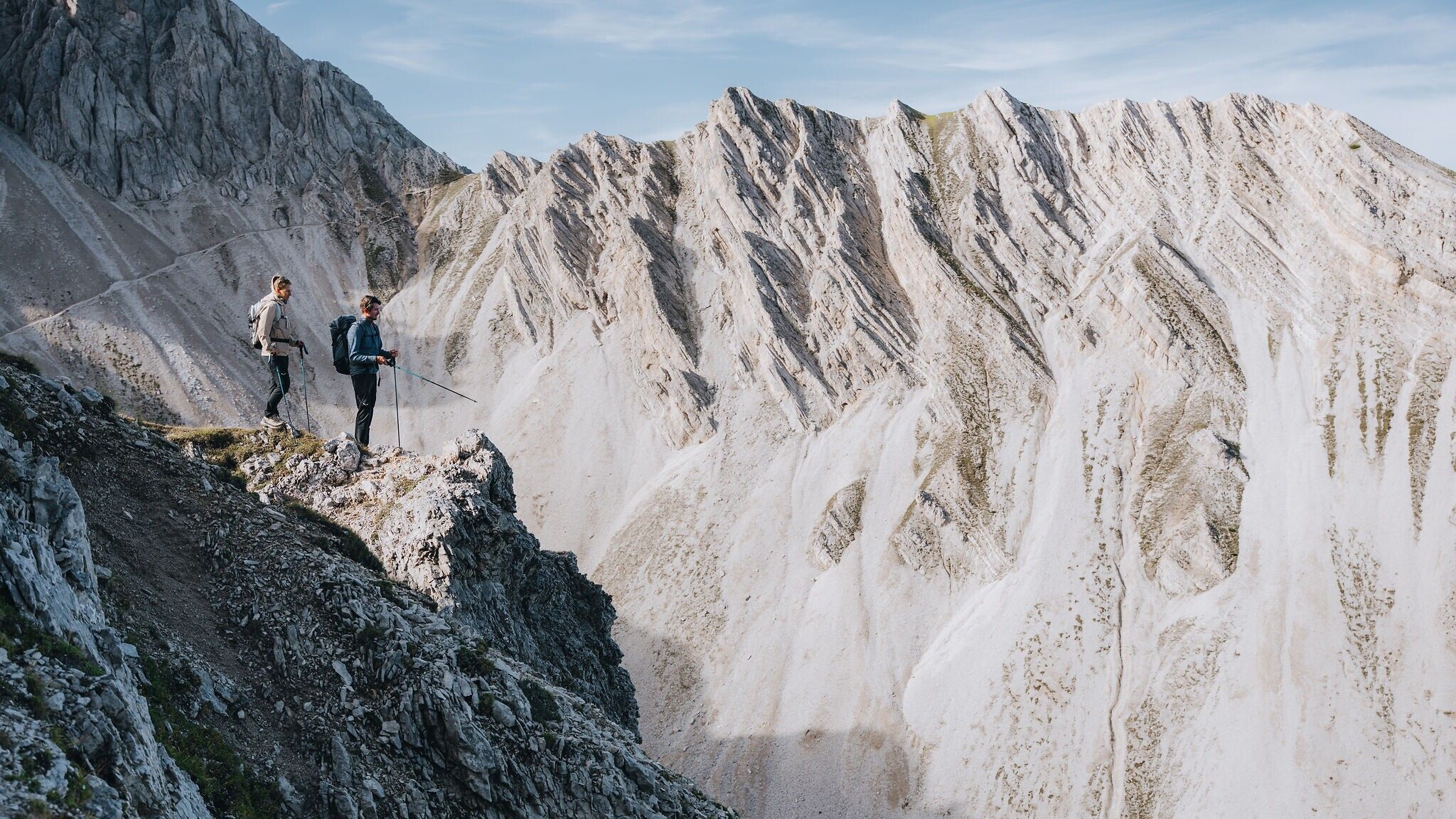
Now it’s time to decide how far you want to go. The recommended route leads you through a basin and ascends about 150 meters to Seefelder Spitze, from where you continue along a scenic ridge to Seefelder Joch. From there, you can begin your descent with a stop at the beautifully serene Kaltwassersee in the evening or at the Hocheggalm. Alternatively, you can take the train from Seefelder Joch back down to the valley.
If your legs or the weather aren't cooperating, you can also descend directly from Reither Joch to the Härmelekopf-Bahn (note, this is not to be confused with the summit of Härmelekopf) and return to the valley with a stop at theRosshütte mountain station. If you've had enough at Nördlinger Hütte, follow the path directly to the Härmelekopf-Bahn and skip Reither Spitze.
From the Rosshütte valley station, you can walk back to the village. If you parked your car in Reith, it’s best to take the train or bus from Seefeld center back to Reith.
Tip: If you’re still craving more adventure, try one of the three via ferrata routes at the Rosshütte for an extra dose of adrenaline
More information about the Big 3 Multi-day Hike
(Attention: Construction work at the Nördlinger Hütte – Due to extensive renovation work, the Nördlinger Hütte will be closed and unstaffed from September 2026 until the start of the 2028 season (no overnight accommodation or food service; last overnight stay on 16 August 2026, day service until 30 August 2026). During this period, a small replacement kiosk is planned, subject to availability.)
Take the public transport to Reith Railway Station.
All real-time connections can be found in the route planner.


.jpg")


.jpg")

