Quiet, rugged and surprisingly accessible: the Gehrenspitze combines a varied ascent across alpine meadows and rocky terrain with impressive wildlife encounters, dramatic mountain scenery and a rewarding stop for refreshments – a true summit experience away from the well-trodden paths.


Mountain path, forest road, forest path, meadow path, root path and gravel path.
All current information about the trail closures in the Region Seefeld can be found here.
Have you been out and about in the Region and discovered a spot that we should rework or repair? Fill out the form "Report a danger zone" and let us know where work is needed.
Sturdy hiking shoes, functional clothing, a backpack, water, snacks, alpine experience, and sure-footedness are necessary for this tour!
Also recommended: a hiking map or GPS, a first aid kit, sun protection, hiking poles, and an emergency blanket.
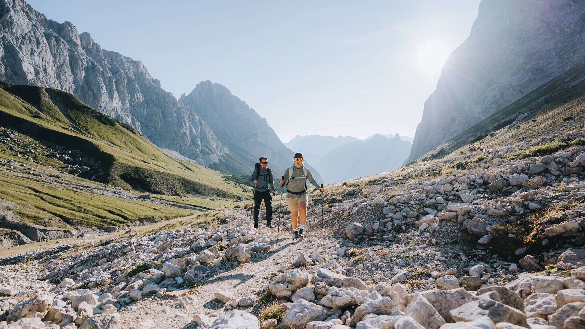
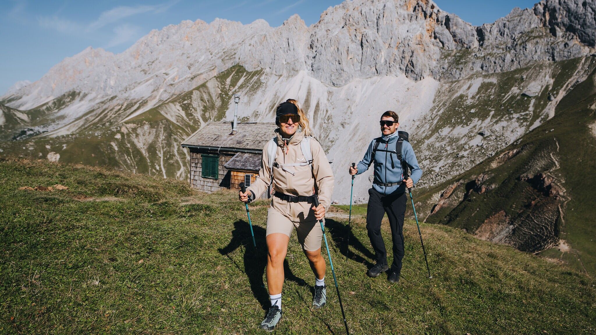
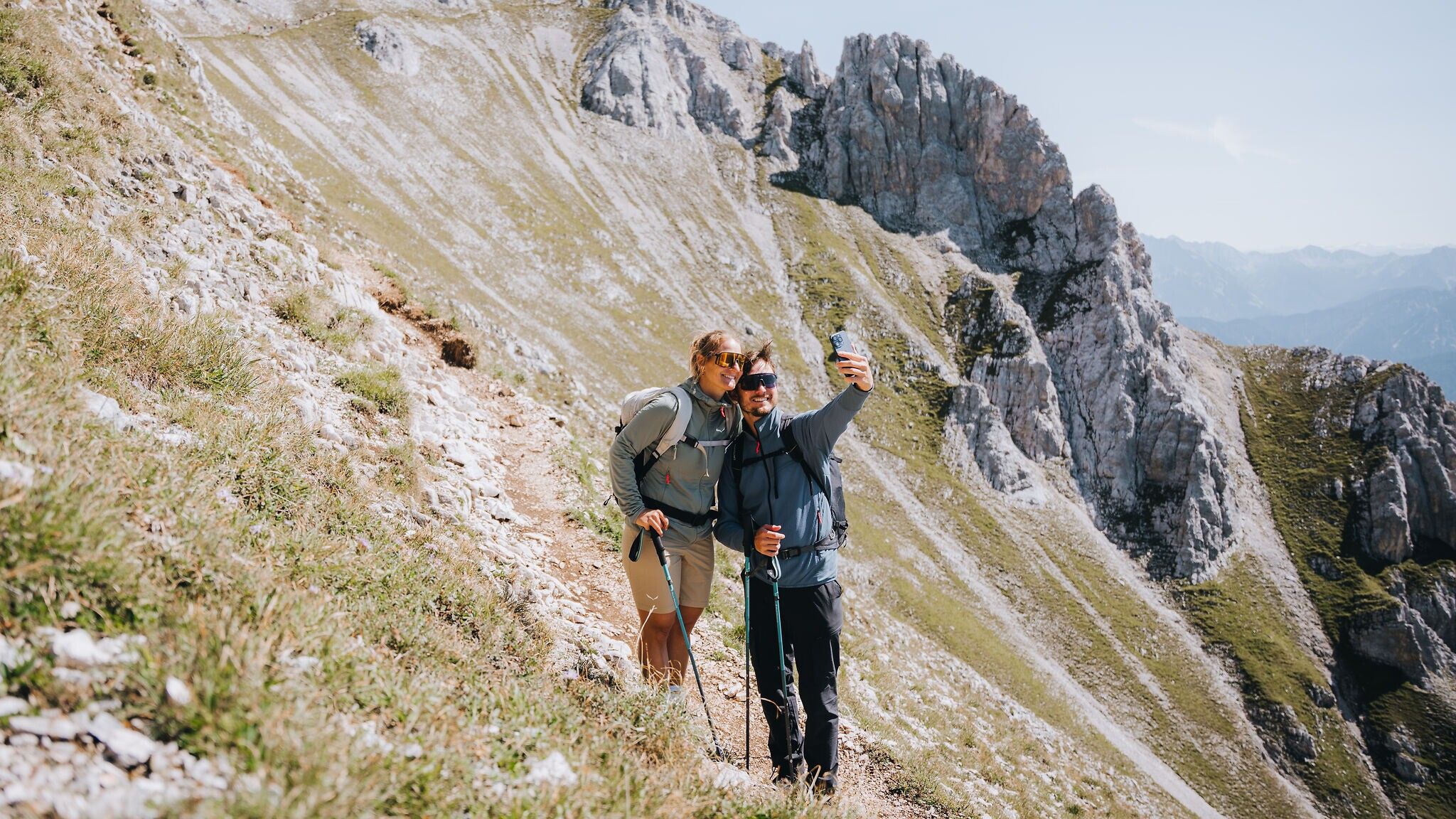
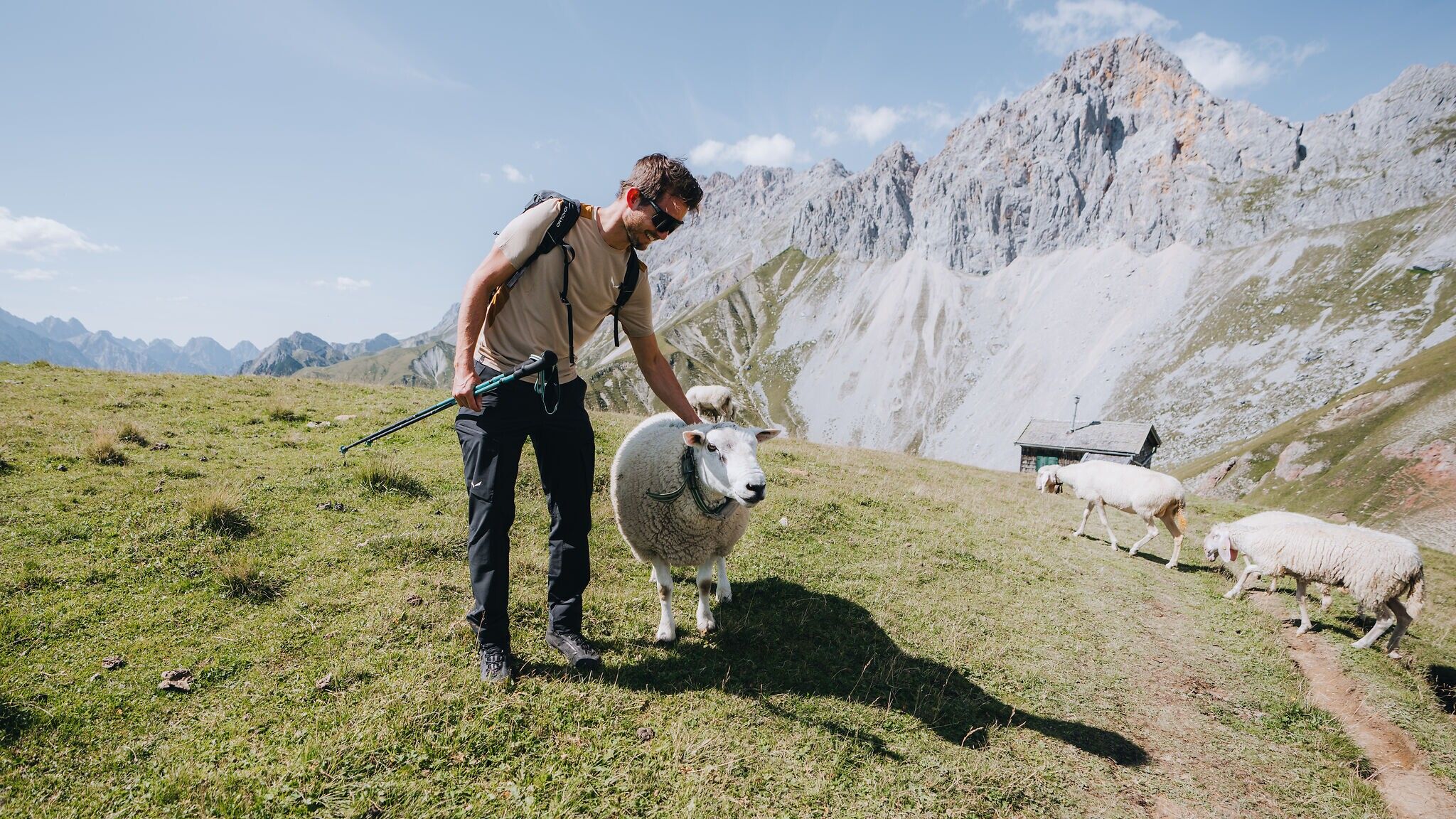
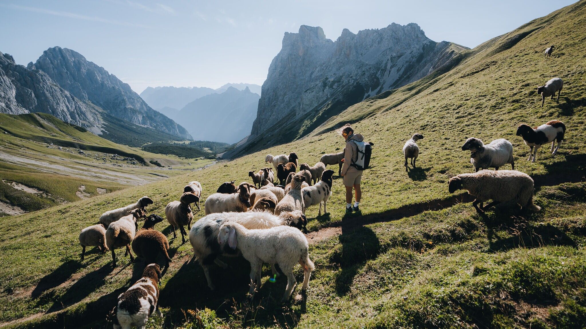
From the north, the Gehrenspitze appears almost unconquerable: steep, craggy and uninviting. Yet those who know the right approach discover a spectacular but very achievable tour – a genuine insider tip, even among many Tyroleans. The ascent unfolds in a constant interplay of gentle meadows and rocky sections, accompanied by the sound of sheep bells and the curious gazes of countless chamois, while climbers search for their lines on the nearby Schüsselkar. This blend of untouched nature, wildlife and alpine drama defines the unique appeal of the Gehrenspitze. Little known beyond the Leutasch valley, it offers a summit experience that is quiet, authentic and full of surprises – especially when a delicious alpine meal awaits tired hikers on the descent.
Route description:
The hike starts at the football field car park (P21) in Leutasch. From here, the summit you are aiming for is already towering directly above you. You walk towards it at first, but upon reaching the edge of the forest, turn onto the hiking trail that leads around the mountain on the right. Follow this path until you cross the Puitbach stream and the beautiful Puittal valley opens up to your left. After crossing the bridge, continue along the path ascending into the valley on the left.
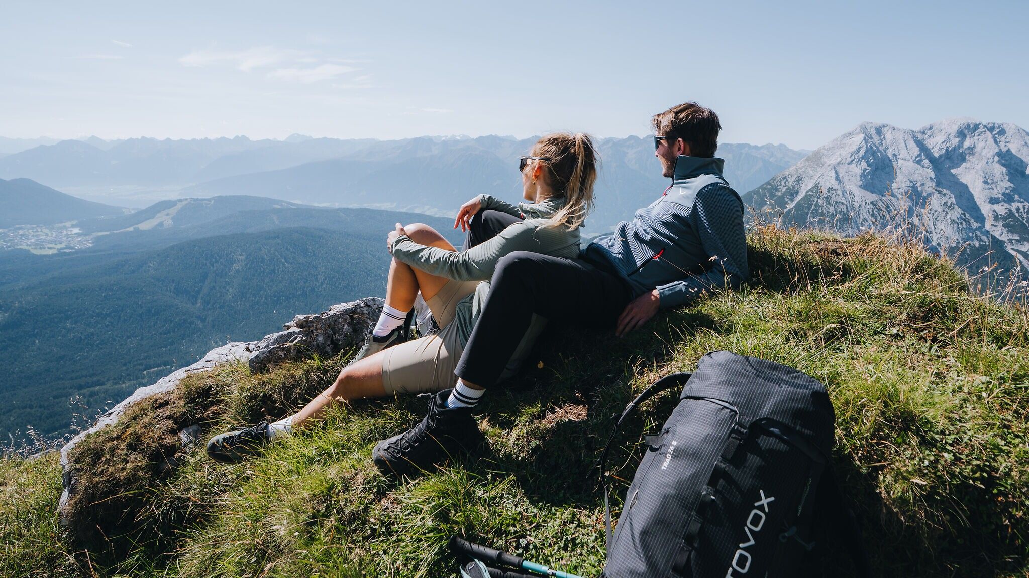
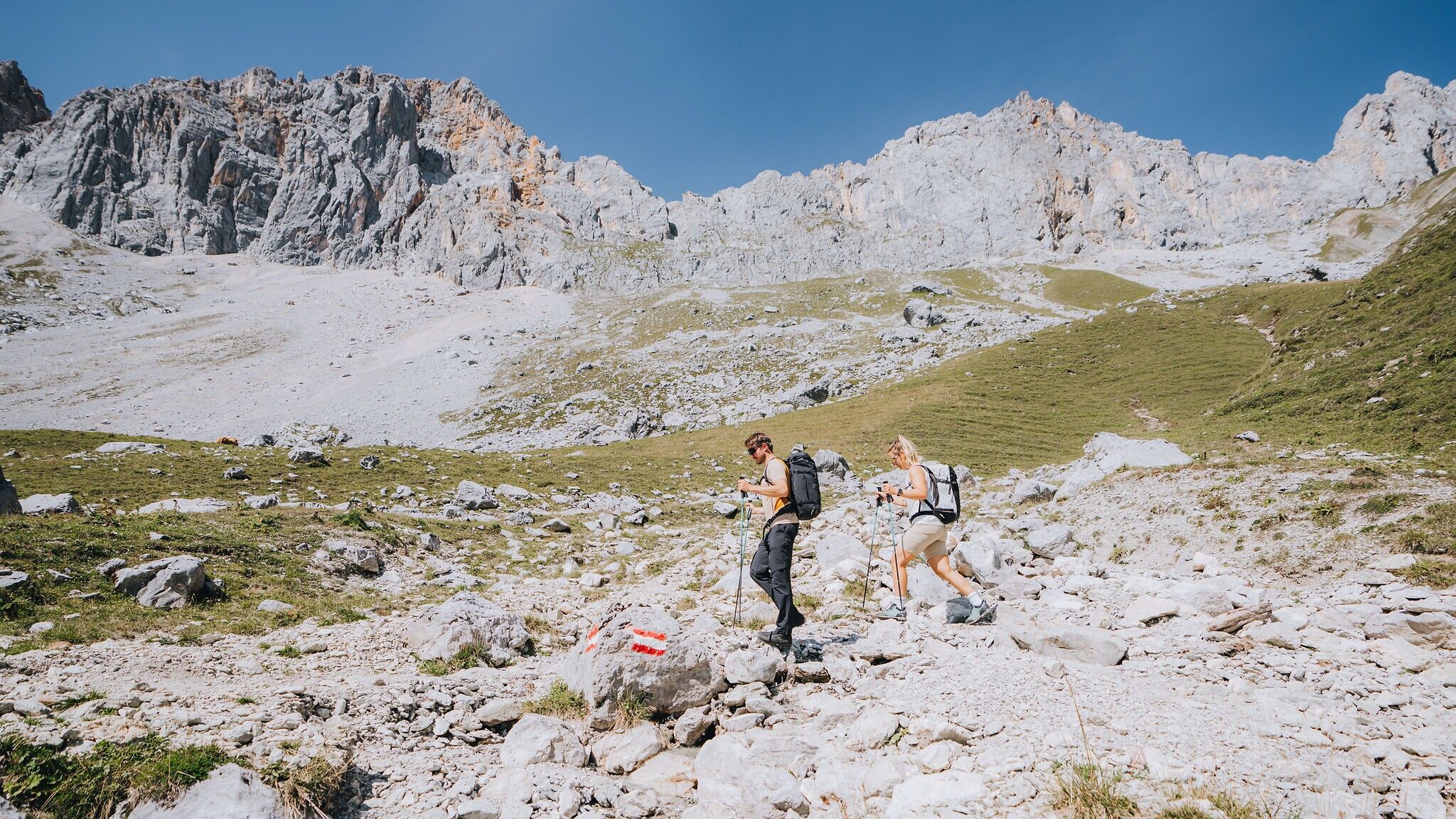
The route initially winds uphill through the forest via switchbacks before opening out into wide alpine meadows, pristine nature and idyllic views of the surrounding mountains. Beneath the towering Öfelekopf, the Leutasch Dreitorspitze and the steep walls of the Gehrenspitze, the trail climbs steadily through the lush green valley. With a bit of luck, you may encounter chamois or marmots, which call the Puittal their home.
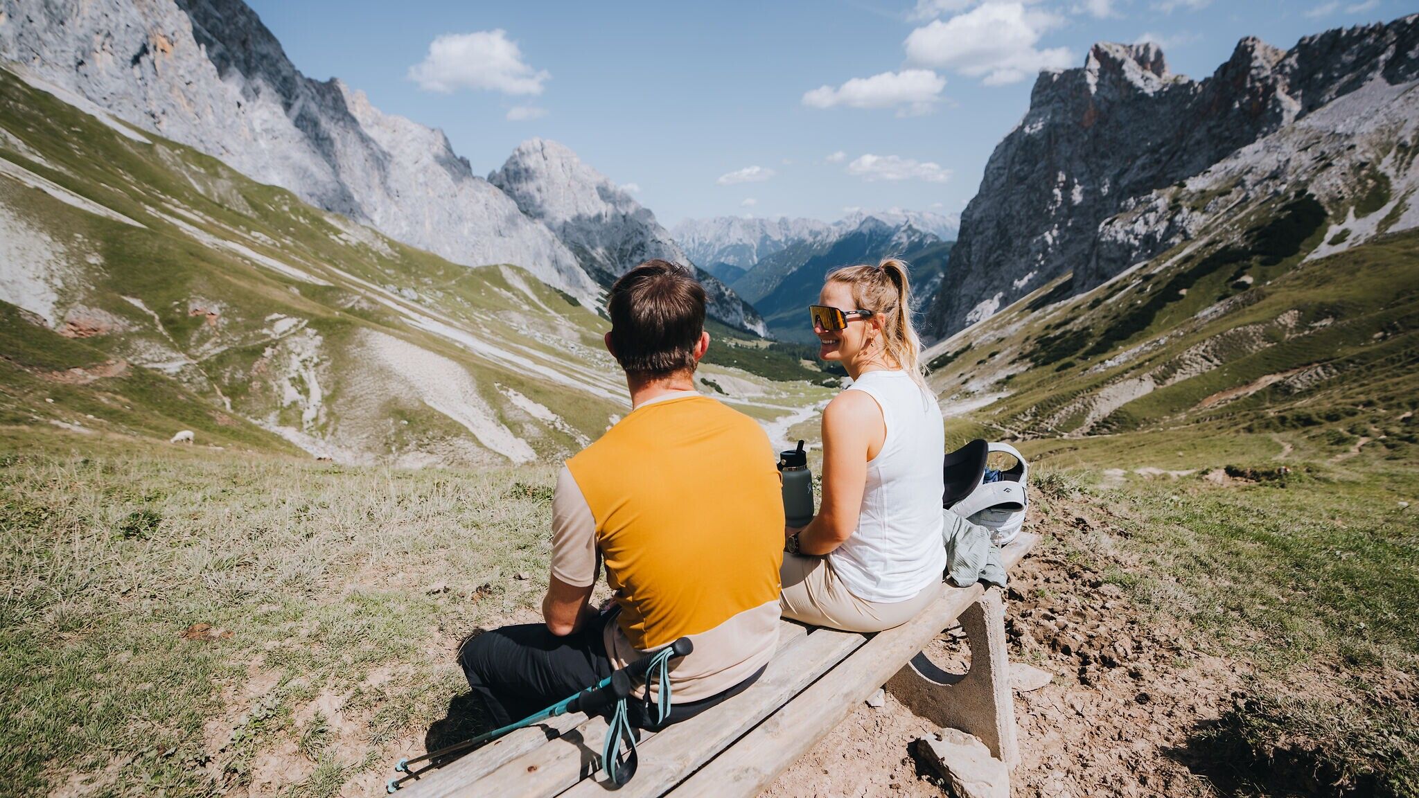
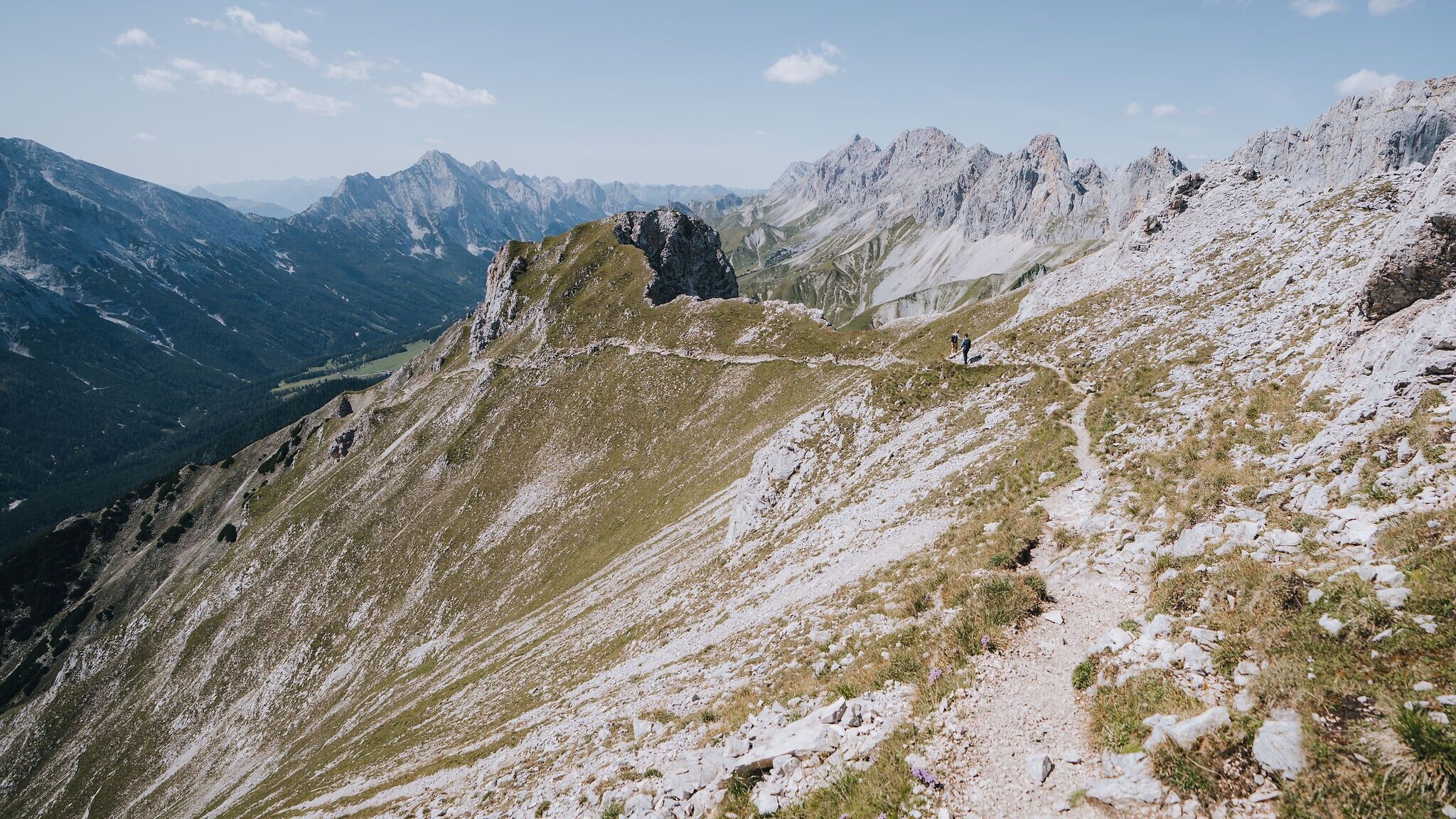
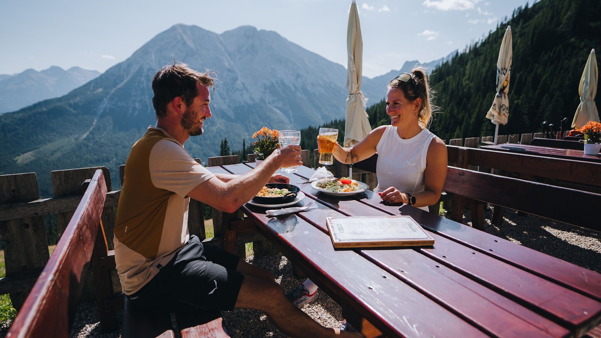
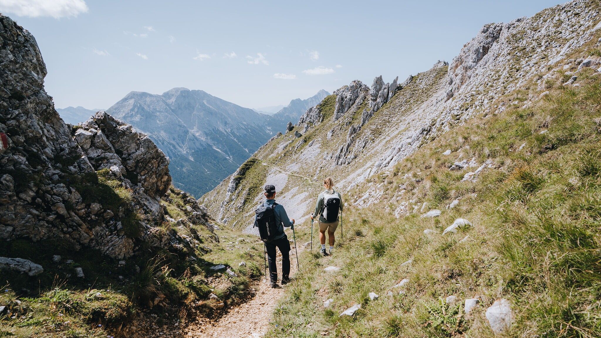
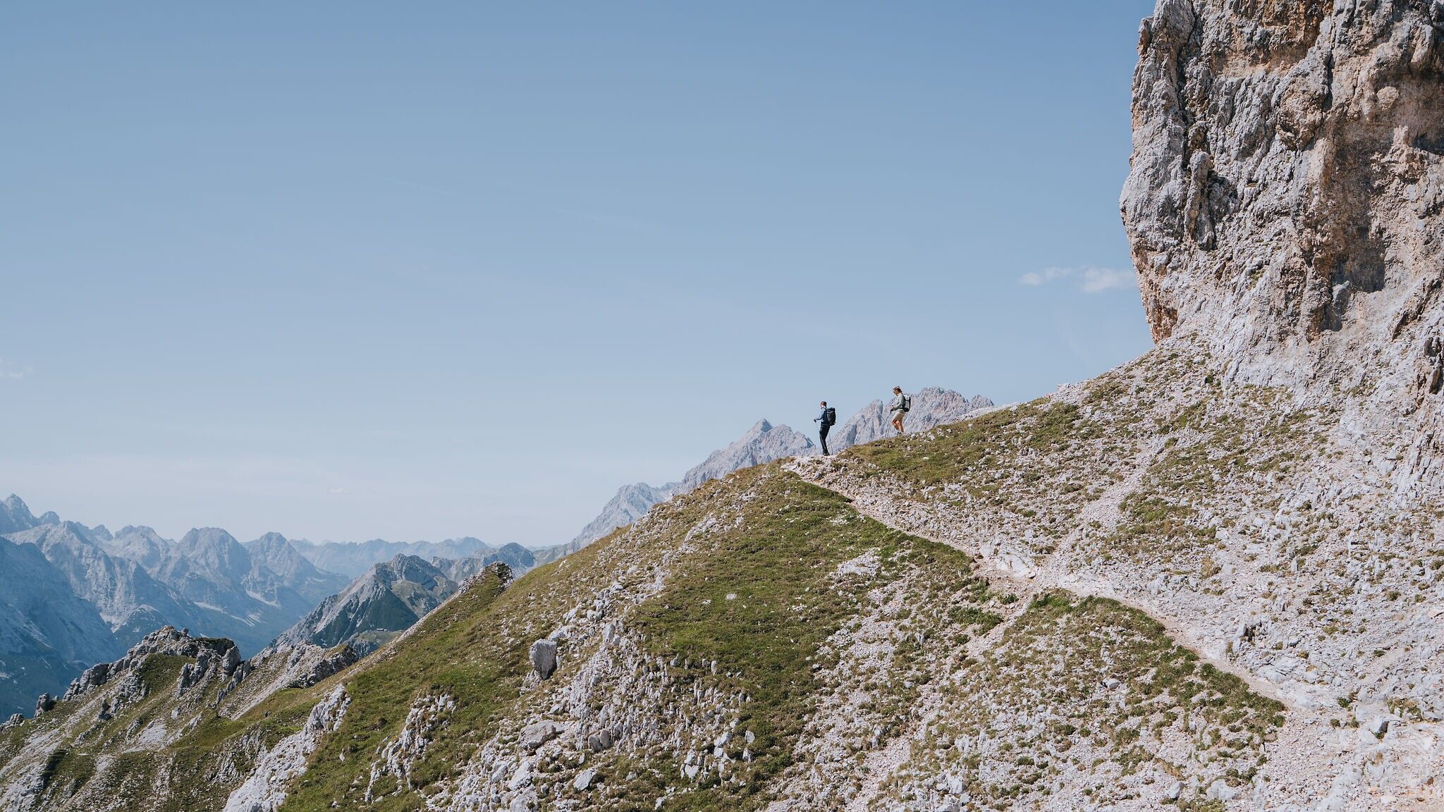
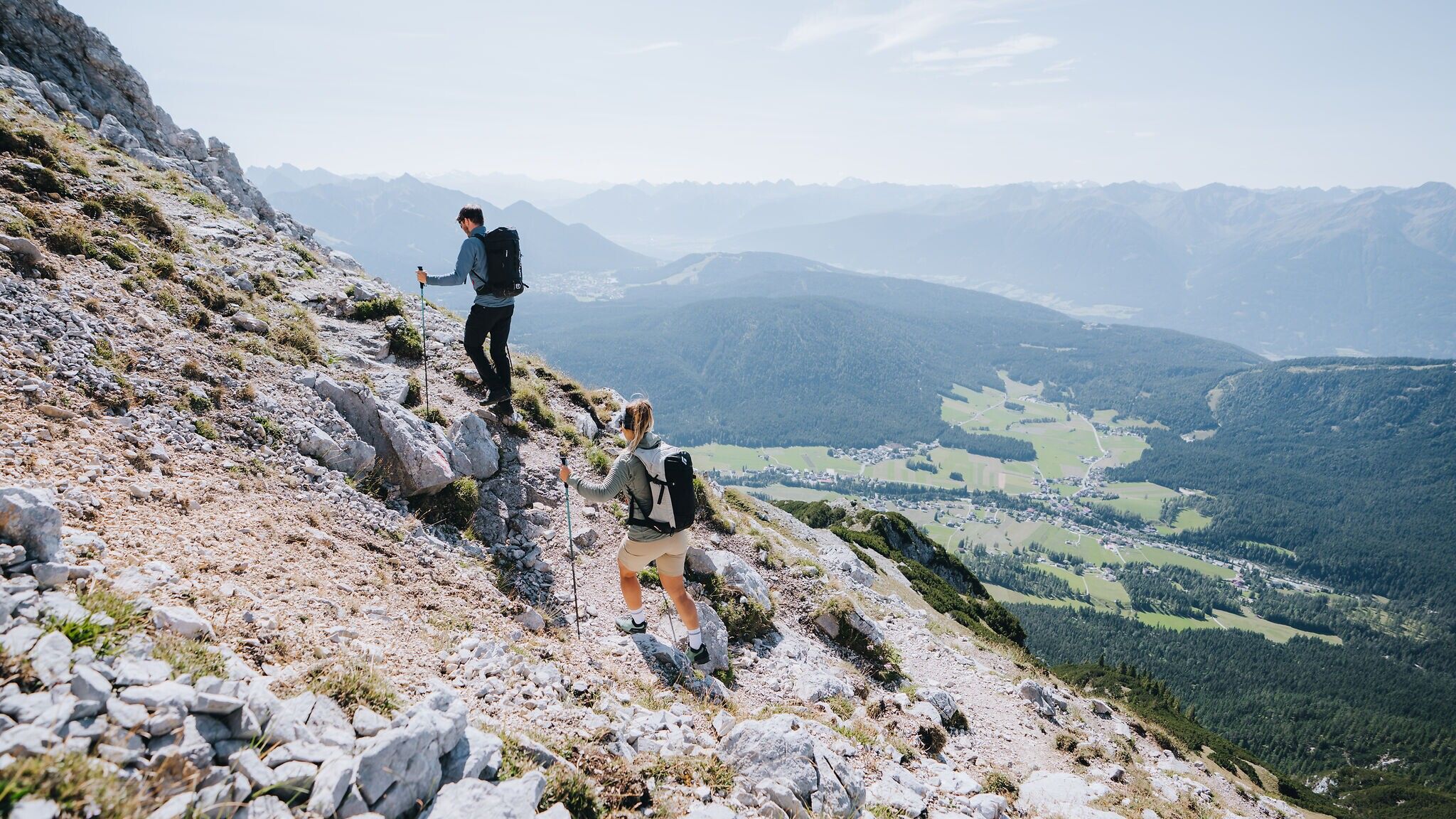
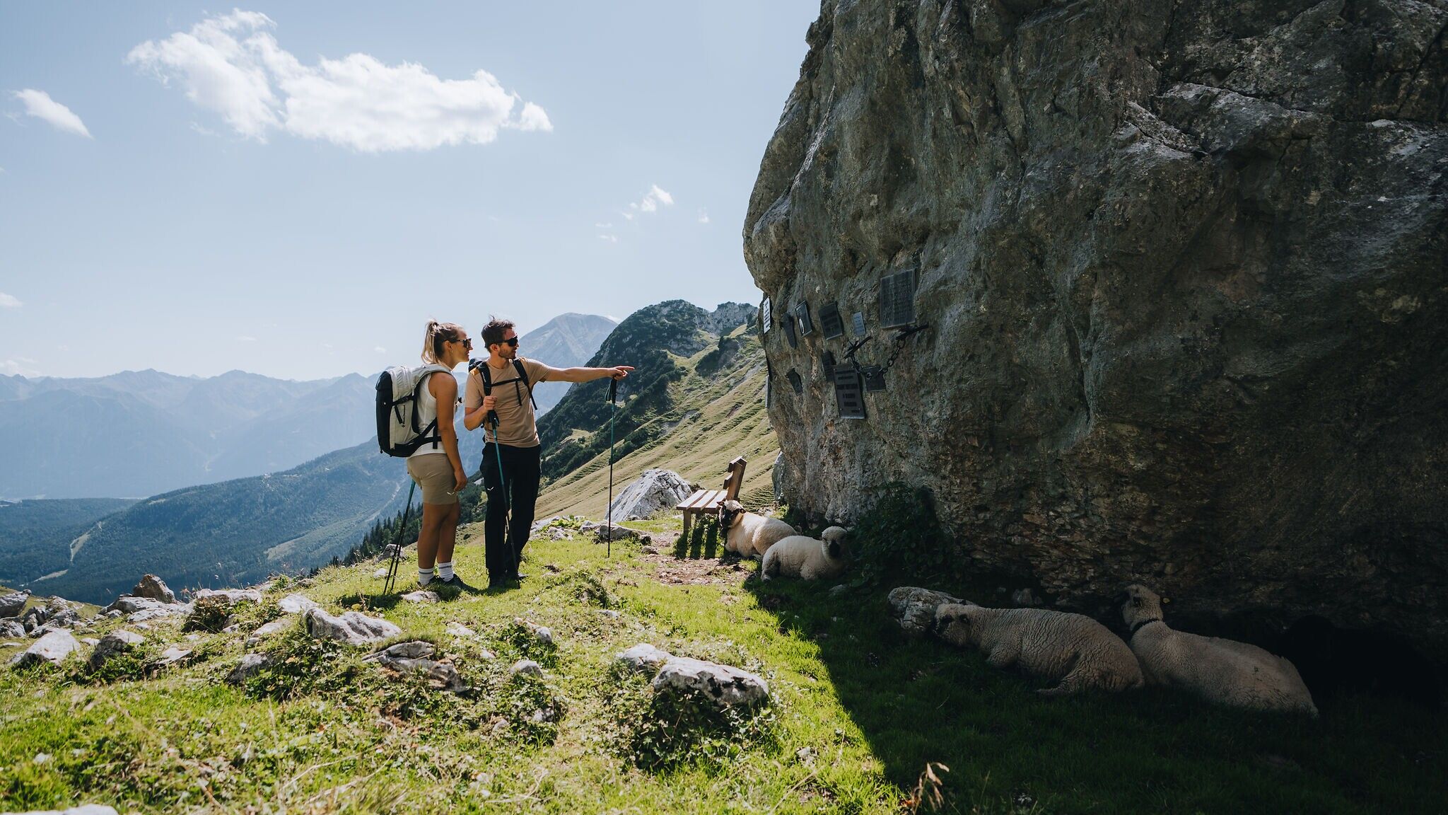
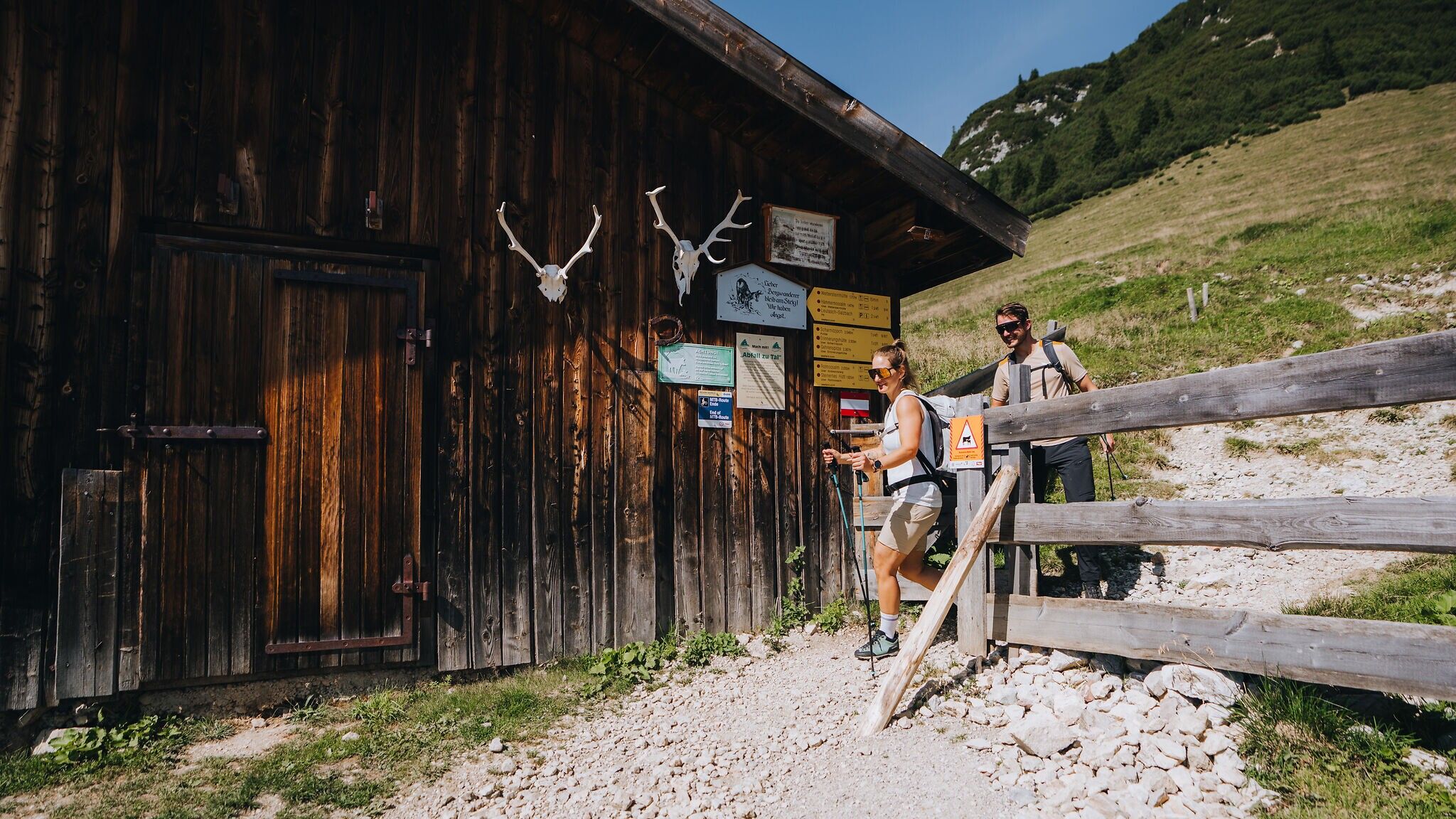
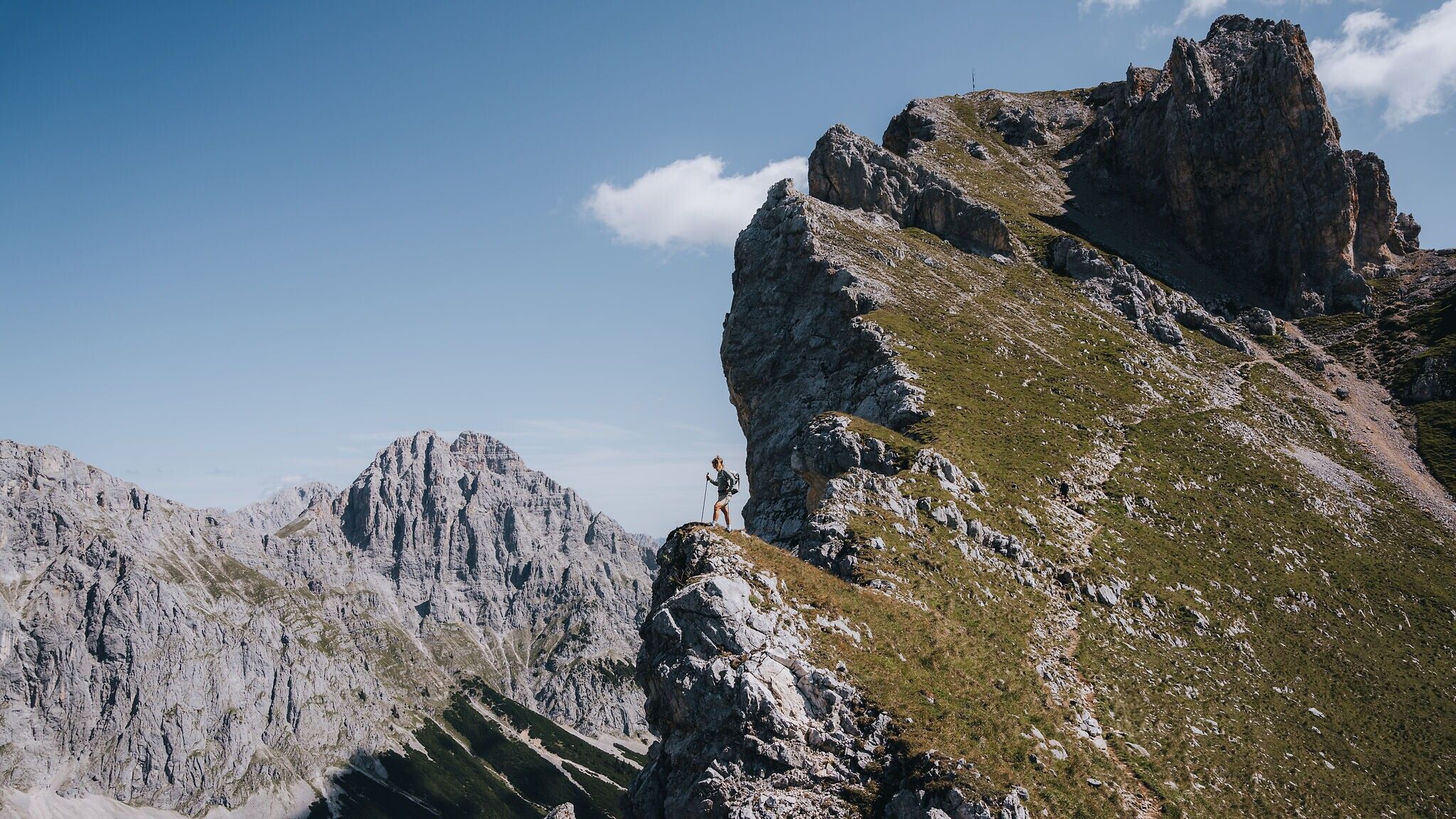
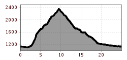
After tackling a number of steep elevation gains – well rewarded at the Scharnitzjoch saddle – you reach this point after around three hours and are treated to your first magnificent views of the Gaistal valley. The route then continues past the small Erinnerungshütte (not serviced) towards the summit of the Gehrenspitze. The path becomes narrower and partially exposed, requiring sure-footedness and a head for heights. At the summit, the panoramic views are breathtaking: across the Leutasch valley, the Karwendel mountains and over to the Hohe Munde. The route follows the same path back to the Scharnitzjoch. From there, the descent leads to the left down to the Wangalm.The alpine hut offers a wonderful sun terrace, cosy parlours, excellent regional cuisine and warm hospitality.
For the descent, there are two options. We recommend descending via the Wurziger Steig: from the Wangalm, follow the trail towards the Wettersteinhütte (not serviced), then continue following the signs “Hämmermoosalm via Wurziger Steig” and continues on to the Salzbach car park. The Hämmermoosalm invites hikers to stop for a break, offering regional specialties and a rustic sun terrace. This descent leads to the entrance of the Gaistal valley and allows for a restorative finish at the beautifully natural Salzbach Kneipp facility. From there, you can either take the hiking bus or walk back to the starting point along the Leutascher Ache river.
Alternatively, you can descend directly from the Wangalm to the Stupfer car park via the forest road, shortening the hike by around 3 km.
Go to stage 2 of the Big 3 Multi-day Hike
More information about the Big 3 Multi-day Hike
By bus to Leutasch and get off at the "Leutasch Weidach Alpenabd/Brücke" bus stop.
All real-time connections can be found in the route planner.


.jpg")


.jpg")


")


