.jpg")
Opening hours:closed
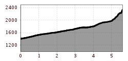
Difficulty:easy
Length:5.1 kmDuration:1:39 hElevation uphill:120 m
A varied hike to Theierjoch with beautiful views of the Radurschltal and the surrounding mountains.
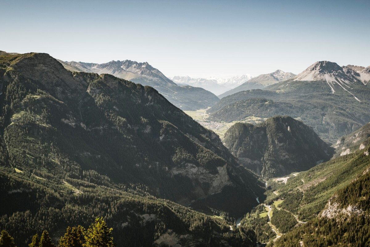
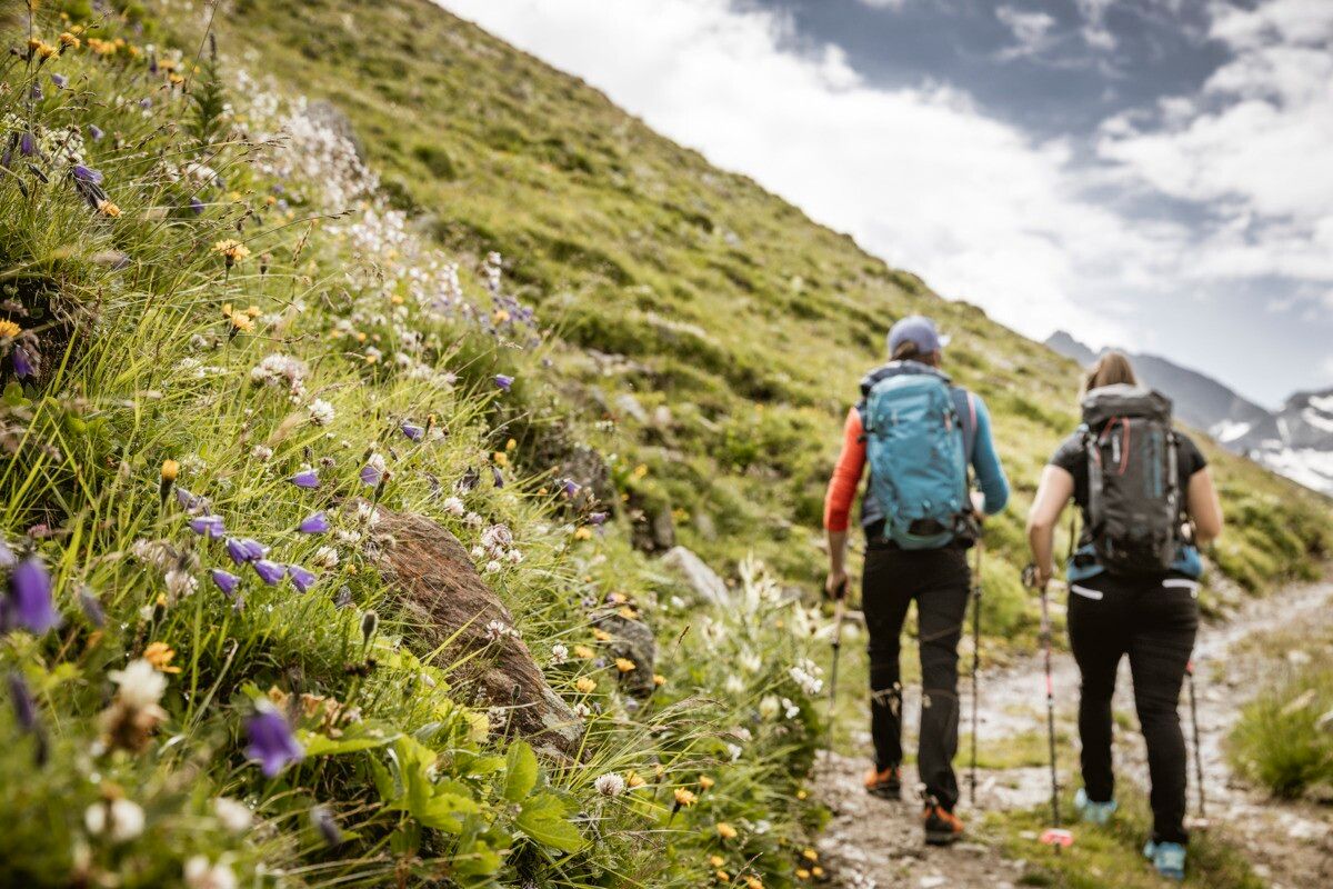
The hike starts at Wand. From there, the route first follows forest road no. 22 uphill for a short distance. After a while, forest path no. 23 branches off and leads through the woods up to Perflkopf. From Perflkopf you can enjoy a wonderful view of the surrounding landscape. The marked trail continues from here towards the summit. The final section up to the summit cross at Theierjoch becomes steeper again, but rewards hikers with a magnificent view into the Radurschltal with Glockturm and the surrounding mountain scenery. The return follows the same route back.
.jpg")
.jpg")
.jpg")

.jpg")
.jpg")
.jpg")
.jpg")
.jpg")
")
.jpg")

.jpg")
.jpg")

.jpg")

