Valley hiking trail with swiss trac

St. Leonhard im Pitztal / Ötztal Alps
Route length: 15.6 km

Tour information

  • Length: 15.6 km
  • Elevation uphill:14 hm
  • Elevation downhill:431 hm
Highest point1,679 m

Starting point

Mandarfen

Finishing point

Wiese

Features

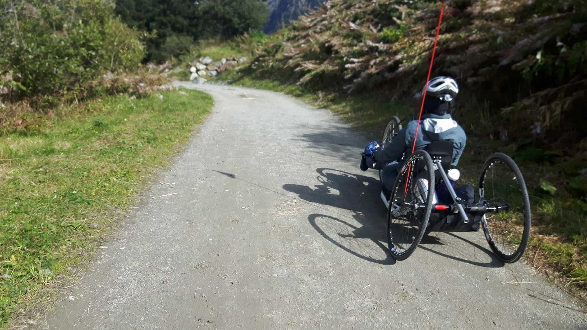
  • Wheelchair hike

Trail condition

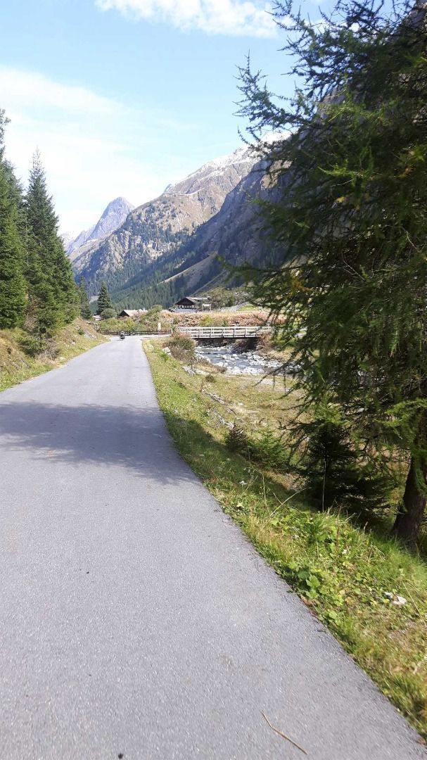
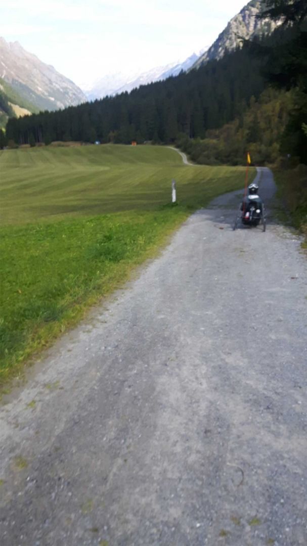
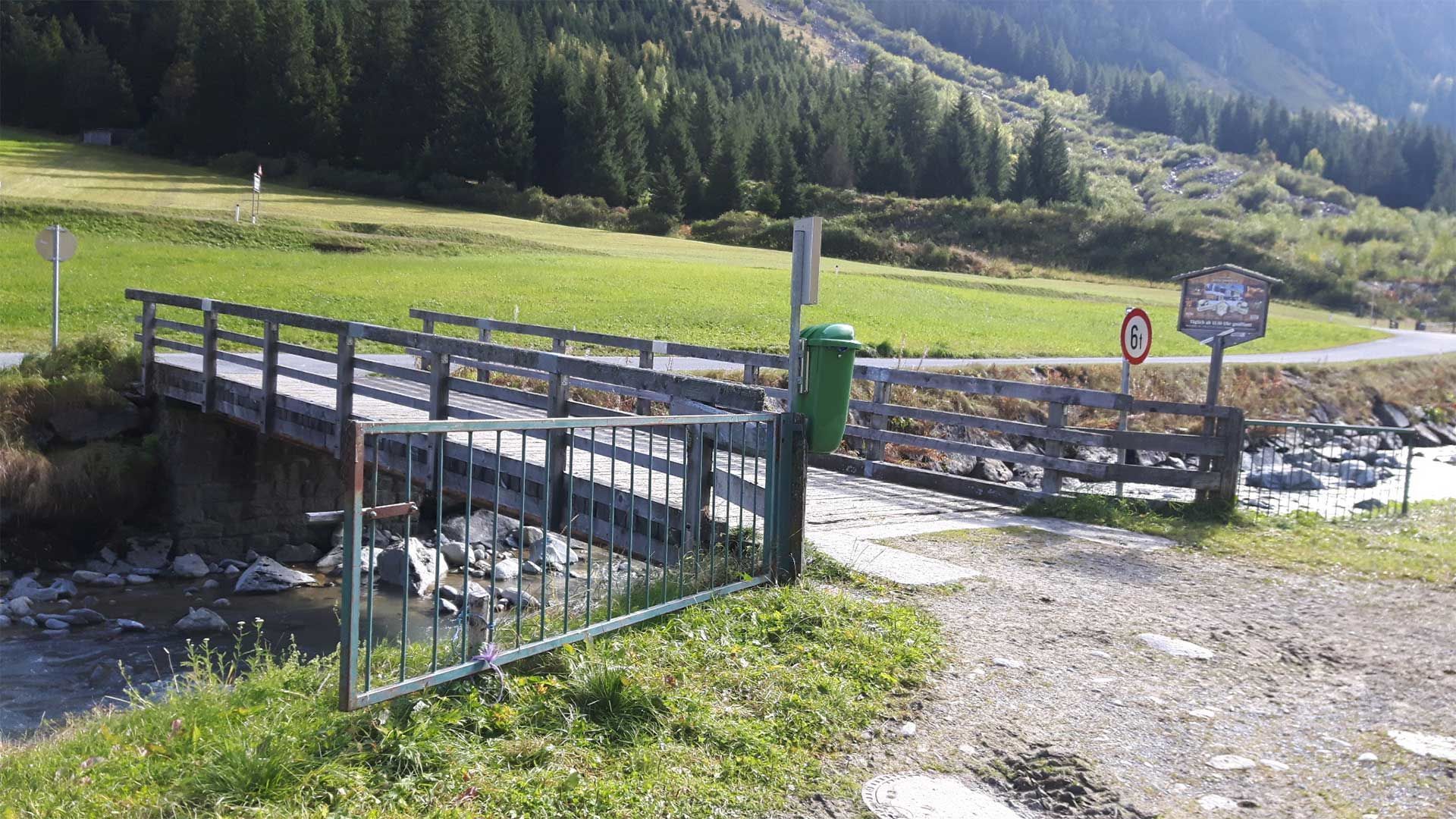
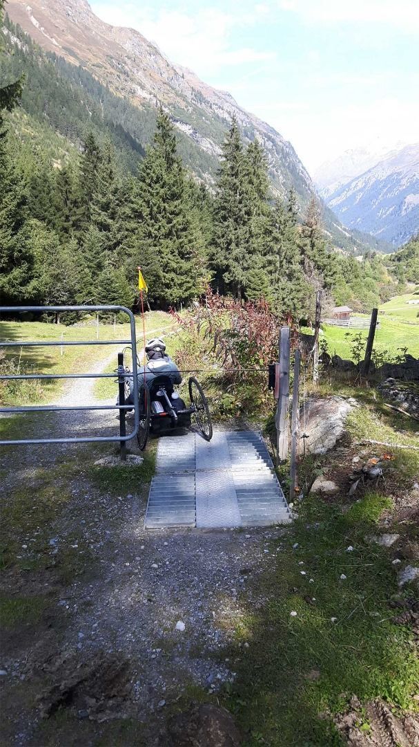
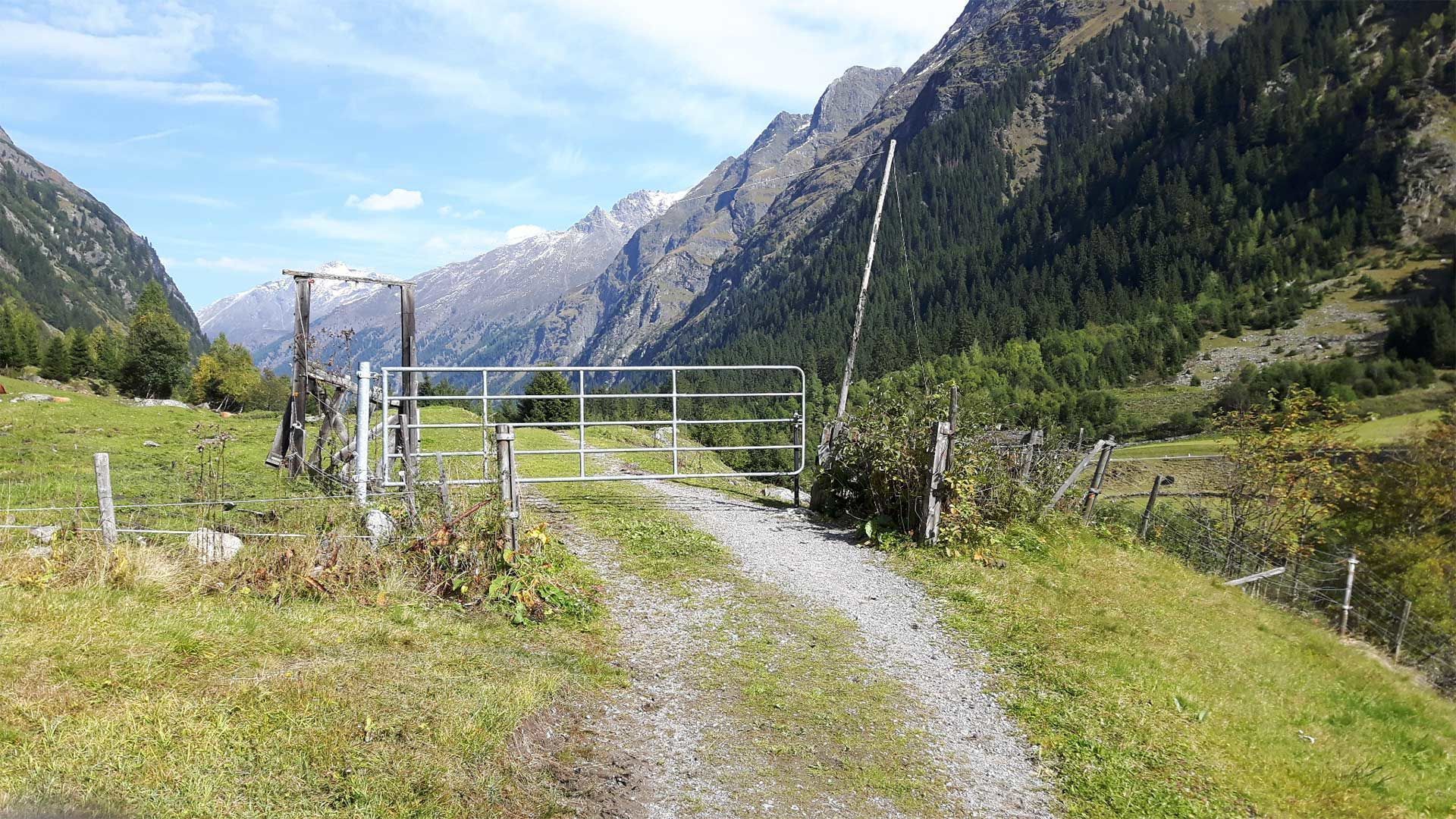
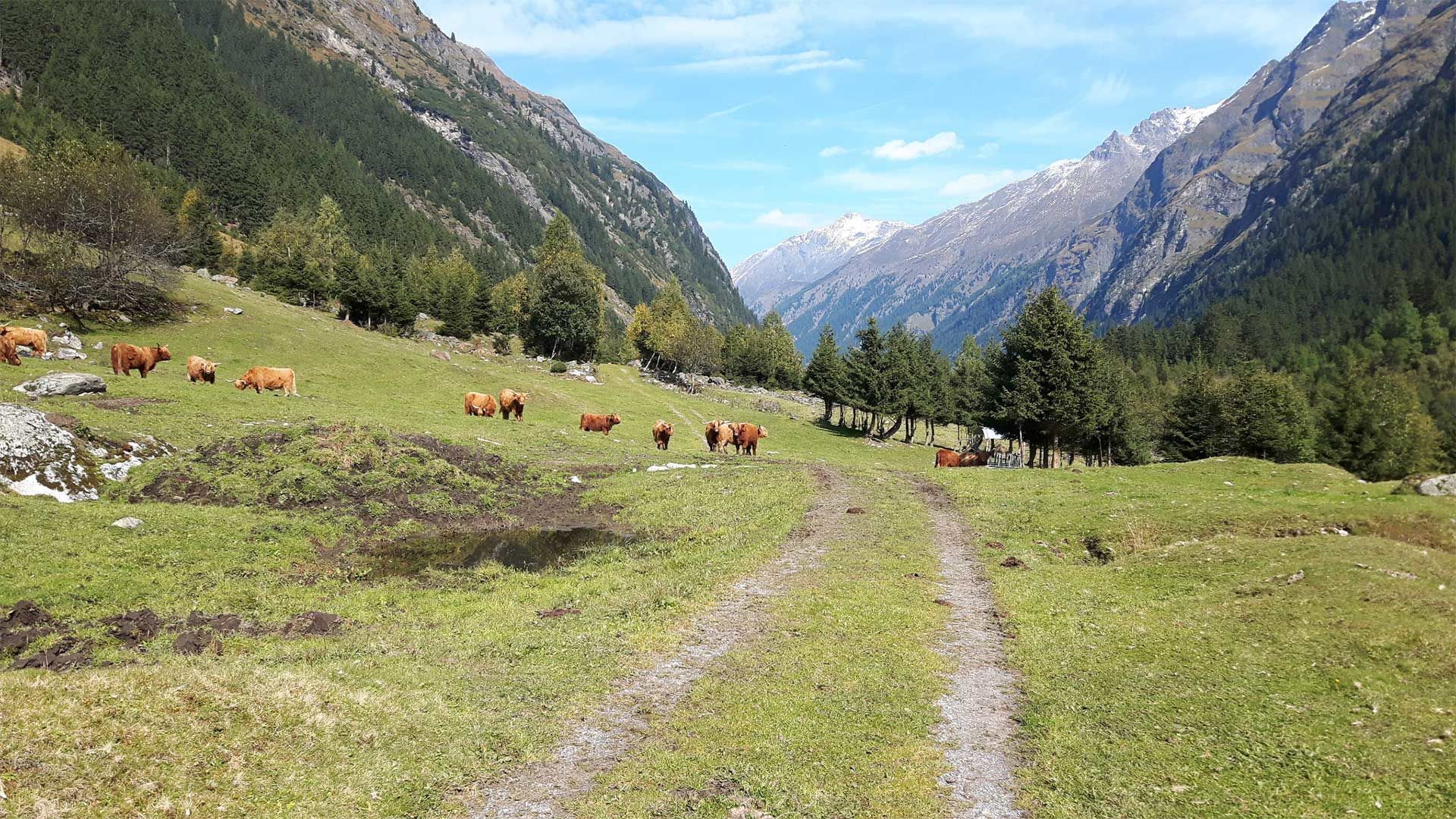
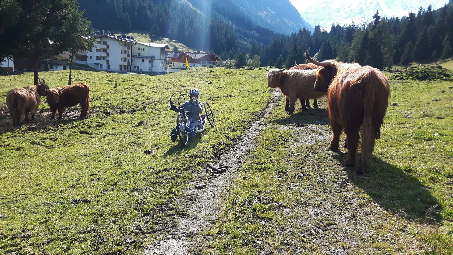
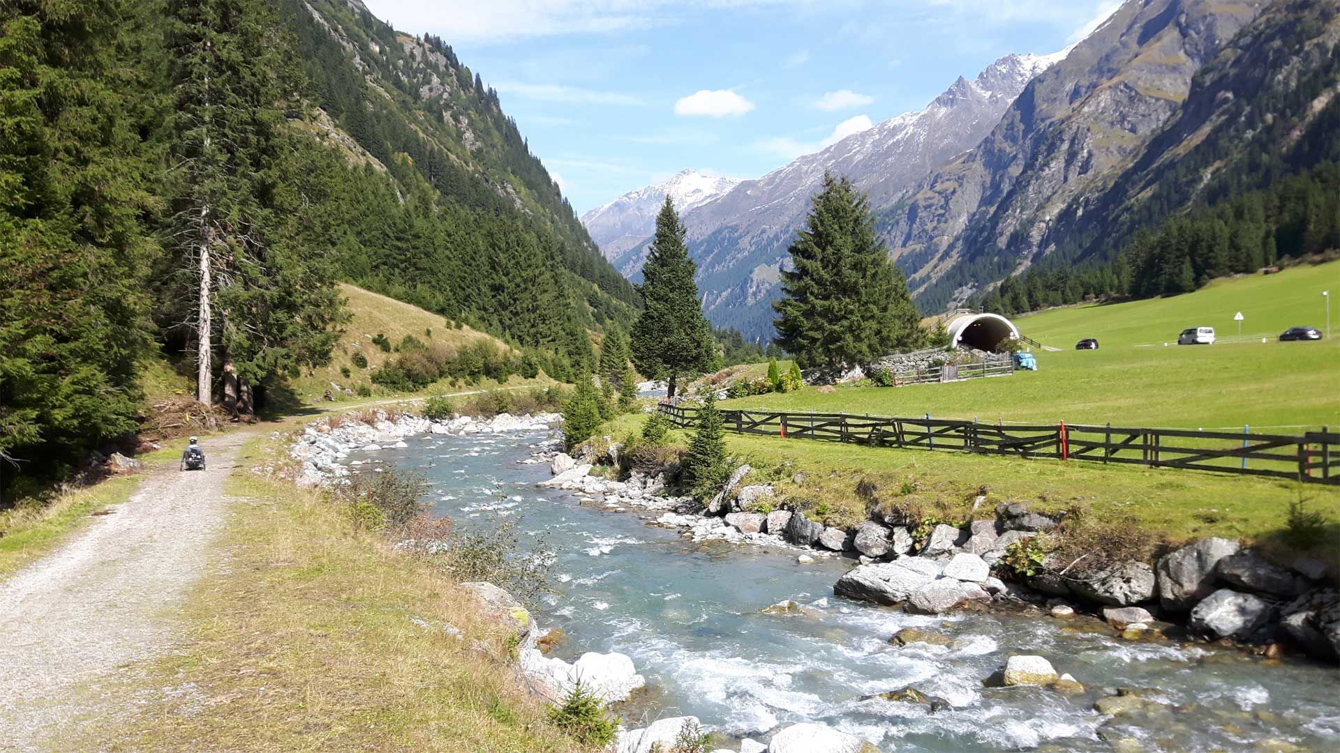
again and again strong gradients, cross gutters, different terrain, partly by pasture areas
Source: TVB Pitztal

Description

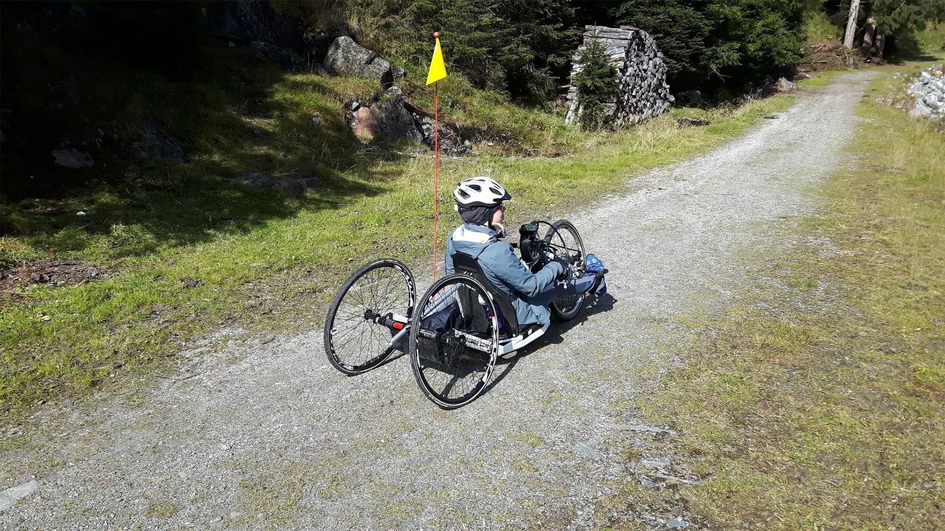
Swiss Trac Tour:The valley hiking trail from Mandarfen to Wiese (ca. 22 km) can be navigated either by electric handbike or sections of it by Swiss-Trac. If you are using an electric handbike, we would advise to start in Mandarfen and take the route out of the valley. The route is overall challenging as it repeatedly features steep inclines and varied terrain. There are several sections through grazing pastures. We would recommend the following sections for Swiss-Trac users:  

  • Mandarfen and Neurur (ca. 6 km)
  • Stillebach and Eggenstall (ca. 4 km)
  • Enger and Wiese (ca. 5 km)
You can choose start and end points in any of the villages and hamlets of St Leonhard within these three sections.
 

Weather

Today

snow showers
3°C/-1°C
80%6l5 km/h

Fri

snow showers
4°C/-2°C
70%4.5l5 km/h

Sat

light snowfall
3°C/-5°C
75%3.2l5 km/h
Go to weather forecast

More tours in the surrounding area

Newsletter

The mountain is calling? So does our newsletter!

In our monthly newsletter we reveal the best holiday tips for Tyrol.