
Opening hours:Open today
Place:Fiss
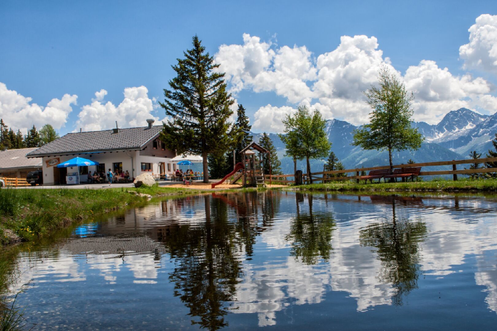
:Alpine pasture / hut / mountain restaurant
The Waalsteig trail has truly idyllic parts as it leads along a small brook. You can walk it with equal pleasure in both directions, this is one of the most popular trails, especially as a descent from the Steinegg and Kuh Alm.
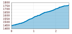
From the village (F010), head up the Sägegasse until just before the sawmill (F011), where you turn left. Shortly after, a field path (F012) begins on the right, which you follow across meadows, partly gently, partly more steeply uphill, until you reach the stream (F123, Waal). Here, the connecting path from the Sonnenbahn-Ladis (F015) joins the Waal Trail. The Waal Trail mostly runs beautifully between bushes and the stream. Just before the Lahnewald, the Waal Trail reaches a bend where it meets the road No. 9 (F119) to Kuhalm (F121) and No. 11 to Möseralm (F113). At the last meadows, a shortcut begins on the ski path (F120) to the right, through the forest, leading to Kuhalm (F121).
Fiss can be easily reached with the hiking bus line 221, which runs between Serfaus, Fiss and Ladis. Please get off at the Fiss Mittelschule stop.
If you are travelling from Ried, Prutz or Landeck, you can take the regular bus line 220.


.jpg")


.jpg")
.jpg")


")
