Wald 3

Arzl im Pitztal / Ötztal Alps
Route length: 1.8 km
Duration: 0:30 h

Tour information

  • Length: 1.8 km
  • Duration: 0:30 h
  • Elevation uphill:66 hm
  • Elevation downhill:66 hm
Highest point936 m

Starting point

Arzl/Wald car park by the church Wald

Finishing point

Arzl/Wald car park by the church Wald

Features

  • Wheelchair hike

Trail condition

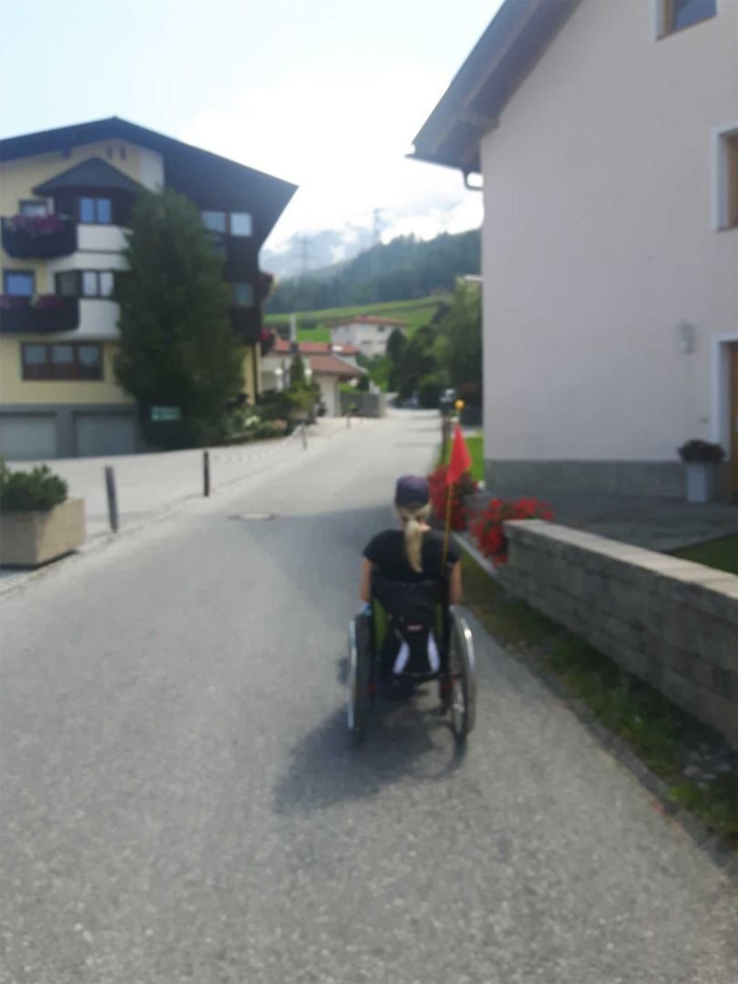
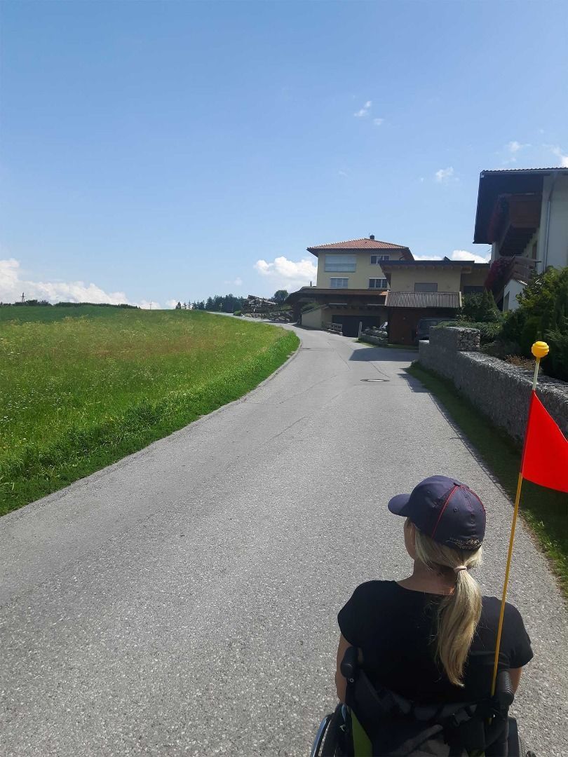
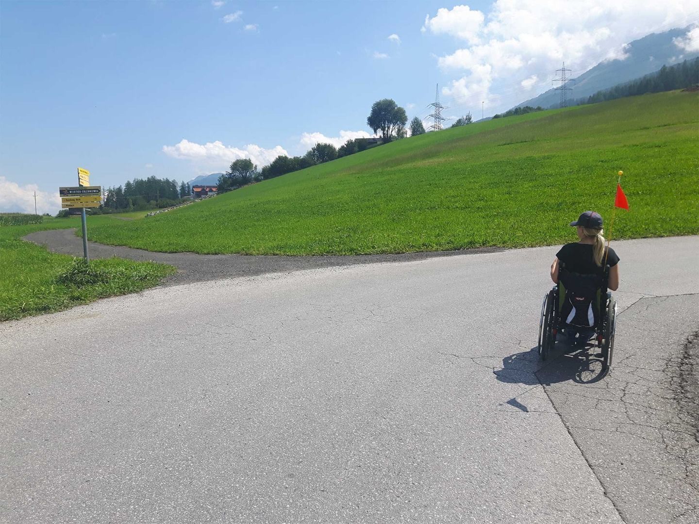
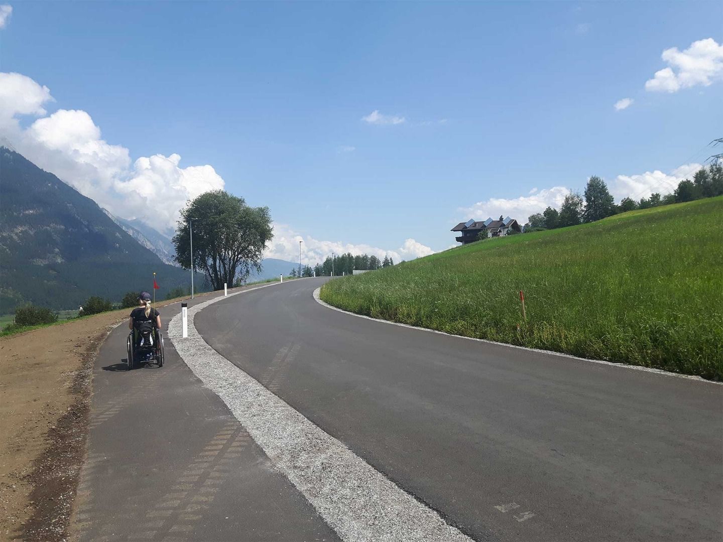
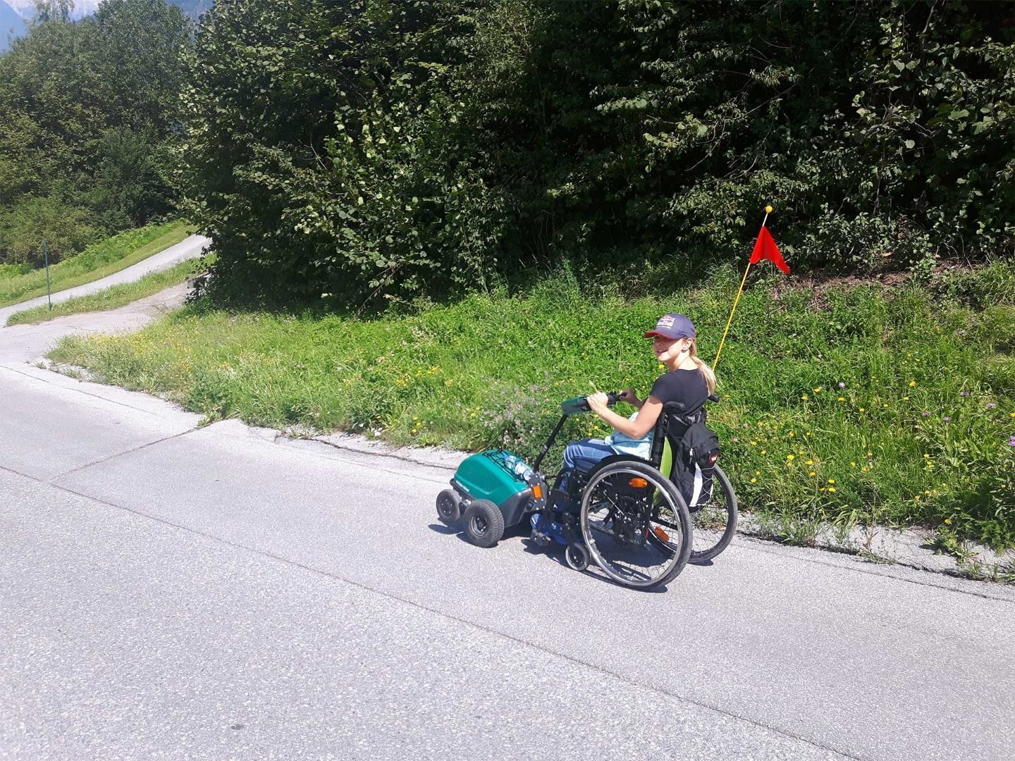
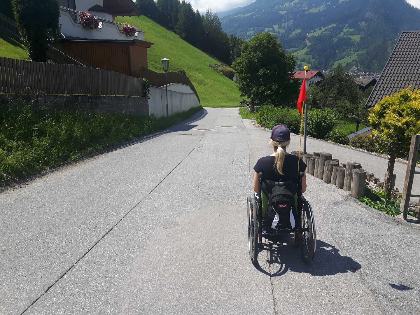
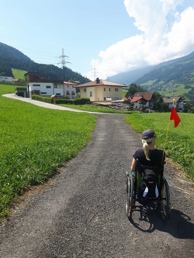
Asphalted road, but also dirt road, which is easy to drive on with the Swiss Trac.
Source: TVB Pitztal

Description

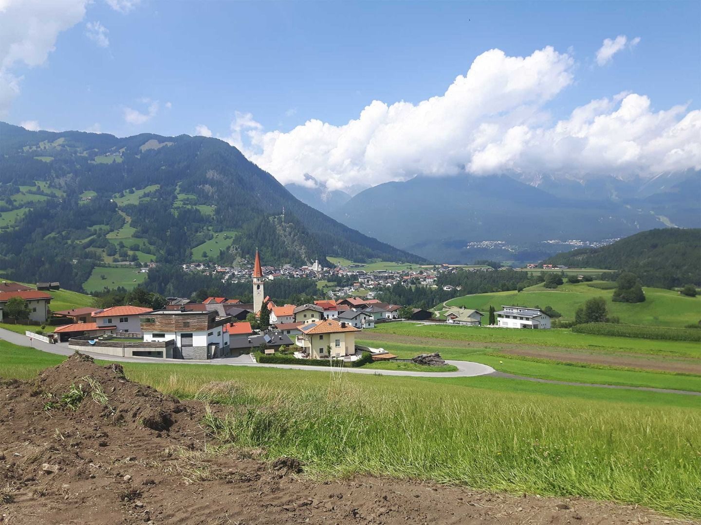
Swiss-Trac Tour:  Start: car park near the church. From there, follow a tarmac road uphill past the parish office in the direction of Wald Mairhof. Following the road for ca. 0.5 km take the turnoff to the left. From there, follow a tarmac pedestrian way alongside the road for the next 0.5 km to the hamlet of Wald Obermauri. At the next junction turn left and follow Kugelgasse downhill. After ca. 30 m turn left and follow the pavement, which will take you back to the road. Once there, return to the church.

Weather

Today

clear sky
8°C/-6°C
0%0l5 km/h

Sun

mainly clear
11°C/-2°C
45%1.2l5 km/h

Mon

light rain showers
8°C/3°C
55%1.6l5 km/h
Go to weather forecast

More tours in the surrounding area

Newsletter

The mountain is calling? So does our newsletter!

In our monthly newsletter we reveal the best holiday tips for Tyrol.