

Difficulty:medium
Length:7.2 kmDuration:5:00 hElevation uphill:580 m
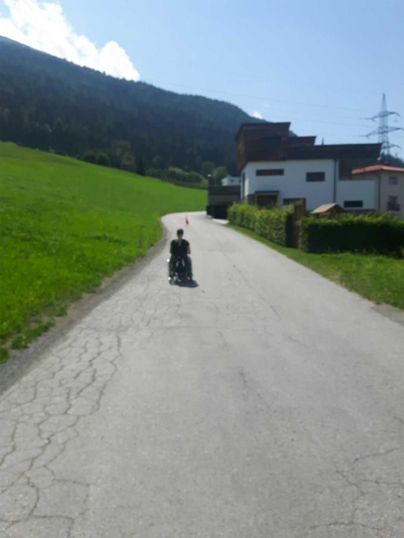
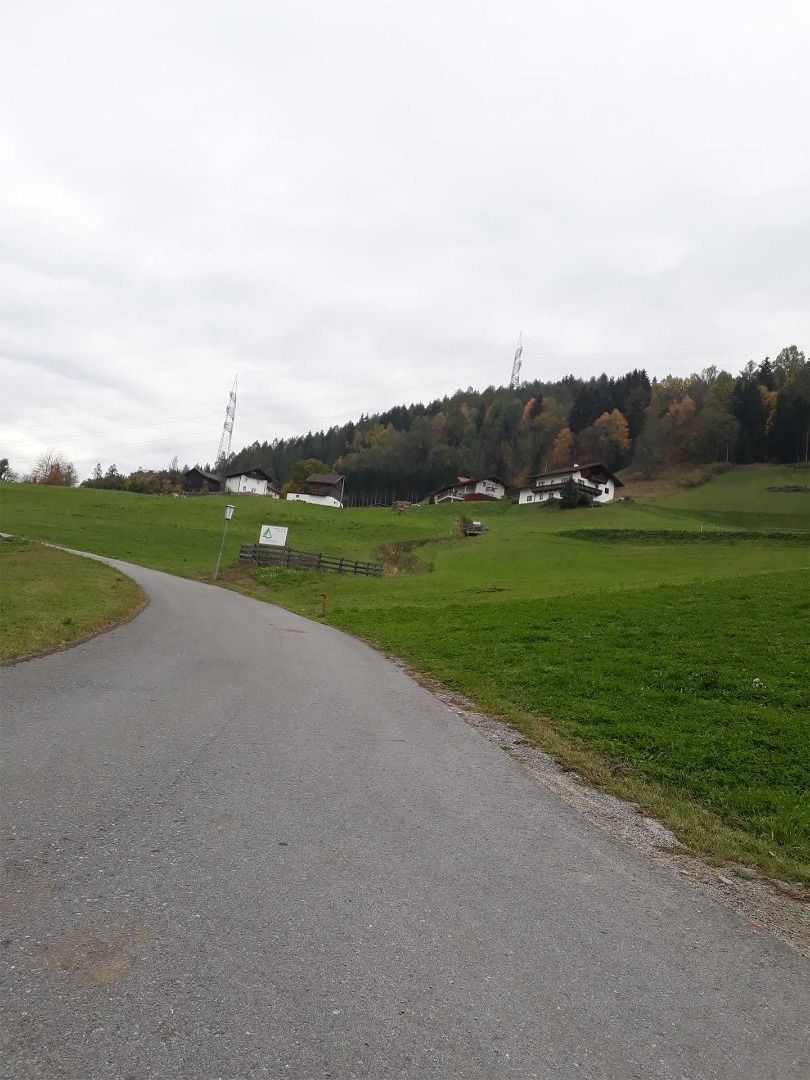
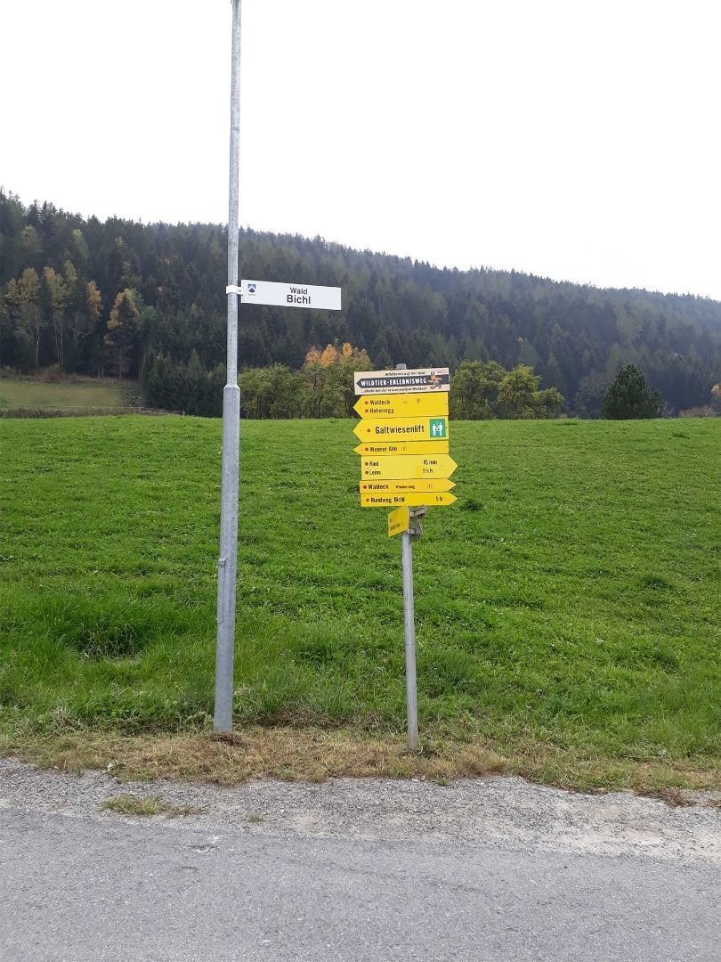
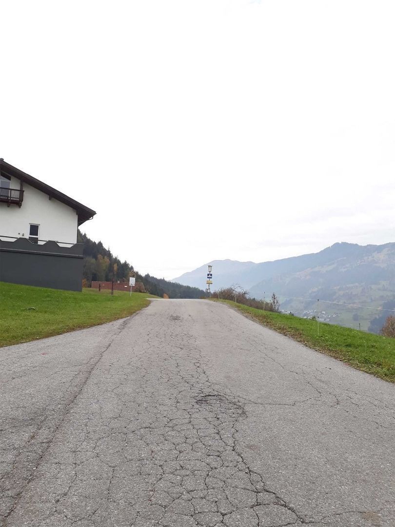
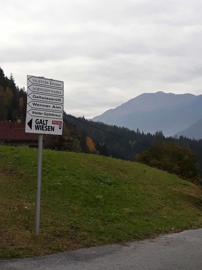
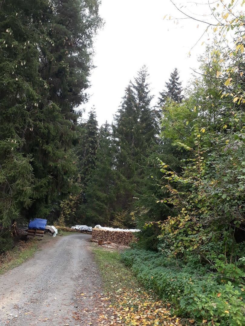
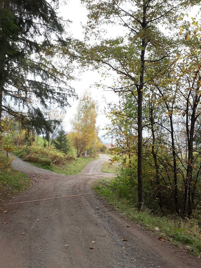
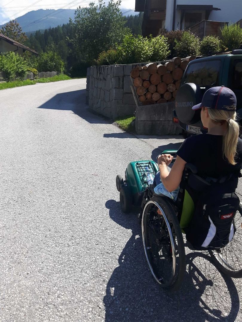
Swiss-Trac Tour: Start: car park by the church. From there, take the tarmac road uphill past the parish office in the direction of Wald Mairhof. After driving alongside the road for ca. 0.5 km you will reach a junction. We would recommend to continue following the main road straight on and to continue the route in this direction. The road is very wide and with little traffic. Pass the next group of houses in the direction of the restaurant “Jausenstation Waldeck”. The path continues uphill until a turnoff on the left leads into a gravel forest path. The next section is downhill on loose surface. After another bend and a few metres, the gravel path leads on to a tarmac road, which continues downhill in the direction of the hamlet of Wald Obermauri. After a few 100 metres you will reach a junction. Turn left and the next 0.5 km follow a tarmac pavement alongside the road. At the next turnoff, turn right and continue downhill until you complete this circular route at the starting point.


