Opening hours:Open today
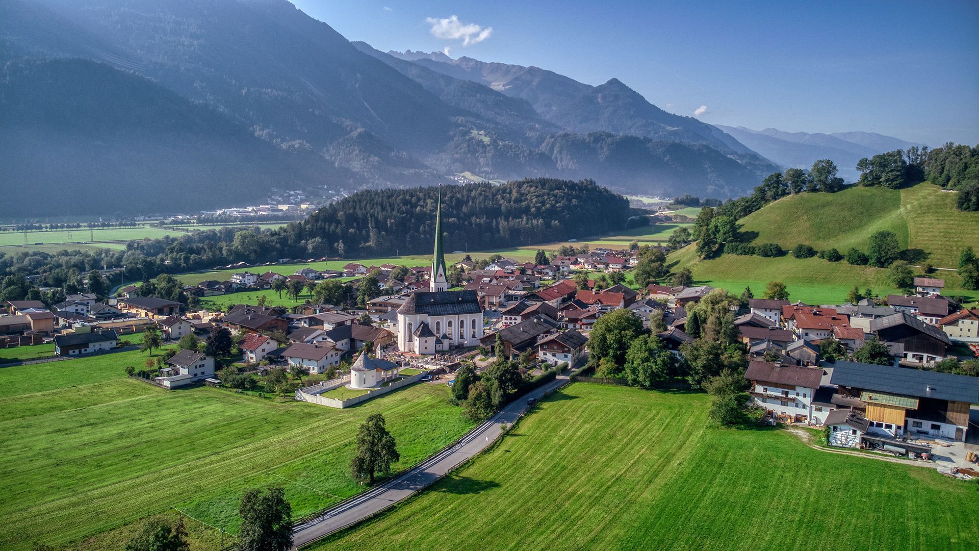
Place:Wiesing
:café:Breakfast
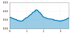
Easy circular route starting from the Wiesing parish church (3.5km, 90m elevation gain, ca. 1 hour). The path leads along forest paths to the quarry, with an optional detour to the viewing platform, before looping back to the starting point.
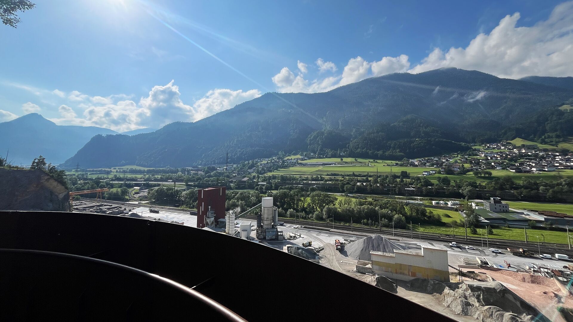
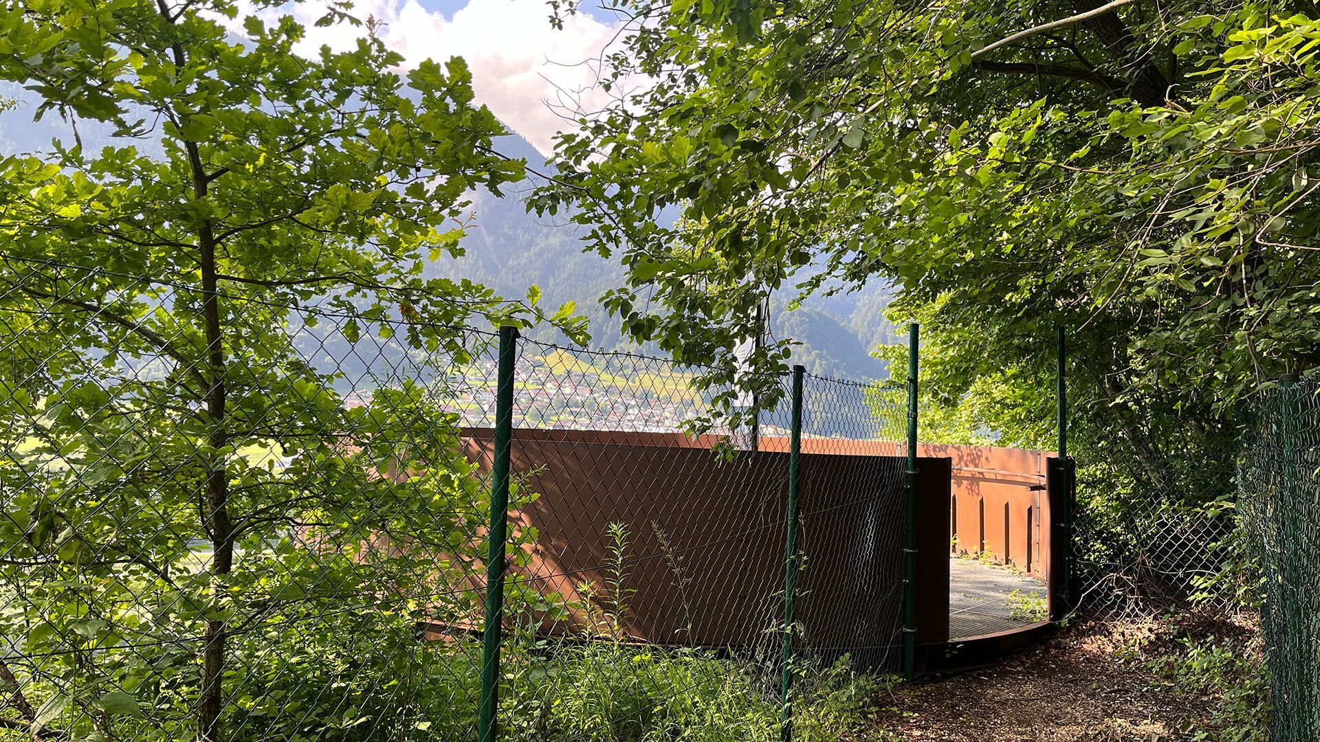
From the parish church Wiesing, the route follows the cycle and footpath in the direction of Rotholz. Just before the motorway underpass, turn right into the forest. Follow the path as it climbs gently, then walk over the forest ridge and along the forest path to the edge of the quarry. From the quarry, the trail descends in two hairpin bends. If you want to extend your hike, you can continue to the viewing platform south of the HTL school in Jenbach (about 10 minutes further). The return route runs along the northern edge of the Buchbergl forest back to Wiesing.
Take the regional bus (line 4080 or 8332) to the village centre of Wiesing and get off at the "Wiesing Dorf" stop.
Underground car park in the centre of Wiesing (paid parking)


.jpg")


.jpg")


.jpg")


