Arrival by public transport
Lines 210, 220, 273
Prutz Innbrücke stop
Moderately difficult trail run from Prutz to Kauns
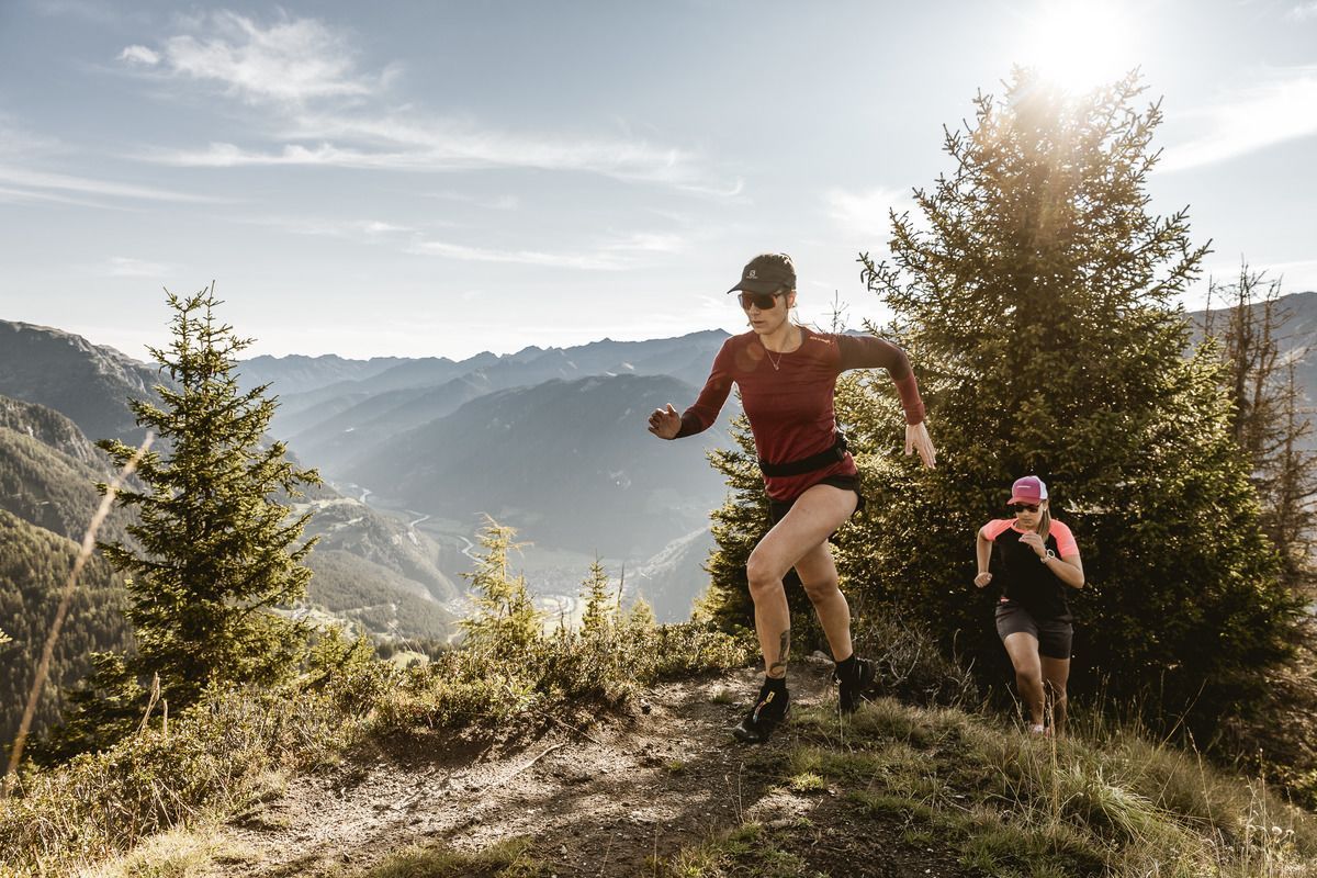
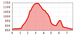
The tour runs from the crossing area of the Kaunertal road directly into the forest area towards Kaunertal and then crosses the Kaunertal road. The tour then continues on the other side of the road and crosses a wooden bridge to the other side of the Faggenbach. Pass the Fischerranch and head up to Kauns. In the center of Kauns, a small section continues directly along the village road before turning right uphill after the church. Afterwards the road continues in the direction of Auchtweg and then it goes on a forest road to Innergrufer. It goes on the left side back to Faggen and Prutz.
Lines 210, 220, 273
Prutz Innbrücke stop


 neu.jpg")


")

")


 (1).jpg")

.jpg")
