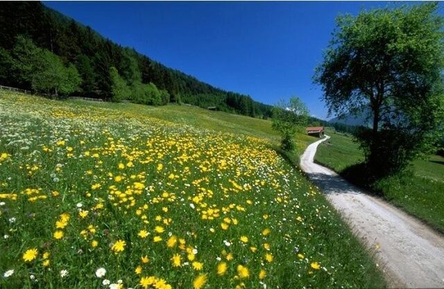
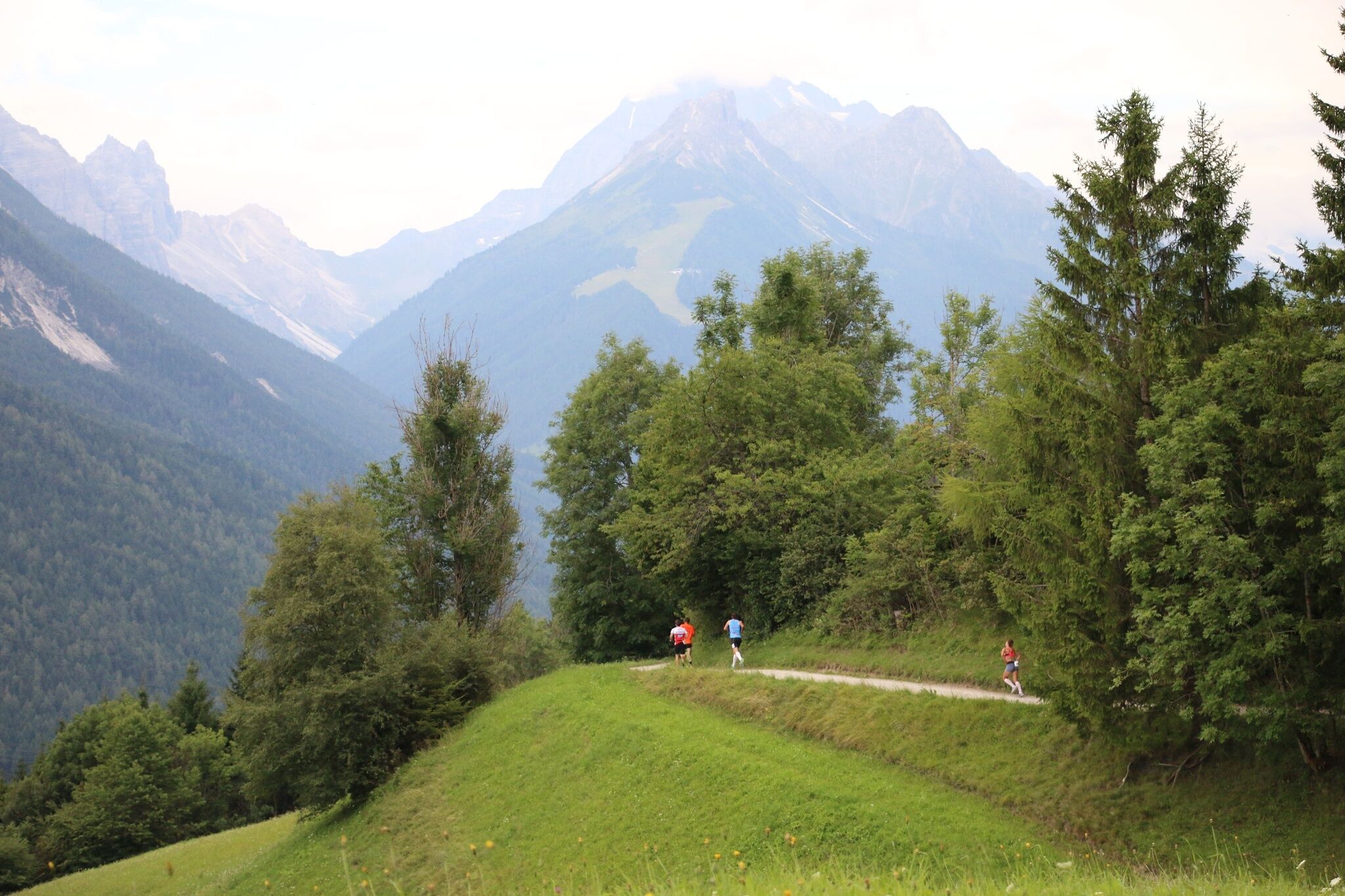
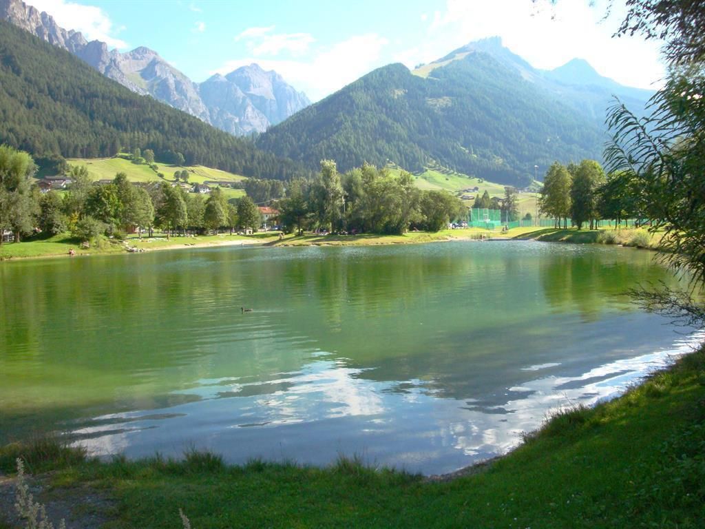
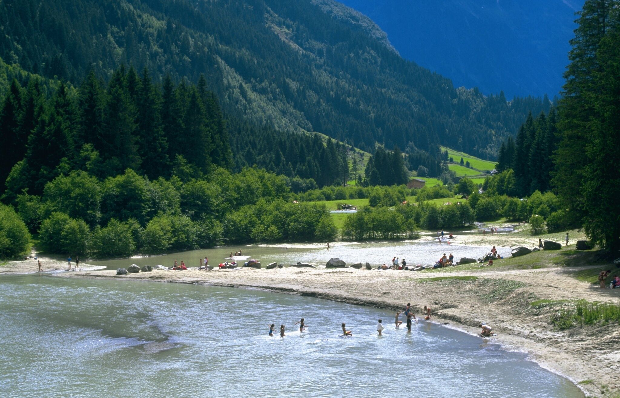
DescriptionVery long running course along the Stubai valley floor, many ups and downs, the course can also be run in the sections Stubai Run 1 - 5.
IseltrailDifficulty: medium Length: 75.3 km Duration: 24:30 h Elevation uphill: 2,348 m See trailSee trail: Iseltrail
Arzkasten winter hikeDifficulty: easy Length: 3.8 km Duration: 1:15 h Elevation uphill: 77 m Go to winter hikeGo to winter hike: Arzkasten winter hike
Badener HütteDifficulty: difficult Length: 23.2 km Duration: 11:30 h Elevation uphill: 1,750 m See trailSee trail: Badener Hütte
Carnic altitude trail. Stage 2: Sillianer Hütte- Obstansersee HütteDifficulty: medium Length: 8.7 km Elevation uphill: 503 m See trailSee trail: Carnic altitude trail. Stage 2: Sillianer Hütte- Obstansersee Hütte
Lucknerhaus - StüdlhütteDifficulty: medium Length: 9.3 km Duration: 5:30 h Elevation uphill: 862 m See trailSee trail: Lucknerhaus - Stüdlhütte
Hochfügen - Kleiner Gilfert (2388m) Walk no. 27Difficulty: medium Length: 14.4 km Duration: 6:00 h Elevation uphill: 925 m See trailSee trail: Hochfügen - Kleiner Gilfert (2388m) Walk no. 27
Hiking tour to Sudetendeutschen Hütte 2.650mDifficulty: medium Length: 15.5 km Duration: 7:00 h Elevation uphill: 1,200 m See trailSee trail: Hiking tour to Sudetendeutschen Hütte 2.650m
Carnic altitude trail. Stage 1: Arnbach - Sillianer HütteDifficulty: easy Length: 9.5 km Elevation uphill: 1,350 m See trailSee trail: Carnic altitude trail. Stage 1: Arnbach - Sillianer Hütte
Hike to the Berghaus AußergschlössDifficulty: easy Length: 5.2 km Duration: 1:45 h Elevation uphill: 170 m See trailSee trail: Hike to the Berghaus Außergschlöss
Lisi Osl TrailOpening hours: open Difficulty: medium Length: 2.3 km Duration: 0:20 h Go to biketourGo to biketour: Lisi Osl Trail
Mountainbike training parcoursDifficulty: easy Length: 500 m Duration: 0:07 h Elevation uphill: 12 m Go to biketourGo to biketour: Mountainbike training parcours
13 Zillertal-RadwegDifficulty: easy Length: 30.5 km Duration: 2:00 h Elevation uphill: 125 m Go to biketourGo to biketour: 13 Zillertal-Radweg
Biathlon centre competition and training trail ObertilliachOpening hours: closed Difficulty: difficult Length: 4.2 km Elevation uphill: 100 m : Style: Skating, Classic Go to Cross-country skiing trailGo to Cross-country skiing trail: Biathlon centre competition and training trail Obertilliach
Patscherkofel Schutzhaus Place: Igls Difficulty: medium Go to skitourGo to skitour: Patscherkofel Schutzhaus
Eichenhof Place: St. Johann in Tirol Difficulty: medium Length: 4 m Duration: 2:30 h Elevation uphill: 920 m Go to skitourGo to skitour: Eichenhof
Zams - Württemberger HausDifficulty: medium Length: 10.1 km Duration: 11:20 h Elevation uphill: 1,554 m See trailSee trail: Zams - Württemberger Haus
Carnic altitude trail. Stage 3: Obstansersee Hütte – PorzehütteDifficulty: medium Length: 11.3 km Duration: 6:00 h Elevation uphill: 650 m See trailSee trail: Carnic altitude trail. Stage 3: Obstansersee Hütte – Porzehütte
Angerer AlmDifficulty: medium Length: 5.7 km Duration: 2:45 h Elevation uphill: 652 m See trailSee trail: Angerer Alm
Cross country ski trail Schmirn KasernOpening hours: closed Difficulty: easy Length: 4.0 km Duration: 0:56 h Elevation uphill: 38 m : Style: Classic Go to Cross-country skiing trailGo to Cross-country skiing trail: Cross country ski trail Schmirn Kasern
Hike to LaponesalmDifficulty: easy Length: 6.2 km Duration: 2:00 h Elevation uphill: 242 m See trailSee trail: Hike to Laponesalm
Give feedback for a chance to win a special holiday experience!Click here for the surveyClick here for the survey