Open interactive mapOpen this POI on the interactive mapElevation profiledownloadOberau - Riedlhof.gpx
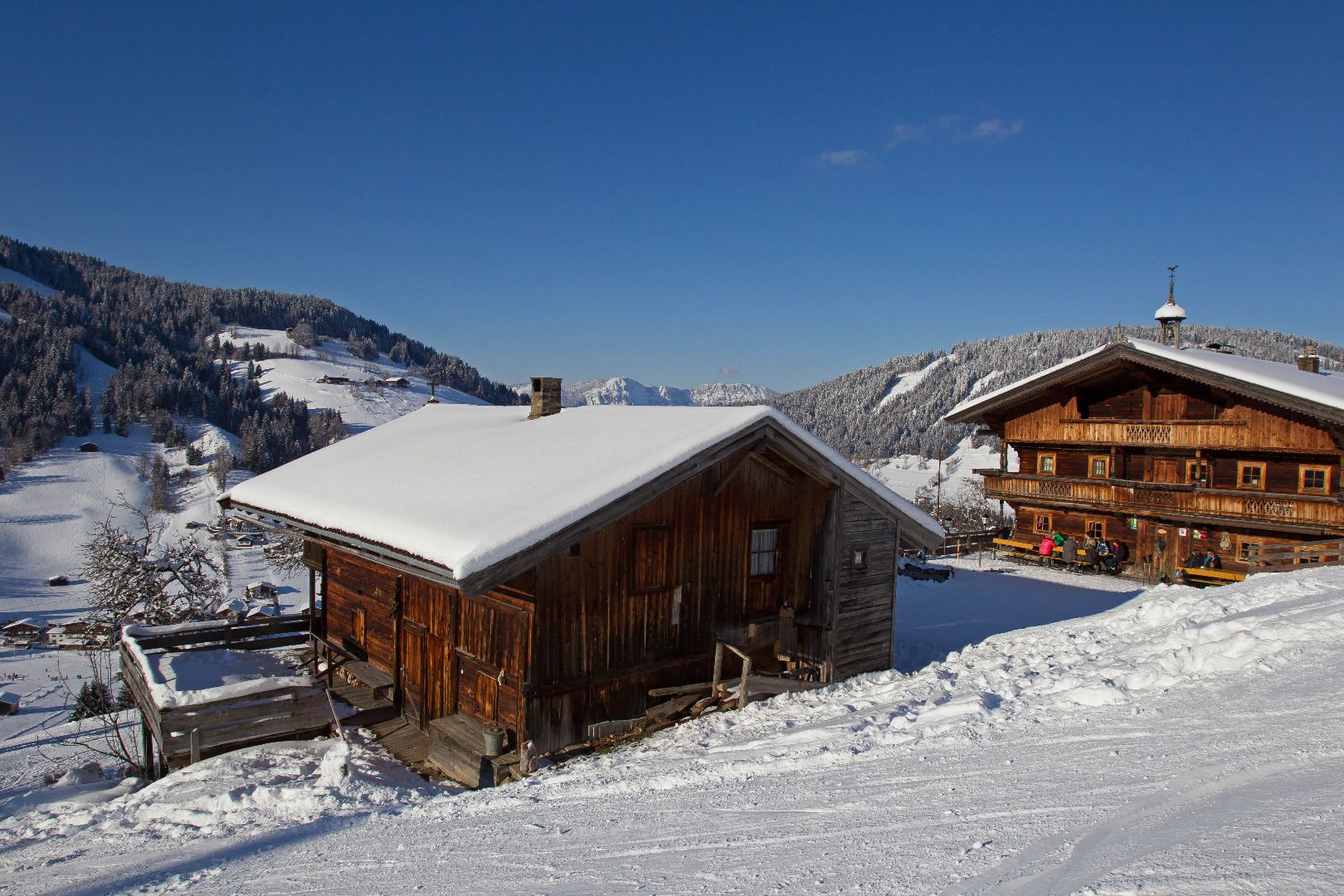
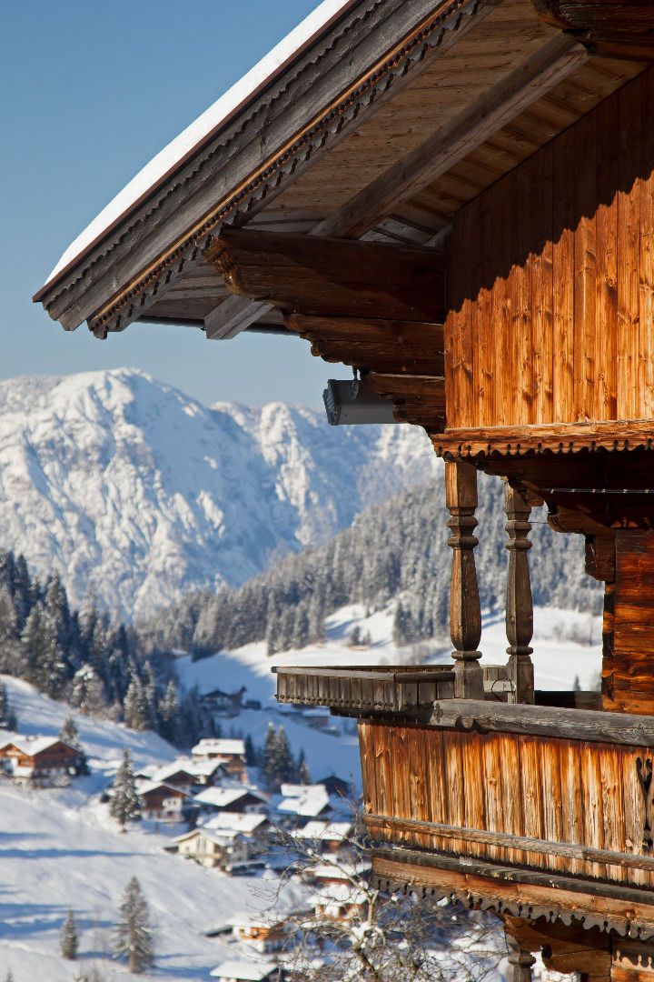
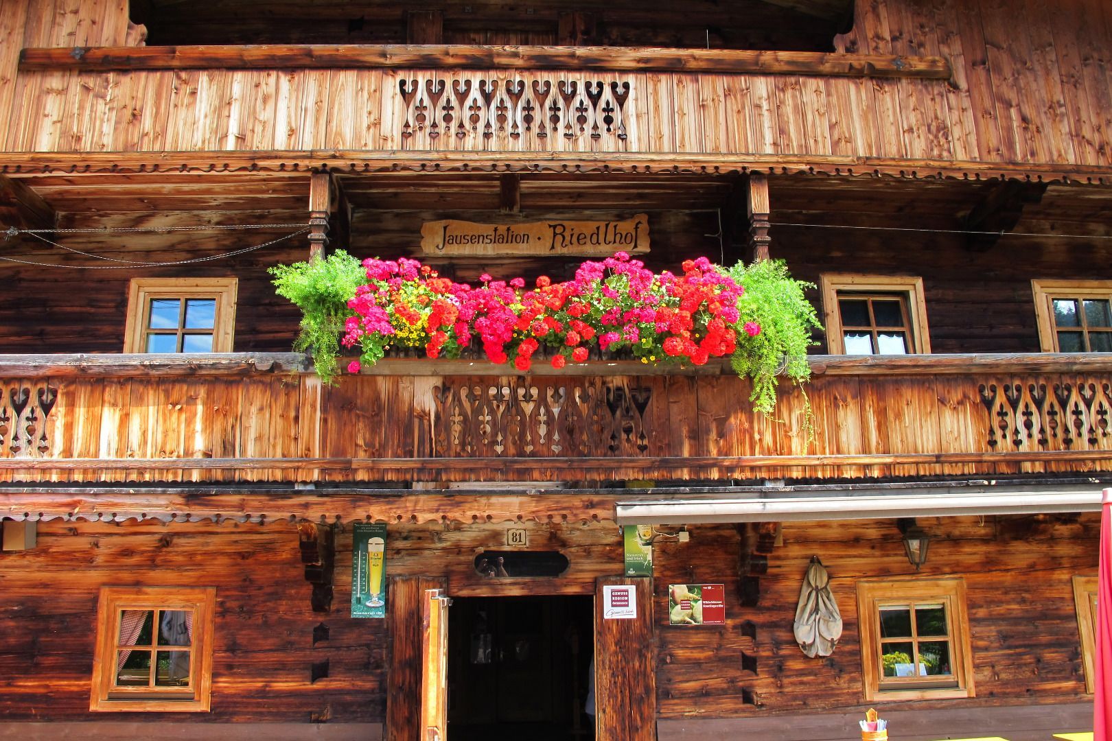
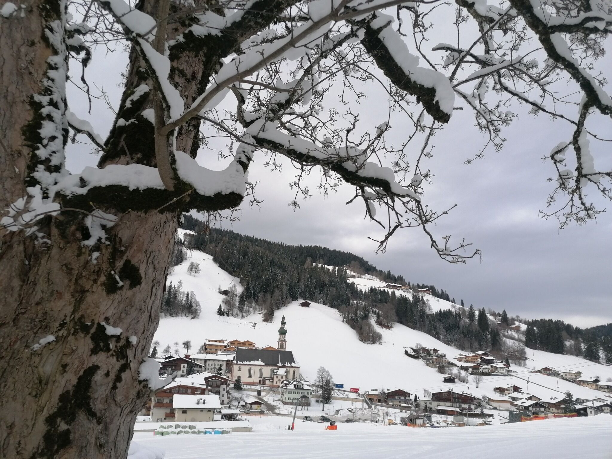
DescriptionStart in Oberau village centre and walk up behind the Hotel Tirolerhof on the forest path to the lovely Riedlhof Hut (famous for it's giant Wiener Schnitzel).
Winter- und Schneeschuhwandern (c) Mirja Geh (26).jpg © Mirja Geh At the foot of Fleischbank and TotenkirchlDifficulty:easyLength:9.3 kmDuration:3:00 hElevation uphill:250 mGo to winter hikeGo to winter hike: At the foot of Fleischbank and Totenkirchl
Frauenseestube Luftbild © Robert Eder Winter Hike to Lake Frauensee from LechaschauDifficulty:easyLength:7.2 kmDuration:2:30 hElevation uphill:122 mGo to winter hikeGo to winter hike: Winter Hike to Lake Frauensee from Lechaschau
Ehenbichler Alm © Robert Eder, Naturparkregion Reutte Winter walk to the Ehenbichler Alm hutDifficulty:difficultLength:6.5 kmDuration:4:00 hElevation uphill:640 mGo to winter hikeGo to winter hike: Winter walk to the Ehenbichler Alm hut
Winterwandern in der Naturparkregion Reutte © Peter Neusser Hike to the Ehrenberg castle ruinsDifficulty:mediumLength:5.1 kmDuration:1:45 hElevation uphill:237 mGo to winter hikeGo to winter hike: Hike to the Ehrenberg castle ruins
Vilser Alm im Winter © Robert Eder Winter walk to the Vilser Alm hutDifficulty:mediumLength:6.6 kmDuration:2:30 hElevation uphill:348 mGo to winter hikeGo to winter hike: Winter walk to the Vilser Alm hut
Bergdoktor-Winter Hiking TrailDifficulty:easyLength:2.1 kmDuration:0:45 hElevation uphill:40 mGo to winter hikeGo to winter hike: Bergdoktor-Winter Hiking Trail
Ellmau_Hartkaiserbahn Winter_Wilder Kaiser © TVB Wilder Kaiser/Mathäus Gartner Hartkaiser - Tanzbodensee Winter LoopOpening hours:closedLength:6.6 kmDuration:2:30 hElevation uphill:25 mGo to winter hikeGo to winter hike: Hartkaiser - Tanzbodensee Winter Loop
Path of Lights on the Seefeld Parish Hill © Region Seefeld 100.000 Lights PathOpening hours:openDifficulty:easyLength:1.8 kmDuration:0:30 hElevation uphill:30 mGo to winter hikeGo to winter hike: 100.000 Lights Path
Wildschönau Thierbach Kirche Winter.jpg © Wildschönau Tourismus FG Dabernig Hannes Around the Thierbach HilltopDifficulty:mediumLength:5.5 kmDuration:2:00 hElevation uphill:162 mGo to winter hikeGo to winter hike: Around the Thierbach Hilltop
Winter hiking Fieberbrunn - Zillstatt - StreubödenOpening hours:closedDifficulty:mediumLength:13.0 kmDuration:4:30 hElevation uphill:550 mGo to winter hikeGo to winter hike: Winter hiking Fieberbrunn - Zillstatt - Streuböden
Alpbach Winter © Simon Oberleiter Upper high path Alpbach - InneralpbachDifficulty:easyLength:7.0 kmDuration:2:10 hElevation uphill:291 mGo to winter hikeGo to winter hike: Upper high path Alpbach - Inneralpbach
Alpbach Dorfblick von der Neader © Alpbachtal Tourismus / Matthias Sedlak Middle High Trail Alpbach (Year-round hiking trail)Difficulty:difficultLength:8.9 kmDuration:3:15 hElevation uphill:313 mGo to winter hikeGo to winter hike: Middle High Trail Alpbach (Year-round hiking trail)
Wildschönau Niederau Foisching © Hannes Dabernig Niederau - Foisching HutDifficulty:easyLength:6.5 kmDuration:2:15 hElevation uphill:253 mGo to winter hikeGo to winter hike: Niederau - Foisching Hut
Wildschönau Niederau Markbachjoch Winter Kapelle.jpg © Wildschönau Tourismus Winterwanderung Markbachjoch - NiederauDifficulty:mediumLength:10.5 kmDuration:4:00 hElevation uphill:56 mGo to winter hikeGo to winter hike: Winterwanderung Markbachjoch - Niederau
Schneeschuhwanderung © Bernd Ritschel Circular hiking trail Horlachtal - NiederthaiOpening hours:closedDifficulty:easyLength:6.9 kmDuration:2:00 hElevation uphill:233 mGo to winter hikeGo to winter hike: Circular hiking trail Horlachtal - Niederthai
Evening winter hike Kleinmutzkopf, NaudersDifficulty:easyLength:6.0 kmDuration:2:00 hElevation uphill:70 mGo to winter hikeGo to winter hike: Evening winter hike Kleinmutzkopf, Nauders
Winter walk Schwarzer See, NaudersDifficulty:easyLength:10.5 kmDuration:3:30 hElevation uphill:255 mGo to winter hikeGo to winter hike: Winter walk Schwarzer See, Nauders
Franzlhof in Winter © eafoto.at Snow crystal circuit Opening hours:closedDifficulty:easyLength:6.8 kmDuration:2:30 hElevation uphill:100 mGo to winter hikeGo to winter hike: Snow crystal circuit
Winter hiking Hochfilzen - HoametzlhütteDifficulty:mediumLength:8.1 kmDuration:2:45 hElevation uphill:222 mGo to winter hikeGo to winter hike: Winter hiking Hochfilzen - Hoametzlhütte
Winter hike St. Ulrich a.P. Lake circuit - AdolariDifficulty:easyLength:5.0 kmDuration:1:15 hGo to winter hikeGo to winter hike: Winter hike St. Ulrich a.P. Lake circuit - Adolari
Winter walk at Rauher Kopf, Kirchberg in TirolDifficulty:mediumLength:13.0 kmDuration:5:00 hElevation uphill:600 mGo to winter hikeGo to winter hike: Winter walk at Rauher Kopf, Kirchberg in Tirol
PlaTo Gemeinde Kirchdorf Landschaft Winter-21.jpg © Thomas Plattner Scenic River Trail GroßacheDifficulty:easyLength:14.3 kmDuration:3:30 hElevation uphill:20 mGo to winter hikeGo to winter hike: Scenic River Trail Großache
Swimming Lake_Going_Winter_2 © TVB Wilder Kaiser / Susanne Wallner Prama winter circuitOpening hours:closedLength:7.9 kmDuration:3:00 hElevation uphill:80 mGo to winter hikeGo to winter hike: Prama winter circuit
Winterwandern Winter Schnee © Oliver Soulas / Tirol Werbung Premium winter hiking trail - panoramic trailDifficulty:easyLength:4.2 kmDuration:1:30 hElevation uphill:40 mGo to winter hikeGo to winter hike: Premium winter hiking trail - panoramic trail
Ellmau_Biedringer Platte_Winterwanderung_Wilder Kaiser © TVB Wilder Kaiser/Maria Luise Handl Winter walking Biedringer PlatteOpening hours:closedLength:12.7 kmDuration:5:30 hElevation uphill:470 mGo to winter hikeGo to winter hike: Winter walking Biedringer Platte
Give feedback for a chance to win a special holiday experience!Click here for the surveyClick here for the survey