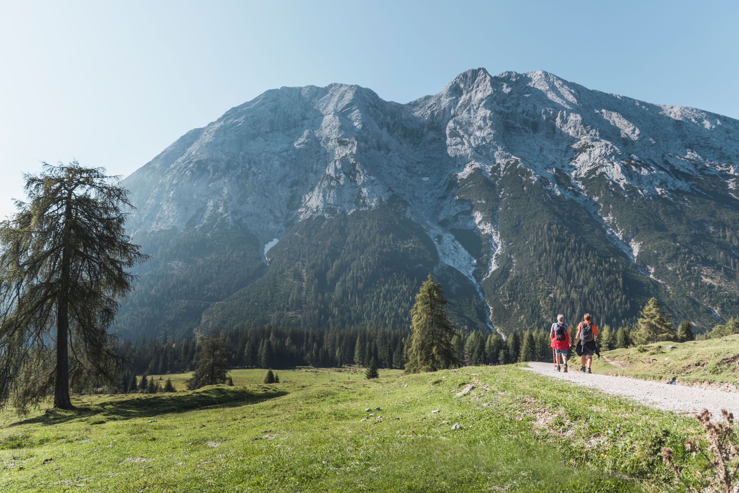
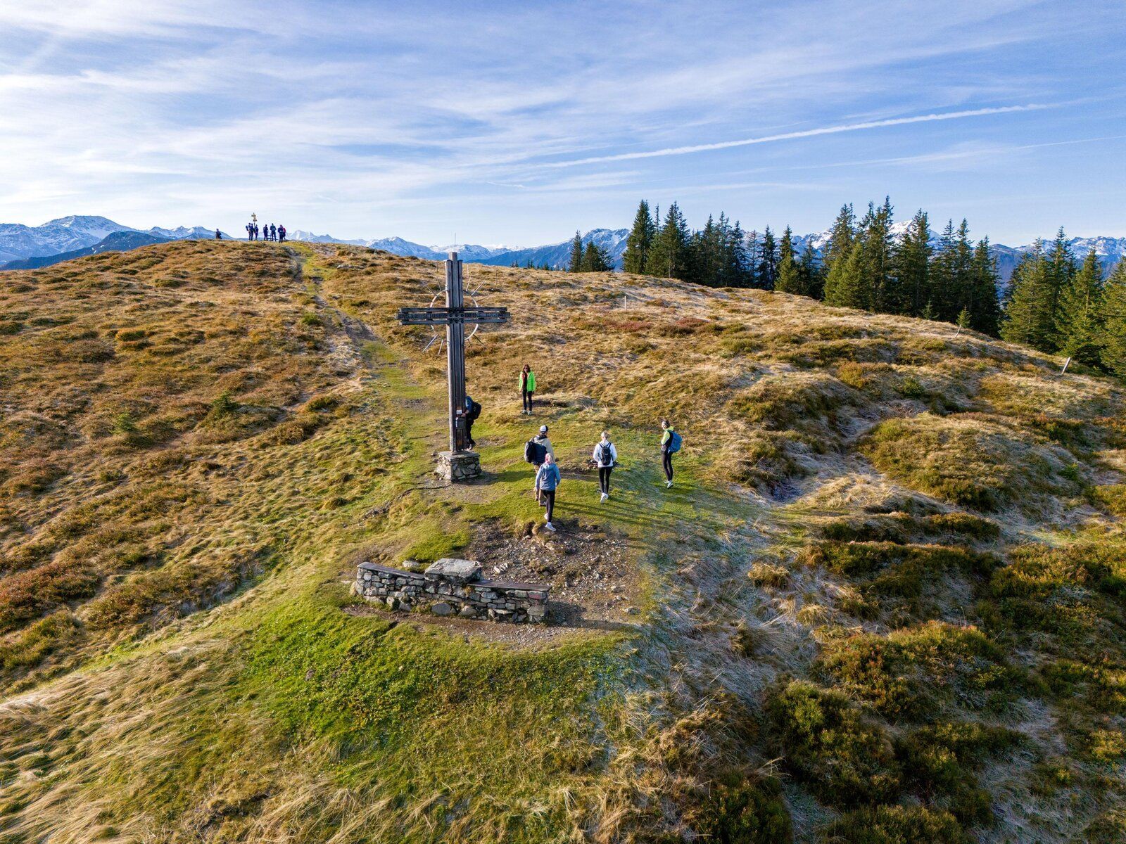
![© Lorenz Seiwald / W9 studios © Lorenz Seiwald / W9 studios](https://www.tyrol.com/images/xbu!qho9mjg-/wandern-in-mayrhofen.jpg)
Hikes in Mayrhofen
![Summit hike to the Ahornspitze, © Bernd Ritschel Summit hike to the Ahornspitze, © Bernd Ritschel](https://www.tyrol.com/images/pu9rtweikyw-/summit-hike-to-the-ahornspitze.jpg)
on mapAhornspitze
Summit hikes
Starting point: Top of Ahornbahn cable car (1,955 metres) / Mayrhofen
Length: 11km
Elevation uphill: 1,045m
Total hiking time: 6 h 30 min
Difficulty rating: difficult (black trails)
![The Berliner Hütte hut, © Tirol Werbung / Schwarz Jens The Berliner Hütte hut, © Tirol Werbung / Schwarz Jens](https://www.tyrol.com/images/tdwljcxtghe-/die-berliner-huette.jpg)
on mapBerlin High Trail
Long Distance Path
Starting point: Finkenberg / Gamshütte hut
Length: 86km
Elevation uphill: 6,605m
Duration: 8 day(s)
Difficulty rating: difficult (black trails)
![At the top of the Filzenkogel mountain At the top of the Filzenkogel mountain](https://www.tyrol.com/images/rvtkodkdtqo-/op-de-top-van-de-filzenkogel.jpg)
on mapFilzenkogel
Summit hikes
Starting point: Top of Ahornbahn cable car
Length: 3km
Elevation uphill: 267m
Total hiking time: 1 h 30 min
Difficulty rating: easy (hiking trails)
![Day 2: Blaubergalm hut in Achenkirch, © Georg Pawlata Day 2: Blaubergalm hut in Achenkirch, © Georg Pawlata](https://www.tyrol.com/images/6aindy2w7j8-/etappe-2-blaubergalm-in-achenkirch.jpg)
on mapThe Trans-Alpine Crossing
Long Distance Path
Starting point: Gmund at Tegernsee lake, Germany: Blaubergalm (Achenkirch)
Length: 110km
Elevation uphill: 3,300m
Duration: 7 day(s)
Difficulty rating: intermediate (red mountain trails)