
Arrival by public transport
Take the regional bus (line 4080 to Achenkirch, change to line 7801 to Steinberg) to the Rofanlifte II car park in Steinberg am Rofan. Get off at the "Steinberg a. R. Rofanlift II" stop.
6.3km running route through Steinberg with 200 metres of elevation gain, passing through the village and the shaded Bärenwald forest section.
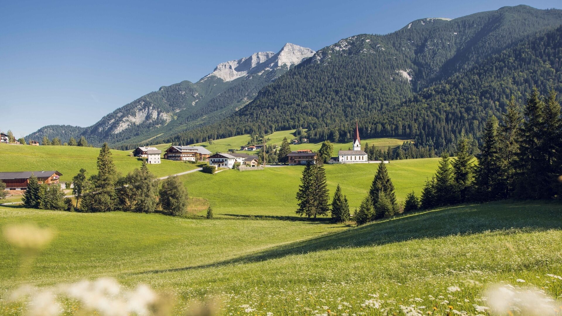
From the car park of the Rofan lifts II, the moderately difficult tour leads slightly uphill through the village of Steinberg, past the parish church and along the village street. After a junction, you return to the starting point via a beautiful forest path.
Take the regional bus (line 4080 to Achenkirch, change to line 7801 to Steinberg) to the Rofanlifte II car park in Steinberg am Rofan. Get off at the "Steinberg a. R. Rofanlift II" stop.
From the Achensee main road (B181) in Achenkirch, turn off towards Steinberg am Rofan. Follow the L221 Steinberg state road for about 9km until you reach the village. Keep right and continue past the parish church and the Dorfhaus inn until you reach the car park for the Rofan lifts II.
Rofan lifts II car park in Steinberg am Rofan (paid parking)


