Open interactive mapOpen this POI on the interactive mapElevation profiledownloadHiking guide - Georg Weihs Bergsportschule Kitzalps Guide.gpx
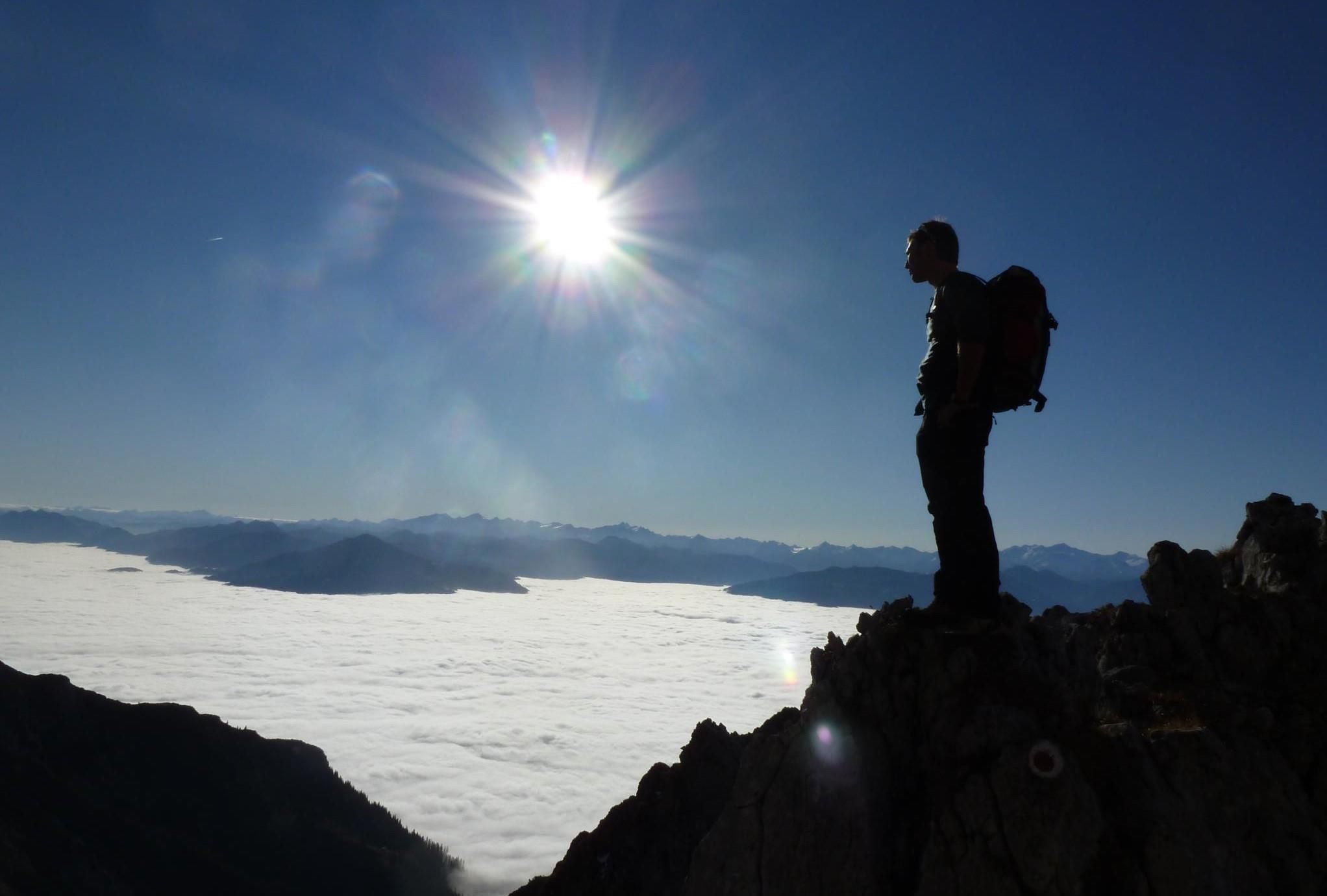
DescriptionMountain sports guide, high ropes course guide, certified ski instructor and ski guide. We guide you on the most beautiful tours through our mountains. Summer and winter programme.
Winter- und Schneeschuhwandern (c) Mirja Geh (26).jpg © Mirja Geh At the foot of Fleischbank and TotenkirchlDifficulty:easyLength:9.3 kmDuration:3:00 hElevation uphill:250 mGo to winter hikeGo to winter hike: At the foot of Fleischbank and Totenkirchl
Wandern Bettlersteig Kaistertal Naturerlebnis Kaisergebirge © Thomas Laukat 2-Day High-Altitude Tour around Kaisertal - Stage 2Difficulty:mediumLength:12.1 kmDuration:5:30 hElevation uphill:700 mSee trailSee trail: 2-Day High-Altitude Tour around Kaisertal - Stage 2
Bergbahn Pillersee - Flecken - BuchensteinwandDifficulty:mediumLength:6.0 kmElevation uphill:596 mSee trailSee trail: Bergbahn Pillersee - Flecken - Buchensteinwand
Summit Hike to Lodron from Gasthof JägerhäuslDifficulty:mediumLength:20.0 kmDuration:8:30 hElevation uphill:1,125 mSee trailSee trail: Summit Hike to Lodron from Gasthof Jägerhäusl
OD Trails Oberndorf in Tirol 5.jpg © Mirja Geh OD TrailsOpening hours:closedDifficulty:mediumGo to biketourGo to biketour: OD Trails
Kaiserbachtal (c) Sportalpen (21).jpg © Sportalpen Alpine Outdoor GalleryDifficulty:easyLength:6.7 kmDuration:2:00 hElevation uphill:117 mSee trailSee trail: Alpine Outdoor Gallery
MG_St_Johann_0192.JPG © Mirja Geh Schnackler Adventure TrailDifficulty:easyLength:3.8 kmDuration:0:45 hElevation uphill:132 mSee trailSee trail: Schnackler Adventure Trail
web-wilder-kaiser-bergdoktorpraxis-ellmaul-sommer2022-mathaeusgartner-2©mathaeusgartner © Mathäus Gartner Wilder Kaiser cycle route no. 14Difficulty:mediumLength:38.3 kmElevation uphill:520 mGo to biketourGo to biketour: Wilder Kaiser cycle route no. 14
Eifersbacher Wasserfall Region St. Johann in Tirol Wandern Sommer © Sportalpen Eifersbacher WasserfallDifficulty:mediumLength:5.9 kmDuration:2:30 hElevation uphill:241 mSee trailSee trail: Eifersbacher Wasserfall
Niederkaiser Region St. Johann in Tirol © Franz Gerdl Niederkaiser with waterfall SchleierwasserfallDifficulty:mediumLength:16.1 kmDuration:7:00 hElevation uphill:954 mSee trailSee trail: Niederkaiser with waterfall Schleierwasserfall
The WiegalmDifficulty:mediumLength:10.5 kmDuration:4:45 hElevation uphill:680 mSee trailSee trail: The Wiegalm
Labalm KirchbergDifficulty:mediumLength:26.0 kmDuration:3:00 hElevation uphill:450 mGo to biketourGo to biketour: Labalm Kirchberg
BrixenbachalmDifficulty:mediumLength:4.4 kmDuration:3:30 hElevation uphill:290 mSee trailSee trail: Brixenbachalm
BrechhornDifficulty:mediumLength:11.8 kmDuration:5:00 hElevation uphill:600 mSee trailSee trail: Brechhorn
Round tour SpießnägelDifficulty:mediumLength:15.7 kmDuration:6:30 hElevation uphill:859 mSee trailSee trail: Round tour Spießnägel
Winter walk at Rauher Kopf, Kirchberg in TirolDifficulty:mediumLength:13.0 kmDuration:5:00 hElevation uphill:600 mGo to winter hikeGo to winter hike: Winter walk at Rauher Kopf, Kirchberg in Tirol
Region-Hohe-Salve-Gravel-Bike-07-2025-Fotograf-Stefan-Ringler-Web-09.jpg © Stefan Ringler SalvenaradrundeDifficulty:mediumLength:62.7 kmDuration:3:30 hElevation uphill:648 mGo to biketourGo to biketour: Salvenaradrunde
Käsealm Straubing © Ferienregion Hohe Salve Käsealm Straubing past WindauDifficulty:mediumLength:19.8 kmDuration:2:30 hElevation uphill:270 mGo to biketourGo to biketour: Käsealm Straubing past Windau
Sonnenaufgang am ersten Wildalmsee in der Kelchsau © Christina Ehammer SchafsiedelDifficulty:mediumLength:15.6 kmDuration:7:00 hElevation uphill:1,280 mSee trailSee trail: Schafsiedel
PlaTo Gemeinde Kirchdorf Landschaft Winter-21.jpg © Thomas Plattner Scenic River Trail GroßacheDifficulty:easyLength:14.3 kmDuration:3:30 hElevation uphill:20 mGo to winter hikeGo to winter hike: Scenic River Trail Großache
St_Johann23©MirjaGeh_2817.jpg © Mirja Geh Flusserlebnisweg GroßacheDifficulty:easyLength:3.2 kmDuration:0:30 hElevation uphill:20 mGo to biketourGo to biketour: Flusserlebnisweg Großache
E-BikeMirjaGeh_102.jpg © Mirja Geh BichlachrundeDifficulty:easyLength:10.5 kmDuration:3:30 hElevation uphill:295 mSee trailSee trail: Bichlachrunde
Sonnenuntergang Wandern Herbst Möslalm Wörgl 2022@Region Hohe Salve - Mathäus Gartner (21).jpg © Mathäus Gartner Möslalmkogel via WörglDifficulty:mediumLength:10.3 kmDuration:3:30 hElevation uphill:580 mSee trailSee trail: Möslalmkogel via Wörgl
St. Johann, Angerer Alm_Tirol Werbung_Bauer Frank_Sankt Johann in Tirol (1) © Tirol Werbung | Frank Bauer Angereralm - HarschbichlDifficulty:mediumLength:18.2 kmDuration:2:00 hElevation uphill:942 mGo to biketourGo to biketour: Angereralm - Harschbichl
Region-Hohe-Salve-Gravel-Bike-07-2025-Fotograf-Stefan-Ringler.jpg © Region Hohe Salve - Stefan Ringler Brixental cycling tour Nr. 21Difficulty:easyLength:46.7 kmDuration:3:30 hElevation uphill:450 mGo to biketourGo to biketour: Brixental cycling tour Nr. 21
Give feedback for a chance to win a special holiday experience!Click here for the surveyClick here for the survey