Arrival by public transport
www.vvt.at, bus no. 760
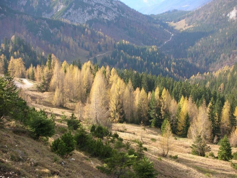
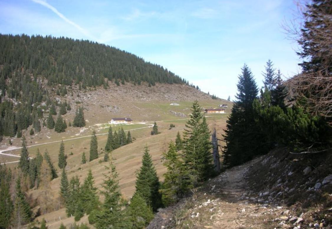
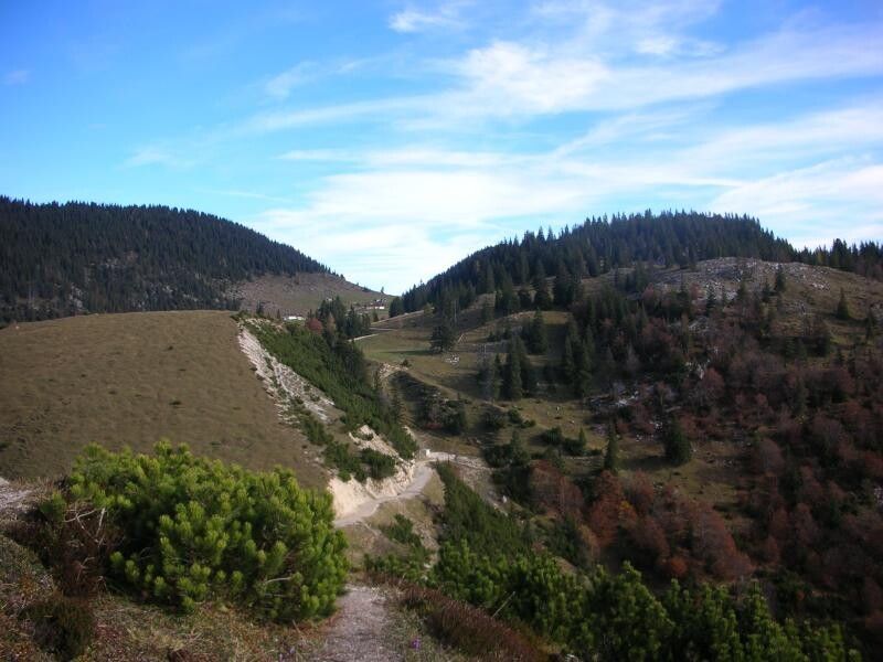
Varied route past four Alms (high pasture huts)
Surefootedness required, especially on the descent.
Sturdy footwear, protective clothing, something to eat and drink
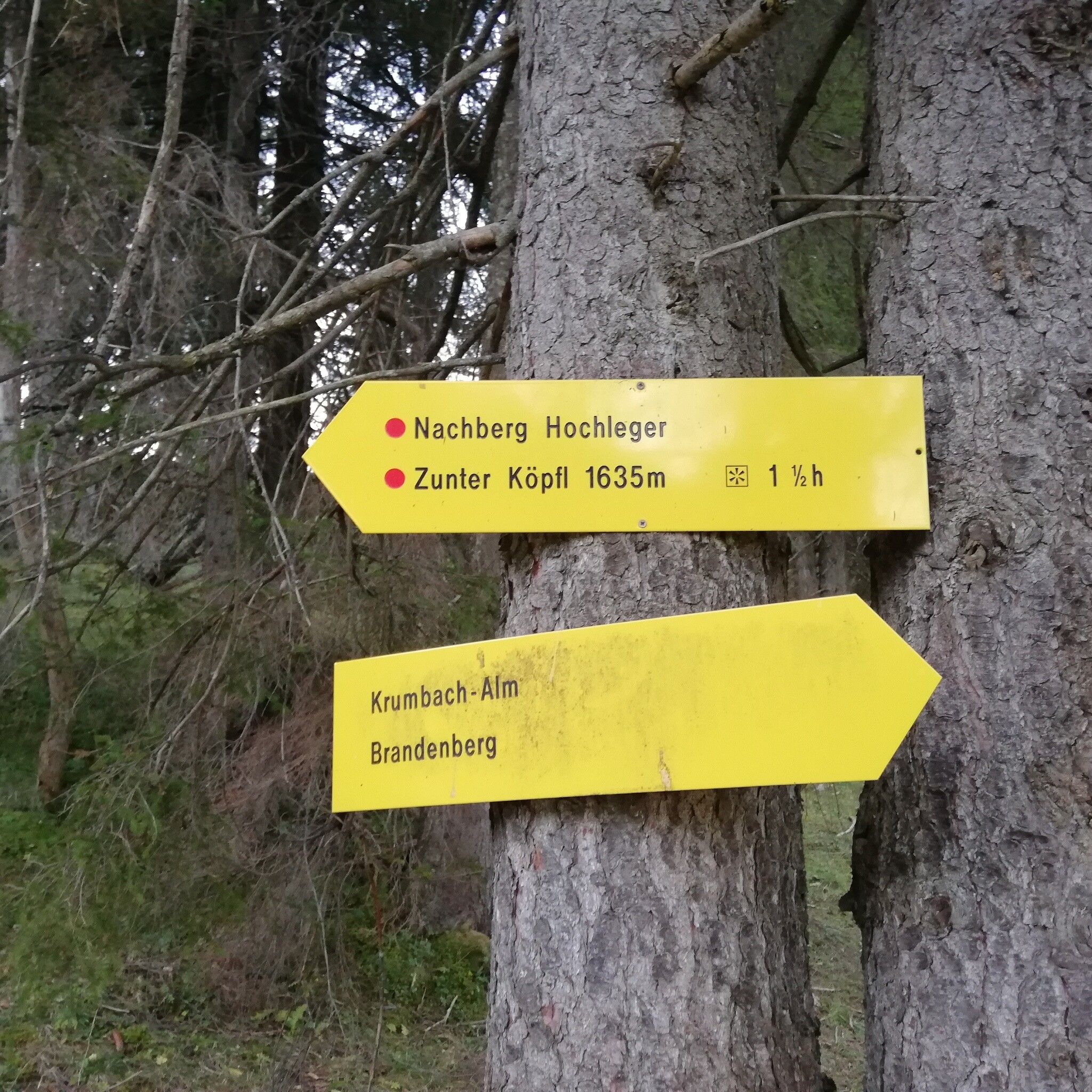
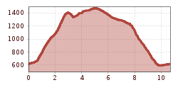
The tour starts in Breitenbach, Schnönau. Turn right after the tennis courts and follow the steep but easy route towards the Ruhreralm (approx. one hour), on to the Aschakreuz 1.458 m (approx. one hour from the Ruhreralm) and the Aschaalm. Backtrack a short part of the path and continue through alpine pastures towards the Nachberg Hochleger. From there walk downhill to Nachberg Niederleger; an in parts quite steep, but not dangerous route leads downhill to Schönau. The walk along the road from Schönau back to where one started takes approx. 1/4 hour.
www.vvt.at, bus no. 760
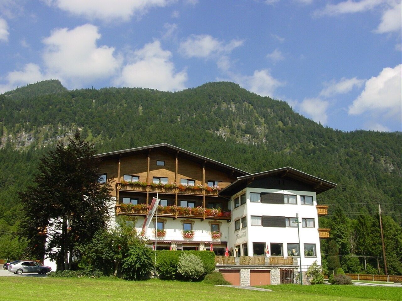
Gasthof Kaiserblick


")


