
Opening hours:Open today
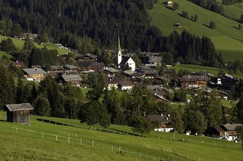
Place:Alpbach
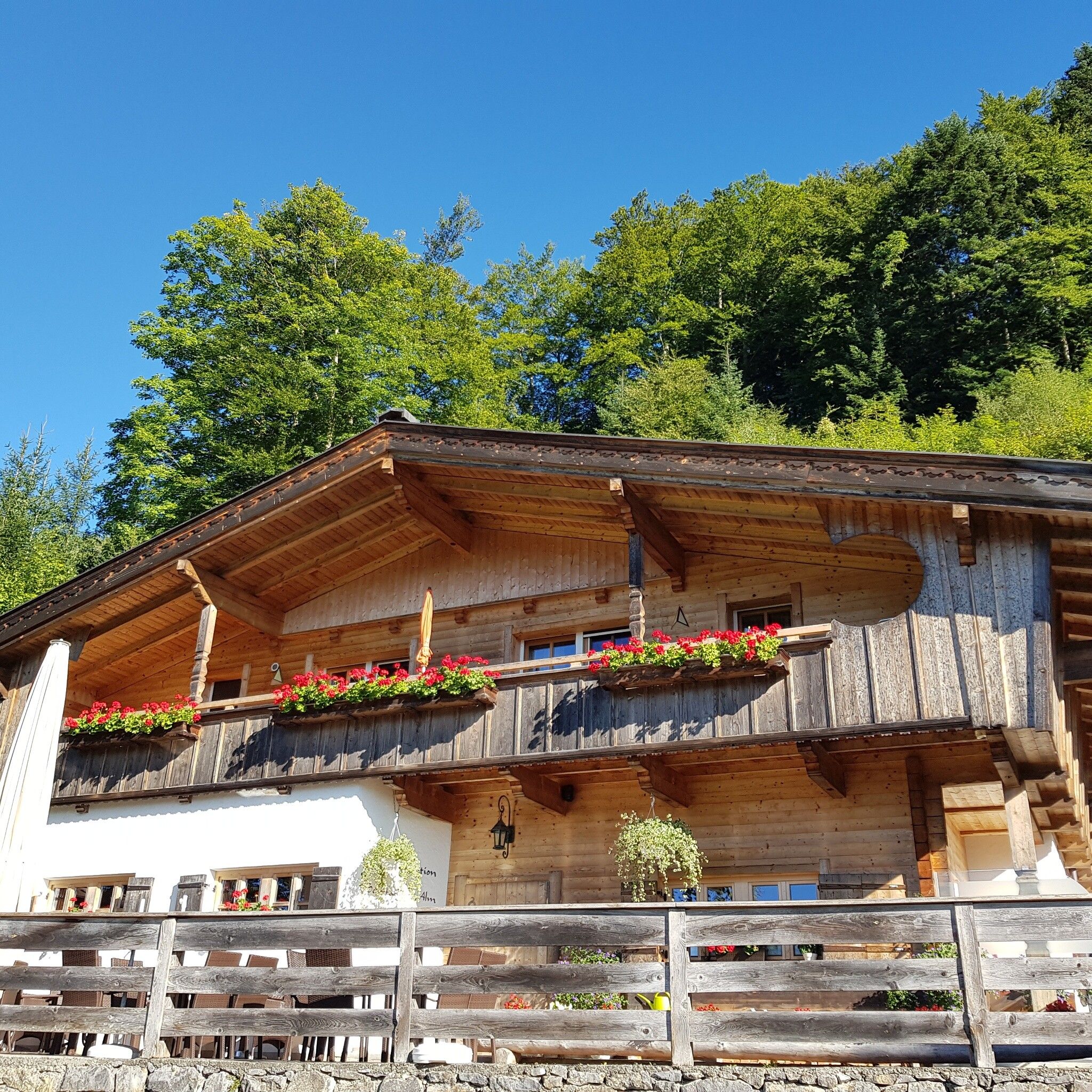
:Restaurant
Exciting hike past old farms to Alpbach with fantastic panoramic views
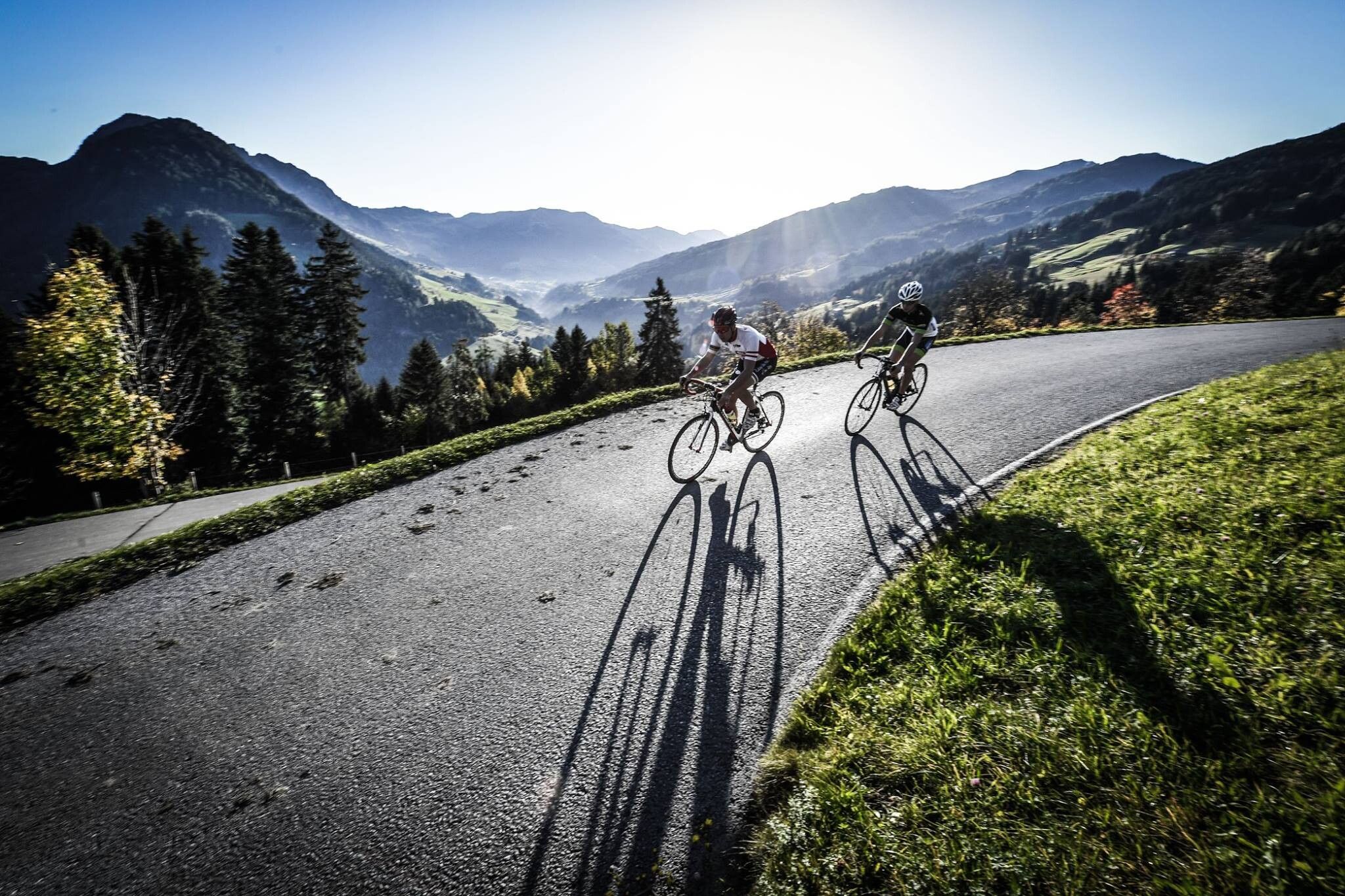
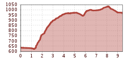
Mostly on asphalt
Sturdy shoes
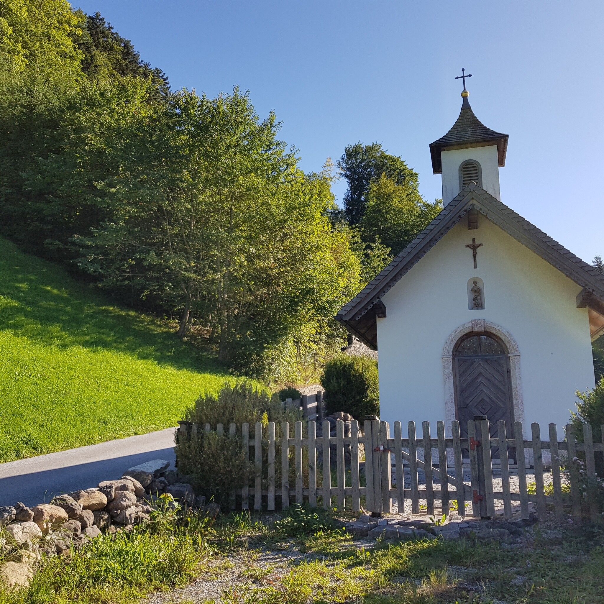
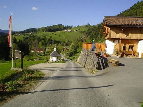
Starting point village center Reith im Alpbachtal past the hotel Kirchenwirt to the right towards district Mayrhof, cross the bypass road, continue straight towards Alpsteg. Follow the ascending path R20 to the Alpengasthof Pinzgerhof along the road passing the Brunnhöfe. At the Brunn chapel turn right and follow the large Alpbachtaler Höhenweg R20 to the center of Alpbach (A2). It is recommended to take the bus back to Reith.
Shorter variant: turn right at Pinzgerhof onto R24 and then continue on R20.
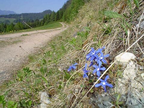
Fantastic panoramic view!
Line 620 www.vvt.at
Lift parking lot Reitherkogelbahn


.jpg")


.jpg")


