Hut hike Alpine plateau Stettauer Alm

Alpbach / Kitzbüheler Alpen
Difficulty ratings: medium
Route length: 7.8 km
Duration: 3:00 h

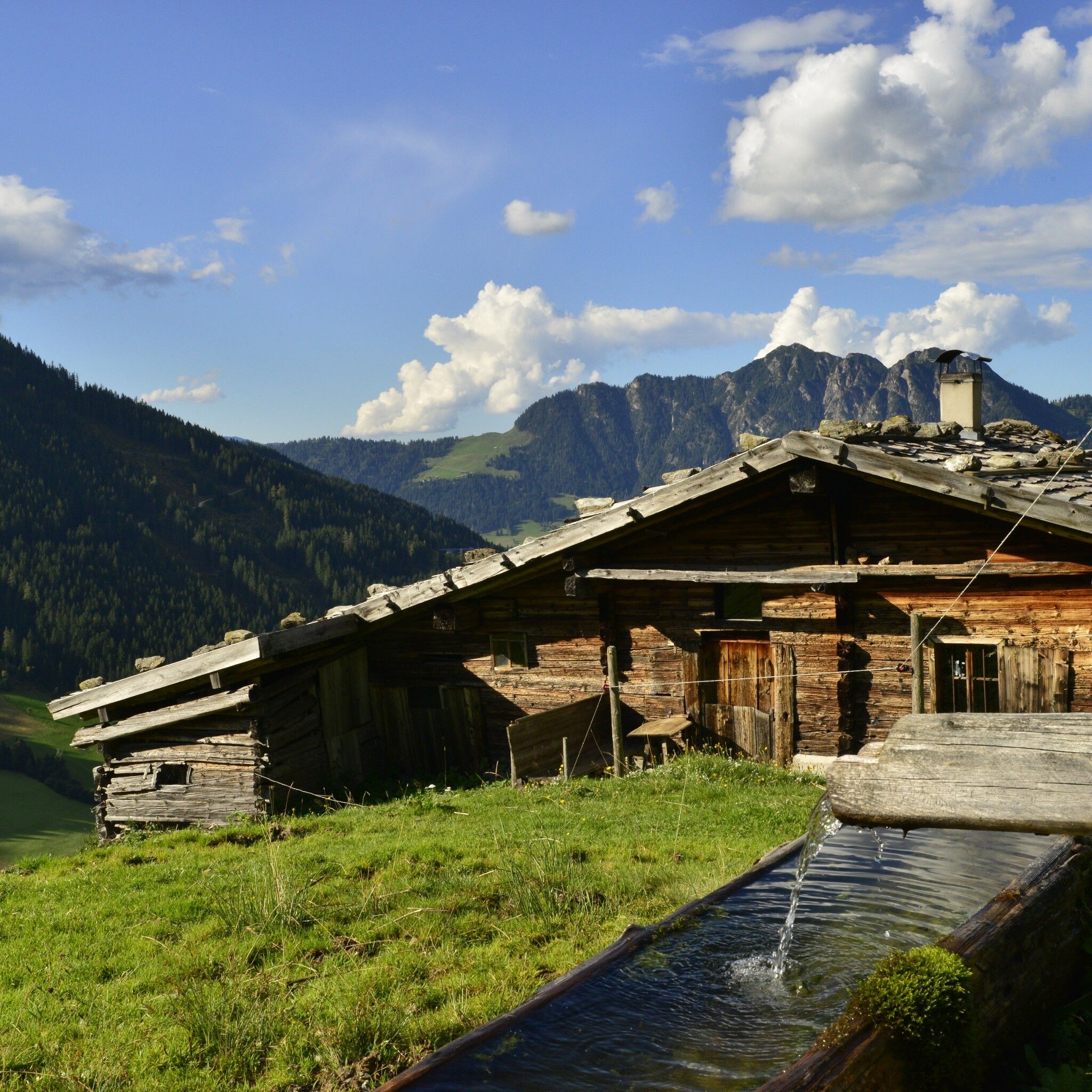
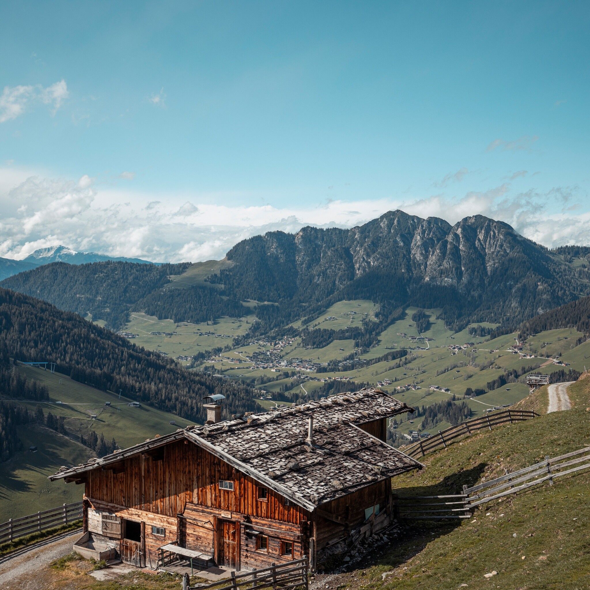
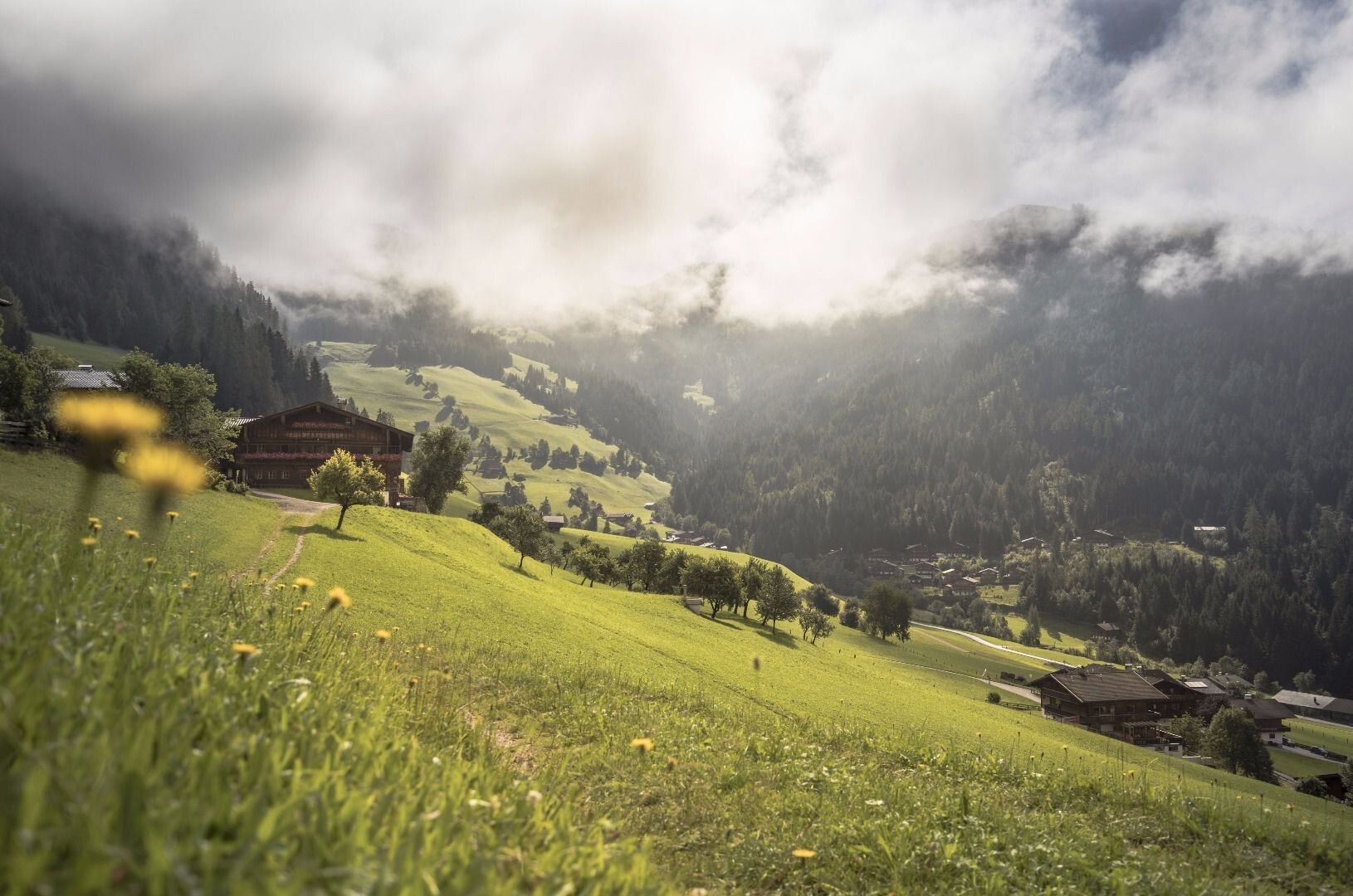
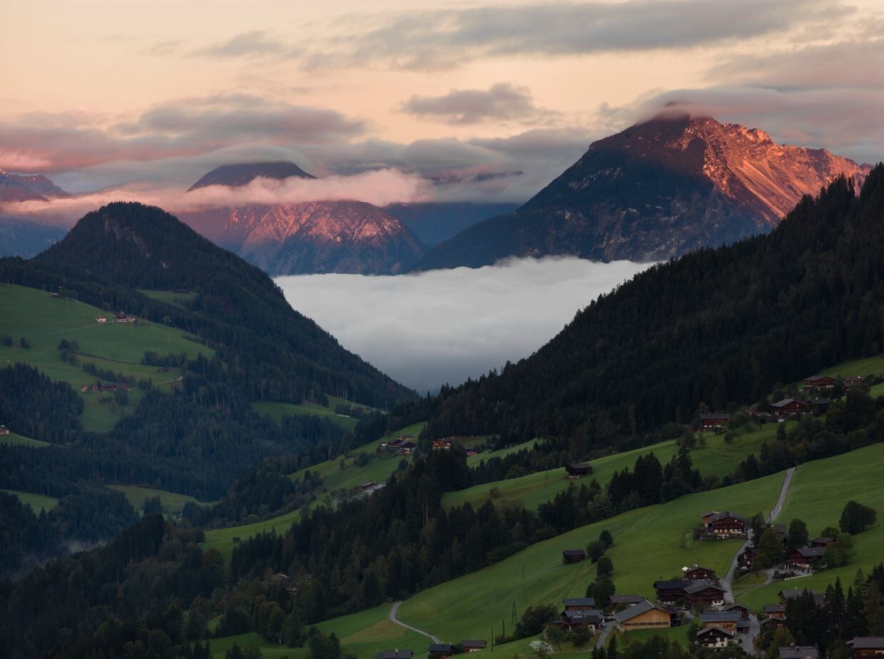
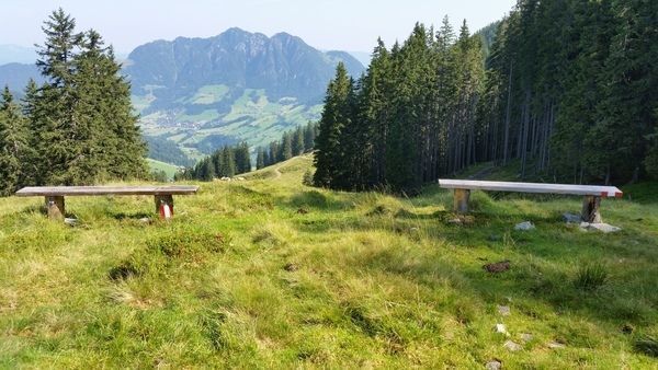
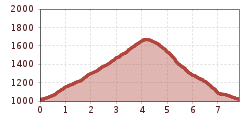
Hike with a shaded ascent and further across the extensive alpine pasture area of the Stettauer Alms

Tour information

  • Requirement: medium
  • Length: 7.8 km
  • Duration: 3:00 h
  • Elevation uphill:666 hm
  • Elevation downhill:666 hm
Highest point1,682 m

Starting point

Alpbach/Inneralpbach

Finishing point

Alpbach/Inneralpbach
  • Fitness level 3 / 6

Best time of year

  • January
  • February
  • March
  • April
  • May
  • June
  • July
  • August
  • September
  • October
  • November
  • December

Equipment

Hiking boots, provisions, and weather clothing

Source: Alpbachtal

Description

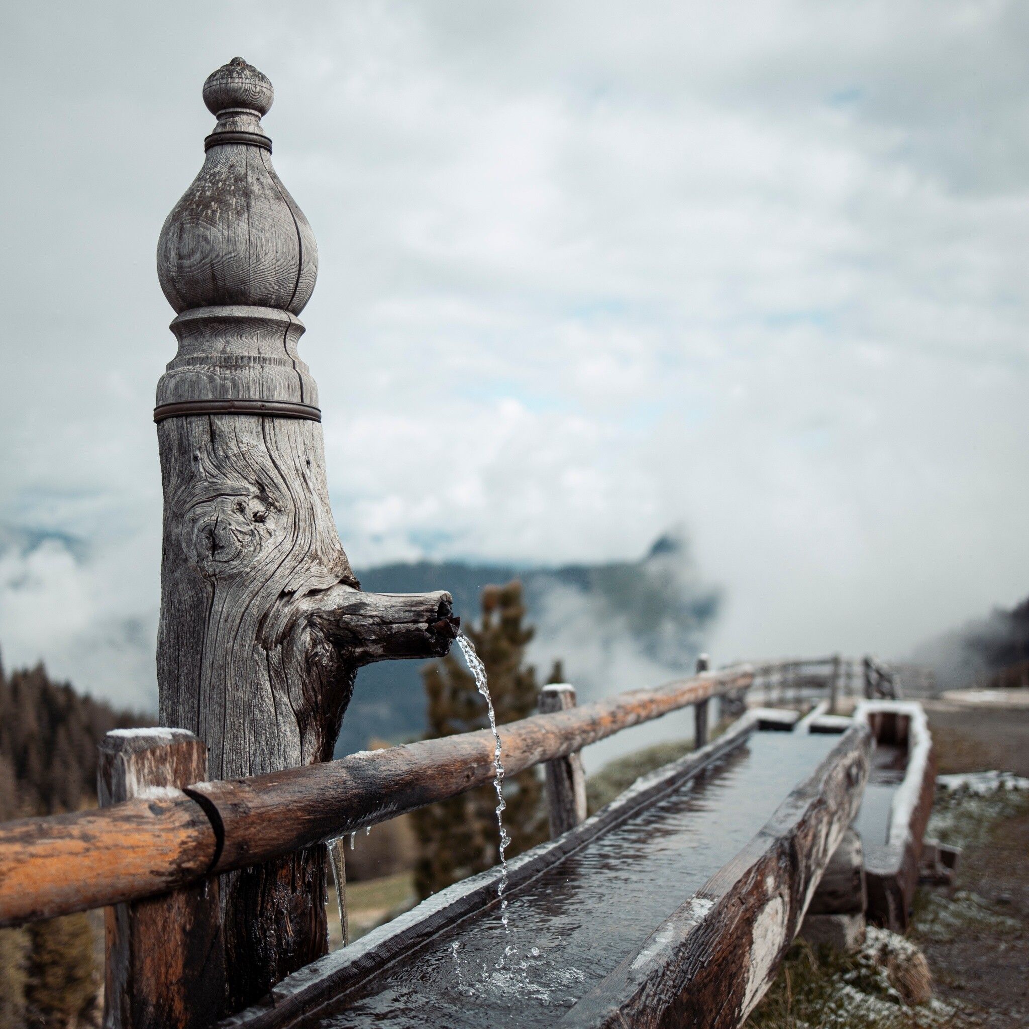
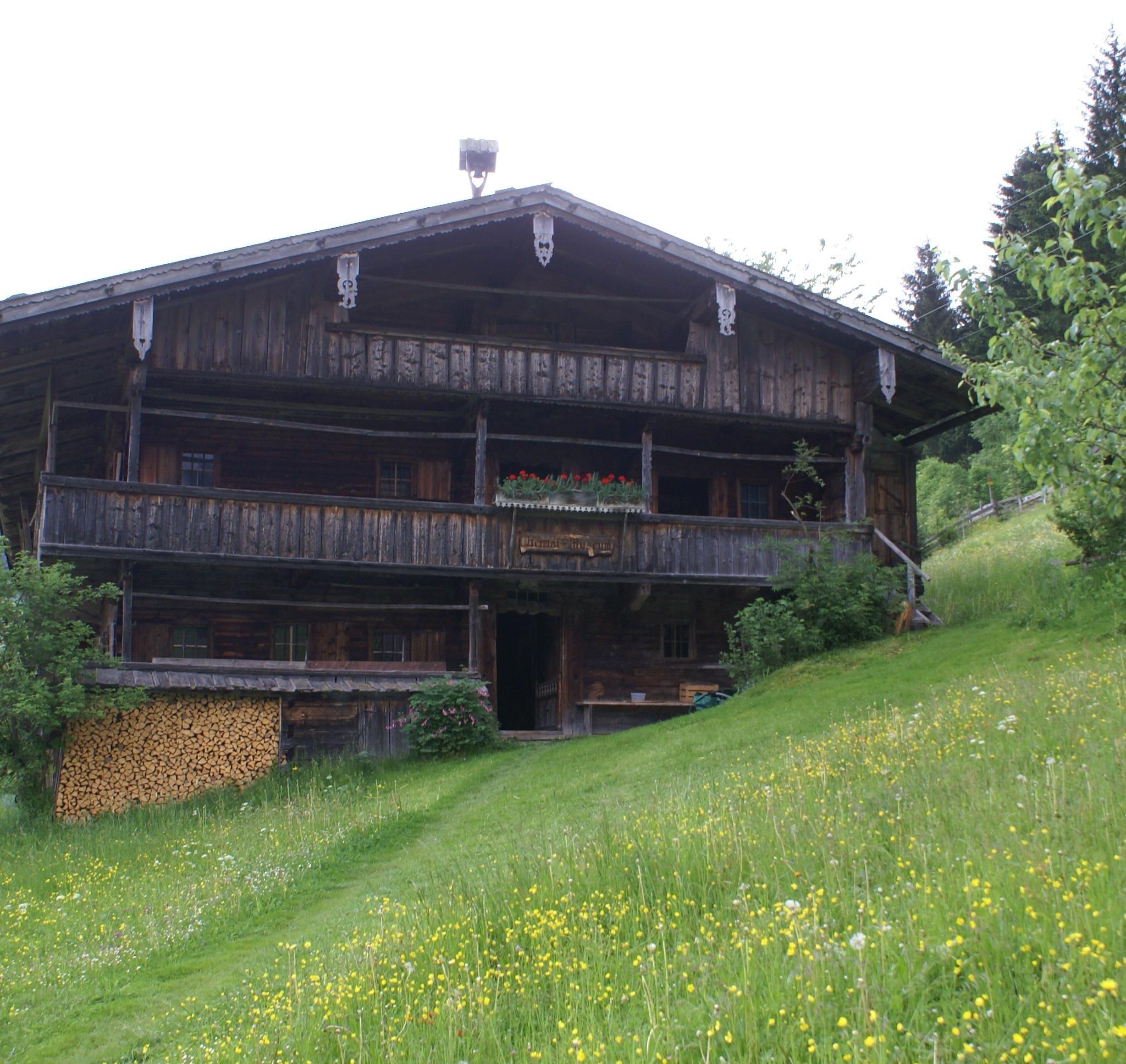
From Innerlapbach towards Zirmalm and the mountain farming museum; behind the museum follow the signs to "Galtenberg", uphill to the "Alplkreuz" (forest crossing). Now downhill to the Stettauer Alm/high pasture, continue to the lower pasture and then downhill via the hunting trail back to the starting point.


Nearby huts and mountain restaurants

Getting here

  • Arrival by public transport

    Line 620

    www.vvt.at

    Free bus rides with the "Alpbachtal Card" guest card

  • Parking

    Inneralpbach parking lot

More tours in the surrounding area

Newsletter

The mountain is calling? So does our newsletter!

In our monthly newsletter we reveal the best holiday tips for Tyrol.