Hut hike Bayreuther Hütte from Kramsach

Kramsach / Brandenberger Alpen (Rofan)
Difficulty ratings: medium
Route length: 13.8 km
Duration: 5:15 h

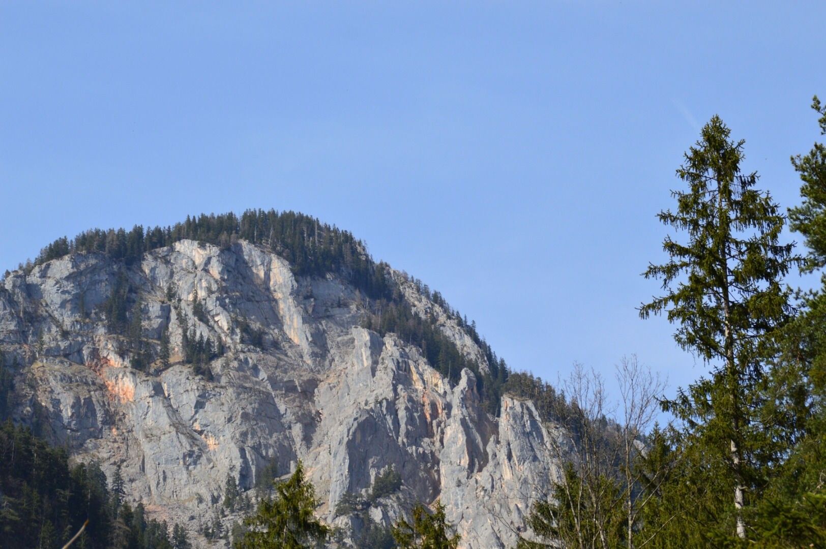
Beautiful hike with a great place to stop at the foot of the Sonnwendjoch

Tour information

  • Requirement: medium
  • Length: 13.8 km
  • Duration: 5:15 h
  • Elevation uphill:1,023 hm
  • Elevation downhill:1,022 hm
Highest point1,571 m

Starting point

Kramsach, parking lot former Sonnwendjoch cable car

Finishing point

Kramsach, parking lot former Sonnwendjoch cable car
  • Fitness level 3 / 6

Best time of year

  • January
  • February
  • March
  • April
  • May
  • June
  • July
  • August
  • September
  • October
  • November
  • December

Equipment

Especially during transitional seasons, there may be a risk of slipping!

Hiking boots and weather clothing

Source: Alpbachtal Tourismus

Description

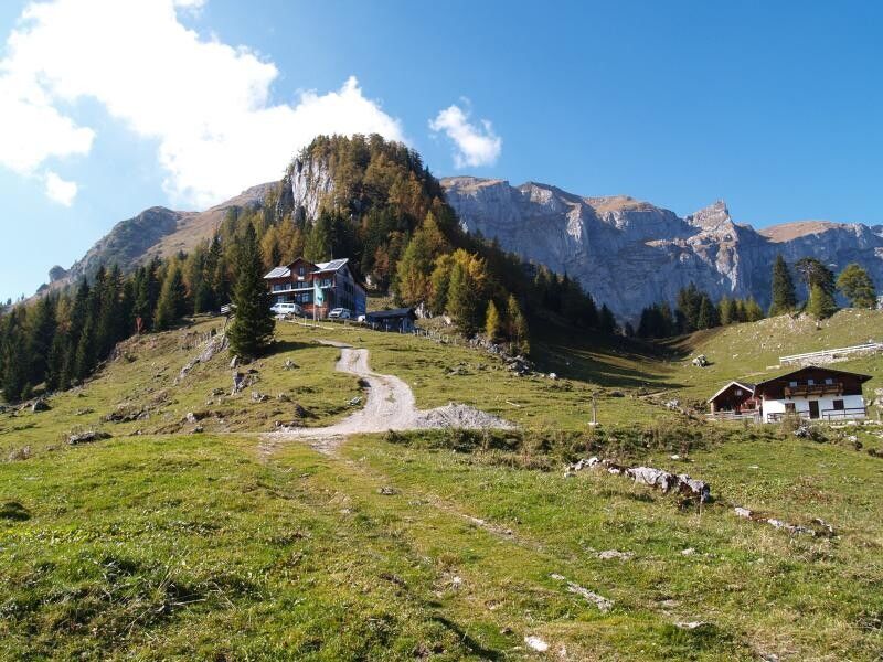
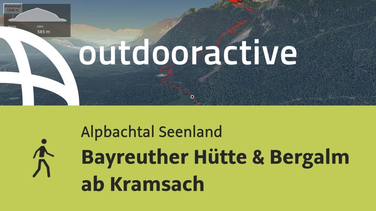
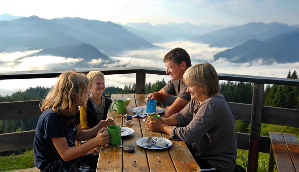
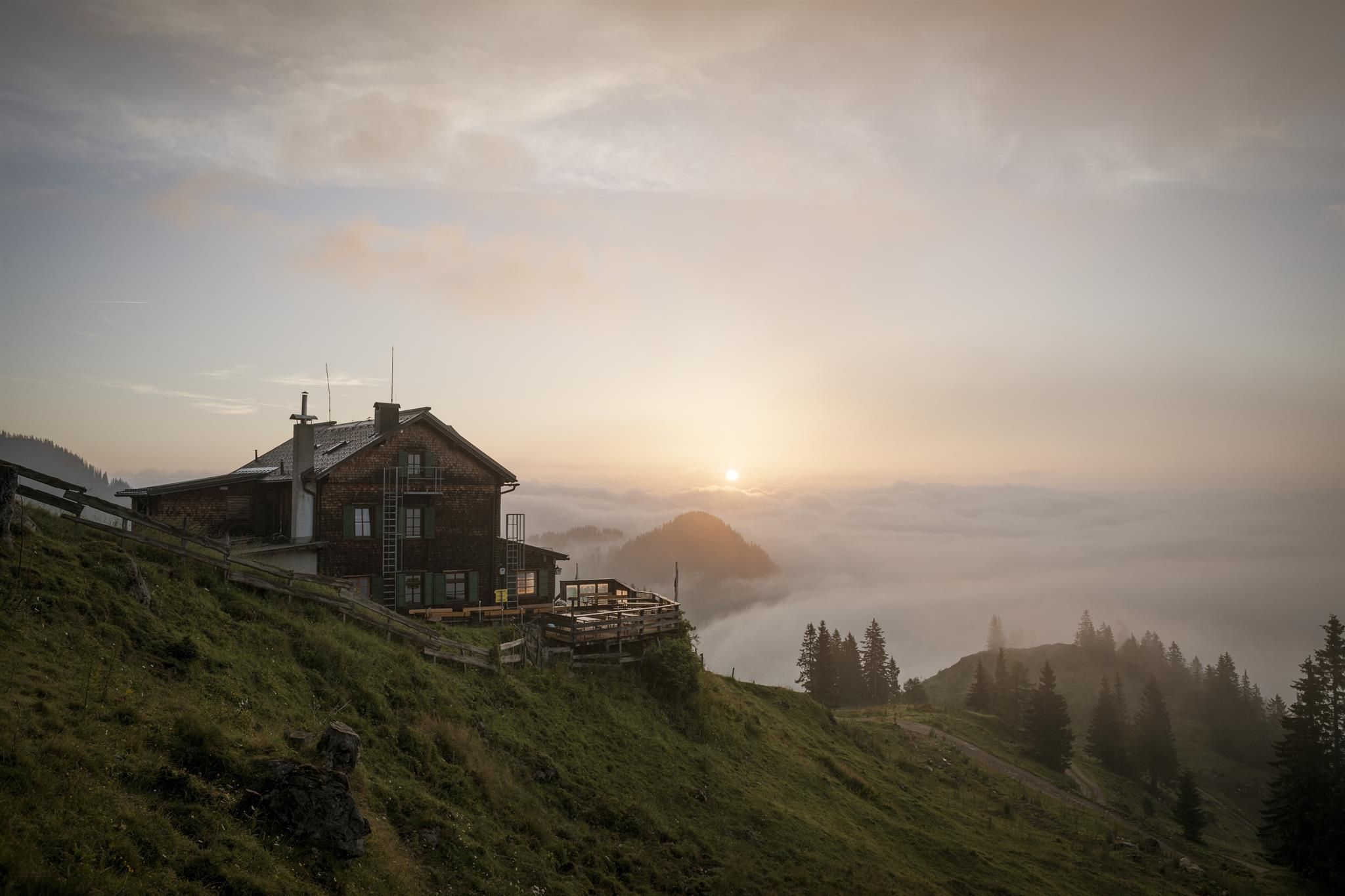
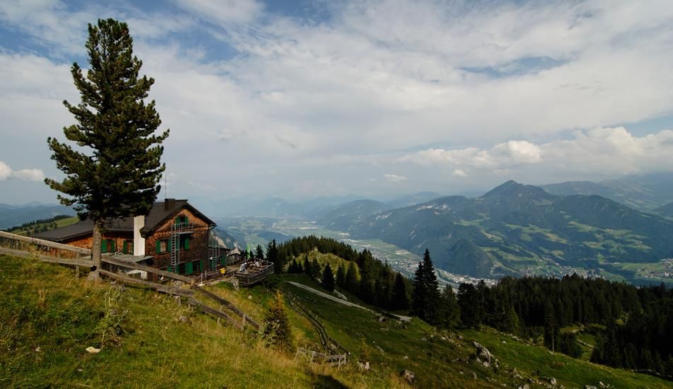
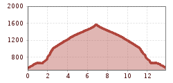
You can also hike to Bayreuther Hütte in the Rofan from Kramsach. After the roughly 1,000 m ascent, you will be rewarded with a magnificent view and a great setting in the middle of the Rofan mountains. The route starts at the parking lot of the former Sonnwendjoch cable car and leads to Herrgottstein and then to Pletzachgatterl until you finally arrive at the beautiful Bayreuther Hütte.


Nearby huts and mountain restaurants

Getting here

  • Arrival by public transport

    www.vvt.at

    Bus 610 or 604

  • Parking

    former Sonnwendjoch cable car valley station

More tours in the surrounding area

  • Discovering the Tiefenbach Gorge Hike

    Opening hours: closed
    Difficulty: medium
    Length: 5.7 km Duration: 3:30 h Elevation uphill: 669 m
  • Barrier-free path Lake Reintal

    Difficulty: easy
    Length: 6.5 km Duration: 1:45 h Elevation uphill: 15 m
  • 3-peak-tour Kienberg-Plessenberg-Heuberg

    Difficulty: medium
    Length: 8.6 km Duration: 4:30 h Elevation uphill: 779 m
  • Kaiser Gorge - loop trail

    Opening hours: closed
    Difficulty: easy
    Length: 4.2 km Duration: 1:00 h Elevation uphill: 198 m
  • Day 1: 4 days - 4 summits tour

    Difficulty: medium
    Length: 9.8 km Duration: 5:00 h Elevation uphill: 984 m
  • 3-day Family Tour Alpbachtal

    Difficulty: easy
    Length: 18.3 km Duration: 7:00 h Elevation uphill: 998 m
  • Voldöpper Spitze Loop Hike

    Difficulty: medium
    Length: 12.9 km Duration: 5:00 h Elevation uphill: 988 m
  • Loop tour Juppi Zauberwald

    Difficulty: easy
    Length: 2.5 km Duration: 1:00 h Elevation uphill: 93 m
  • Kundler Klamm

    Opening hours: closed
    Difficulty: easy
    Length: 6.4 km Duration: 2:00 h Elevation uphill: 116 m
  • Farmkehralm 1.521 m

    Difficulty: medium
    Length: 9.3 km Duration: 3:30 h Elevation uphill: 506 m
  • Wiedersberger Horn Panorama Path

    Difficulty: easy
    Length: 4.1 km Duration: 1:30 h Elevation uphill: 195 m
  • Day 3: 4 days - 4 summits tour

    Difficulty: medium
    Length: 19.3 km Duration: 8:00 h Elevation uphill: 1,371 m
  • 4 days - 4 summits tour

    Difficulty: medium
    Length: 54.4 km Duration: 23:00 h Elevation uphill: 3,408 m
Newsletter

The mountain is calling? So does our newsletter!

In our monthly newsletter we reveal the best holiday tips for Tyrol.