
Opening hours:Open today
Place:Breitenbach am Inn
:Restaurant, Alpine pasture / hut / mountain restaurant
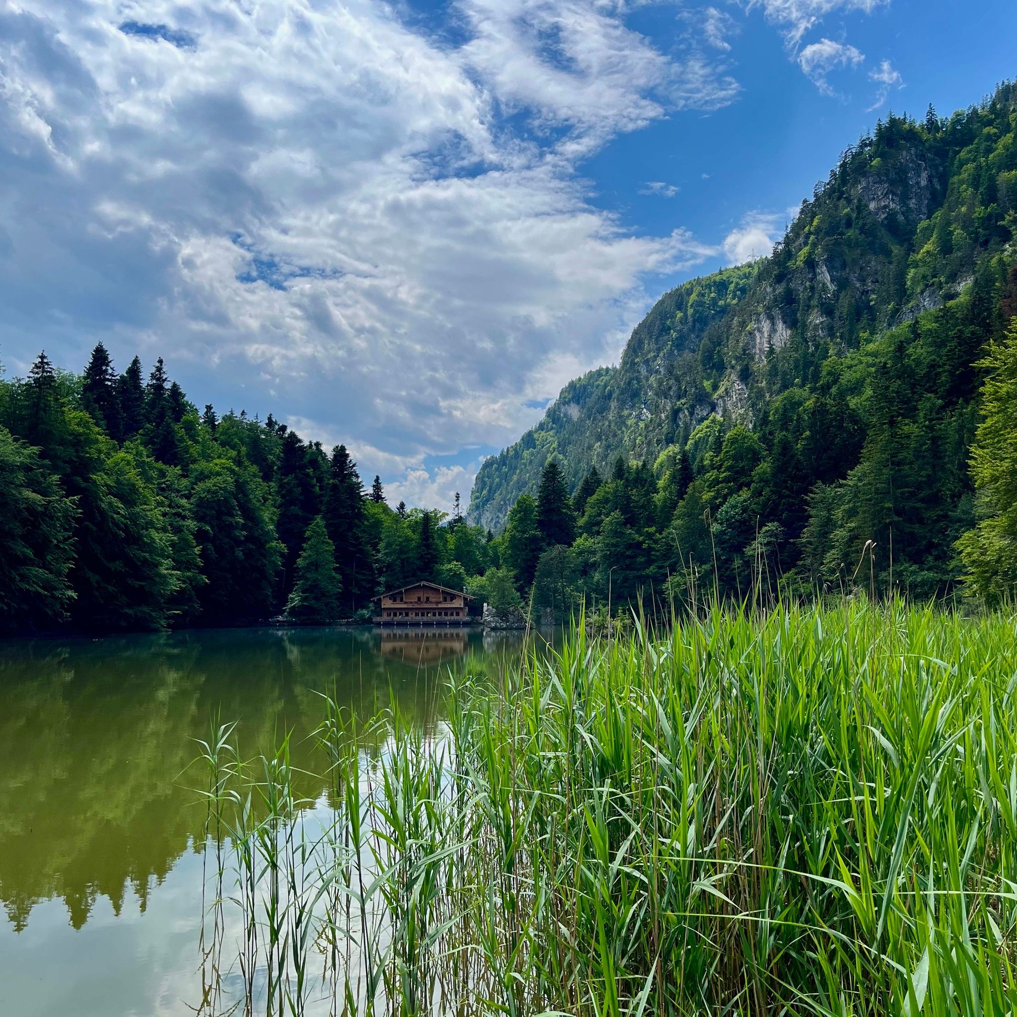
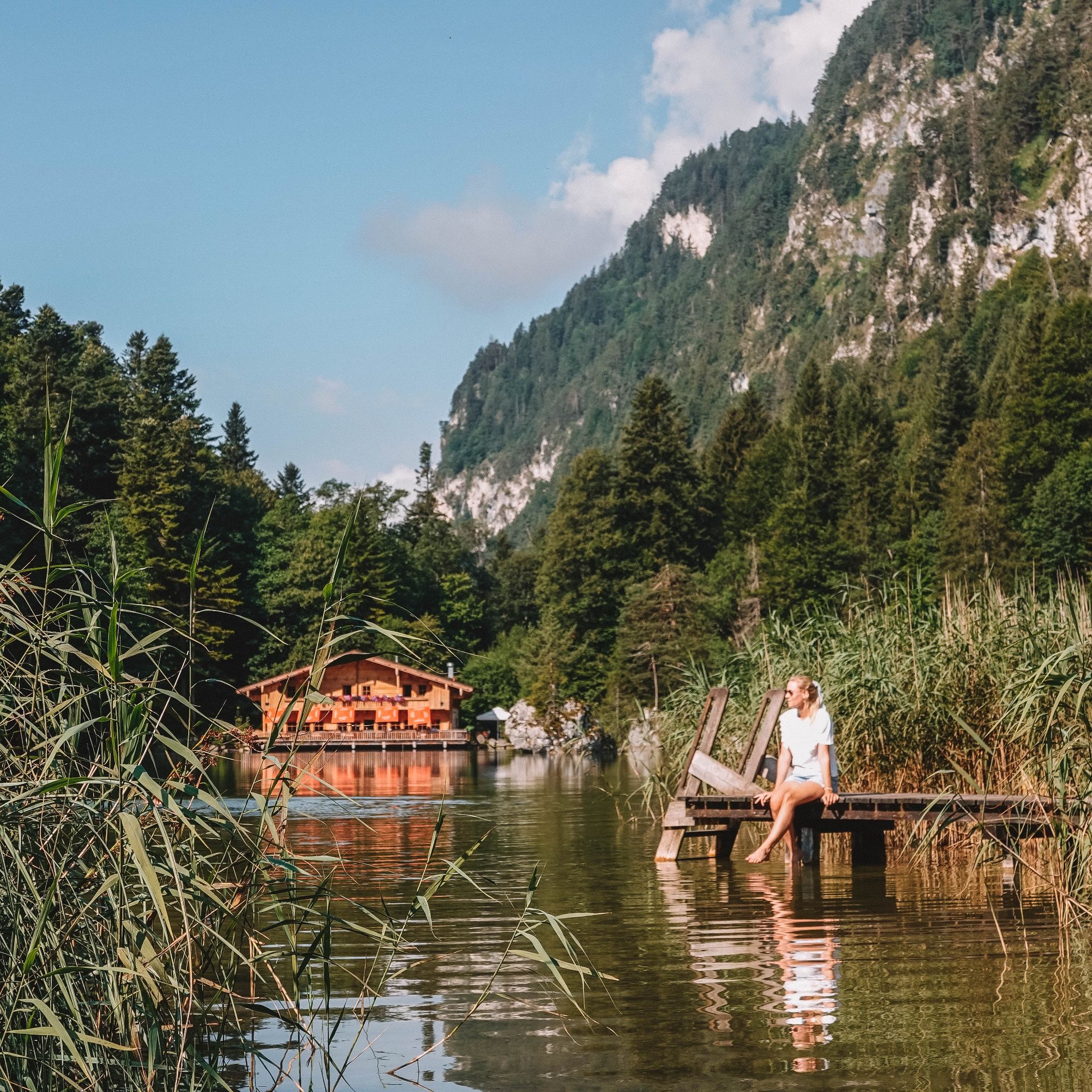
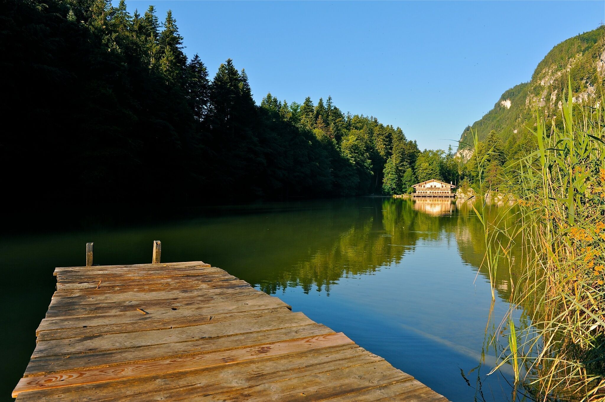
Varied hike with the special natural experience "Berglsteinersee"
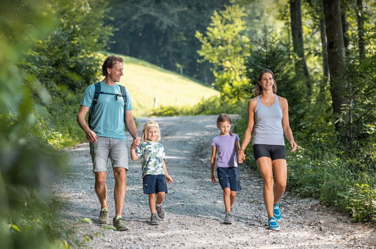
All-terrain stroller absolutely necessary
sturdy footwear
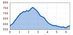
From the car park at the panorama board uphill in about 30 minutes to Berglsteinersee. This lake lies nestled between forests in a dreamlike natural setting. Then continue either left or right (stroller accessible) to the east end of the lake, a bit uphill again to the car park and further uphill on the asphalt road to the highest point "Salberg". From here first follow the road downhill to the next junction - turn right here "signposted Moosen", past the farmhouse and continue downhill over a beautiful forest and meadow path to Moosen. Cross the state road and at the next opportunity turn right again towards Reintalersee, shortly before the lake turn right uphill to the starting point.
www.vvt.at Line 621
Reintalersee East car park


")


