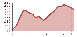
Open interactive mapOpen this POI on the interactive mapElevation profileBergsteiger Wandertag 2 leicht.gpx
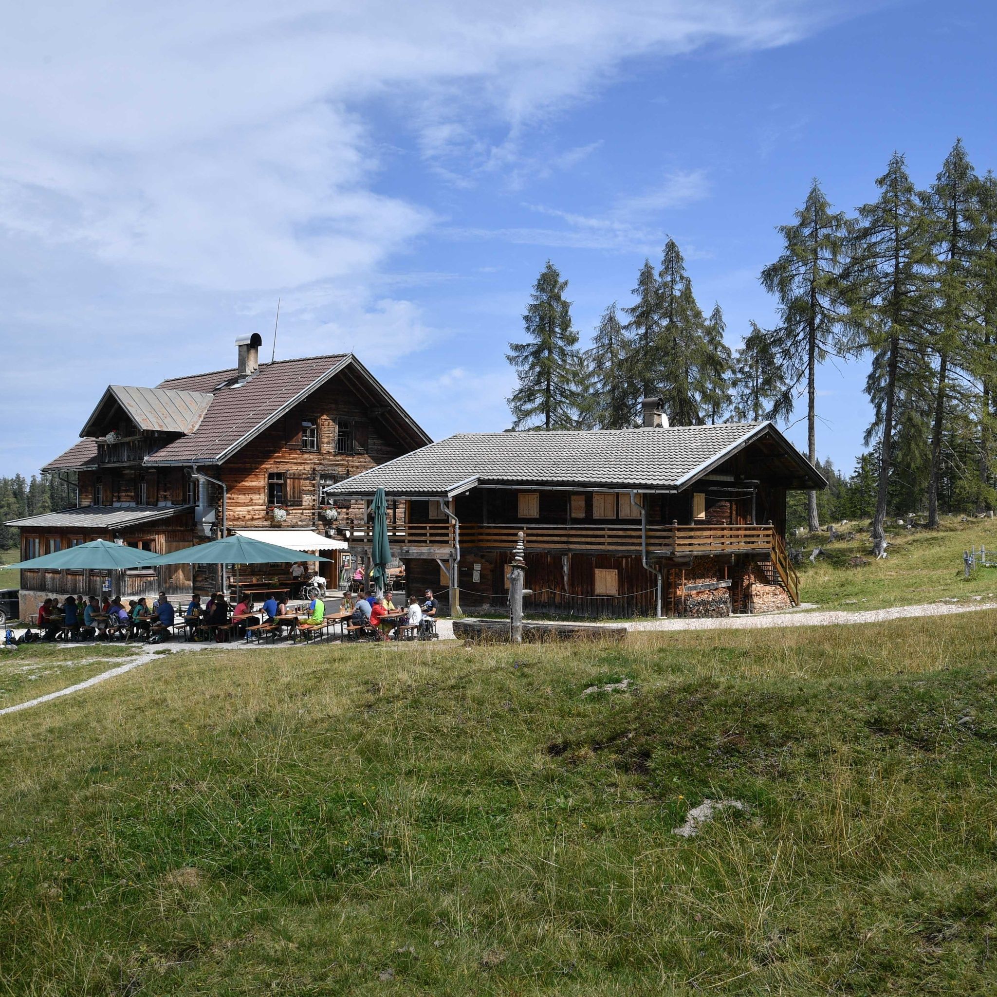
Holzalm © Alpbachtal Tourismus Berggasthof Holzalm - mountain innPlace: Brixlegg : Alpine pasture / hut / mountain restaurant see restaurant detailssee restaurant details: Berggasthof Holzalm - mountain inn
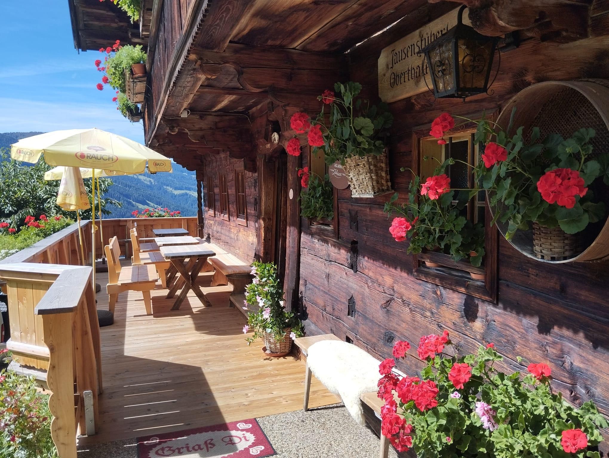
Oberthaler Hof © Alpbachtal Tourismus Jausenstüberl OberthalerOpening hours:Open todayPlace: Alpbach : Alpine pasture / hut / mountain restaurant see restaurant detailssee restaurant details: Jausenstüberl Oberthaler
Alpenasthof Rossmoos im Winter © Alpengasthof Rossmoos Restaurant Alpengasthof RossmoosOpening hours:Open todayPlace: Alpbach : Restaurant, Alpine pasture / hut / mountain restaurant see restaurant detailssee restaurant details: Restaurant Alpengasthof Rossmoos
Holzalm © Alpbachtal Tourismus Gratlspitze 1.899 m - starting point: Berggasthof HolzalmOpening hours: closed Difficulty: medium Length: 4.6 km Duration: 2:30 h Elevation uphill: 479 m See trailSee trail: Gratlspitze 1.899 m - starting point: Berggasthof Holzalm
Zireiner See © Gabriele Grießenböck Lake Zirein via SonnwendjochberghausDifficulty: difficult Length: 18.4 km Duration: 6:15 h Elevation uphill: 894 m See trailSee trail: Lake Zirein via Sonnwendjochberghaus
Wasserspiele im Juppi Zauberwald © Ski Juwel Alpbachtal Wildschönau Loop tour Juppi ZauberwaldDifficulty: easy Length: 2.5 km Duration: 1:00 h Elevation uphill: 93 m See trailSee trail: Loop tour Juppi Zauberwald
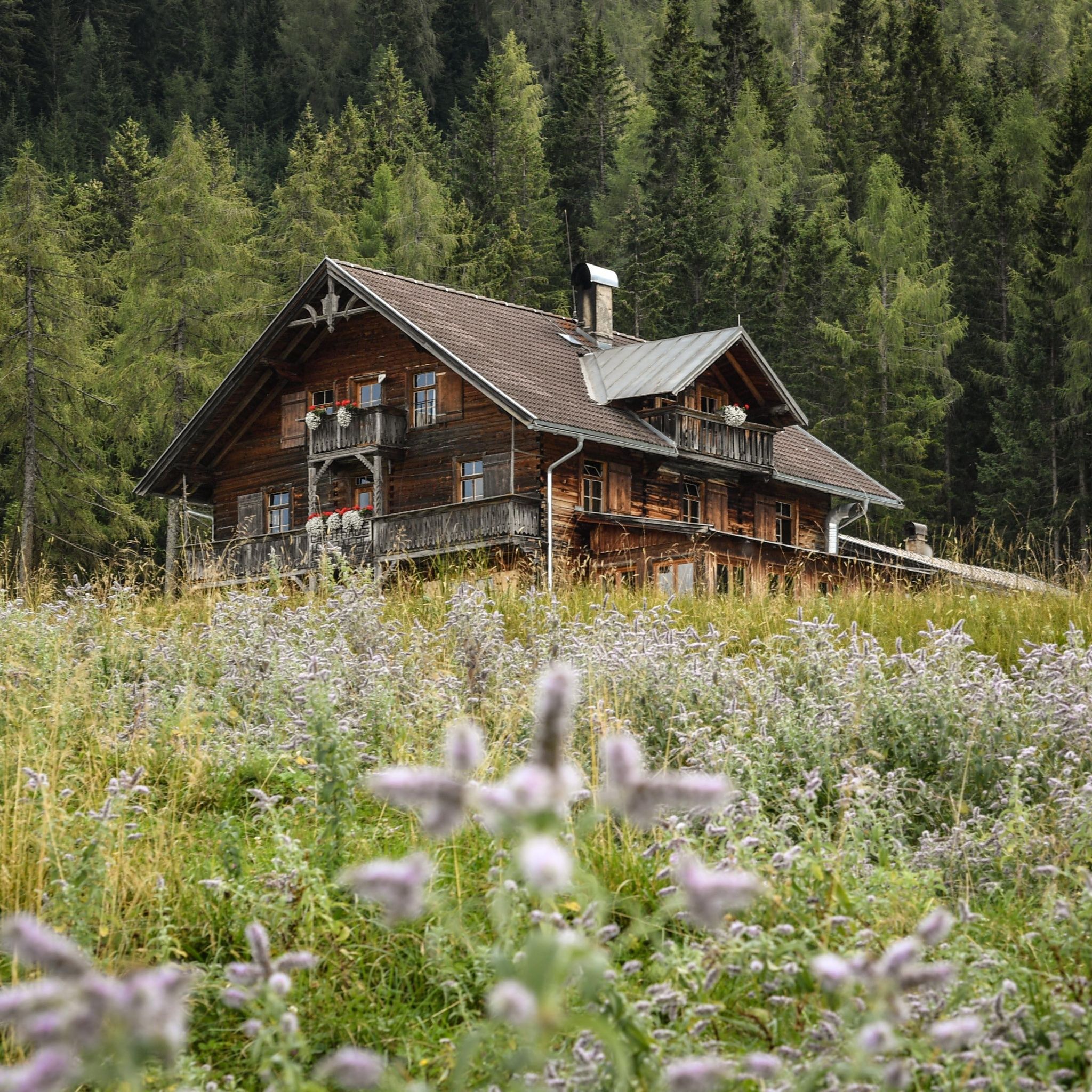
Alpbachtal Hüttenjause auf der Farmkehralm © Mathäus Gartner 3-day Family Tour AlpbachtalDifficulty: easy Length: 18.3 km Duration: 7:00 h Elevation uphill: 998 m See trailSee trail: 3-day Family Tour Alpbachtal
Gipfelkreuz Voldöpper Spitze © Sandrine Stock Voldöpper Spitze Loop HikeDifficulty: medium Length: 12.9 km Duration: 5:00 h Elevation uphill: 988 m See trailSee trail: Voldöpper Spitze Loop Hike
Kundler Klamm Familie © Shootandstyle Kundler KlammOpening hours: closed Difficulty: easy Length: 6.4 km Duration: 2:00 h Elevation uphill: 116 m See trailSee trail: Kundler Klamm
Alpbachtal Hüttenjause auf der Farmkehralm © Mathäus Gartner Farmkehralm 1.521 mDifficulty: medium Length: 9.3 km Duration: 3:30 h Elevation uphill: 506 m See trailSee trail: Farmkehralm 1.521 m
Panoramaweg Wiedersbergerhorn Alpbach © Gabriele Grießenböck Wiedersberger Horn Panorama PathDifficulty: easy Length: 4.1 km Duration: 1:30 h Elevation uphill: 195 m See trailSee trail: Wiedersberger Horn Panorama Path
Aussichtsplattform Tiefenbachklamm © Hannes Sautner Shootandstyle Discovering the Tiefenbach Gorge HikeOpening hours: closed Difficulty: medium Length: 5.7 km Duration: 3:30 h Elevation uphill: 669 m See trailSee trail: Discovering the Tiefenbach Gorge Hike
Kaiserklamm Tunnel © Alpbachtal Tourismus Kaiser Gorge - loop trailOpening hours: closed Difficulty: easy Length: 4.2 km Duration: 1:00 h Elevation uphill: 198 m See trailSee trail: Kaiser Gorge - loop trail
Barrierefreier Weg am Reintalersee in Kramsach Ferienregion Alpbachtal © shootandstyle Barrier-free path Lake ReintalDifficulty: easy Length: 6.5 km Duration: 1:45 h Elevation uphill: 15 m See trailSee trail: Barrier-free path Lake Reintal
Bayreuther Hütte Morgensonne © Jens Schwarz Day 4: 4 days - 4 summit tourDifficulty: medium Length: 7.2 km Duration: 2:15 h See trailSee trail: Day 4: 4 days - 4 summit tour
Sonnenaufgang auf dem Voldöppberg (Voldöpper Spitze) © Alpbachtal Day 1: 4 days - 4 summits tourDifficulty: medium Length: 9.8 km Duration: 5:00 h Elevation uphill: 984 m See trailSee trail: Day 1: 4 days - 4 summits tour
3-Gipfeltour Kienberg - Plessenberg - Heuberg, CCE Wanderdörfer © Rene Zisch_Monja Kraner 3-peak-tour Kienberg-Plessenberg-HeubergDifficulty: medium Length: 8.6 km Duration: 4:30 h Elevation uphill: 779 m See trailSee trail: 3-peak-tour Kienberg-Plessenberg-Heuberg
Ausblick auf den Zireiner See und das Rofan Gebirge © Alpbachtal Day 3: 4 days - 4 summits tourDifficulty: medium Length: 19.3 km Duration: 8:00 h Elevation uphill: 1,371 m See trailSee trail: Day 3: 4 days - 4 summits tour
Zireiner See Abendstimmung © Thomas Kargl 4 days - 4 summits tourDifficulty: medium Length: 54.4 km Duration: 23:00 h Elevation uphill: 3,408 m See trailSee trail: 4 days - 4 summits tour
Brandenberg Dorfzentrum © Alpbachtal Day 2: 4 days - 4 summits tourDifficulty: medium Length: 20.3 km Duration: 7:00 h Elevation uphill: 1,198 m See trailSee trail: Day 2: 4 days - 4 summits tour
Adlerweg Etappe 6 © Tirol Werbung/Jens Schwarz Eagle Walk Stage 06: Pinegg - Steinberg am RofanDifficulty: medium Length: 17.8 km Duration: 7:00 h Elevation uphill: 1,016 m See trailSee trail: Eagle Walk Stage 06: Pinegg - Steinberg am Rofan
Give feedback for a chance to win a special holiday experience!Click here for the surveyClick here for the survey


")


