Mountain hikes Brandenberg Butterfly Circular Route

closed
Brandenberg /
Difficulty ratings: easy
Route length: 8.7 km
Duration: 2:30 h

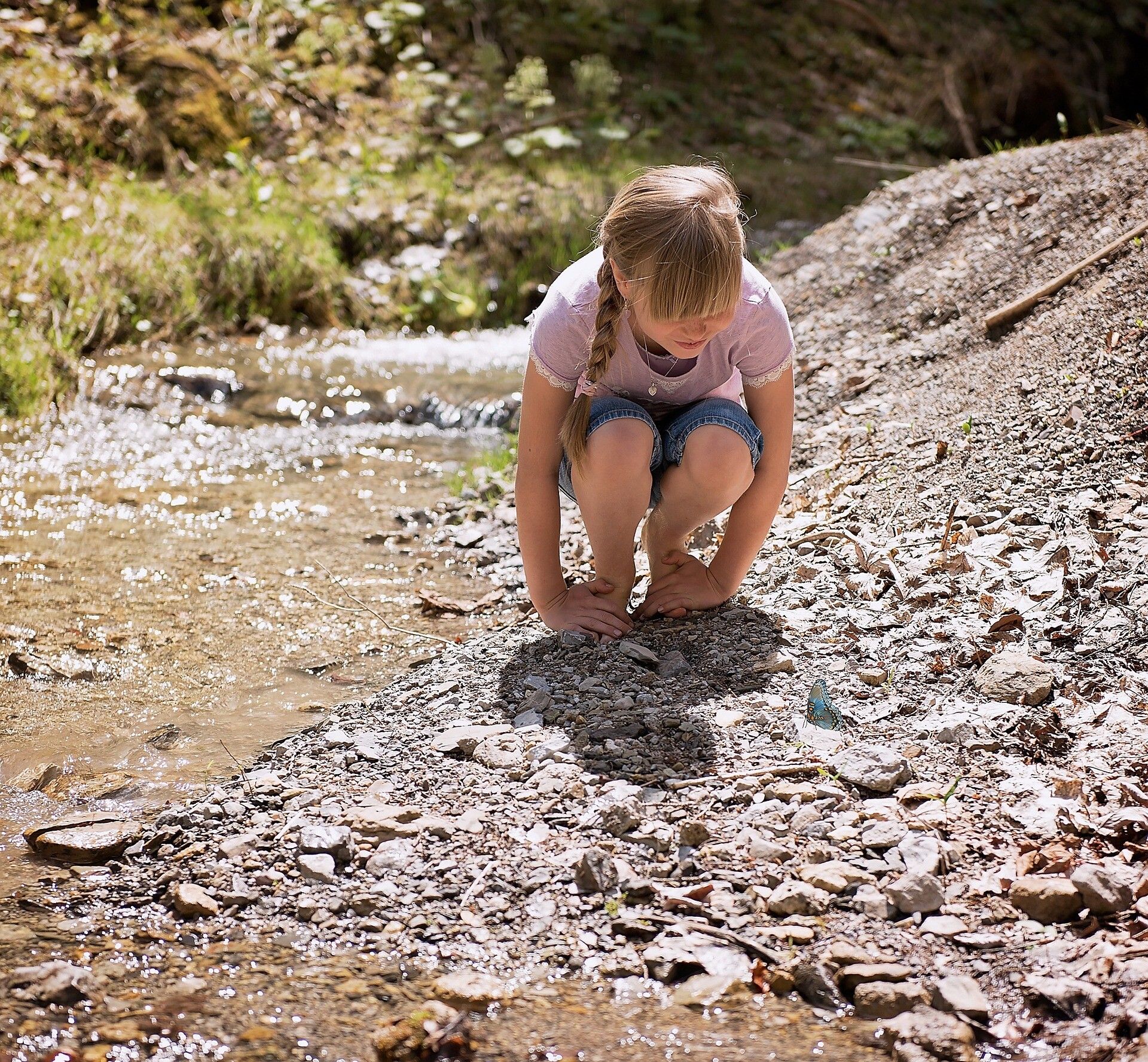
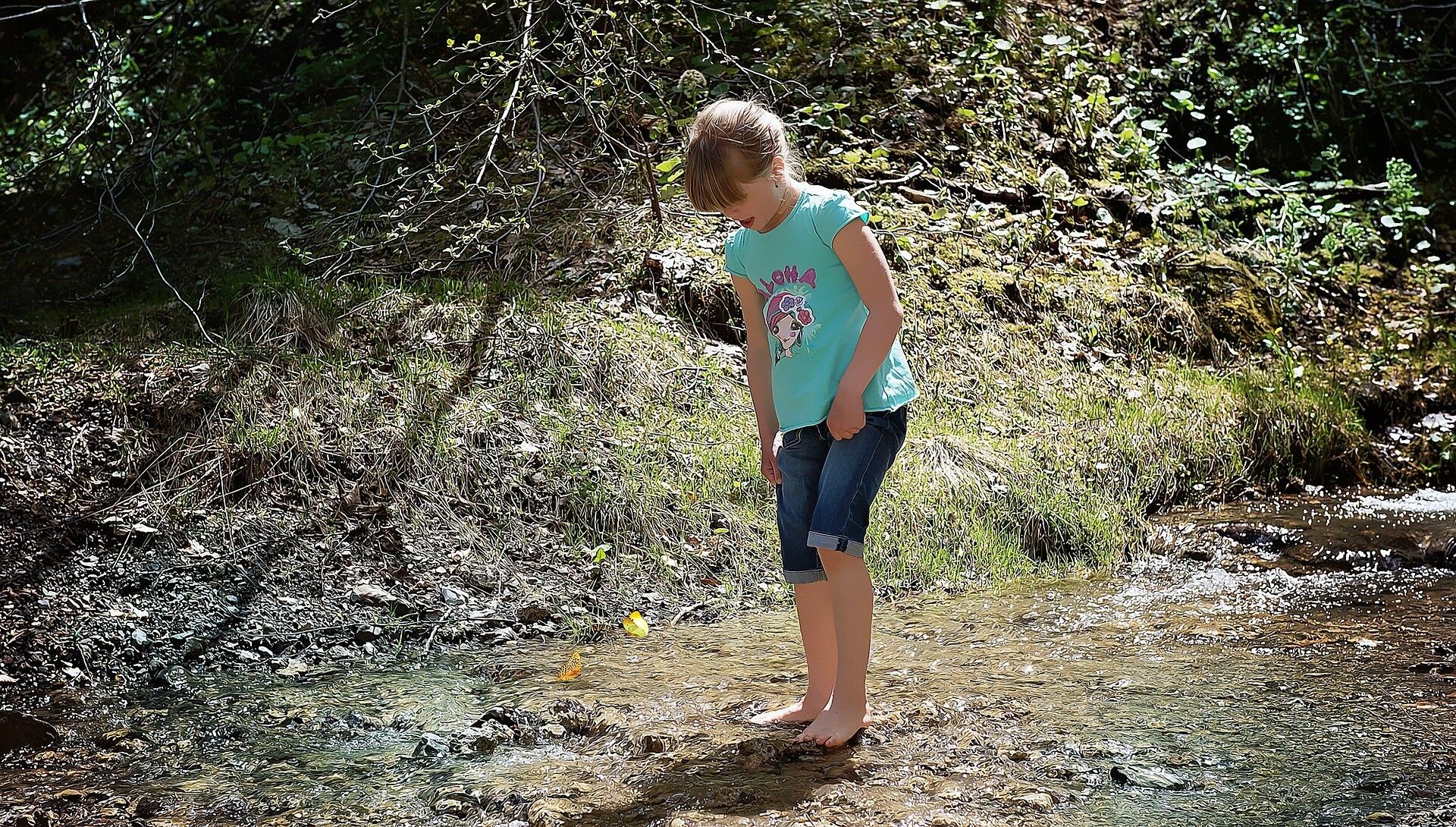
This circular hike takes you to the hot spots of the Brandenberger butterfly fauna.

Tour information

  • Requirement: easy
  • Length: 8.7 km
  • Duration: 2:30 h
  • Elevation uphill:347 hm
  • Elevation downhill:349 hm
Highest point866 m

Starting point

Parking lot Kaiserhaus, Brandenberg (709 m)

Finishing point

Parking lot Kaiserhaus, Brandenberg (709 m)
  • Fitness level 2 / 6

Best time of year

  • January
  • February
  • March
  • April
  • May
  • June
  • July
  • August
  • September
  • October
  • November
  • December

Equipment

The gorge is closed during very bad weather and in winter.

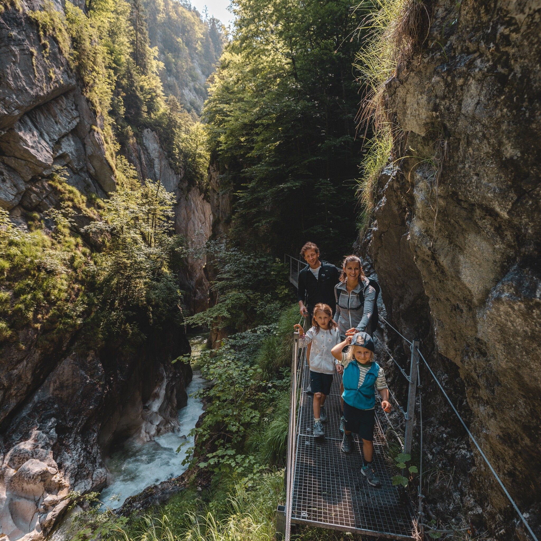
Hiking with dogs through the Kaiserklamm and Tiefenbachklamm is not recommended due to steel bridges with gratings (especially not feasible for small dogs).

Sturdy footwear, comfortable clothing

Source: Alpbachtal Tourismus

Description

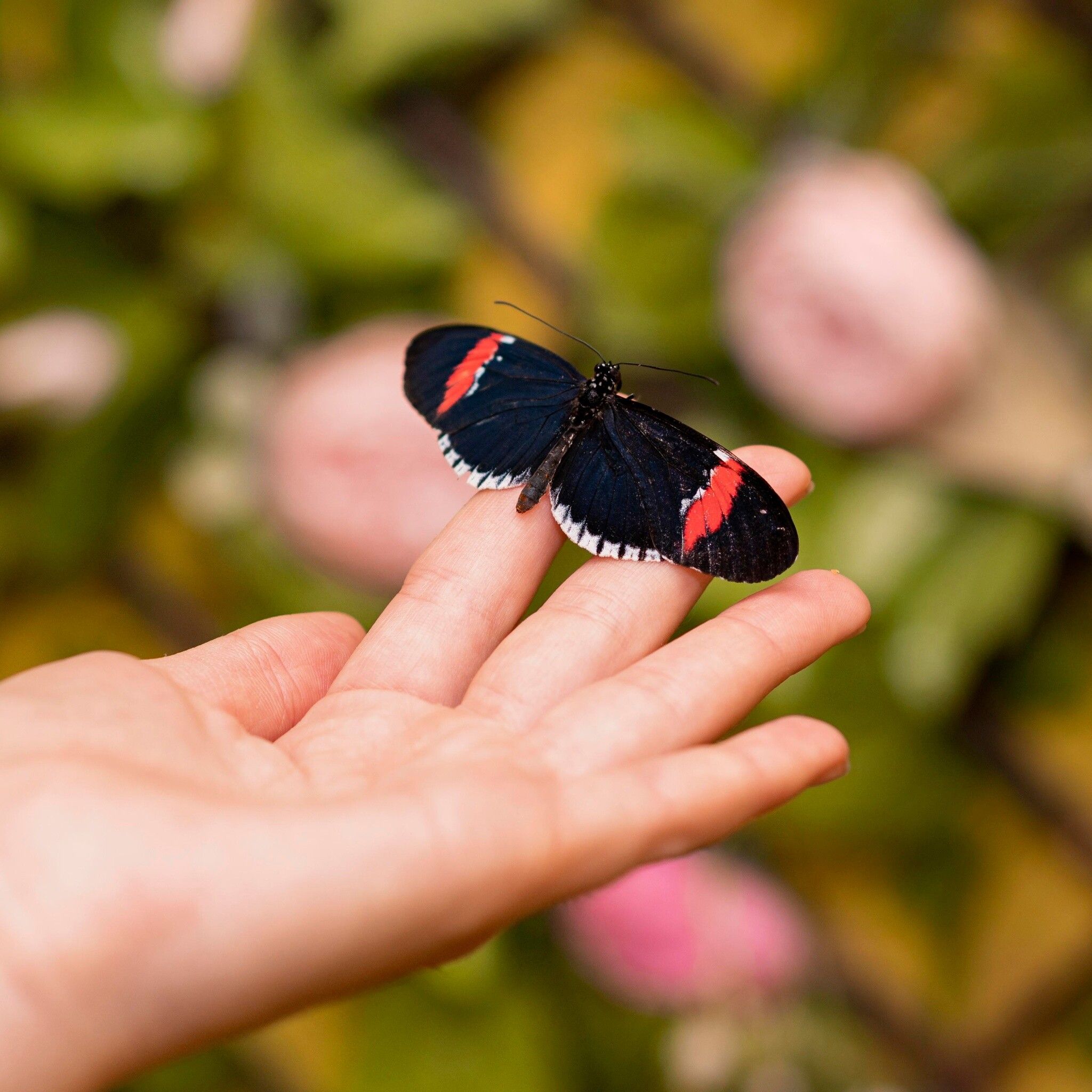
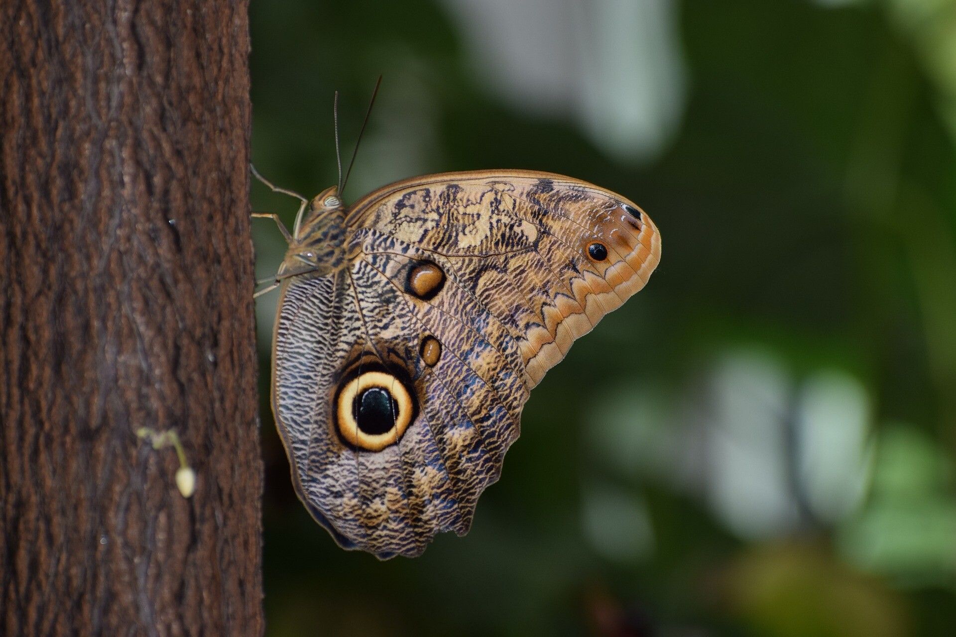
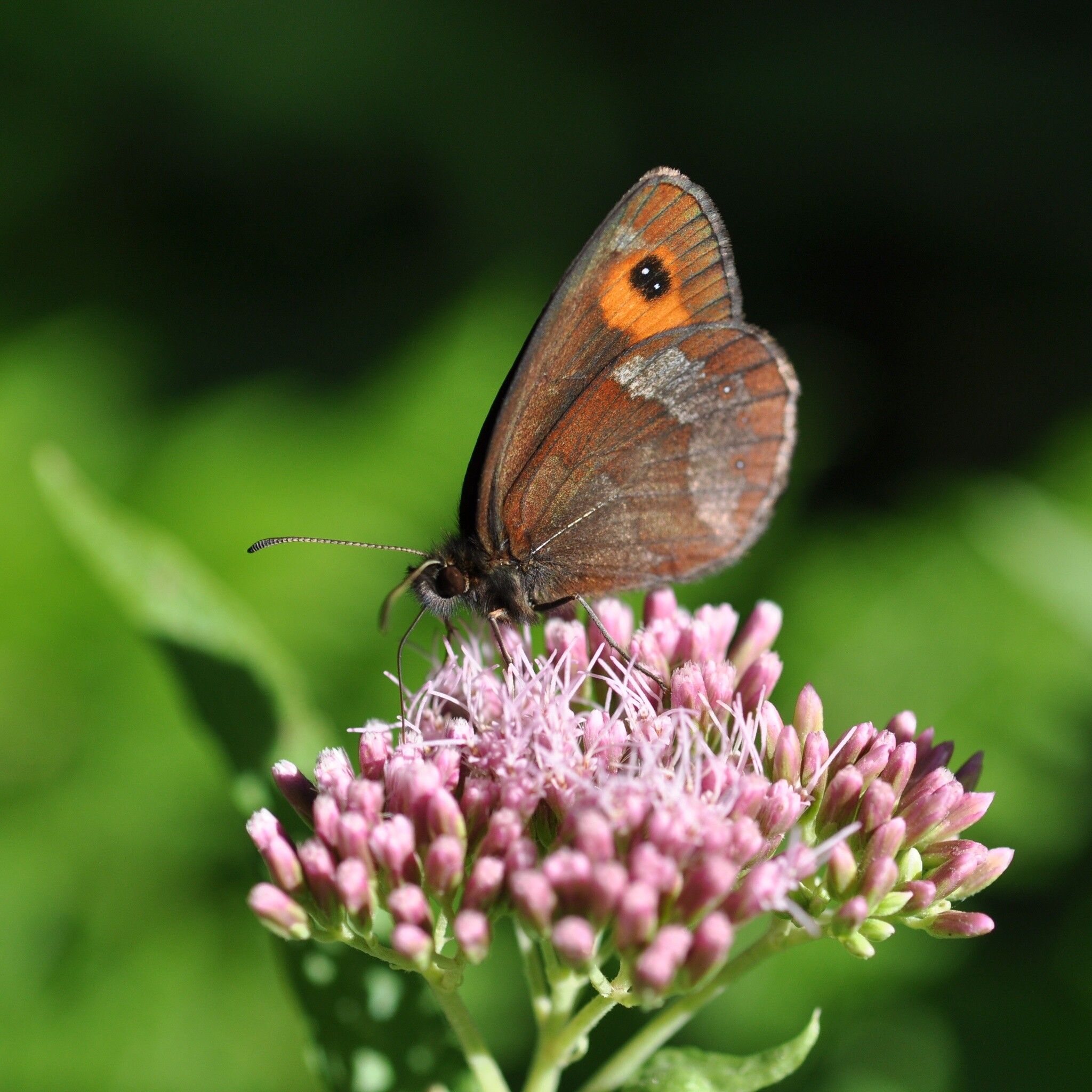
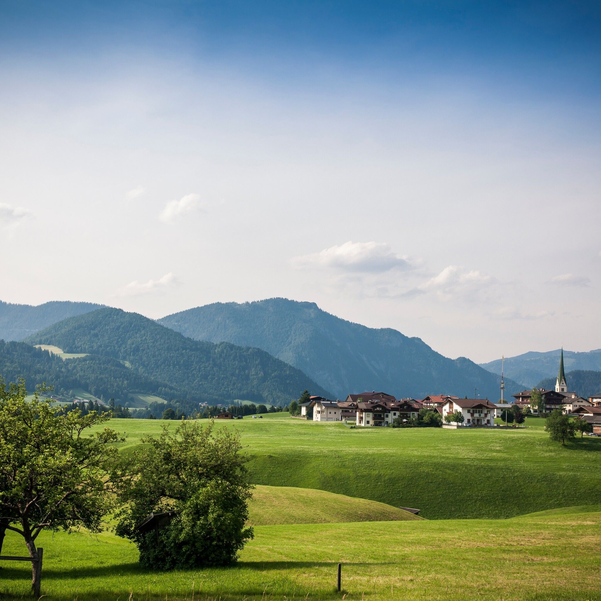
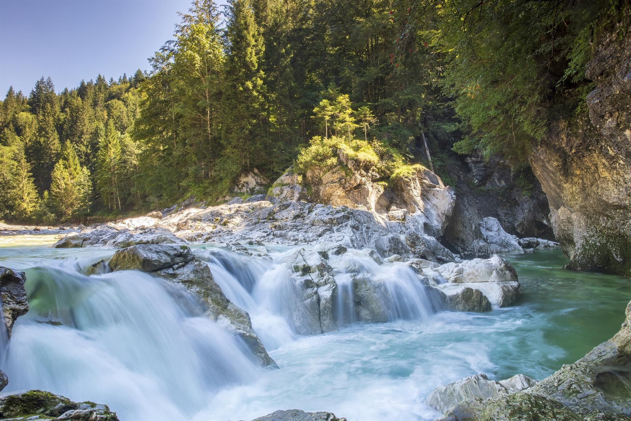
The wild romantic high valley Brandenberg in the Alpbachtal region is home to a unique fauna and flora with its extensive forests.

Due to the natural dynamics of the forests and the remoteness from large settlements, the Brandenberg valley hosts an above-average variety of different butterfly habitats. According to current knowledge, more than 800 different butterfly species live in the Brandenberg valley! Experience for yourself the Brandenberg butterflies, their beauty and lightness, and their natural habitat! In this circular route, you will experience the hot spots of the Brandenberg butterfly fauna!

The best time for butterfly observation

  • Ideal: mid-June to mid-August
  • Favorable: late May to early September

Nearby huts and mountain restaurants

Getting here

  • Arrival by public transport

    Accessible by bus 4070

    www.vvt.at

  • Parking

    paid parking lot Gasthof Kaiserhaus

More tours in the surrounding area

  • 3-day Family Tour Alpbachtal

    Difficulty: easy
    Length: 18.3 km Duration: 7:00 h Elevation uphill: 998 m
  • Loop tour Juppi Zauberwald

    Difficulty: easy
    Length: 2.5 km Duration: 1:00 h Elevation uphill: 93 m
  • Kundler Klamm

    Opening hours: closed
    Difficulty: easy
    Length: 6.4 km Duration: 2:00 h Elevation uphill: 116 m
  • 4 days - 4 summits tour

    Difficulty: medium
    Length: 54.4 km Duration: 23:00 h Elevation uphill: 3,408 m
  • Kaiser Gorge - loop trail

    Opening hours: closed
    Difficulty: easy
    Length: 4.2 km Duration: 1:00 h Elevation uphill: 198 m
  • Voldöpper Spitze Loop Hike

    Difficulty: medium
    Length: 12.9 km Duration: 5:00 h Elevation uphill: 988 m
  • Farmkehralm 1.521 m

    Difficulty: medium
    Length: 9.3 km Duration: 3:30 h Elevation uphill: 506 m
  • Wiedersberger Horn Panorama Path

    Difficulty: easy
    Length: 4.1 km Duration: 1:30 h Elevation uphill: 195 m
  • Day 1: 4 days - 4 summits tour

    Difficulty: medium
    Length: 9.8 km Duration: 5:00 h Elevation uphill: 984 m
  • 3-peak-tour Kienberg-Plessenberg-Heuberg

    Difficulty: medium
    Length: 8.6 km Duration: 4:30 h Elevation uphill: 779 m
  • Day 3: 4 days - 4 summits tour

    Difficulty: medium
    Length: 19.3 km Duration: 8:00 h Elevation uphill: 1,371 m
  • Discovering the Tiefenbach Gorge Hike

    Opening hours: closed
    Difficulty: medium
    Length: 5.7 km Duration: 3:30 h Elevation uphill: 669 m
  • Barrier-free path Lake Reintal

    Difficulty: easy
    Length: 6.5 km Duration: 1:45 h Elevation uphill: 15 m
Newsletter

The mountain is calling? So does our newsletter!

In our monthly newsletter we reveal the best holiday tips for Tyrol.