Mountain hikes Circular Europe Panorama Trail

Matrei in Osttirol / Granatspitzgruppe
Difficulty ratings: medium
Route length: 6.9 km
Duration: 2:30 h

Circular Europe Panorama Trail

Tour information

  • Requirement: medium
  • Length: 6.9 km
  • Duration: 2:30 h
  • Elevation uphill:290 hm
  • Elevation downhill:290 hm
Highest point2,210 m

Starting point

Matreier Goldried Bergbahnen

Finishing point

Bergstation Blauspitz
  • Fitness level 2 / 6
  • Technique 2 / 6

Features

  • Circular route
  • Suitable for families

Best time of year

  • January
  • February
  • March
  • April
  • May
  • June
  • July
  • August
  • September
  • October
  • November
  • December
Source: Nationalparkregion Hohe Tauern Osttirol

Description

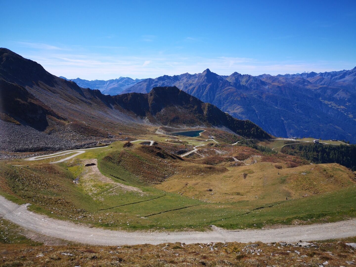
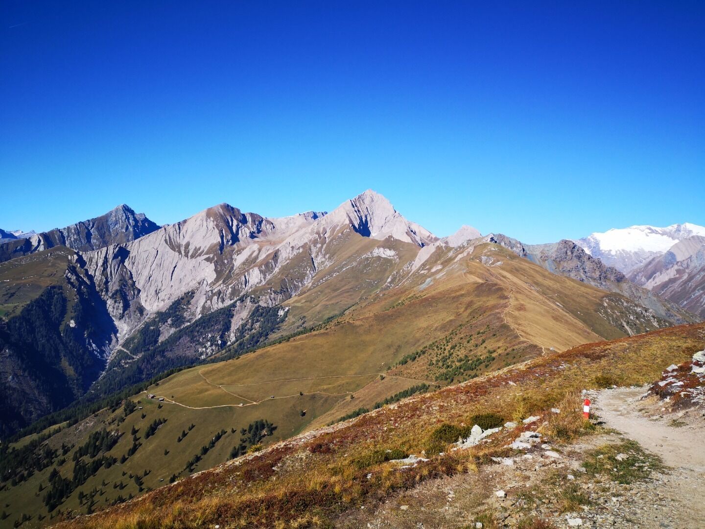
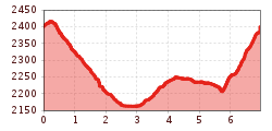
This hike can be started either from the mountain station of the Matreier or the Kalser mountain railway. The summit world of the Hohe Tauern National Park with over 66 three-thousand-metre peaks accompanies you at every turn.

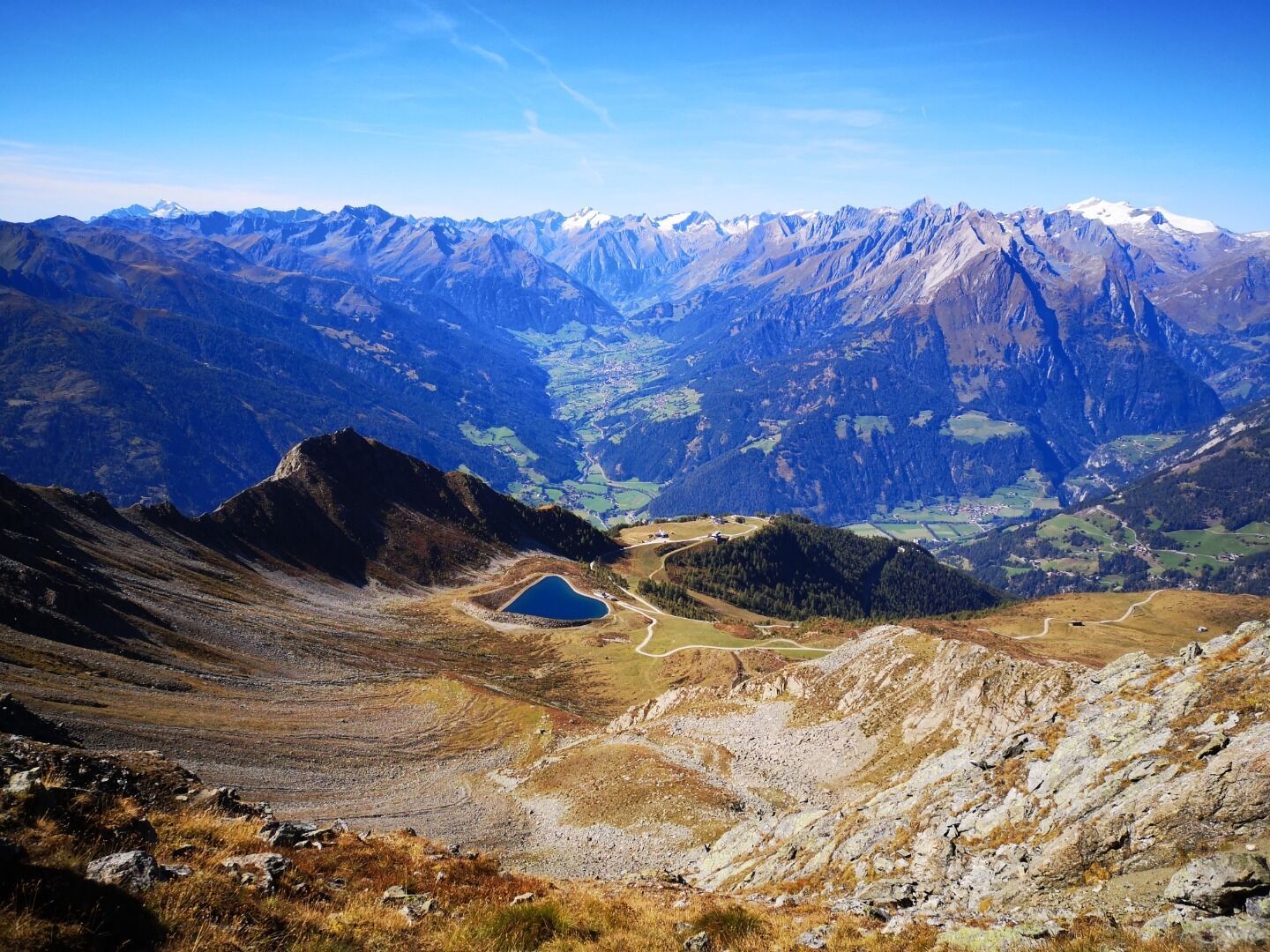
On the wide Europa Panorama Trail you hike without much effort at the same altitude via the Goldriedalm to the Kals-Matreier Törl. At the Törl, you can see the striking mountains Glödis, Böses Weibele, Hochschober and also Kals am Großglockner.

After the Kals-Matreier-Törl-Haus, you take a beautiful trail to the starting point of the hike. You can return to the valley by cable car or on foot.

Nearby huts and mountain restaurants

Getting here

  • Arrival by public transport

    Matrei in Osttirol Süd

  • Parking

    Parkplatz Matreier Goldried Bergbahnen

More tours in the surrounding area

Newsletter

The mountain is calling? So does our newsletter!

In our monthly newsletter we reveal the best holiday tips for Tyrol.