
Opening hours:Open today
Place:Kals am Großglockner
:Alpine pasture / hut / mountain restaurant
Wunderschön gelegener Bergsee


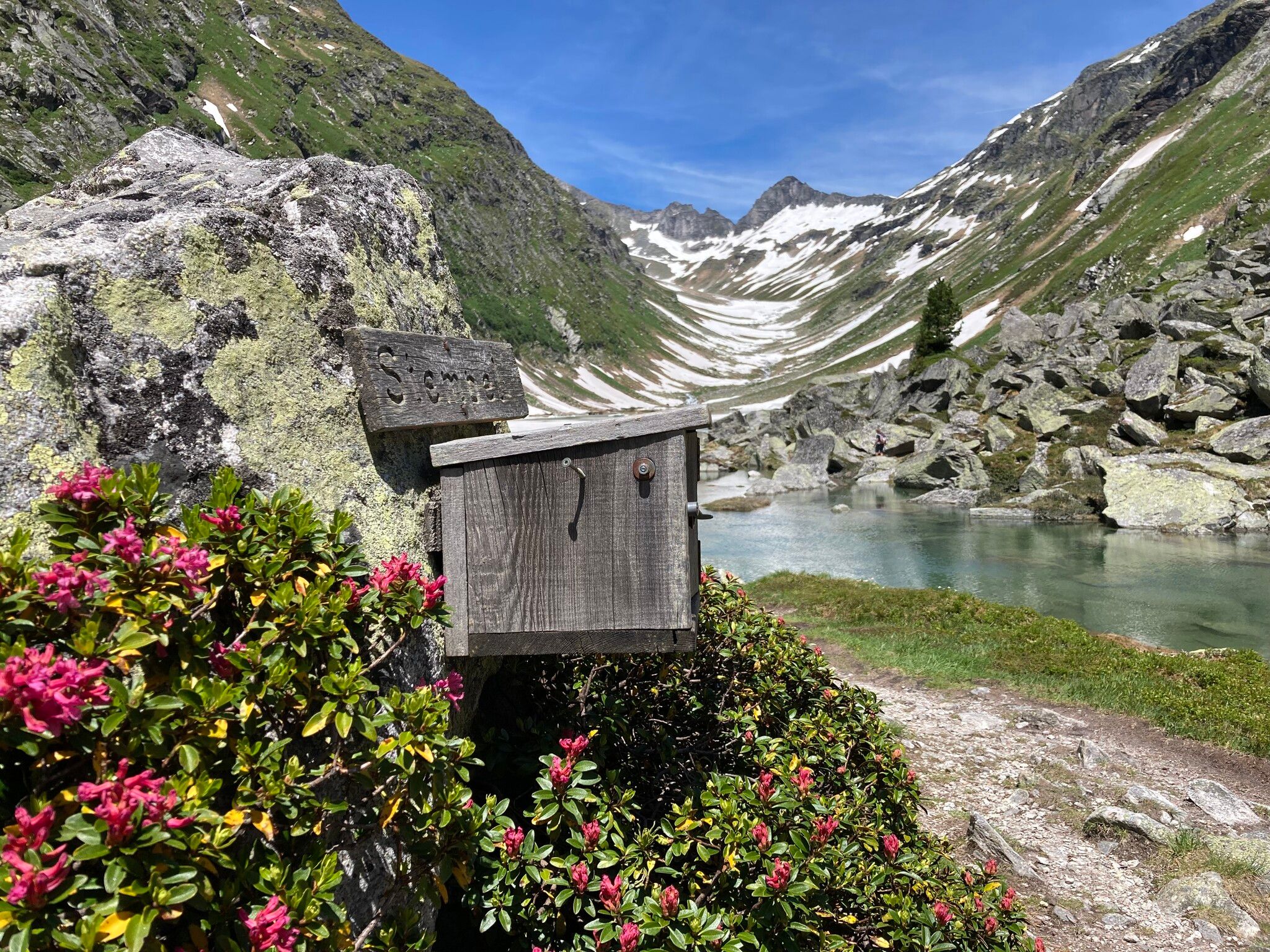
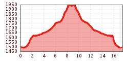
Hike through the Dabaklamm gorge into the Dorfertal valley; it takes about 1 hour to reach the Bergeralm snack bar (1,637 m), and another hour to the Kalser Tauernhaus (1,754 m). From there, the trail climbs gently for another hour until you reach the Dorfersee (1,935 m), which was formed after a massive rockslide;
Along the trail above the Tauernhaus, five National Park educational signs guide you through the biotope conservation area, providing detailed information about the valuable flora and fauna of the upper Dorfertal and the still-intact slope moor landscape found there. An overall easy hike with plenty of varied informational opportunities; however, an ascent in the final section requires a certain level of fitness. Rewarding photo opportunities and cultural and natural history trail information await you;
A taxi transfer is available to the Kalser Tauernhaus. Reservations: Taxi Glocknertours, Tel. +43 664 5219089
with bus line 952 until bus stop Kals /Taurer
Parking lot Dorfertal


www.bergpixel.de")


