Hut hike From the Eng to the Lamsenjoch Cabin (IVV)

Vomp / Karwendel
Difficulty ratings: medium
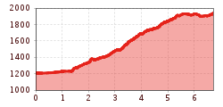
Route length: 13.0 km
Duration: 6:15 h

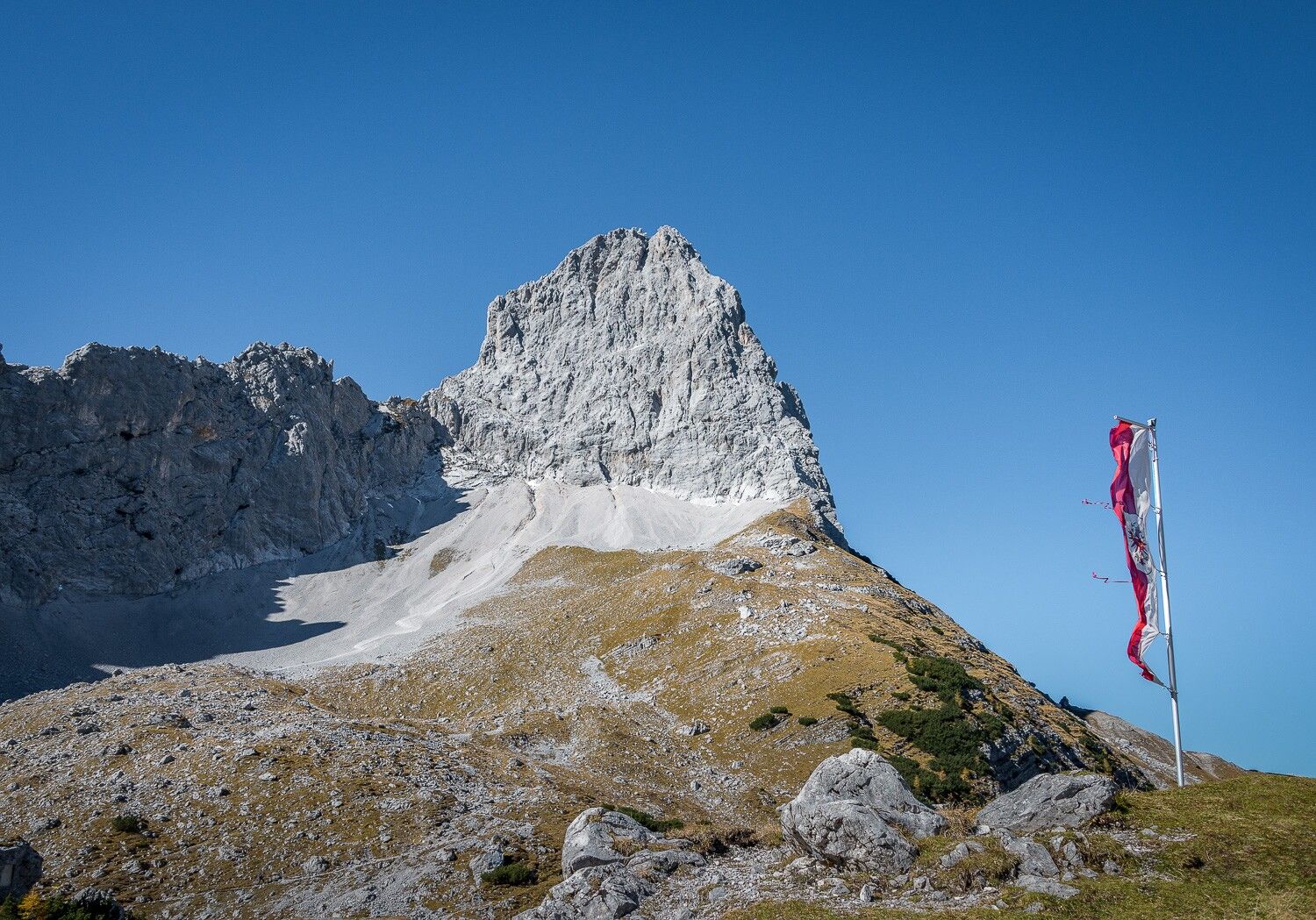
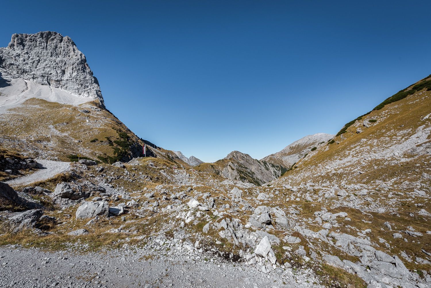
A hike with magnificent views of the Karwendel mountains.
Tour information

  • Requirement: medium
  • Length: 13.0 km
  • Duration: 6:15 h
  • Elevation uphill:870 hm
  • Elevation downhill:865 hm
Highest point1,941 m

Starting point

Eng, Car park P10

Finishing point

Lamsenjochhütte
  • Fitness level 3 / 6
  • Technique 3 / 6

Best time of year

  • January
  • February
  • March
  • April
  • May
  • June
  • July
  • August
  • September
  • October
  • November
  • December

Trail condition

wide forest track, footpath

Equipment

  • Sturdy footwear
  • Rainwear/sun protection
  • Plenty of drinking water/snacks
Source: TVB Silberregion Karwendel

Description

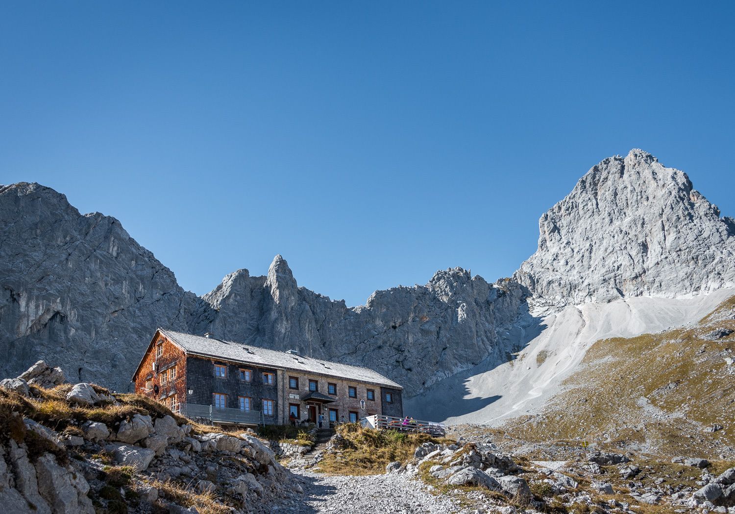
From the green alpine meadows of the Eng, the route winds its way through various vegetation zones up into the high-altitude region. There – in a unique setting, framed by jagged rock formations – the Lamsenjochhütte has stood for over a hundred years, offering not only shelter and accommodation but also hearty Tyrolean fare.

Of course, you should also allow time for a rest on the way back. The sunny viewing terrace in front of the Binsalm is a lovely spot to sit.

Nearby huts and mountain restaurants

Getting here

  • Parking

    Car park P10

Weather

Today

light rain showers
21°C/13°C
90%14.9l5 km/h

Sat

light rain showers
21°C/12°C
50%1.1l5 km/h

Sun

mainly clear
22°C/12°C
40%0.2l5 km/h
Go to weather forecast

More tours in the surrounding area

Newsletter

The mountain is calling? So does our newsletter!

In our monthly newsletter we reveal the best holiday tips for Tyrol.