Mountain hikes Gratlspitz and Hösljoch

Difficulty ratings: difficult
Route length: 13.0 km
Duration: 7:00 h

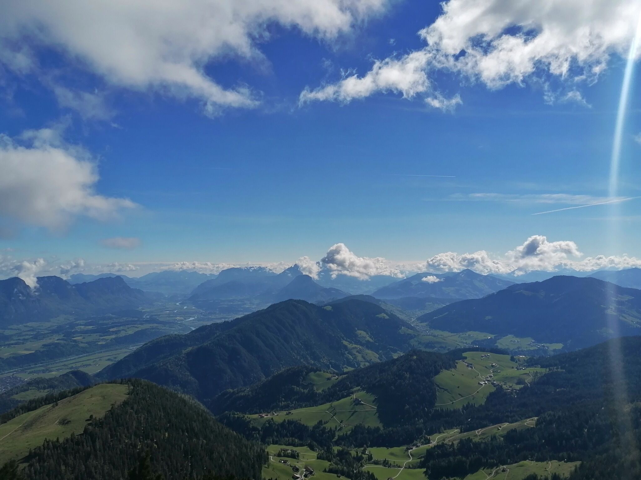
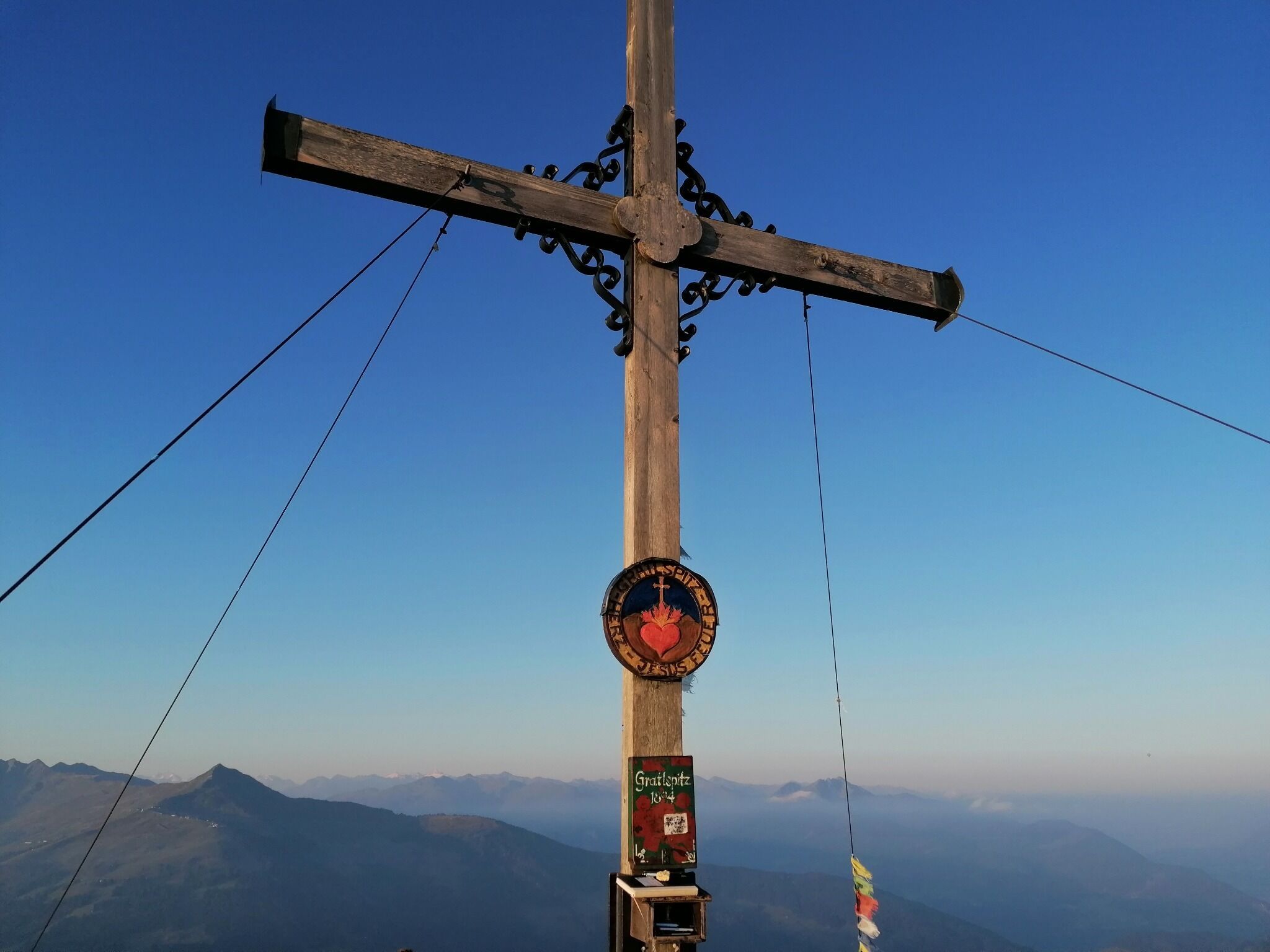
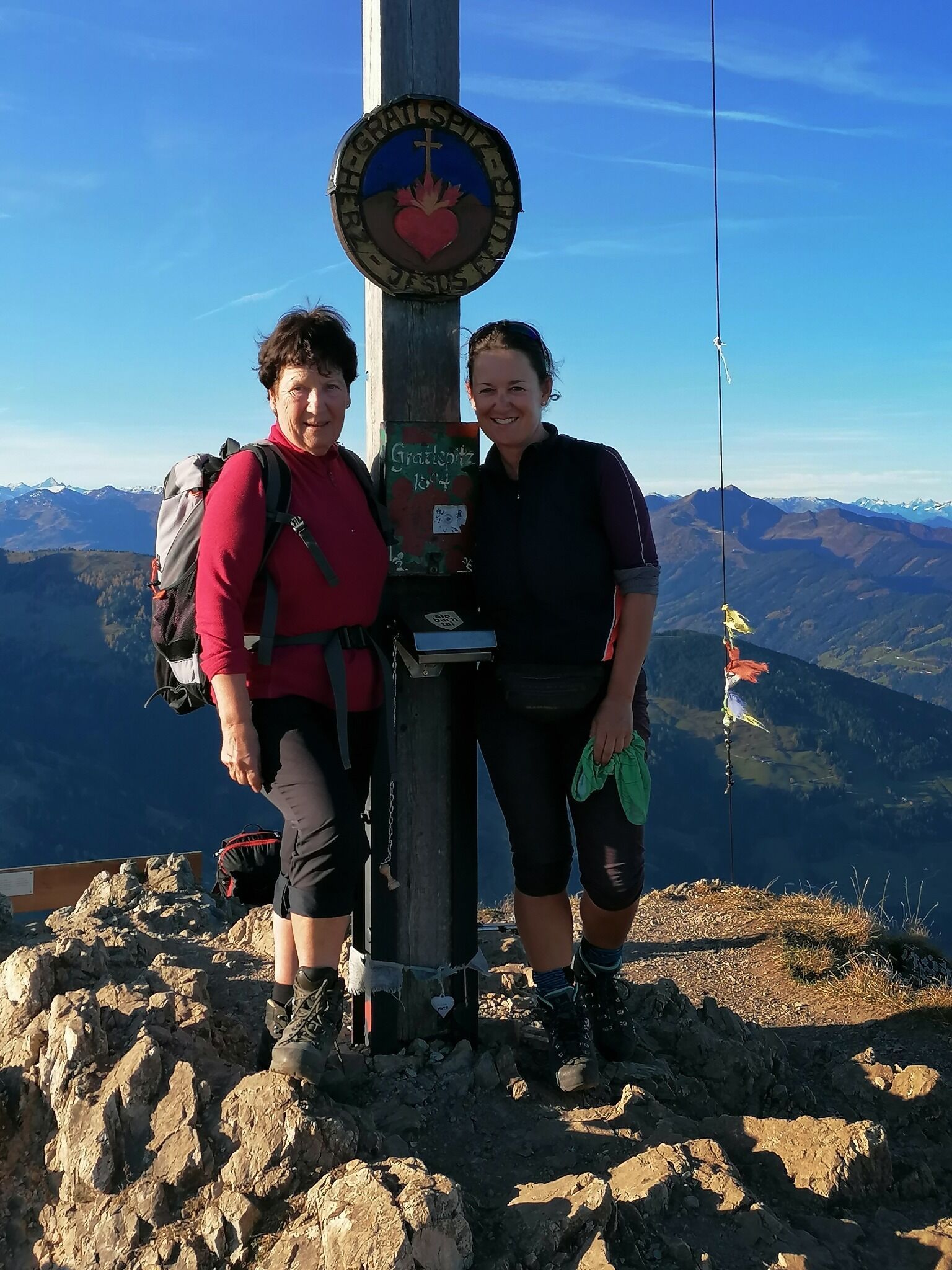
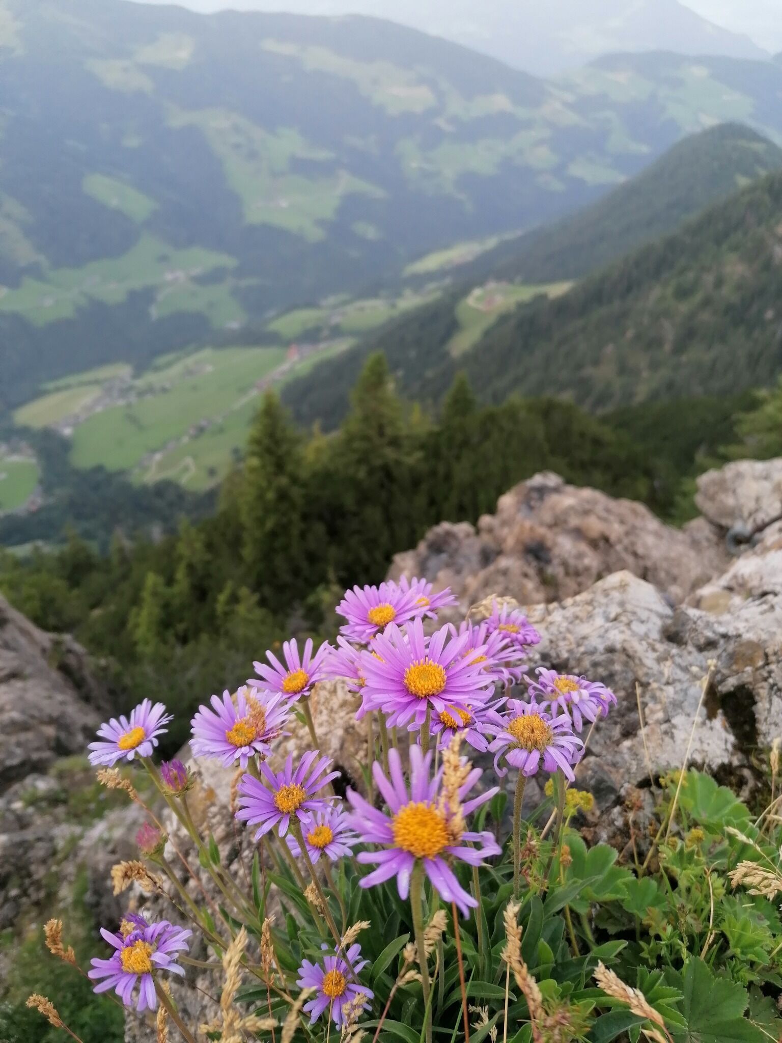
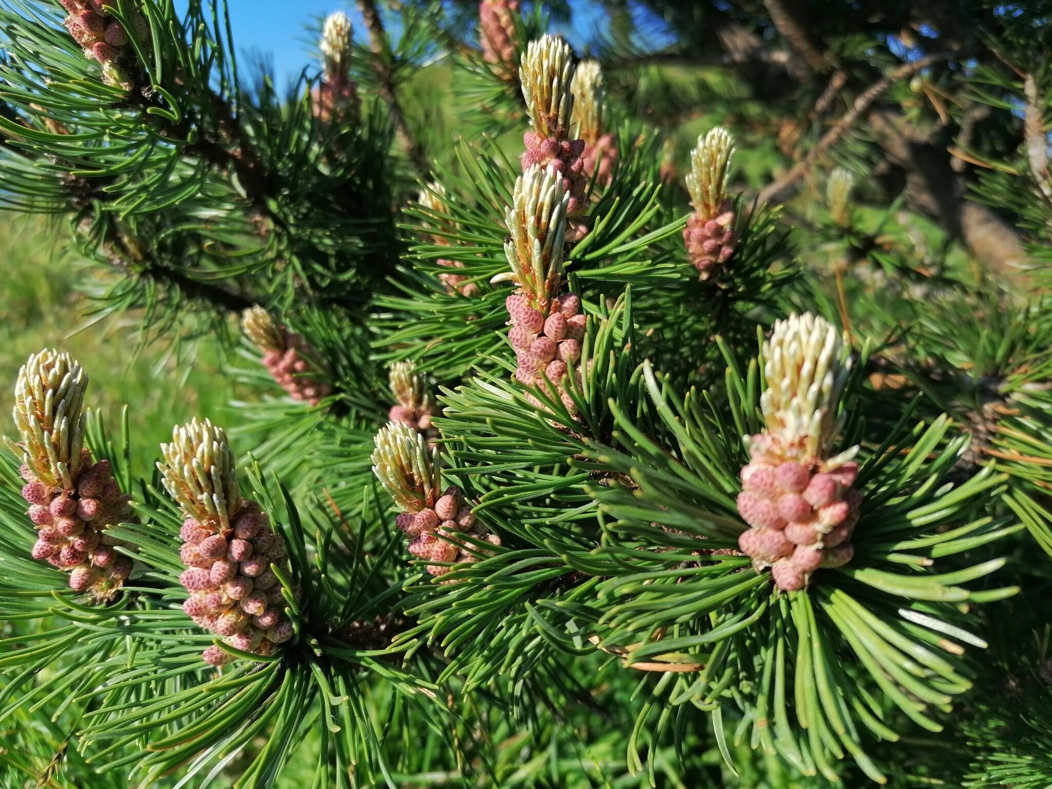
Hike to the Gratlspitz - 1893 metres

Tour information

  • Requirement: difficult
  • Length: 13.0 km
  • Duration: 7:00 h
  • Elevation uphill:970 hm
  • Elevation downhill:970 hm
Highest point1,893 m

Starting point

Klinglerhof Thierbach

Finishing point

Klinglerhof Thierbach
  • Fitness level 4 / 6
  • Technique 4 / 6

Features

  • Circular route

Best time of year

  • January
  • February
  • March
  • April
  • May
  • June
  • July
  • August
  • September
  • October
  • November
  • December

Trail condition

Asphalt, Forstweg, Steig

Description

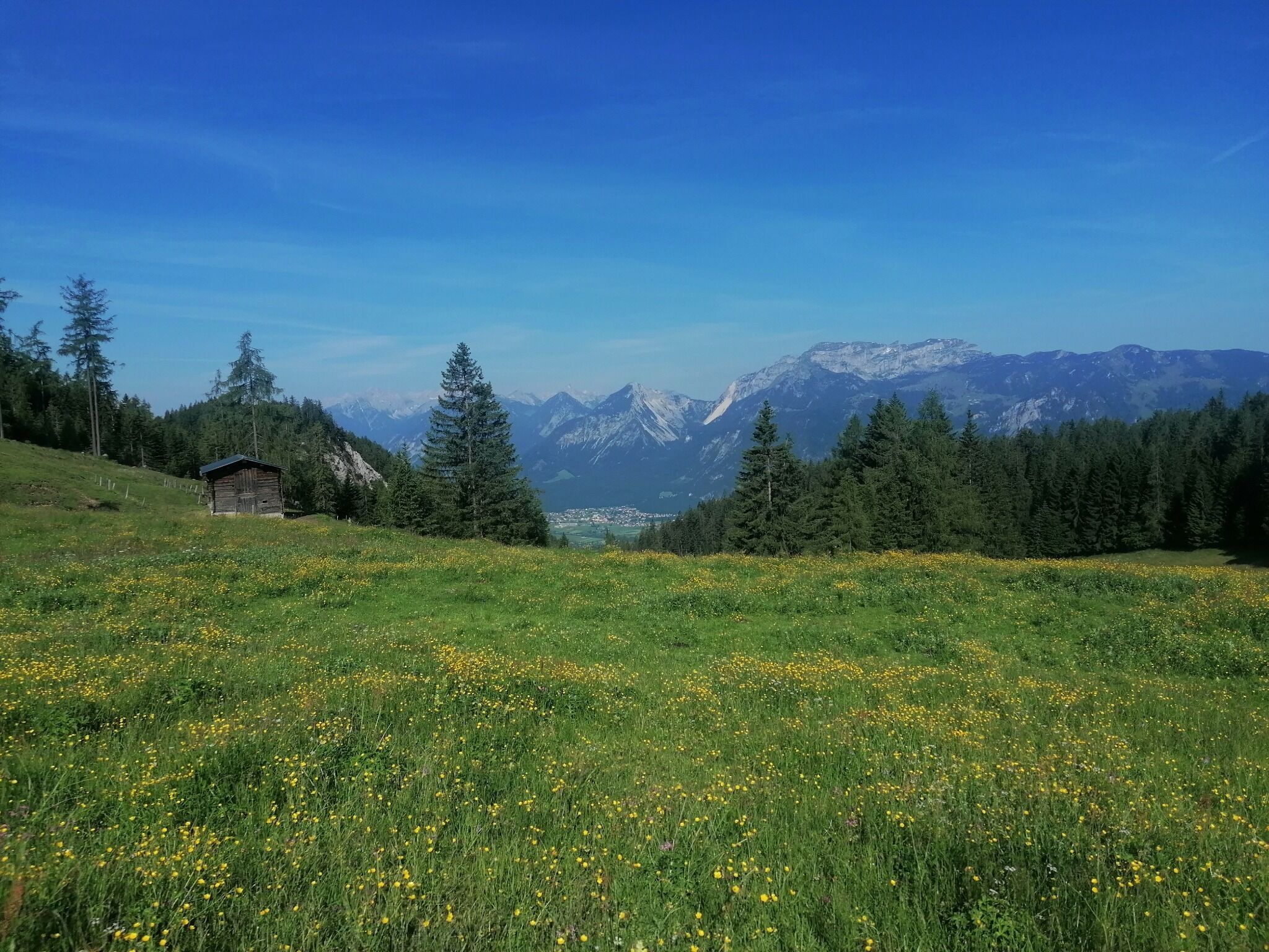
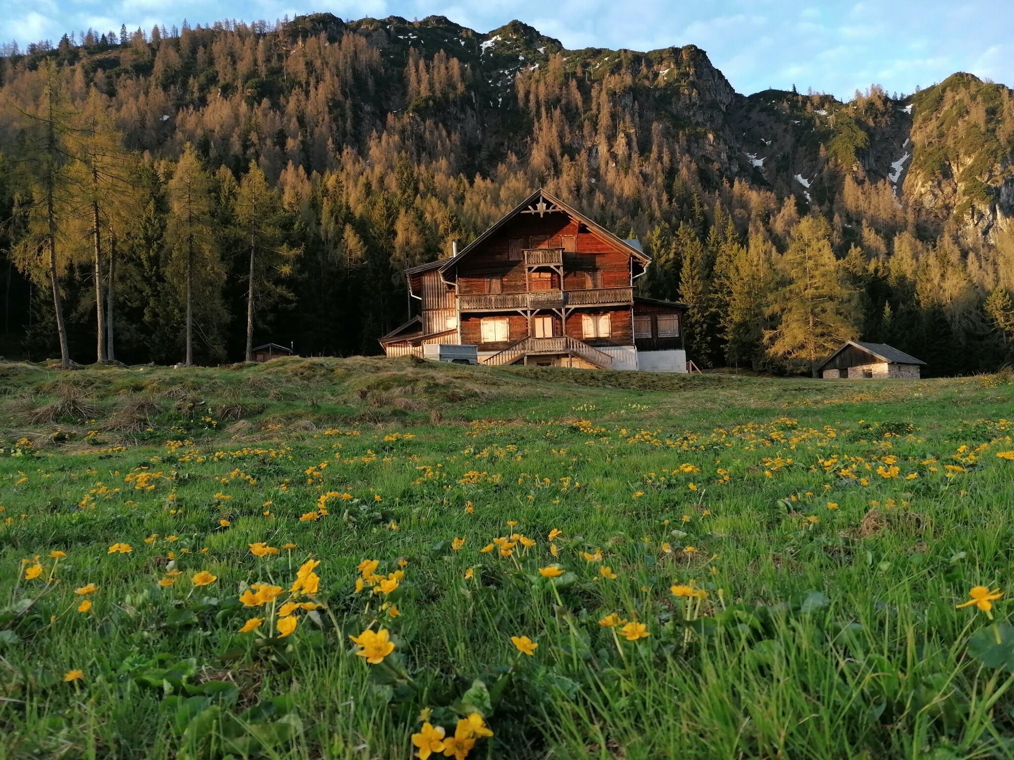
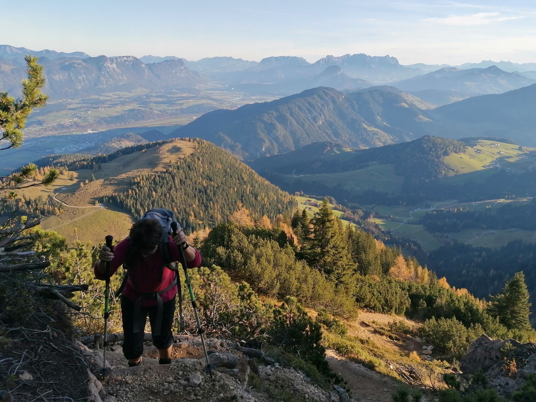
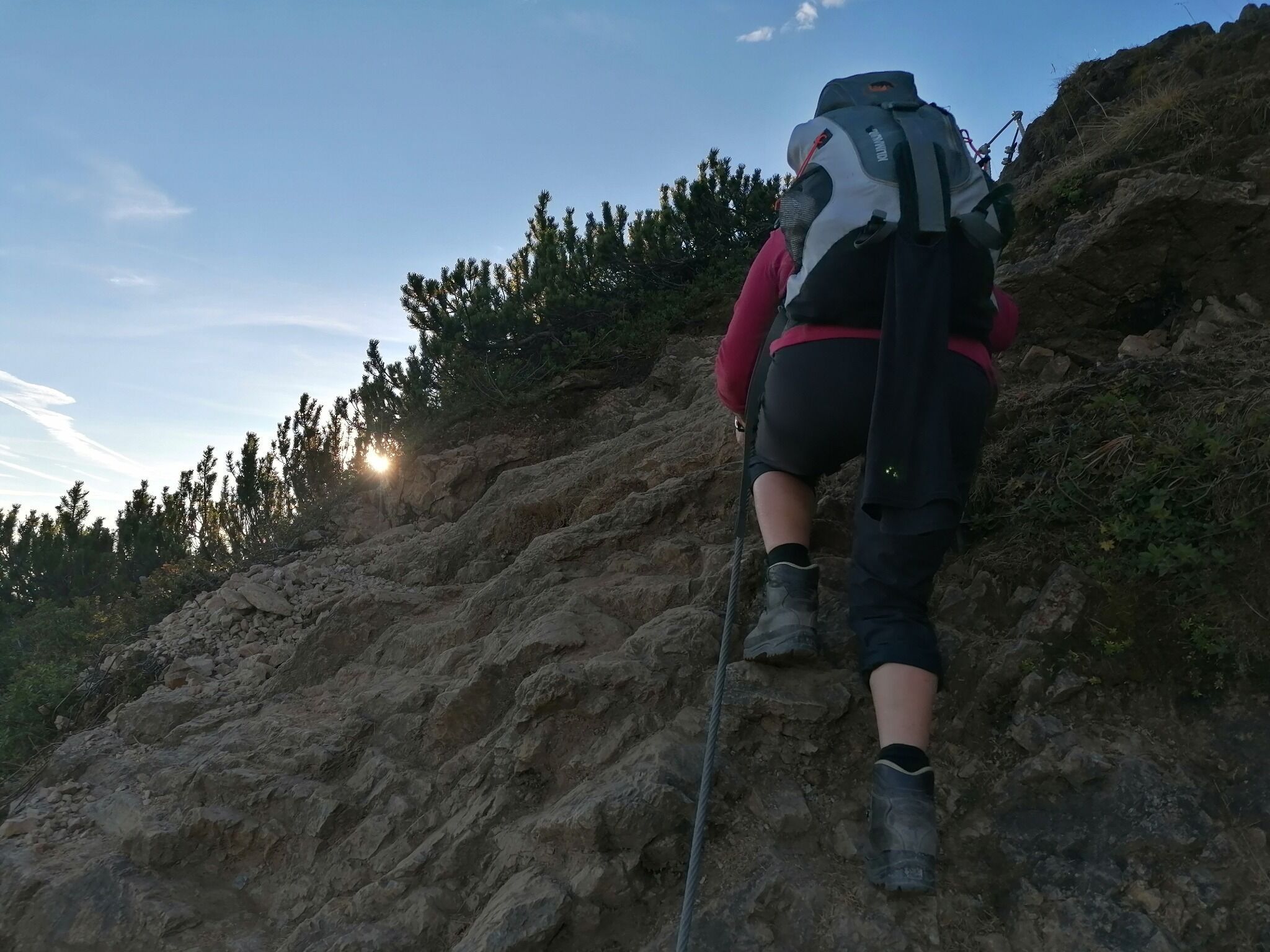
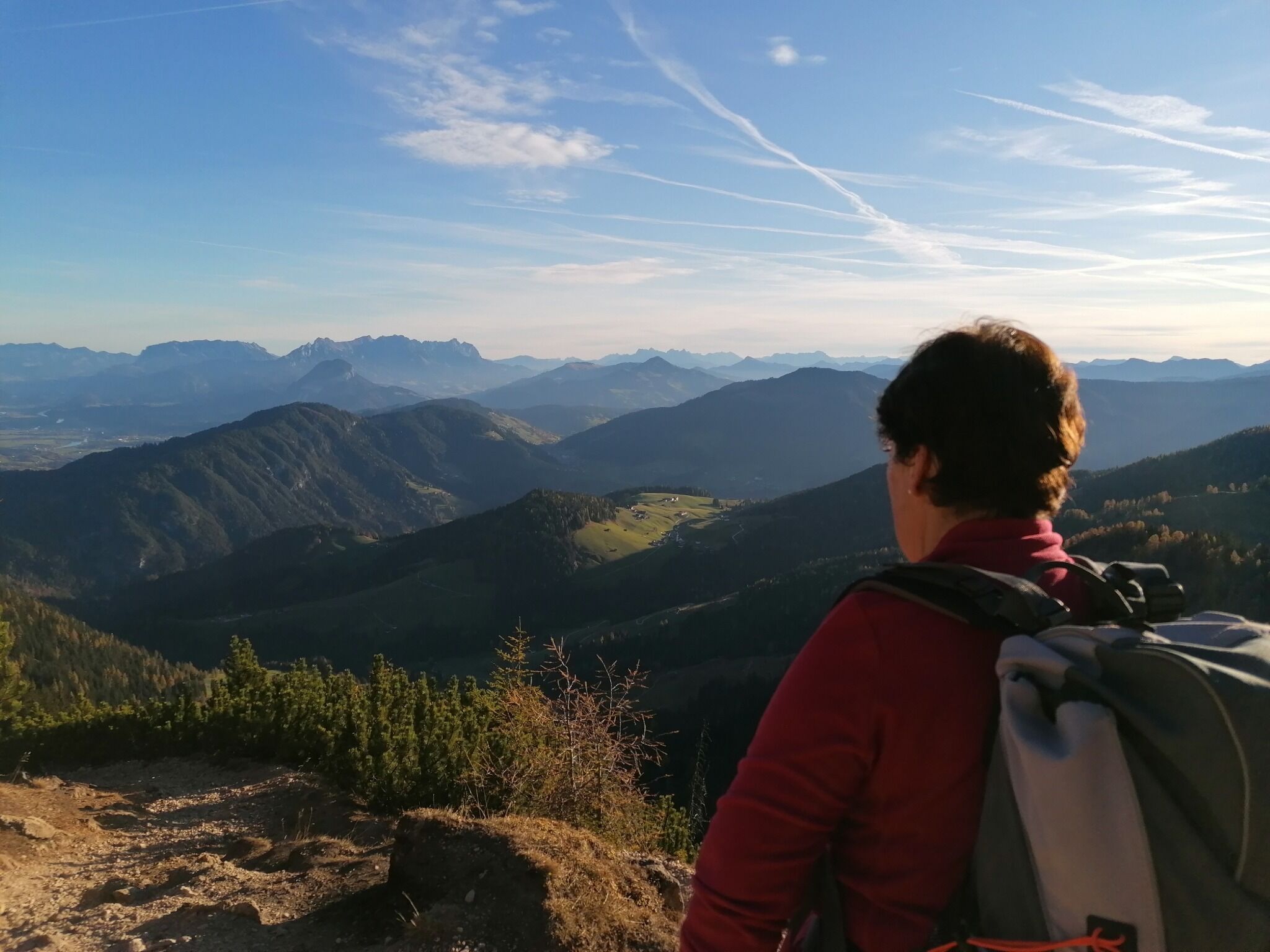
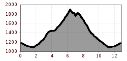
Start at the Klinglerhof outside Thierbach.(The hut is no longer open). Take the uphill track to the Holz Alm Hut. From here the path becomes steep leading to the summit. More experienced walkers take the steep downhill path to the eastern summit. At the crossroads to Alpbach take the narrow and steep ascent via the Hausberg Alm and Hösljoch back to the Klinglerhof.


Nearby huts and mountain restaurants

More tours in the surrounding area

Newsletter

The mountain is calling? So does our newsletter!

In our monthly newsletter we reveal the best holiday tips for Tyrol.