
Opening hours:Open today
Place:Scharnitz
:Alpine pasture / hut / mountain restaurant
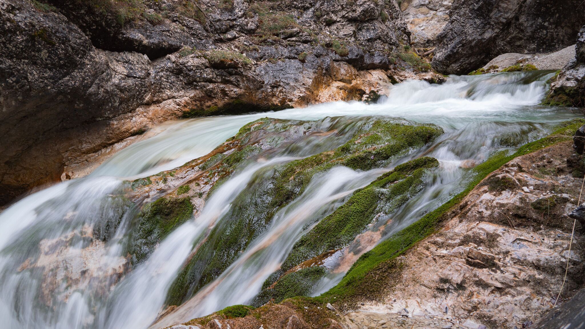
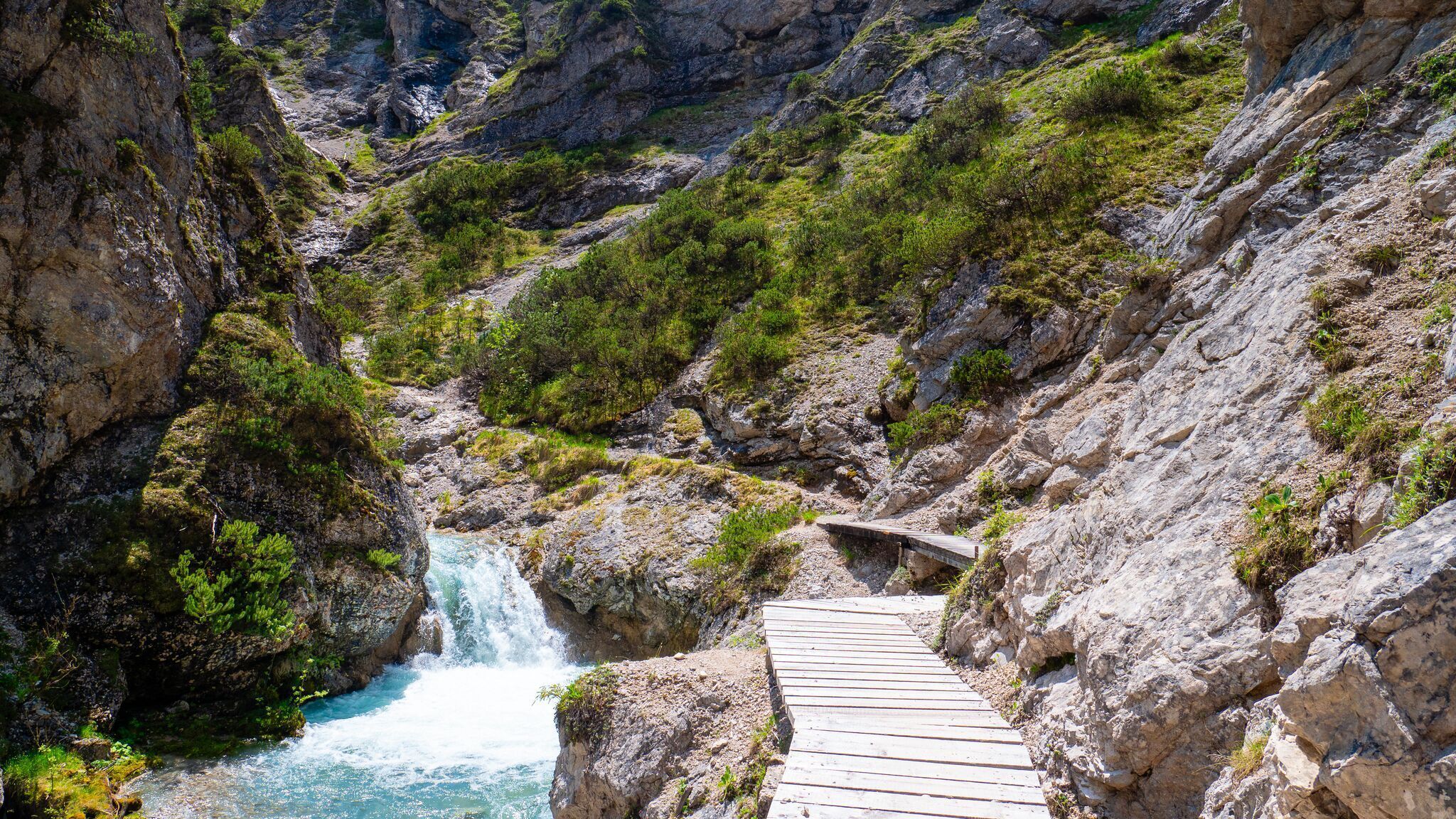
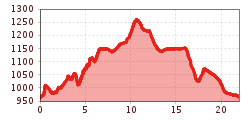
Moderate hike from Scharnitz through the wild and romantic Gleirschklamm to the Möslalm (1,261 m), featuring impressive waterfalls and a cozy rest stop.
Forest roads, woodland paths, and gravel trails.
All current information about the trail closures in the Region Seefeld can be found here.
Have you been out and about in the Region and discovered a spot that we should rework or repair? Fill out the form "Report a danger zone" and let us know where work is needed.
Sturdy hiking shoes, functional clothing, a backpack, water, snacks, alpine experience, and sure-footedness are necessary for this tour!
Also recommended: a hiking map or GPS, a first aid kit, sun protection, hiking poles, and an emergency blanket.
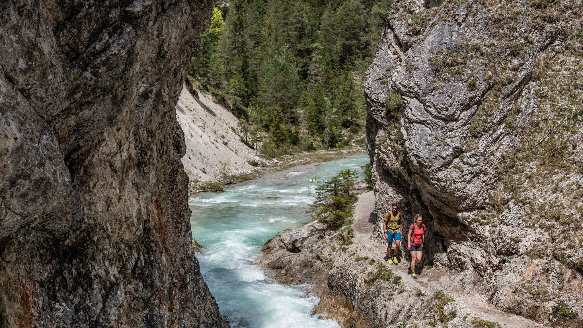
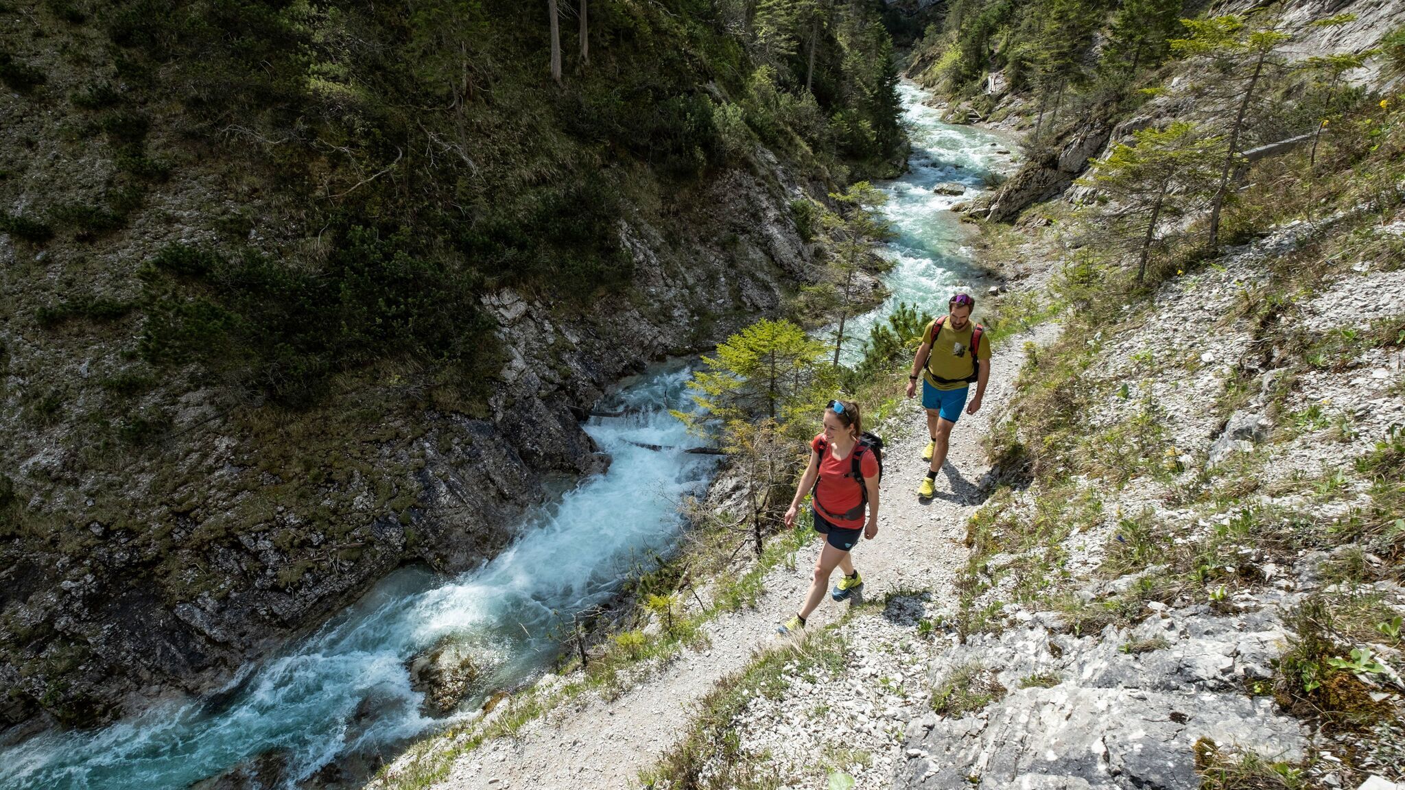
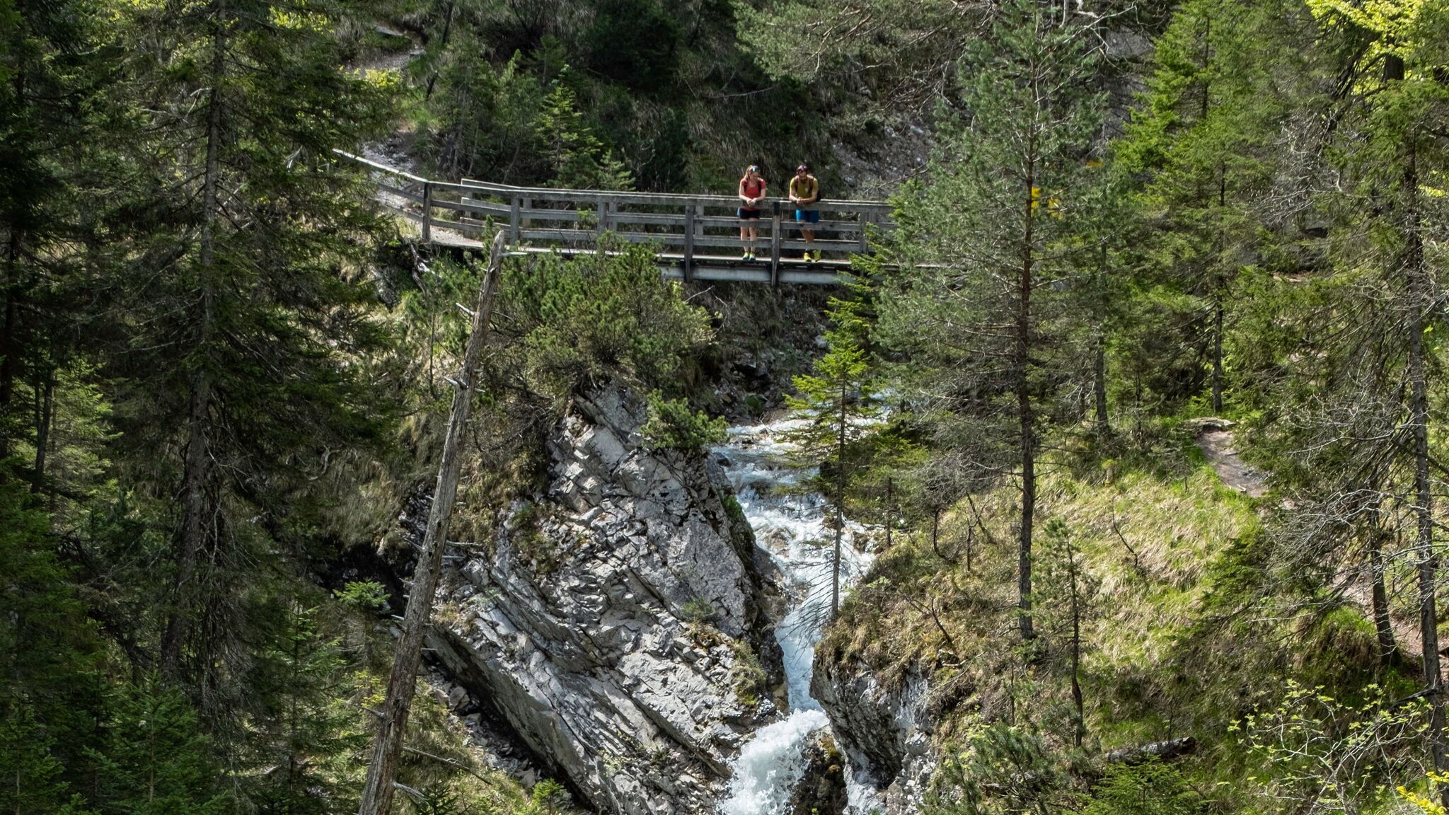
The hike through Gleirschklamm Gorge to Möslalm starts at the Nature Park Information Centre in Scharnitz and initially follows the paved Hinterautalstraße. Gleirschklamm Gorge is located at the entrance to the Karwendel Nature Park and impresses with its pristine, almost untouched natural surroundings. After around 400 metres, shortly before a house, the route turns onto the Isarsteig trail, following the signs marked “Gleirschklamm via Scharnitzer Alm”.
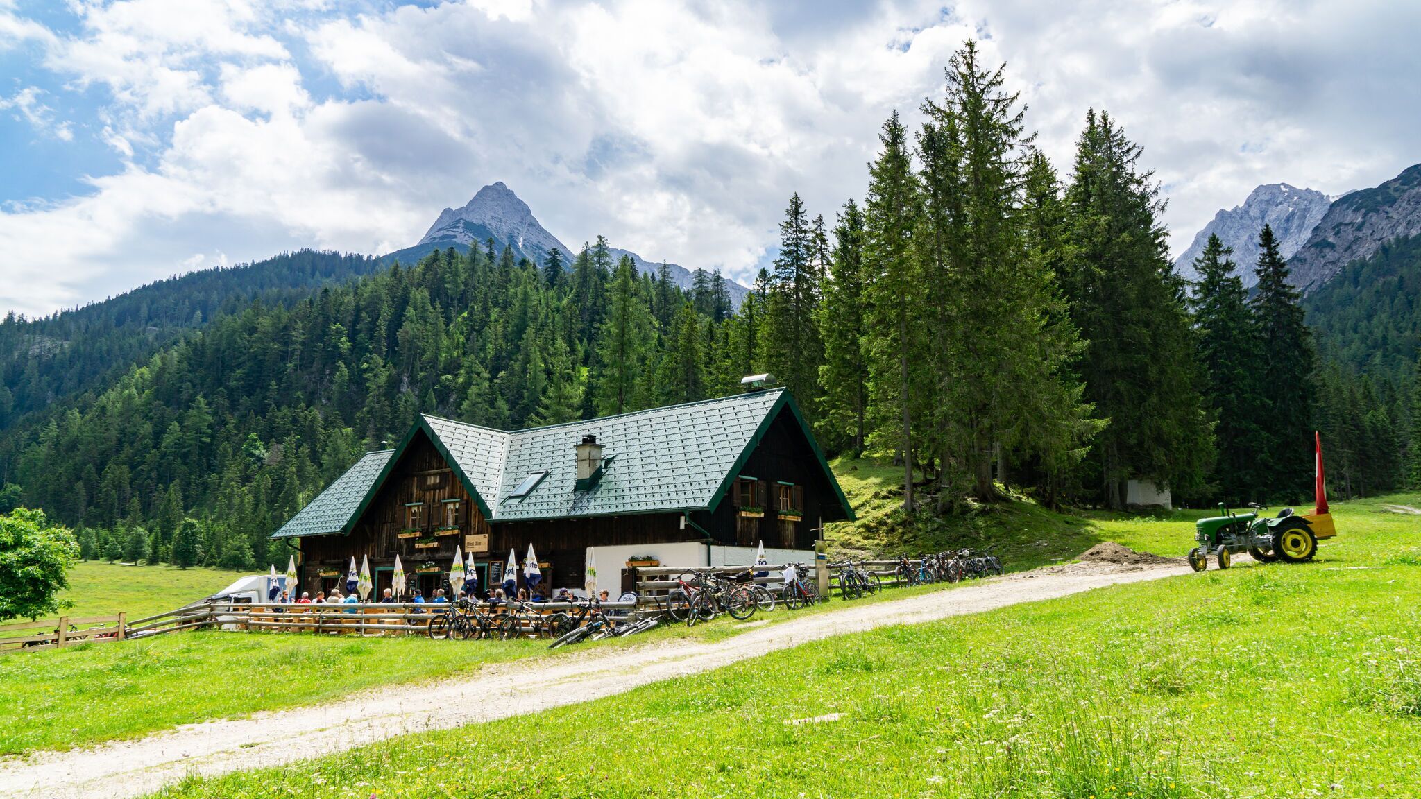
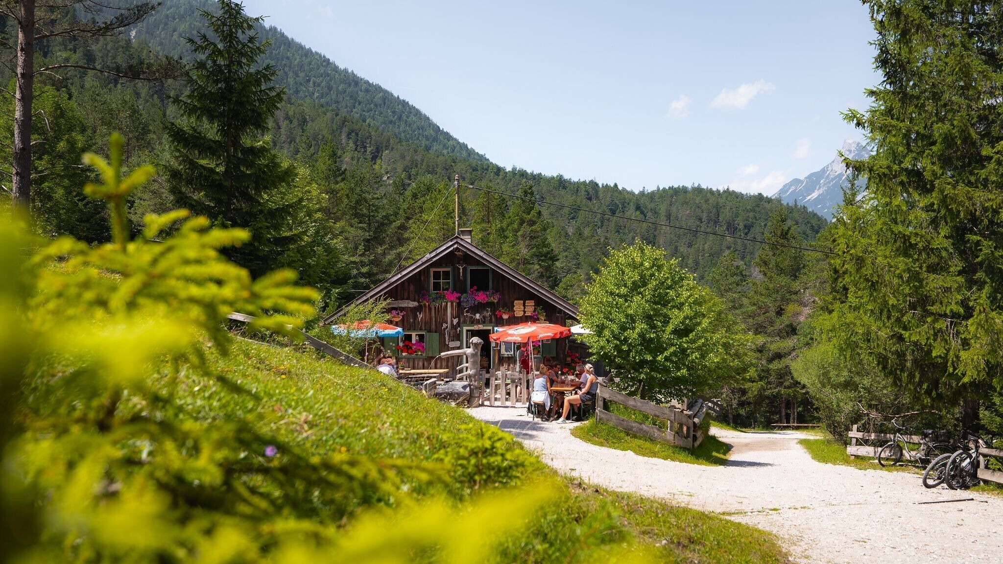
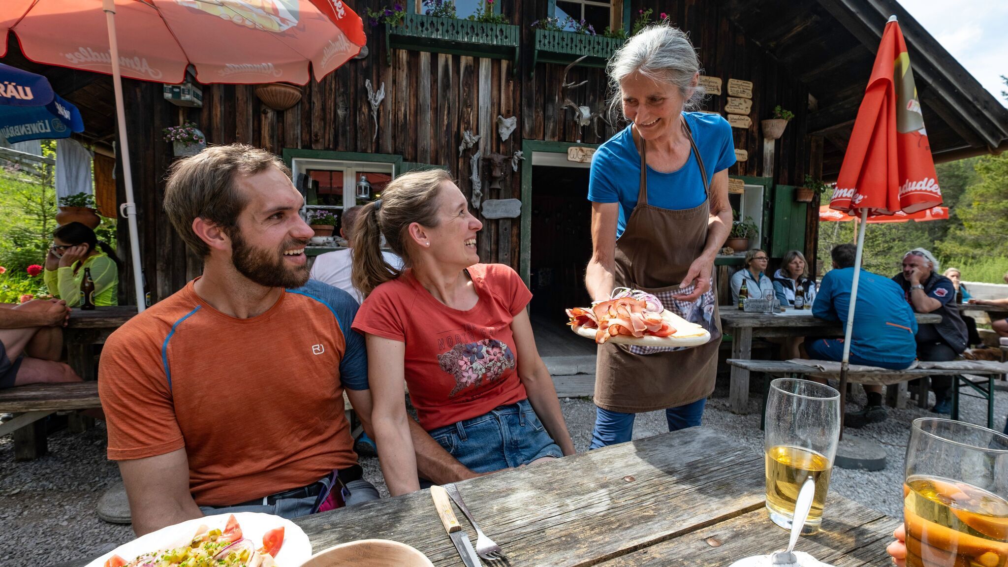
The Isarsteig is a short forest path offering repeated views of the Isar River. At the end of the trail, the route continues towards Scharnitzer Alm, an ideal place for a relaxed refreshment break. After a short rest, the hike continues.
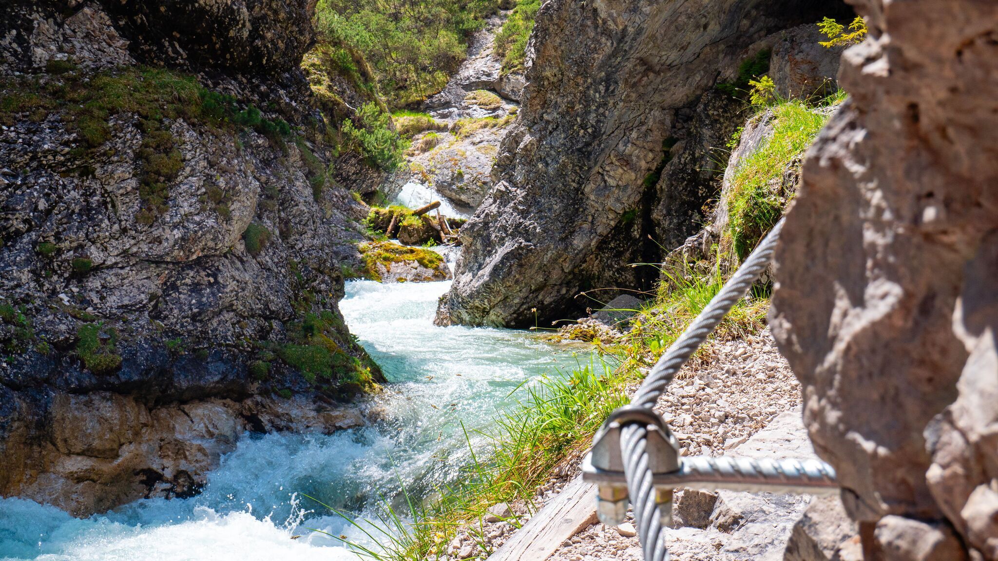
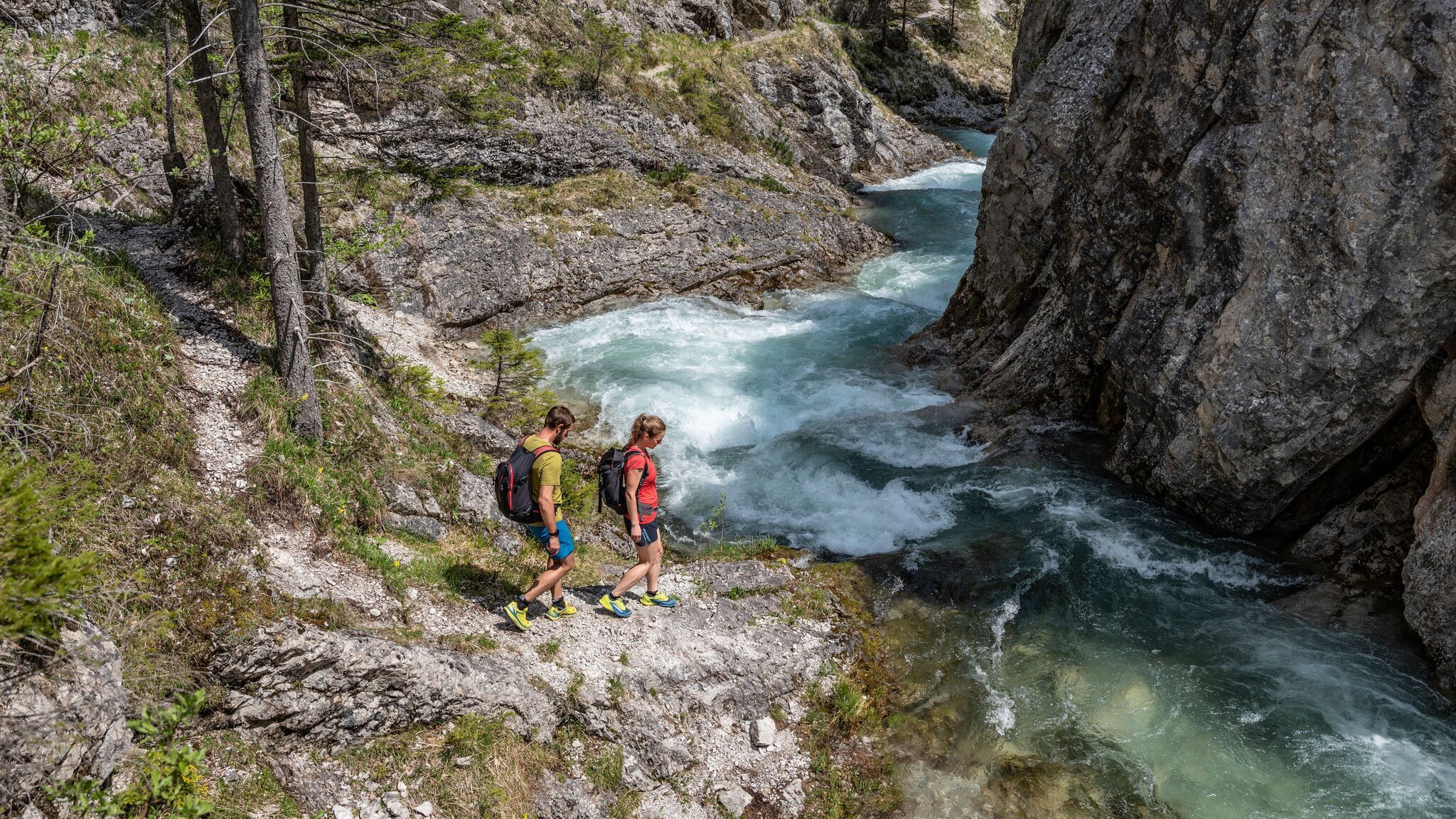
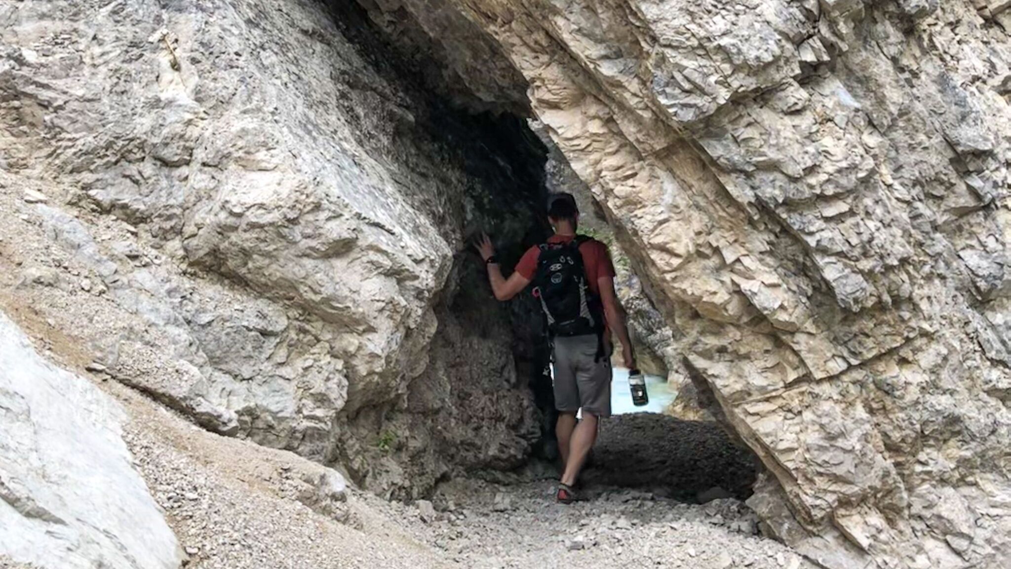
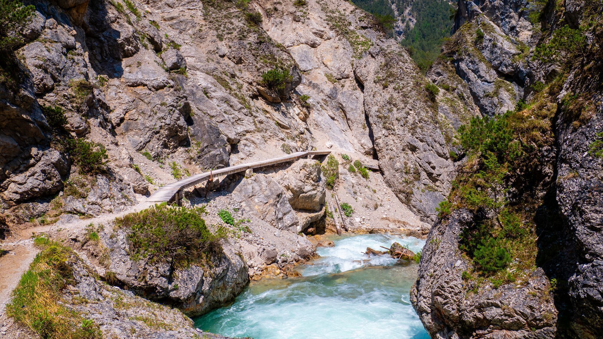
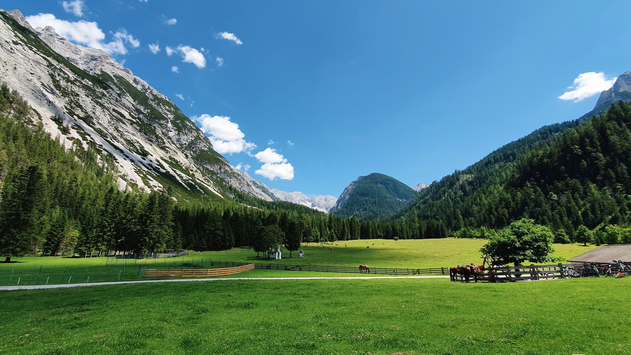
From Scharnitzer Alm, the trail follows the Nederweg to the entrance of Gleirschklamm Gorge. A narrow path leads through the wild and romantic gorge, offering sure-footed and experienced hikers a special nature experience. The trail ends at a forest road, where the route turns left and continues to the Gleirschtal forest road. From there, the path follows the valley inwards to the right, leading to Möslalm.
After a well-earned break and refreshments at Möslalm, the return journey begins. First, the route follows the Amtssägenweg, passing the hunting lodge in the Gleirschtalvalley. The path then rejoins the forest road already used earlier in the hike.
The route continues along this road until it is possible to descend once again into Gleirschklamm Gorge. From here, there are two options: either return to the starting point through the gorge or follow the forest road via the so-called Krapfen area back to Scharnitz.
Choosing the second option, the route follows the signs towards Scharnitz, passing the Krapfen area and the Gleirschhöhe, where a small summit cross and impressive views await. The path continues past the Isarlodge Wiesenhof, before following the paved road back to the Nature Park Information Centre in Scharnitz.
By train to Scharnitz train station, then a 10-minute walk to the starting point at the Nature Park Information Center.
All real-time connections can be found in the route planner.


.jpg")


.jpg")
.jpg")


")
