
Opening hours:Open today
Place:Garmisch-Partenkirchen
:Alpine pasture / hut / mountain restaurant
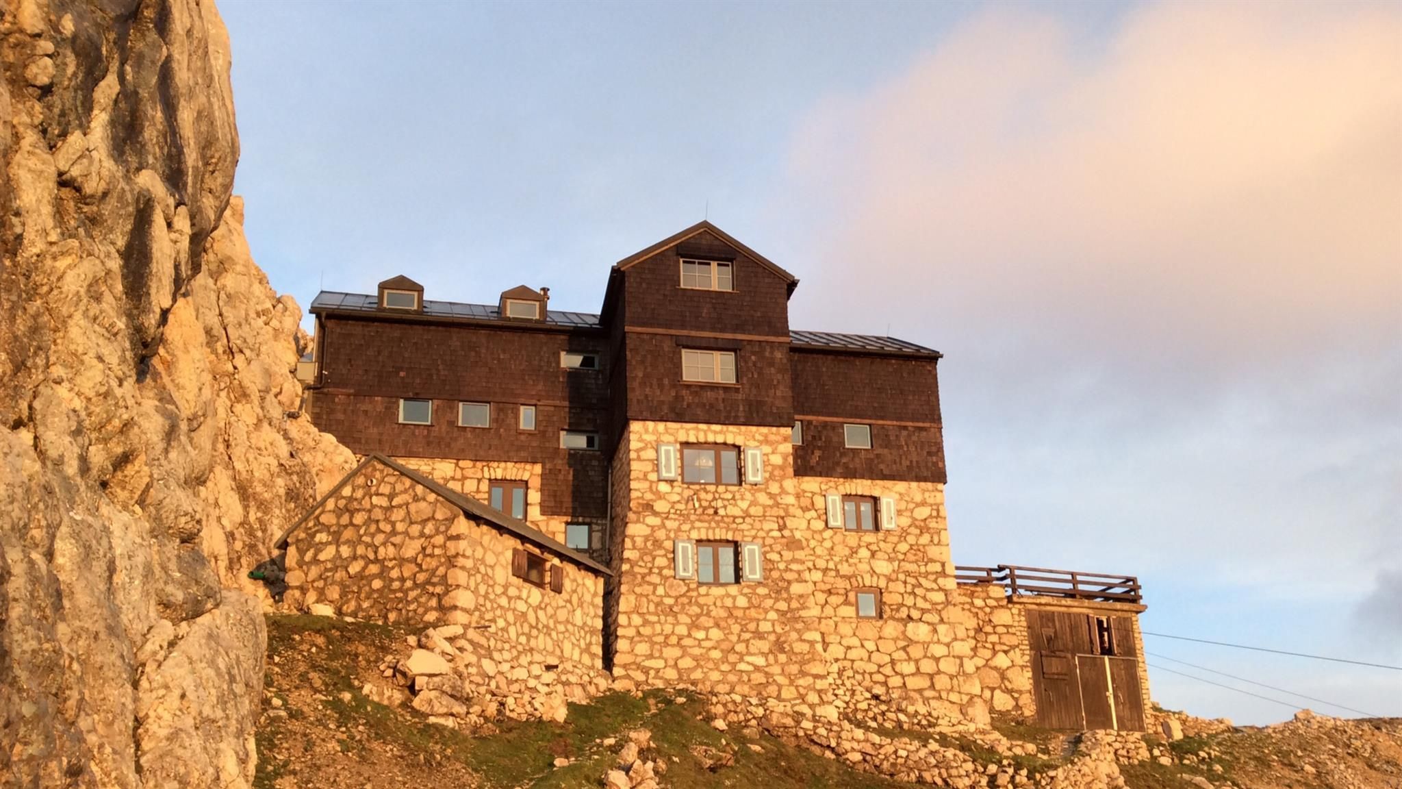
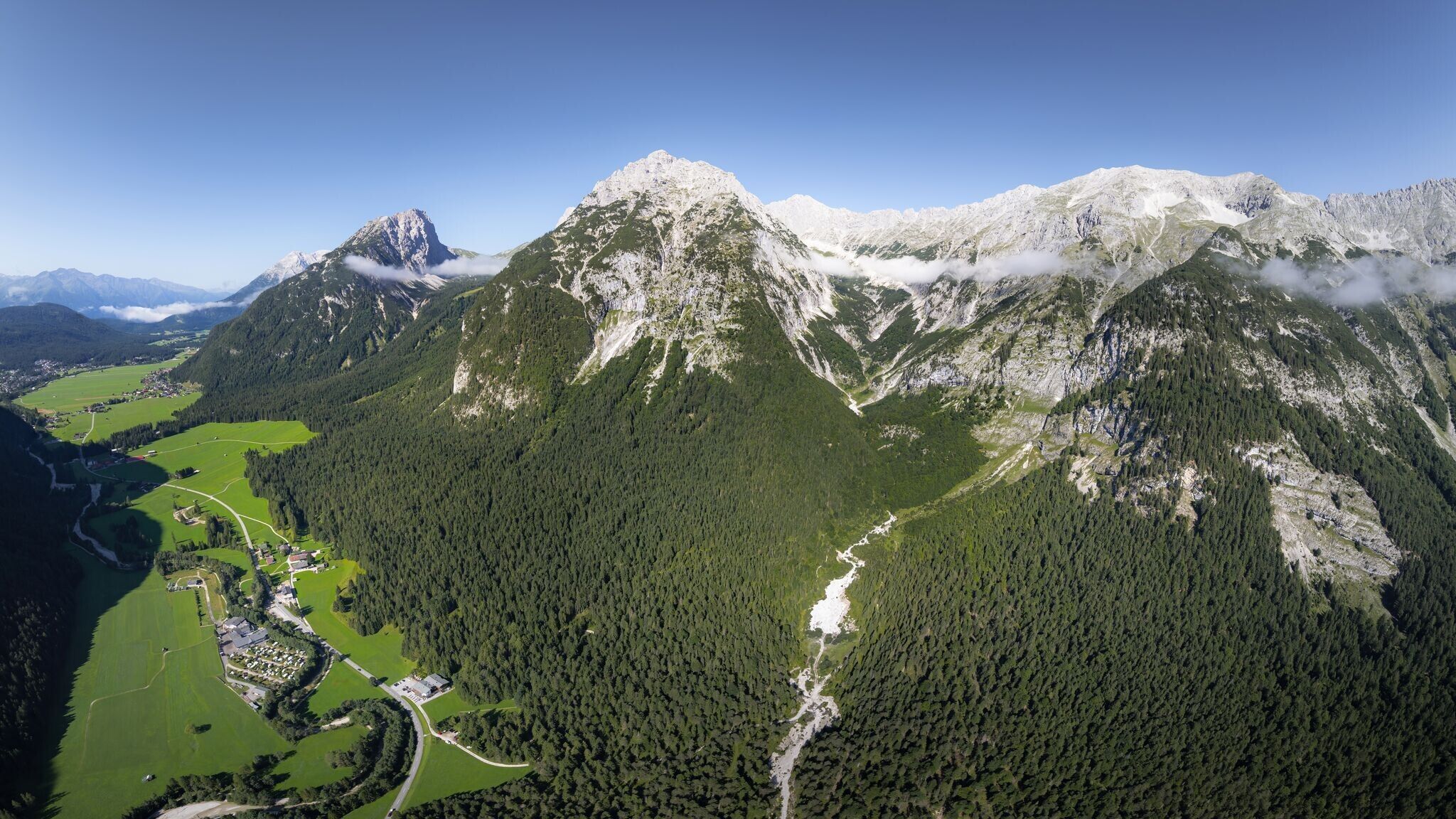
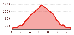
Challenging hike from Leutasch to the rustic Meilerhütte (2,366 m), offering panoramic views of the surrounding mountain landscape.
Mountain trail, forest path and gravel path.
All current information about the trail closures in the Region Seefeld can be found here.
Have you been out and about in the Region and discovered a spot that we should rework or repair? Fill out the form "Report a danger zone" and let us know where work is needed.
Sturdy hiking shoes, functional clothing, a backpack, water, snacks, alpine experience, and sure-footedness are necessary for this tour!
Also recommended: a hiking map or GPS, a first aid kit, sun protection, hiking poles, and an emergency blanket.
The hike starts at parking lot P13 Puitbach/Ahrn in Leutasch. From here, follow the signs to the Meilerhütte. Those arriving by bus can start directly at the Reindlau bus stop.
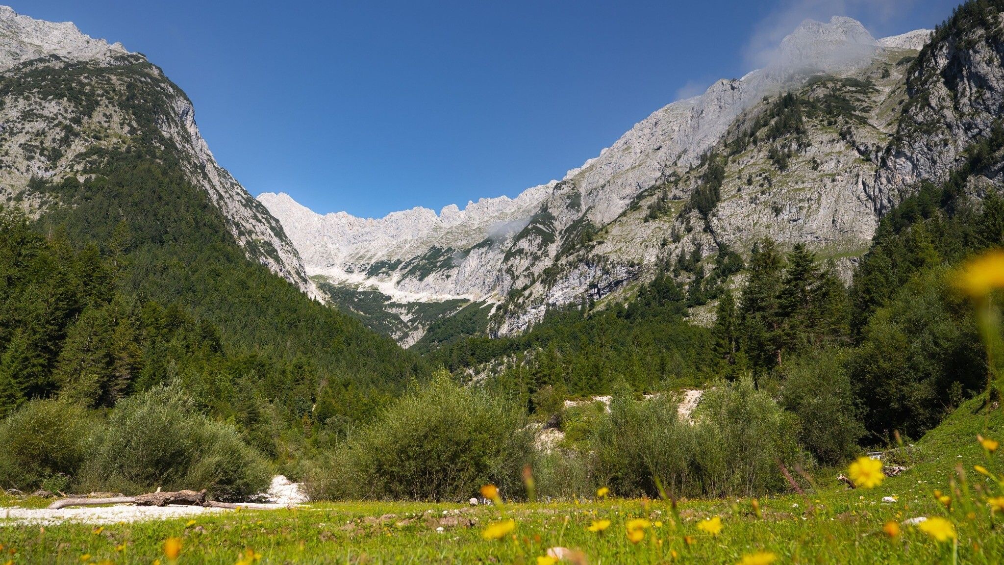
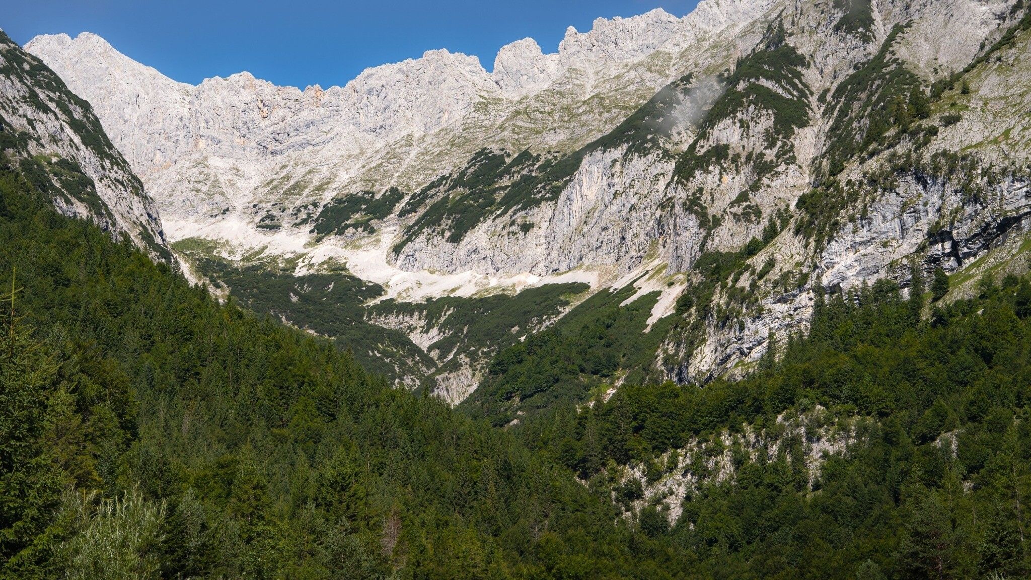
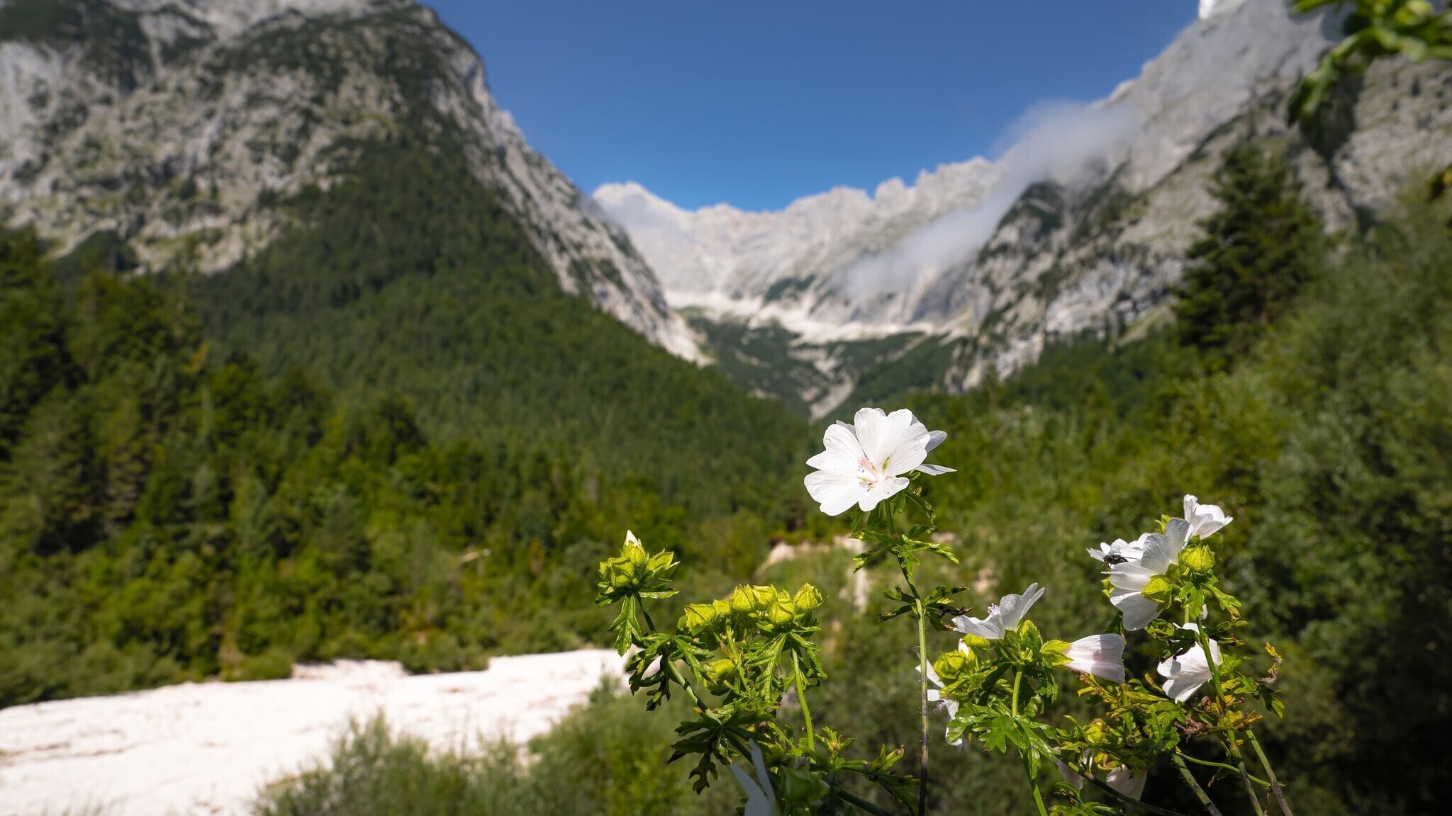
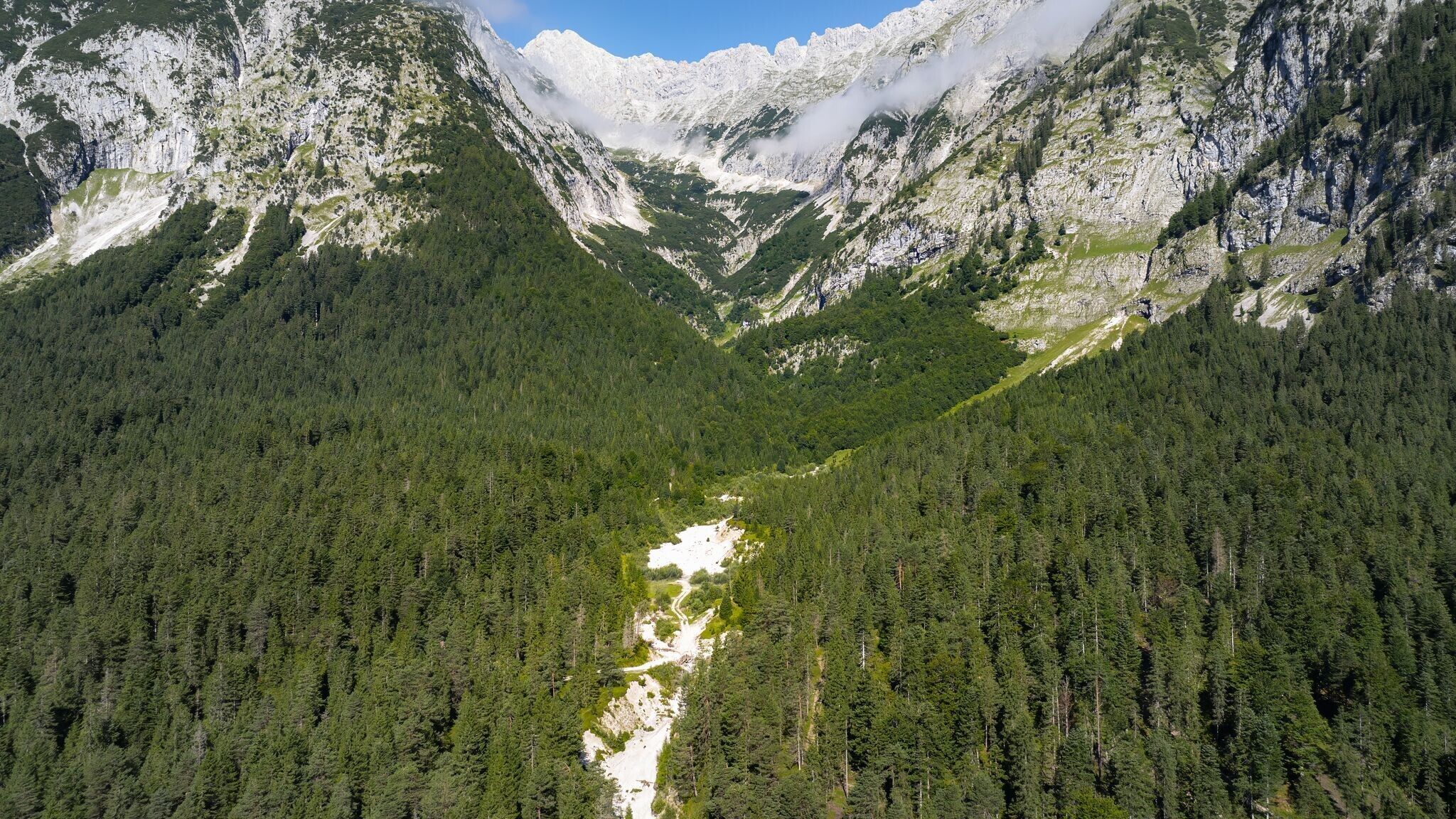
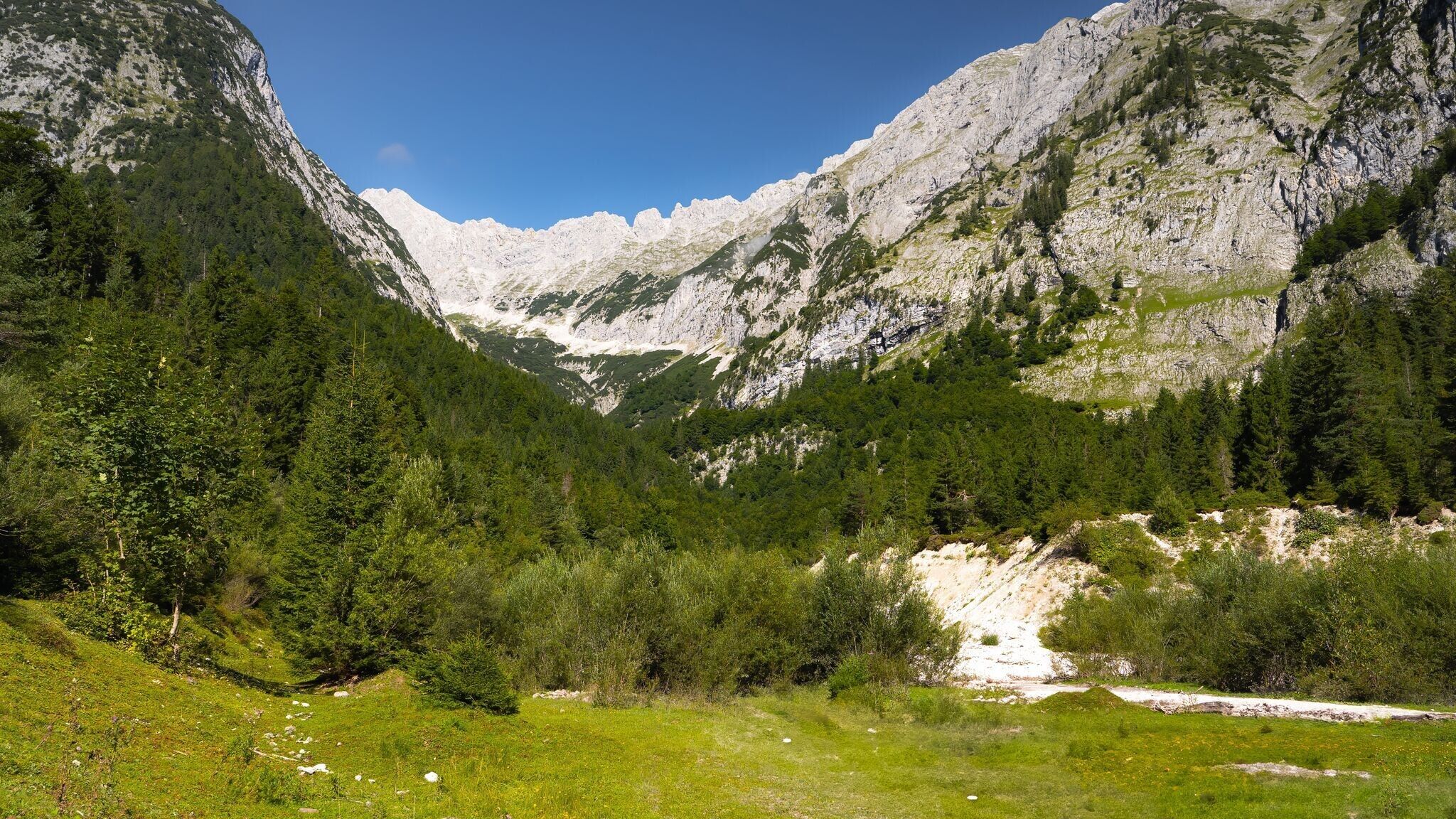
From the Hubertushof, the path continues as a wide forest road up to the Bergleinbach. Here, a narrow trail branches off to the left, following the creek into the Bergleintal. The route gradually climbs, passing through dwarf pine fields and alpine meadows. With the steep rock faces of the Öfelekopf in view, the trail winds further uphill until reaching the Meilerhütte at 2,366 meters.
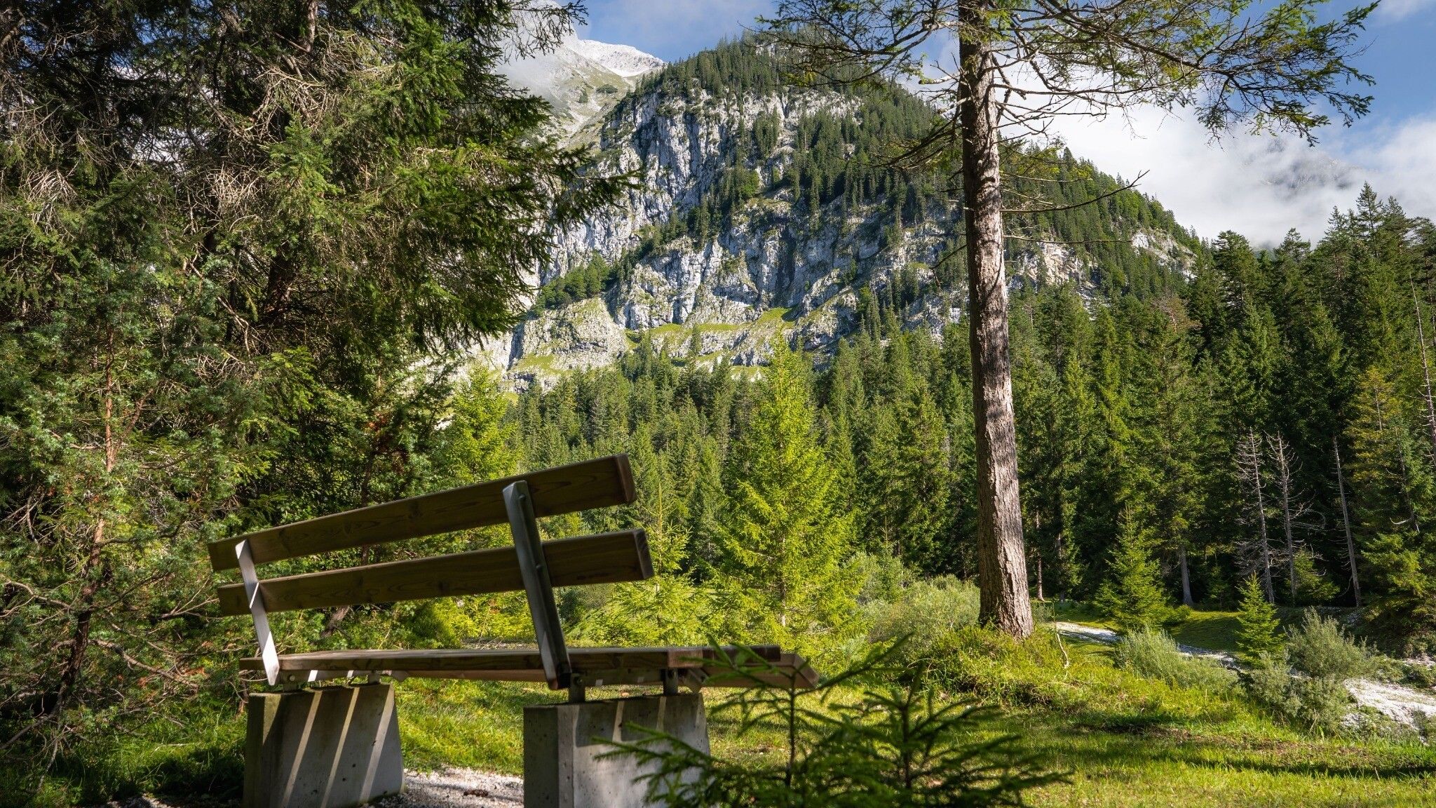
After a well-earned break with stunning mountain views, the return follows the same route back to the Hubertushof and then down to the valley. At the Hubertushof, follow the path to Achweg. Along the Achweg, several spots invite you to rest after the hike.
A challenging but rewarding hike through diverse terrain and impressive alpine landscapes.
Take the bus to Leutasch and get off at the 'Reindlau' bus stop.
All real-time connections can be found in the route planner.


.jpg")
 (2).jpg")


.jpg")
.jpg")


.jpg")

.jpg")


