
Arrival by public transport
Take the Bus J to the starting point at Igls/Innsbruck
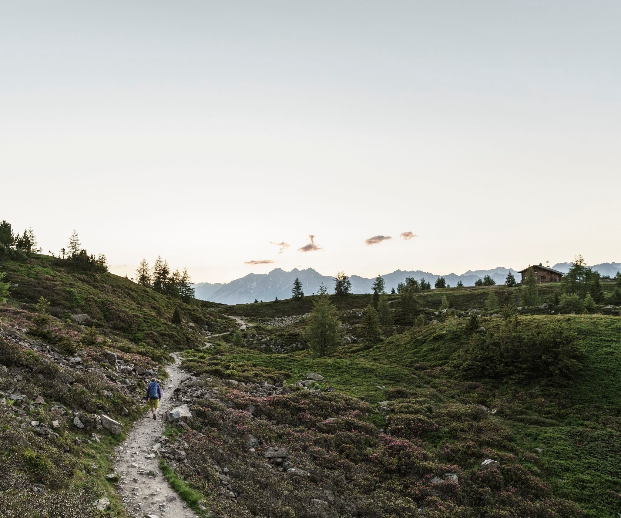
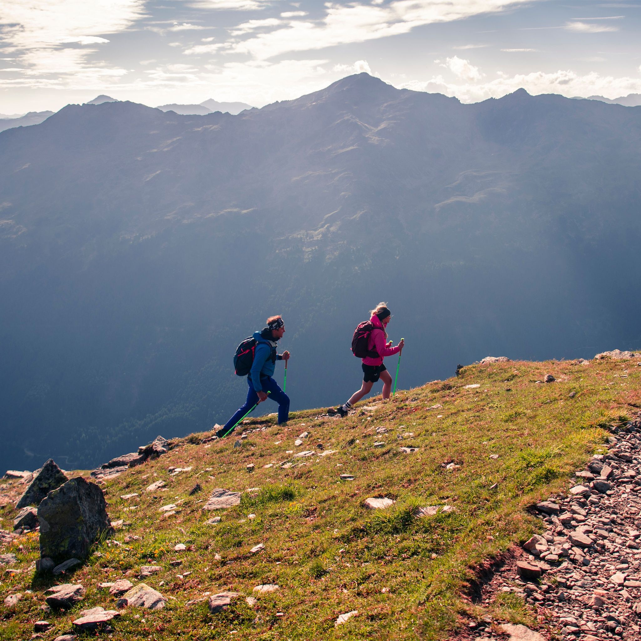
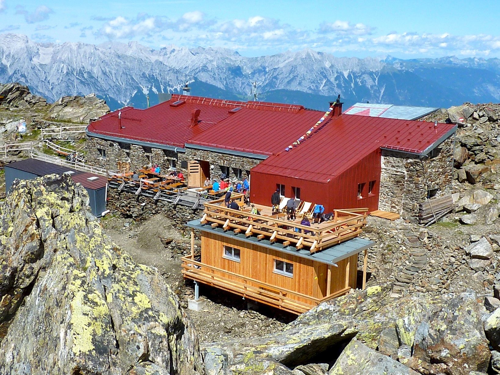
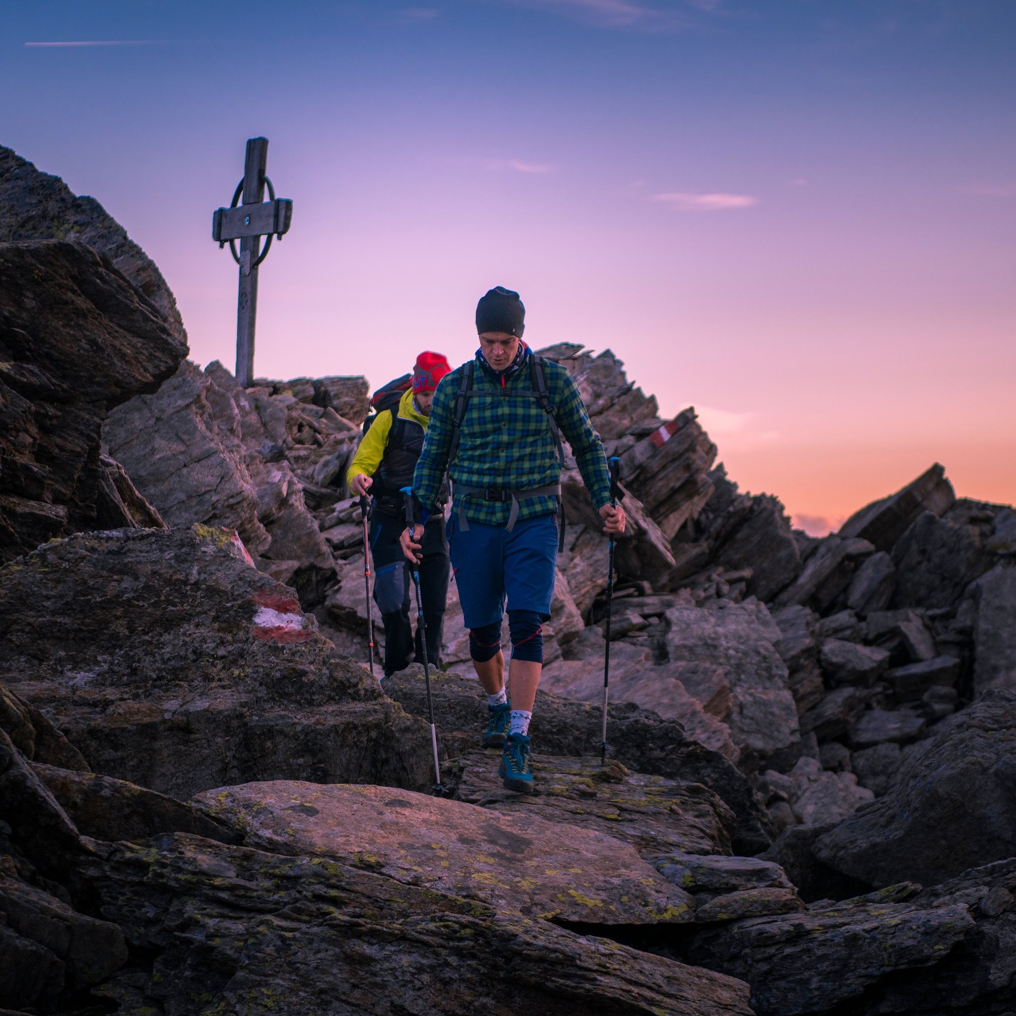
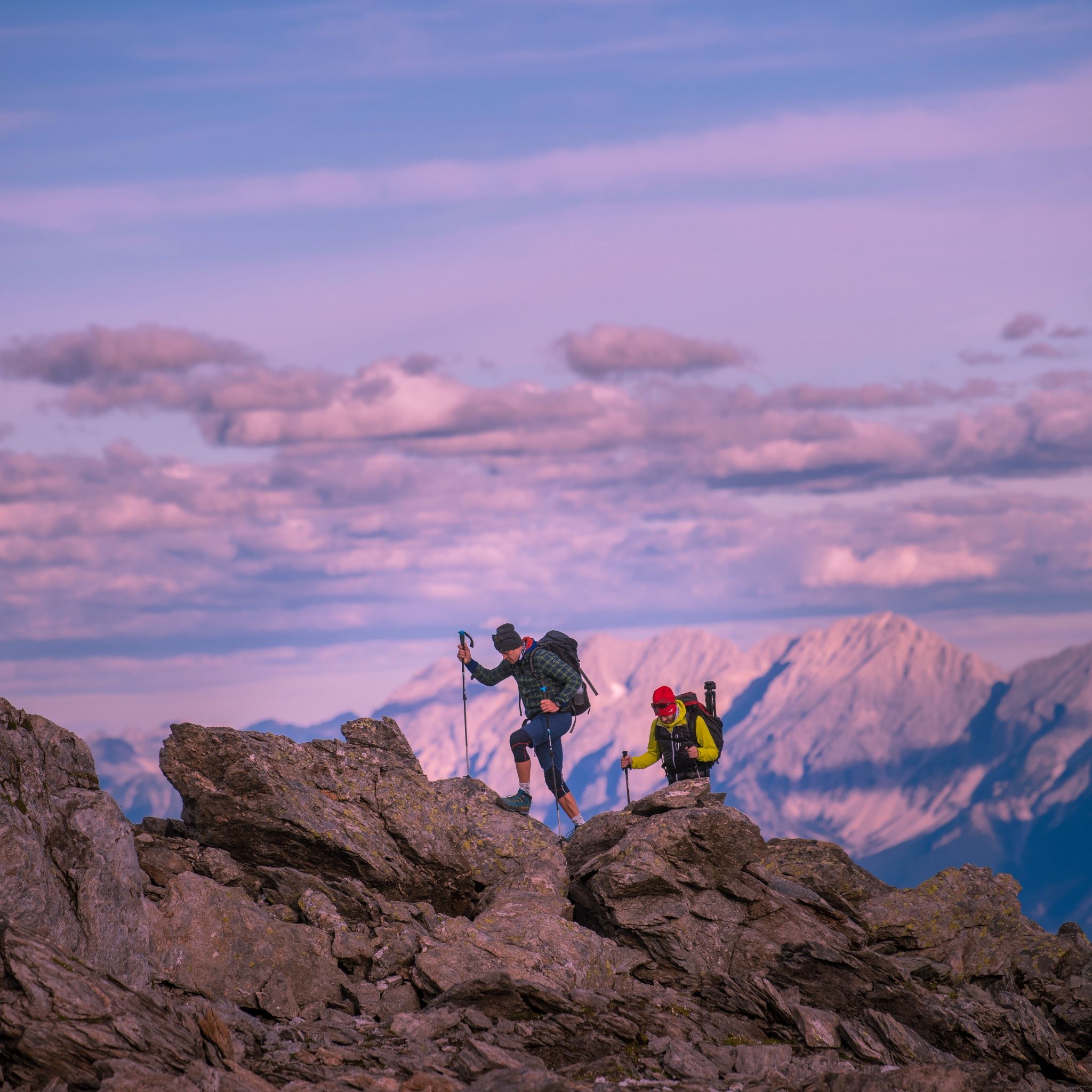
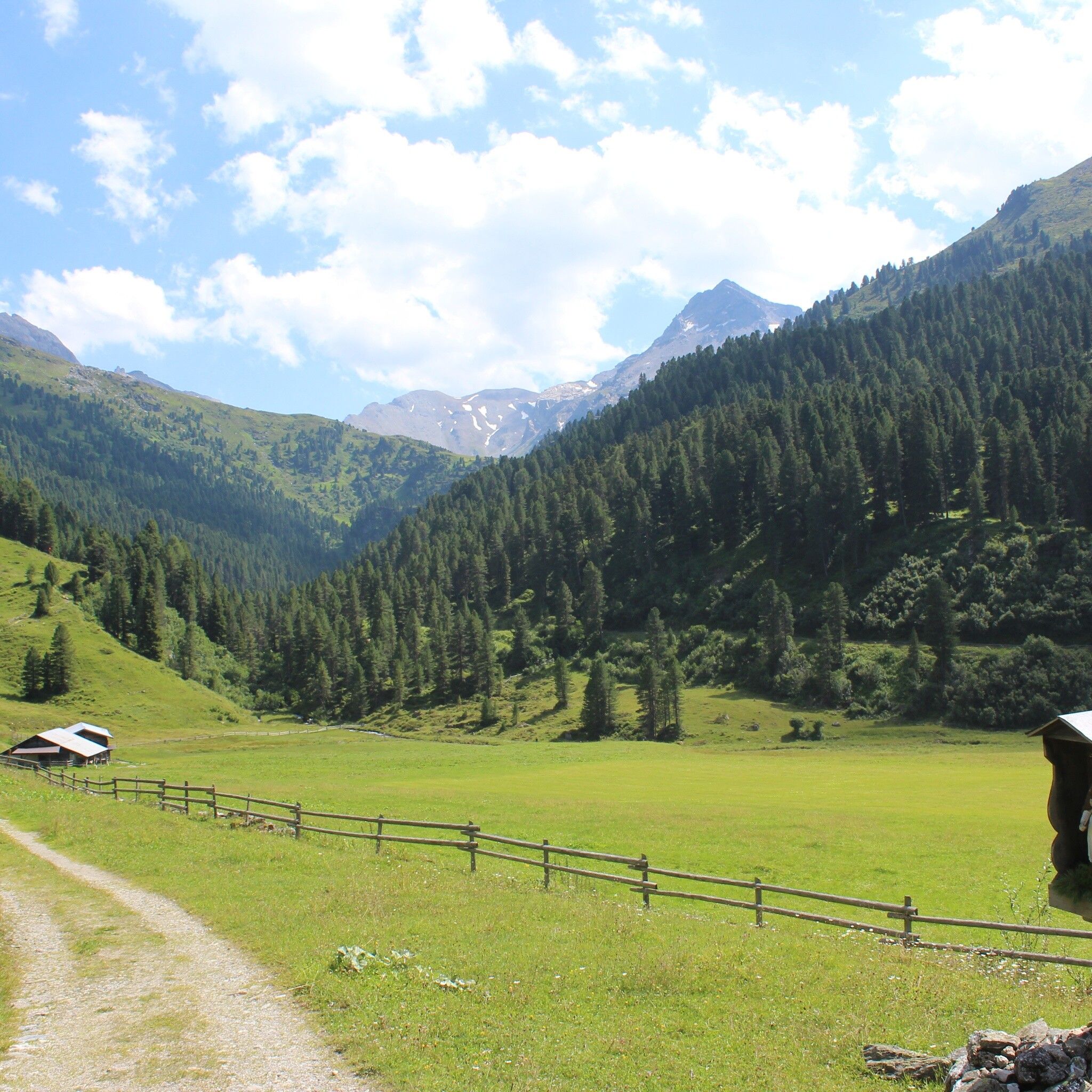
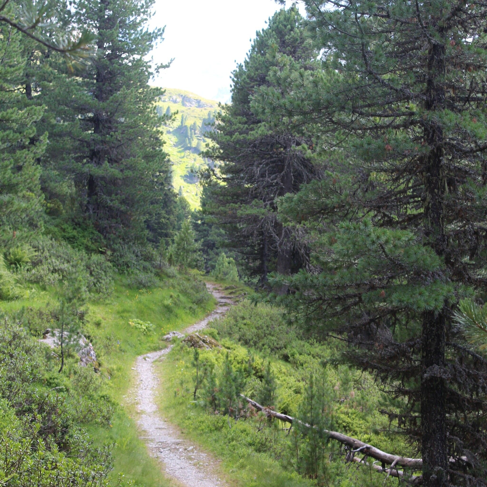
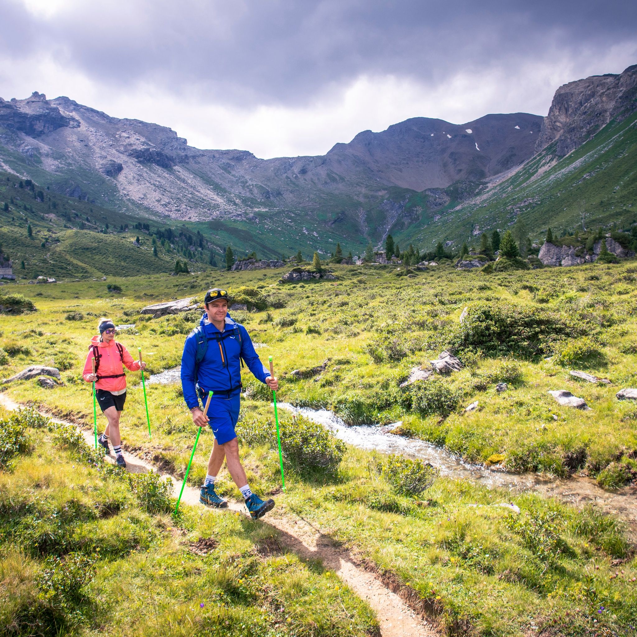
6 mountain huts, 16 peaks in the Tux region and 8 mountain passes. Hiking along the Inntaler Höhenweg 2000 with sweeping views across the Alps, cosy mountain huts and beautiful natural surroundings.





The following stages of the Inntal High Trail are affected:
Stage 1: Innsbruck – Glungezer Hut
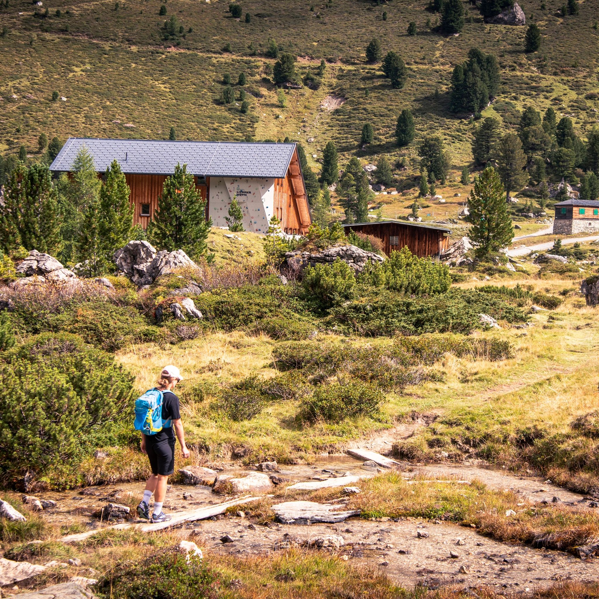
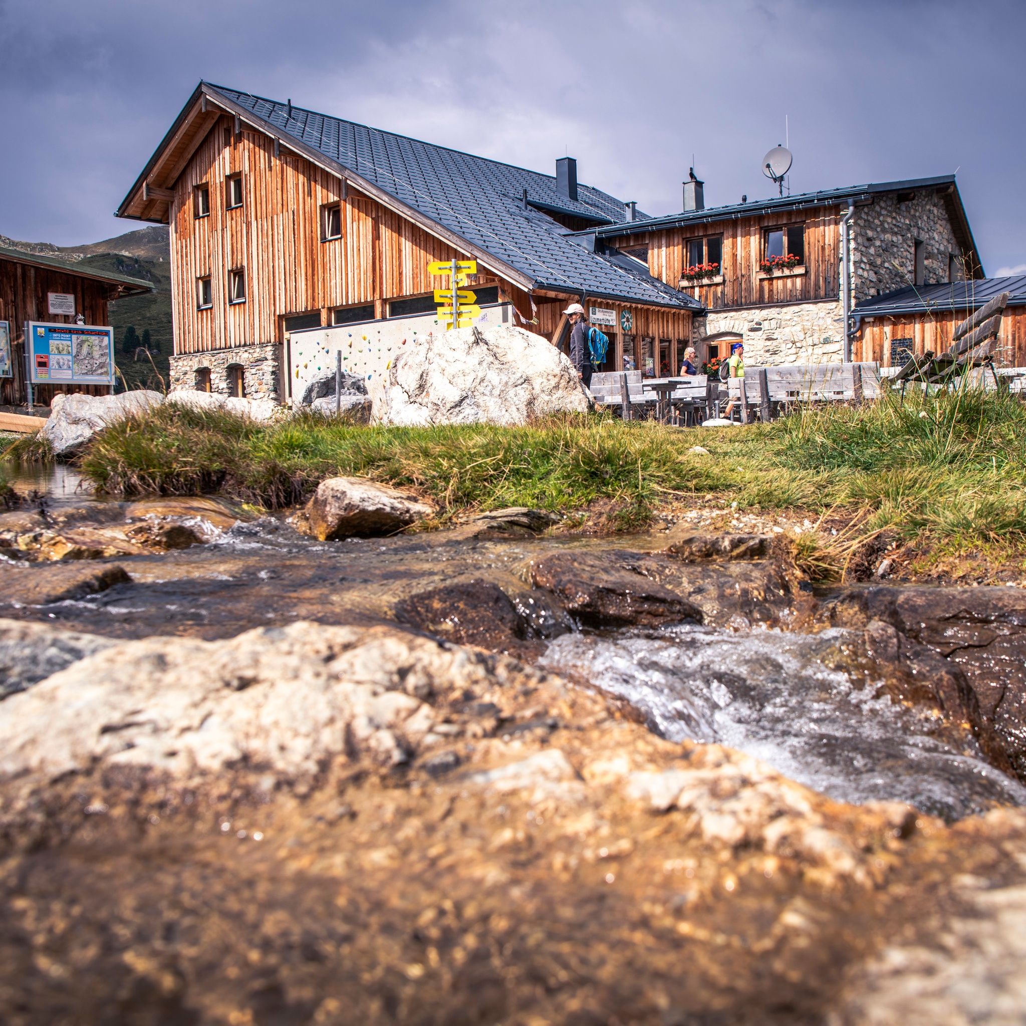
Stage 2: Glungezer Hut – Lizumer Hut
The route follows existing paths and trails, is marked and signposted. It can also be hiked in the opposite direction from Kellerjoch to Patscherkofel. "Entrances" and "exits" to the route are possible at every hut.
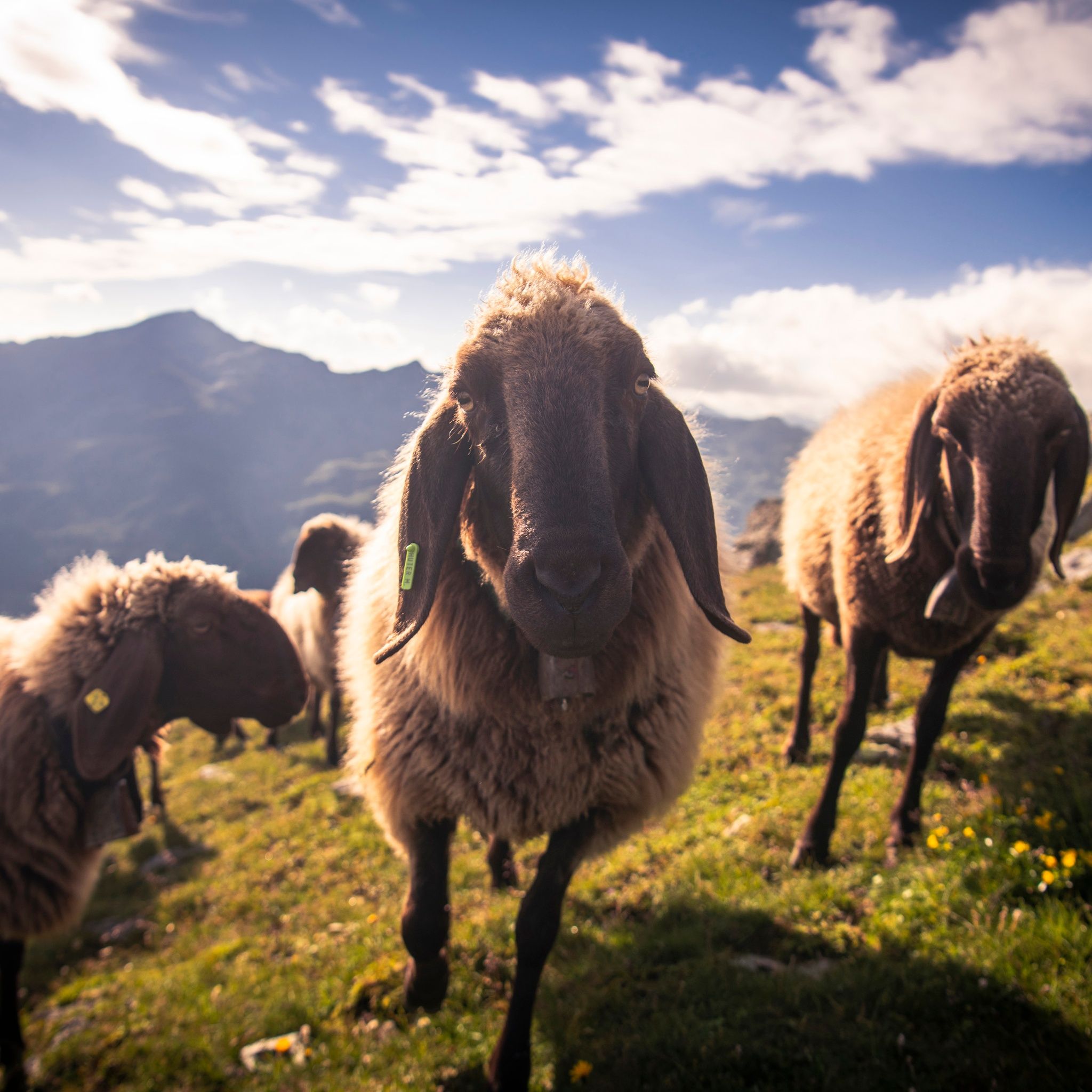
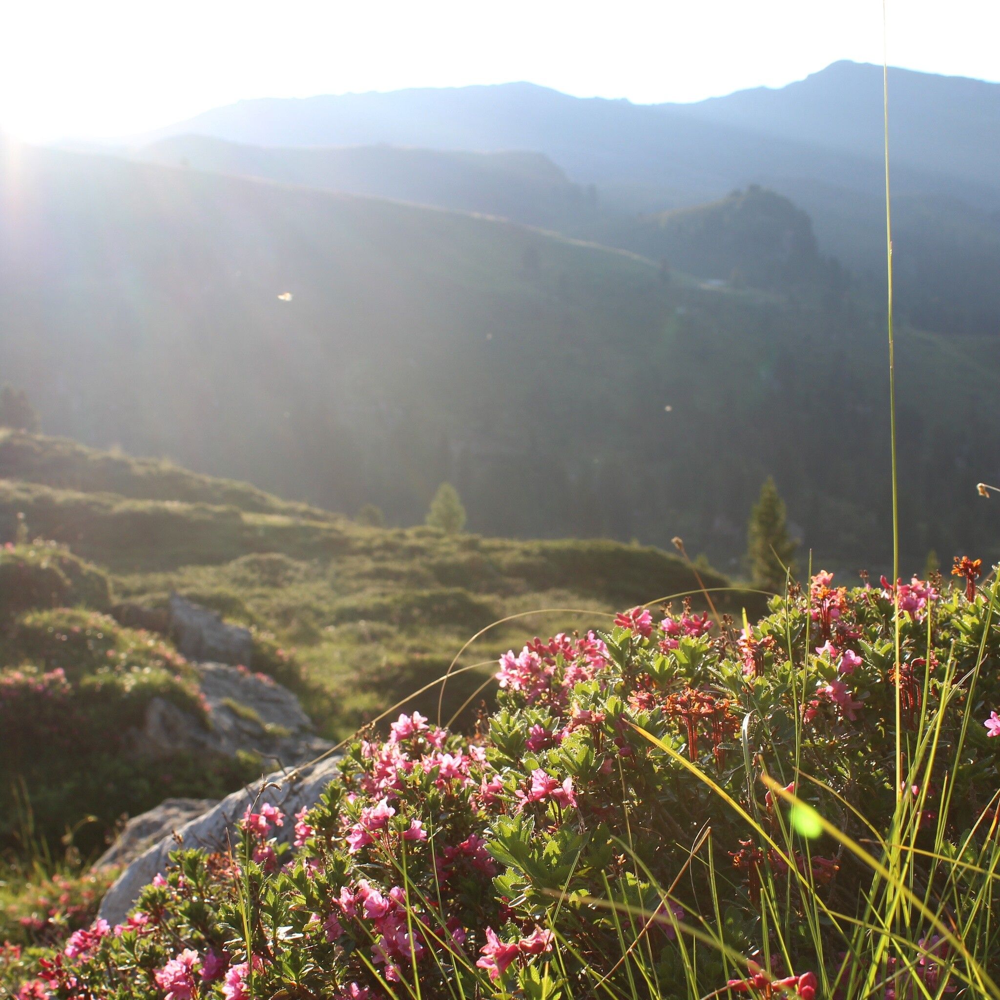
From Innsbruck/Igls, go over Patscherkofel along the Zirbenweg to the Glungezer Hut (2610 m), on the "Glungezer & Geier" ridge route over the "seven Tuxer summits" to the Lizumer Hut (2019 m). From here, the "Inntaler" follows the Central Alpine Trail 02A across the Grafennsjoch to the Weidener Hut, from there over the Nurpensjoch to the Rastkogel Hut (2117 m), then to Hochfügen and over the Loassattel to the Kellerjoch Hut, with descent to Schwaz. The "Inntaler" passes through the Patscherkofel - Zirmberg - Viggartal landscape protection area, above the Blue Lakes, touching Voldertal, Navistal, Wattental, Nafing and Nurpen Valley, Sidantal and Finsinggrund. Patscherkofel and the ridge continuing east to Glungezer offer beautiful views over the Inn Valley to the Nordkette and Karwendel, to the south into the Central Alps. In the middle section of the route, between Naviser Jöchl and Grafennsjoch, there are magnificent views of the "Zillertal Alps." From Kellerjoch, the view extends towards Innsbruck, Zillertal, and Karwendel. Wonderful flora and fauna accompany the entire route.
6-day route - 6 Tuxer huts - 16 Tuxer peaks - 8 passes
Take the Bus J to the starting point at Igls/Innsbruck
Innsbruck - Innsbruck/Igls


