Opening hours:Today closed
Place:
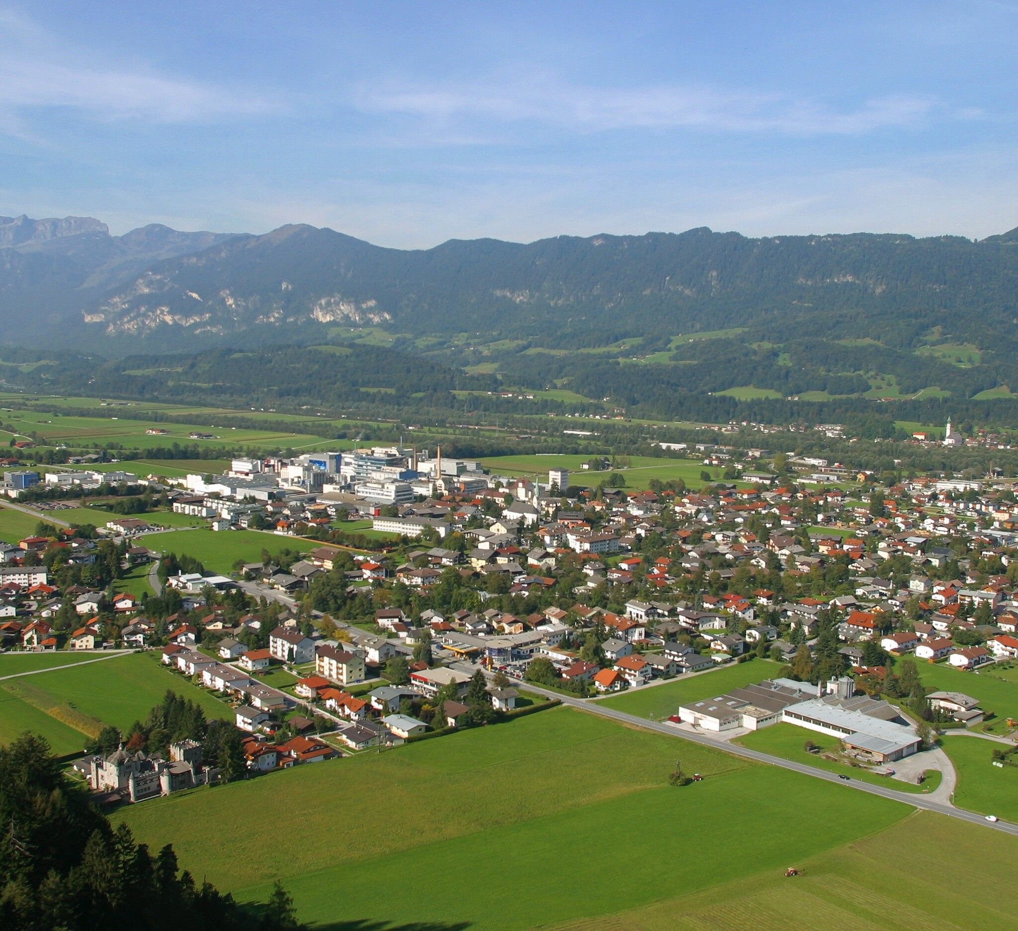
Kundl
:
Restaurant
Varied walk through and around Kundl
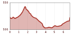
Sturdy shoes
From the village centre walk eastwards (towards Wörgl) to the Achen bridge. Walk upstream to the right of the river up to the foot bridge. Cross the bridge and walk through the underpass to the left of the stream. At the tarmacked path turn left and then right walking to the car park at the defunct shooting range (Schießstand).
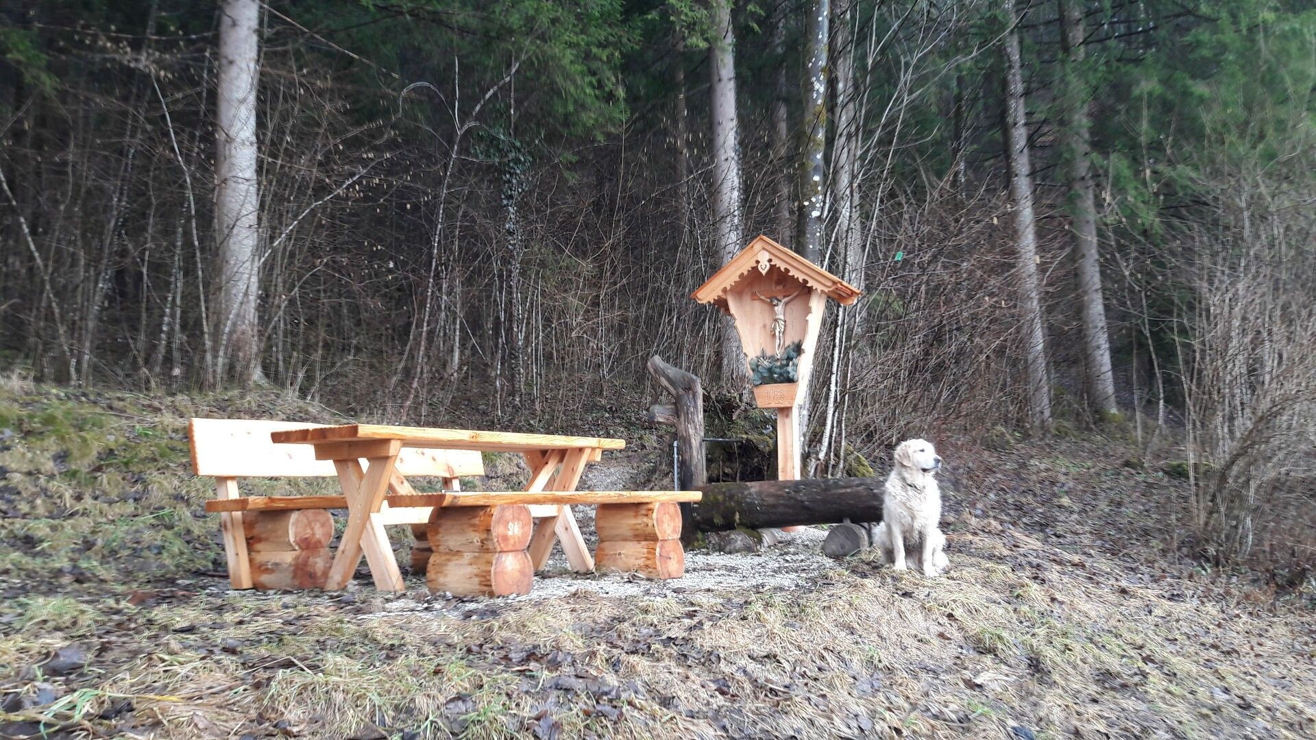
Follow the forest track towards Brach and turn right after approx.200 m. A path leads alongside the woods past "Kaltenbrunn" - a nice spot to take a rest - on to the industrial zone. Cross the main road (busy road!) and walk past the Hochstaffl company towards Liesfeld. Turn right at the second road after the small fire brigade building and along the bicylce lane to the next foot bridge. Cross the bridge and walk alongside the stream back to the Achen bridge and the village centre.
Kundl village centre


")


