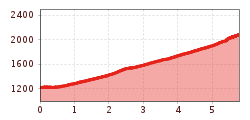
Open interactive mapOpen this POI on the interactive mapElevation profileLangen - Kaltenberg Hütte.gpx
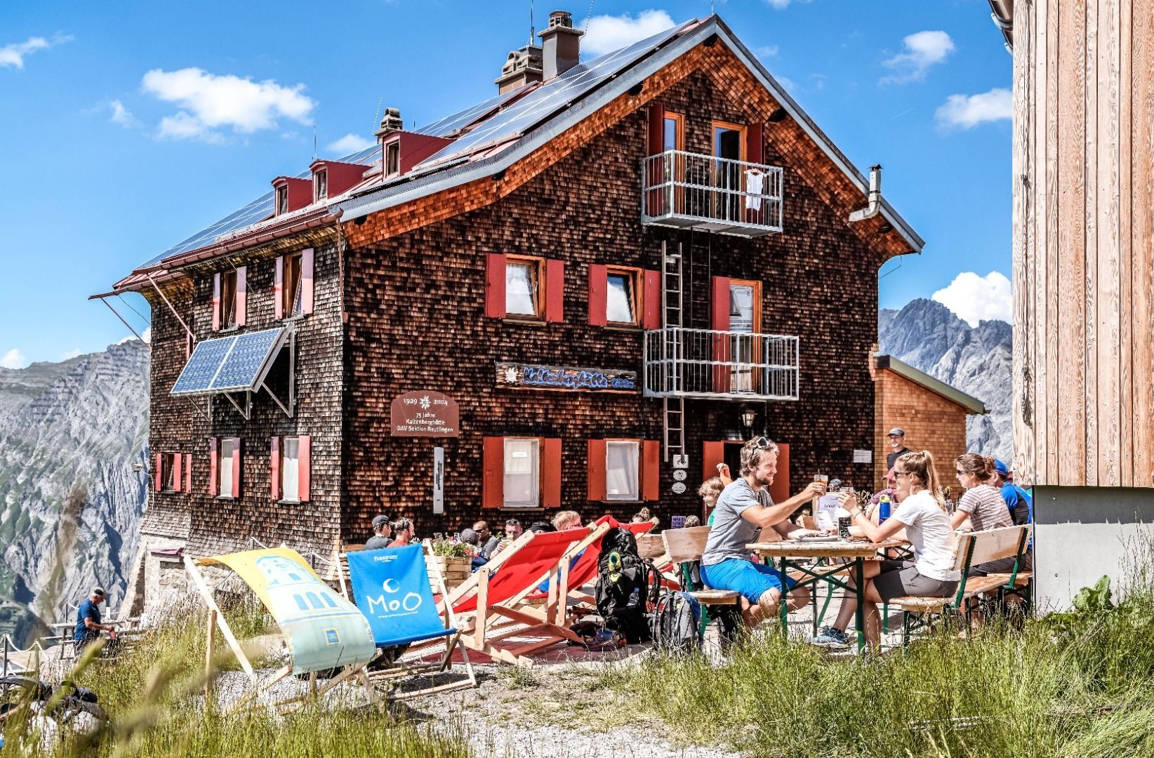
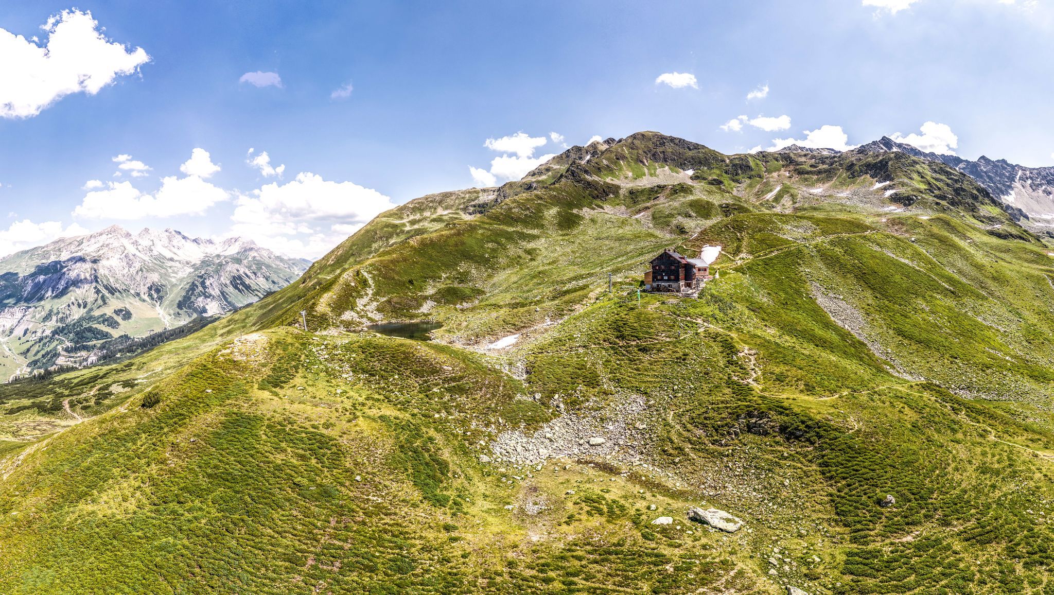
Kaltenberg Hütte © TVB St. Anton am Arlberg Patrick Bätz Kaltenberg Hütte - 2.089Place: Stuben am Arlberg : Alpine pasture / hut / mountain restaurant see restaurant detailssee restaurant details: Kaltenberg Hütte - 2.089
Round hike to Padauner KogelDifficulty: medium Length: 12.0 km Duration: 5:00 h Elevation uphill: 936 m See trailSee trail: Round hike to Padauner Kogel
Geraerhütte_JohannesBitter_TVB-Wipptal_170623_105.jpg © JOHANNES BITTER Hike to the Geraer Hütte | Austrian TyrolDifficulty: medium Length: 7.0 km Duration: 5:30 h Elevation uphill: 1,000 m See trailSee trail: Hike to the Geraer Hütte | Austrian Tyrol
Lämmerbichl_Tirol Werbung_Sürth Paul_Tux-Hintertux.jpg © Sürth Paul Spring with late crocus blossom in Tux ValleyDifficulty: medium Length: 10.0 km Duration: 4:00 h Elevation uphill: 640 m See trailSee trail: Spring with late crocus blossom in Tux Valley
Wasserspiele im Juppi Zauberwald © Ski Juwel Alpbachtal Wildschönau Loop tour Juppi ZauberwaldDifficulty: easy Length: 2.5 km Duration: 1:00 h Elevation uphill: 93 m See trailSee trail: Loop tour Juppi Zauberwald
3-Gipfeltour Kienberg - Plessenberg - Heuberg, CCE Wanderdörfer © Rene Zisch_Monja Kraner 3-peak-tour Kienberg-Plessenberg-HeubergDifficulty: medium Length: 8.6 km Duration: 4:30 h Elevation uphill: 779 m See trailSee trail: 3-peak-tour Kienberg-Plessenberg-Heuberg
Zireiner See Abendstimmung © Thomas Kargl 4 days - 4 summits tourDifficulty: medium Length: 54.4 km Duration: 23:00 h Elevation uphill: 3,408 m See trailSee trail: 4 days - 4 summits tour
Gipfelkreuz Voldöpper Spitze © Sandrine Stock Voldöpper Spitze Loop HikeDifficulty: medium Length: 12.9 km Duration: 5:00 h Elevation uphill: 988 m See trailSee trail: Voldöpper Spitze Loop Hike
Alpbachtal Hüttenjause auf der Farmkehralm © Mathäus Gartner Farmkehralm 1.521 mDifficulty: medium Length: 9.3 km Duration: 3:30 h Elevation uphill: 506 m See trailSee trail: Farmkehralm 1.521 m
Tiroler SilberpfadDifficulty: easy Length: 88.0 km Duration: 32:00 h Elevation uphill: 3,500 m See trailSee trail: Tiroler Silberpfad
Aussichtsplattform Tiefenbachklamm © Hannes Sautner Shootandstyle Discovering the Tiefenbach Gorge HikeOpening hours: closed Difficulty: medium Length: 5.7 km Duration: 3:30 h Elevation uphill: 669 m See trailSee trail: Discovering the Tiefenbach Gorge Hike
31732266.jpg © TVB Wipptal Round tour Griesberg-Wolfendorn-Wildseespitz-Landshuter Hütte-VenntallDifficulty: difficult Length: 25.0 km Duration: 10:00 h Elevation uphill: 1,780 m See trailSee trail: Round tour Griesberg-Wolfendorn-Wildseespitz-Landshuter Hütte-Venntall
_JCK4681.jpg © JACKSCORNER Wheelchair Circular Hike in the Möserer ValleyDifficulty: medium Length: 4.6 km Duration: 1:10 h Elevation uphill: 10 m See trailSee trail: Wheelchair Circular Hike in the Möserer Valley
Hike to LaponesalmDifficulty: easy Length: 6.2 km Duration: 2:00 h Elevation uphill: 242 m See trailSee trail: Hike to Laponesalm
Memmingerhuette © Lechtal Tourismus Bach - Memminger HütteDifficulty: medium Length: 13.6 km Duration: 5:45 h Elevation uphill: 1,200 m See trailSee trail: Bach - Memminger Hütte
Gschlöss mit Venedigermassiv_TVB Osttirol_Kurzthaler Martin_Keine Ortsangabe.jpg © Kurzthaler Martin Hike to the Venedigerhaus InnergschlößDifficulty: easy Length: 8.5 km Duration: 2:30 h Elevation uphill: 180 m See trailSee trail: Hike to the Venedigerhaus Innergschlöß
_JCK4571.jpg © JACKSCORNER Wheelchair Circular Hike Seekirchl–Ski JumpDifficulty: easy Length: 3.2 km Duration: 1:10 h See trailSee trail: Wheelchair Circular Hike Seekirchl–Ski Jump
Urlaub mit Rollstuhl in der Region Seefeld (18).jpg © JACKSCORNER Wheelchair Hike Scharnitz–GießenbachDifficulty: easy Length: 7.0 km Duration: 1:50 h Elevation uphill: 40 m See trailSee trail: Wheelchair Hike Scharnitz–Gießenbach
Höhenweg Leutasch_Aussichtsplattform Höhenweg_Pfarrkirche St. Magdalena und Ganghofermuseum.jpg © Region Seefeld Wheelchair Circular Hike Runst-AchwegDifficulty: easy Length: 6.3 km Duration: 2:00 h Elevation uphill: 40 m See trailSee trail: Wheelchair Circular Hike Runst-Achweg
Amberger Hütte © Roland Grüner Ötztal Trek Stage 4Difficulty: difficult Length: 8.9 km Duration: 4:00 h Elevation uphill: 802 m See trailSee trail: Ötztal Trek Stage 4
Dortmunder Hütte © Katharina Nösig Ötztal Trek Stage 2Difficulty: difficult Length: 10.7 km Duration: 4:00 h Elevation uphill: 926 m See trailSee trail: Ötztal Trek Stage 2
Obergurgl © Roland Grüner Ötztal Trek Stage 10Difficulty: difficult Length: 11.1 km Duration: 4:30 h Elevation uphill: 1,476 m See trailSee trail: Ötztal Trek Stage 10
Siegerlandhütte © Katharina Nösig Ötztal Trek Stage 8Difficulty: difficult Length: 9.3 km Duration: 3:30 h Elevation uphill: 274 m See trailSee trail: Ötztal Trek Stage 8
Amberger Hütte © Katharina Nösig Ötztal TrekLength: 246.4 km Duration: 84:25 h Elevation uphill: 18,910 m See trailSee trail: Ötztal Trek
Vernagthütte © Katharina Nösig Ötztal Trek Stage 16Difficulty: difficult Length: 6.9 km Duration: 2:30 h Elevation uphill: 358 m See trailSee trail: Ötztal Trek Stage 16
Martin-Busch-Hütte © Roland Grüner Ötztal Trek Stage 11Difficulty: difficult Length: 12.0 km Duration: 5:00 h Elevation uphill: 705 m See trailSee trail: Ötztal Trek Stage 11
Give feedback for a chance to win a special holiday experience!Click here for the surveyClick here for the survey


.jpg")


