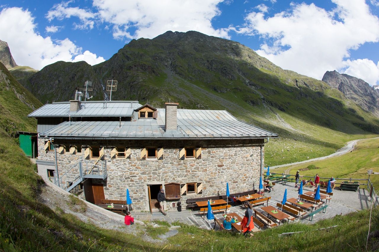
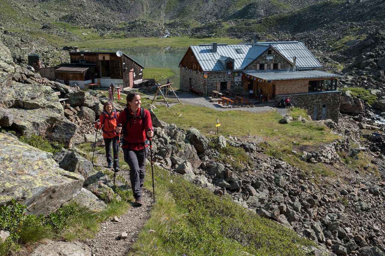
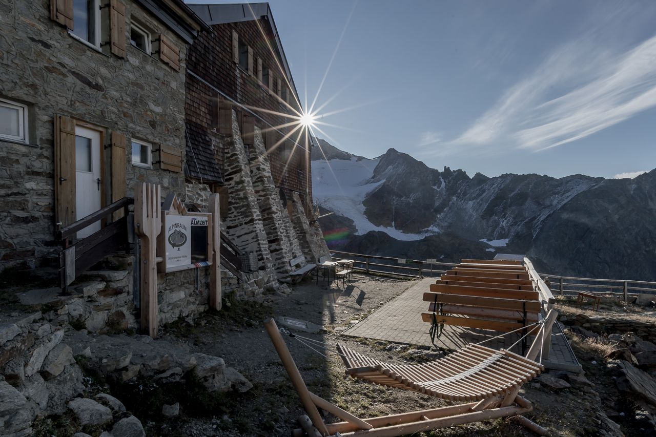
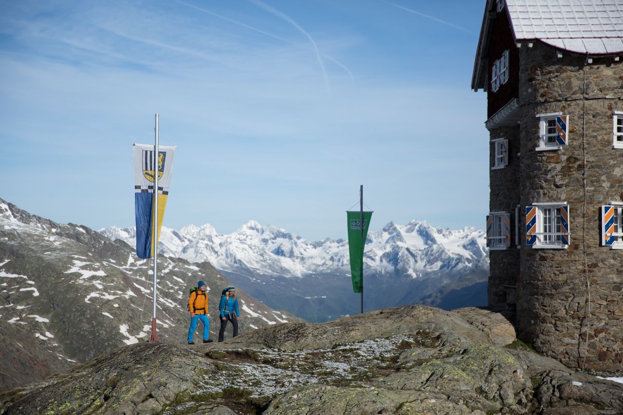
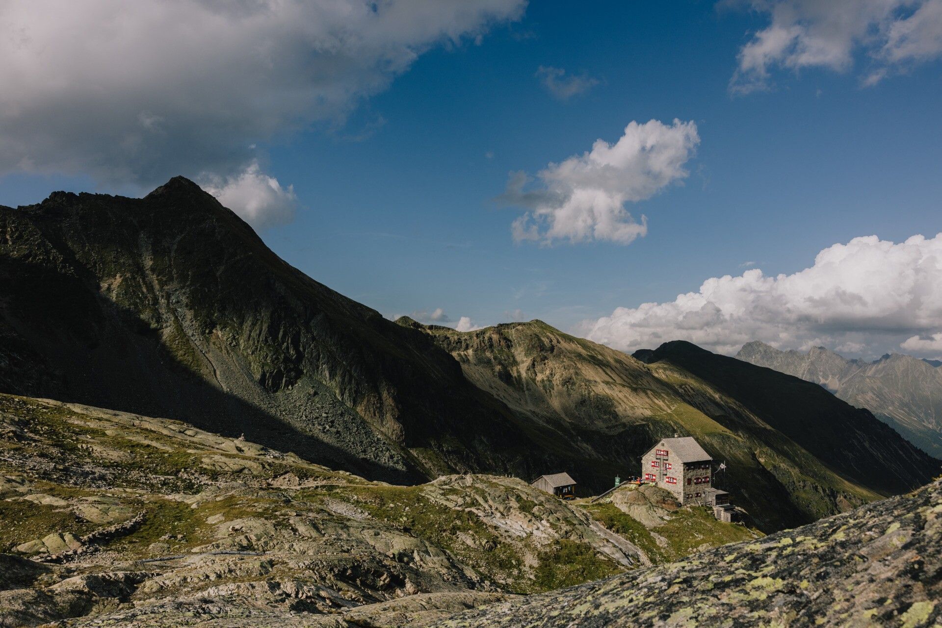
Long-distance hike Ötztal Trek

Haiming / Ötztaler Alpen
Route length: 246.4 km
Duration: 84:25 h

Pure Ötztal - that's what this high alpine long-distance hiking challenge stands for. On this tour, Tyrol shows all its facets: challenging peaks, glaciers and crevasses, cozy Alpine Club huts, delicacies from the kitchen and the flair of world-famous personalities such as the glacier man "Ötzi". Everything comes together here and weaves itself into a great adventure for experienced mountaineers.

Tour character

The difficult Ötztal trek leads over embrasures, ridges, summits and glaciers, mostly on black mountain paths. The total ascent of 17,200 meters requires a very good level of fitness. Sure-footedness, climbing ability, a head for heights and high-alpine experience for glacier ascents as well as high-alpine equipment are required. Precise tour planning is required.

Tour information

  • Length: 246.4 km
  • Duration: 84:25 h
  • Elevation uphill:18,910 hm
  • Elevation downhill:18,910 hm
Highest point3,482 m

Best time of year

  • January
  • February
  • March
  • April
  • May
  • June
  • July
  • August
  • September
  • October
  • November
  • December

Equipment

Wearing hiking equipment such as breathable and weather-adapted outdoor clothing, ankle-high hiking boots, wind, rain, and sun protection, a cap, and possibly gloves is recommended! It is also important to bring sufficient provisions as well as a first aid kit, a mobile phone, and possibly a hiking map.

Source: Ötztal

Description

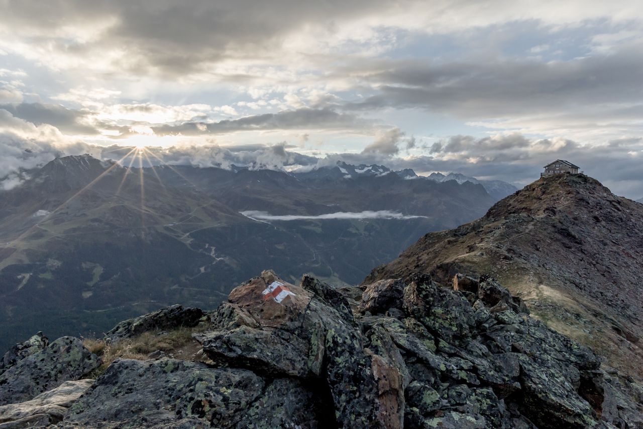
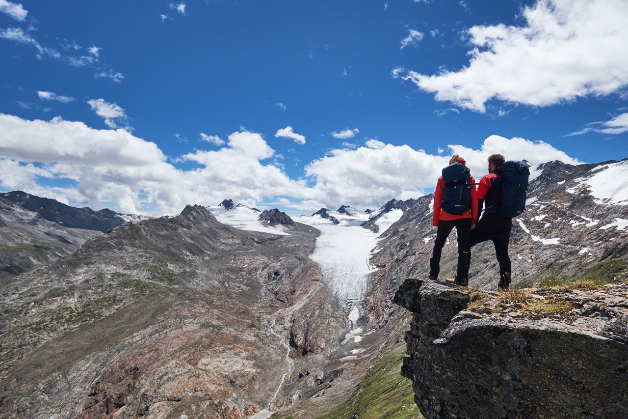
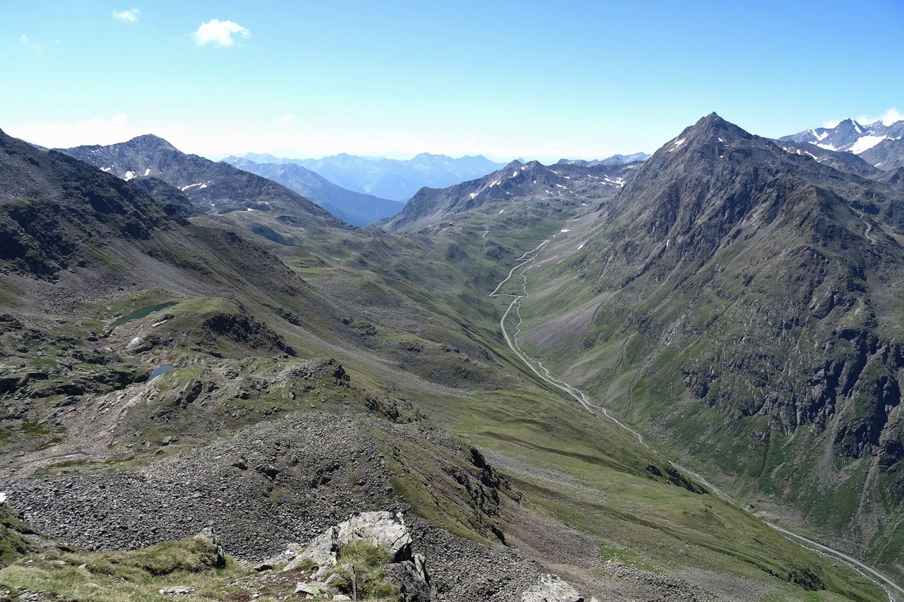
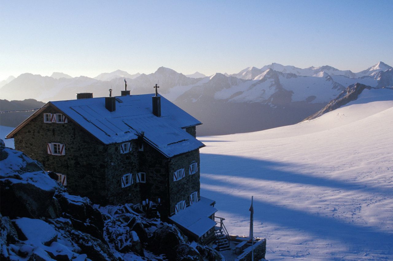
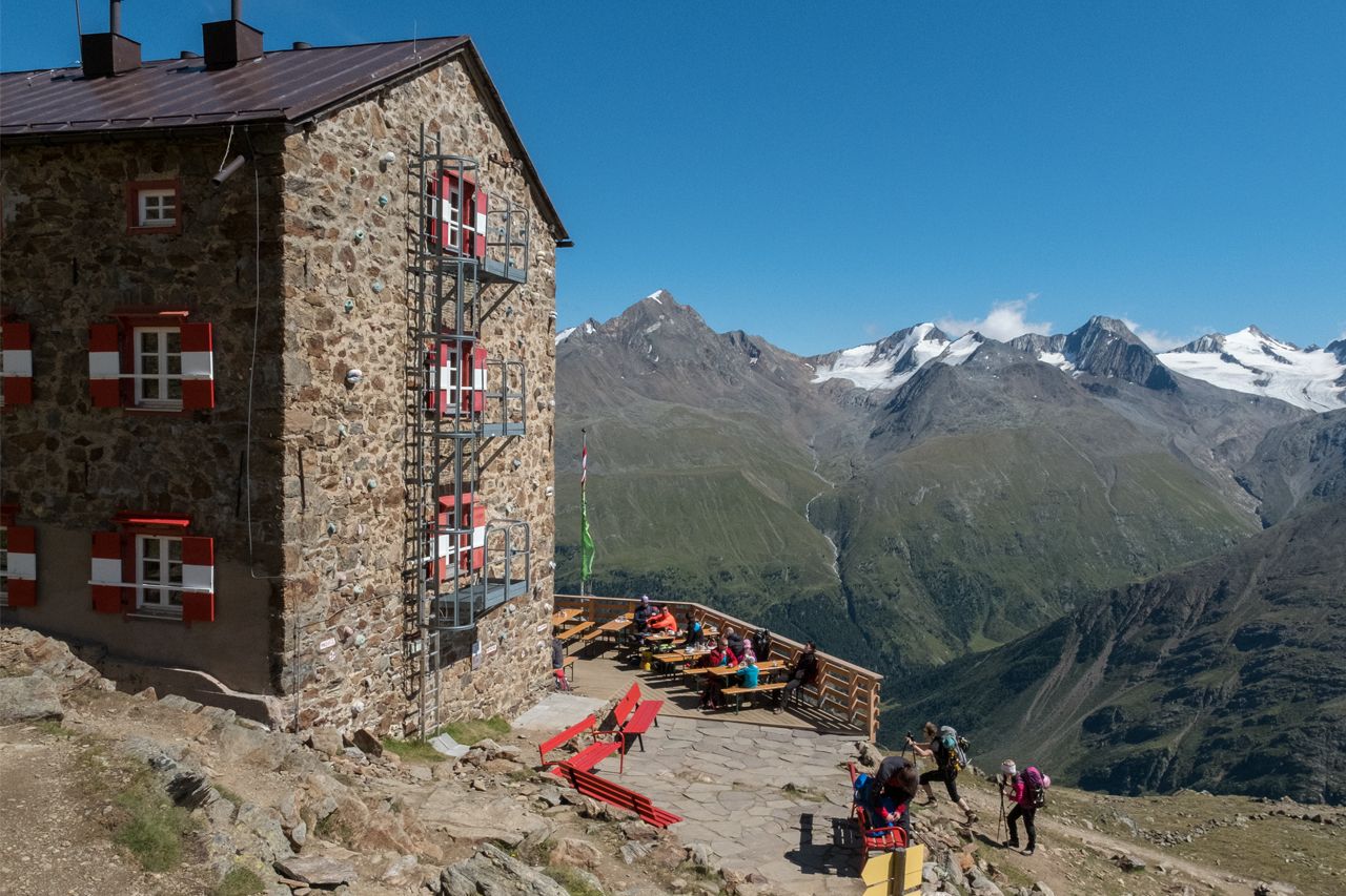
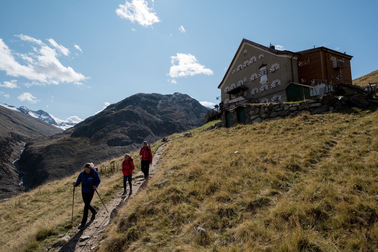
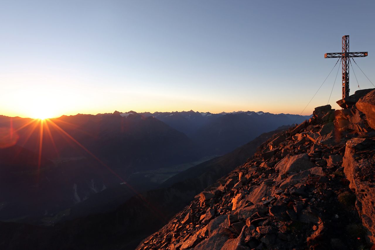
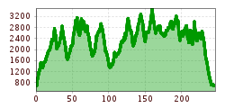
6 partial routes consist of a total of 22 stages and 15 variants covering around 30,000 meters of ascent and 400 km in length. The Ötztal Trek runs from Ötztal train station eastwards over passes, ridges, and peaks, from hut to hut up to Obergurgl and Vent. On the western mountain ridge, the Geigenkamm, the trek returns to Ötztal train station.

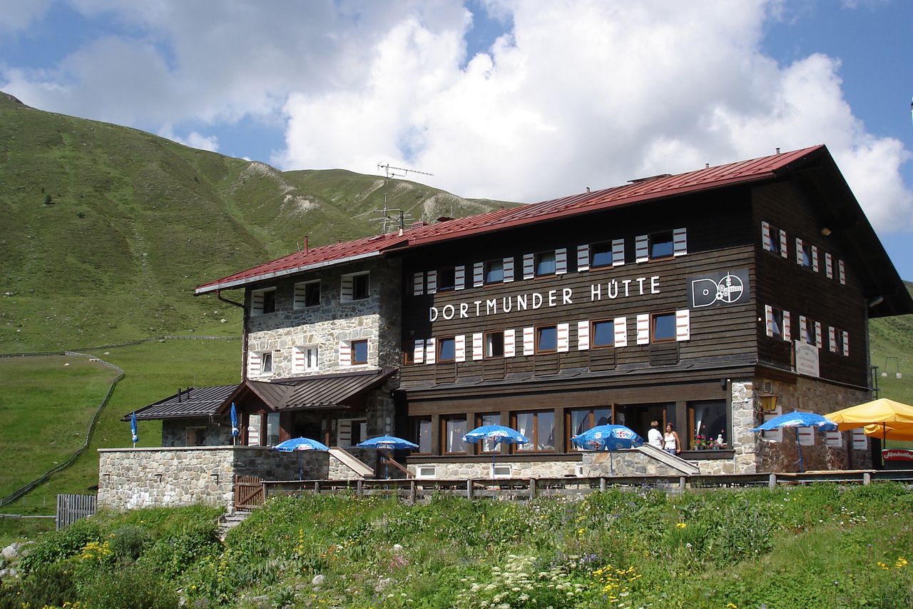
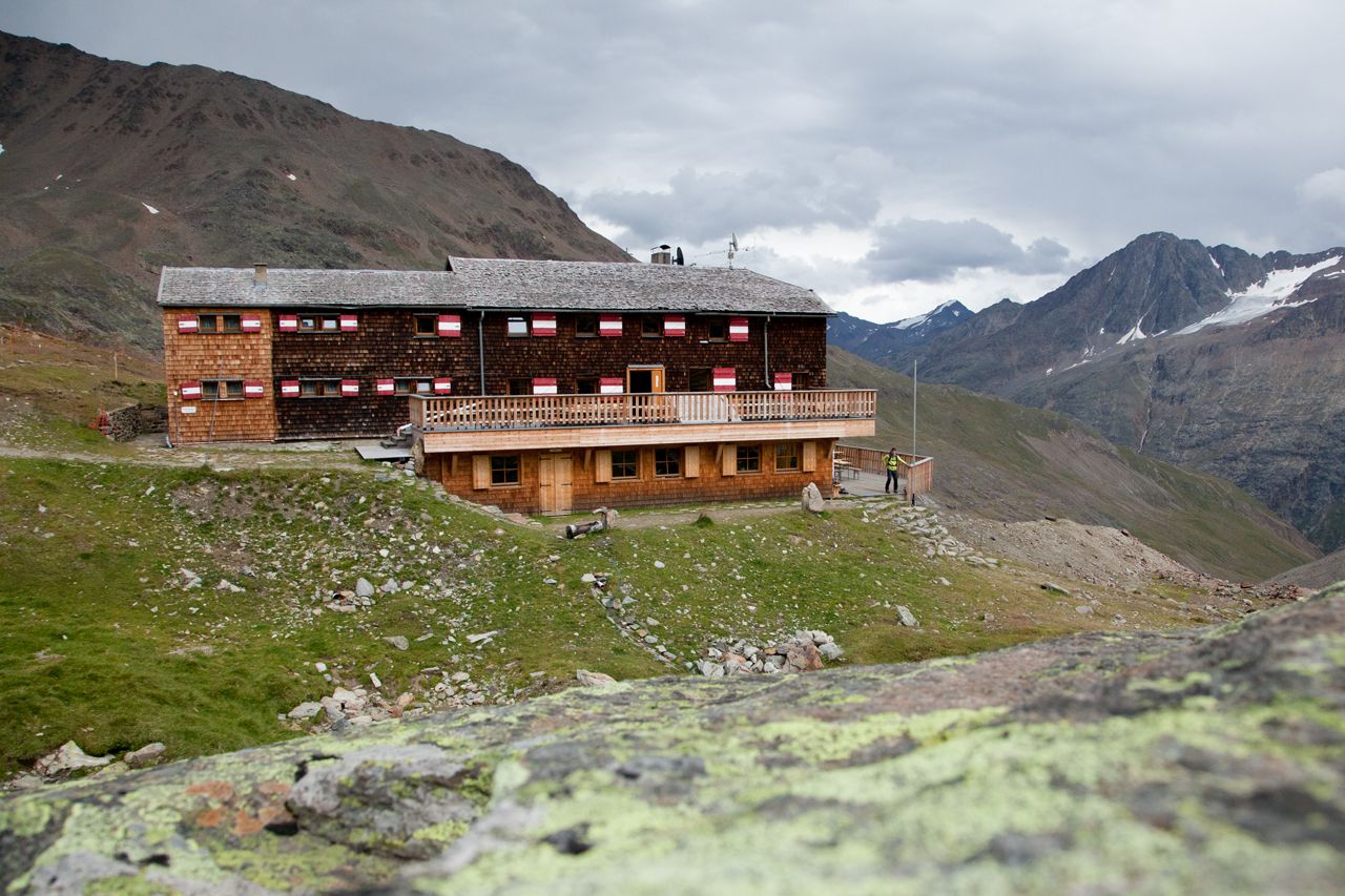
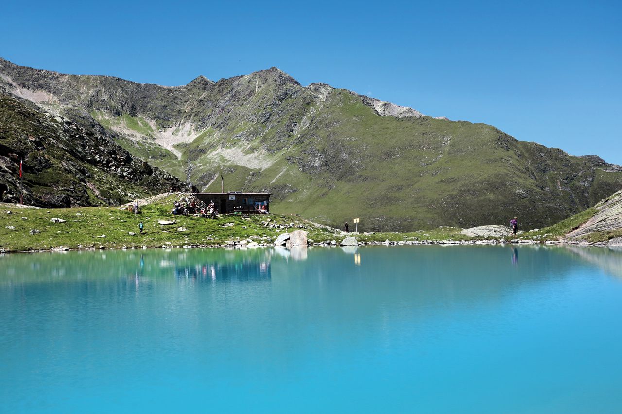
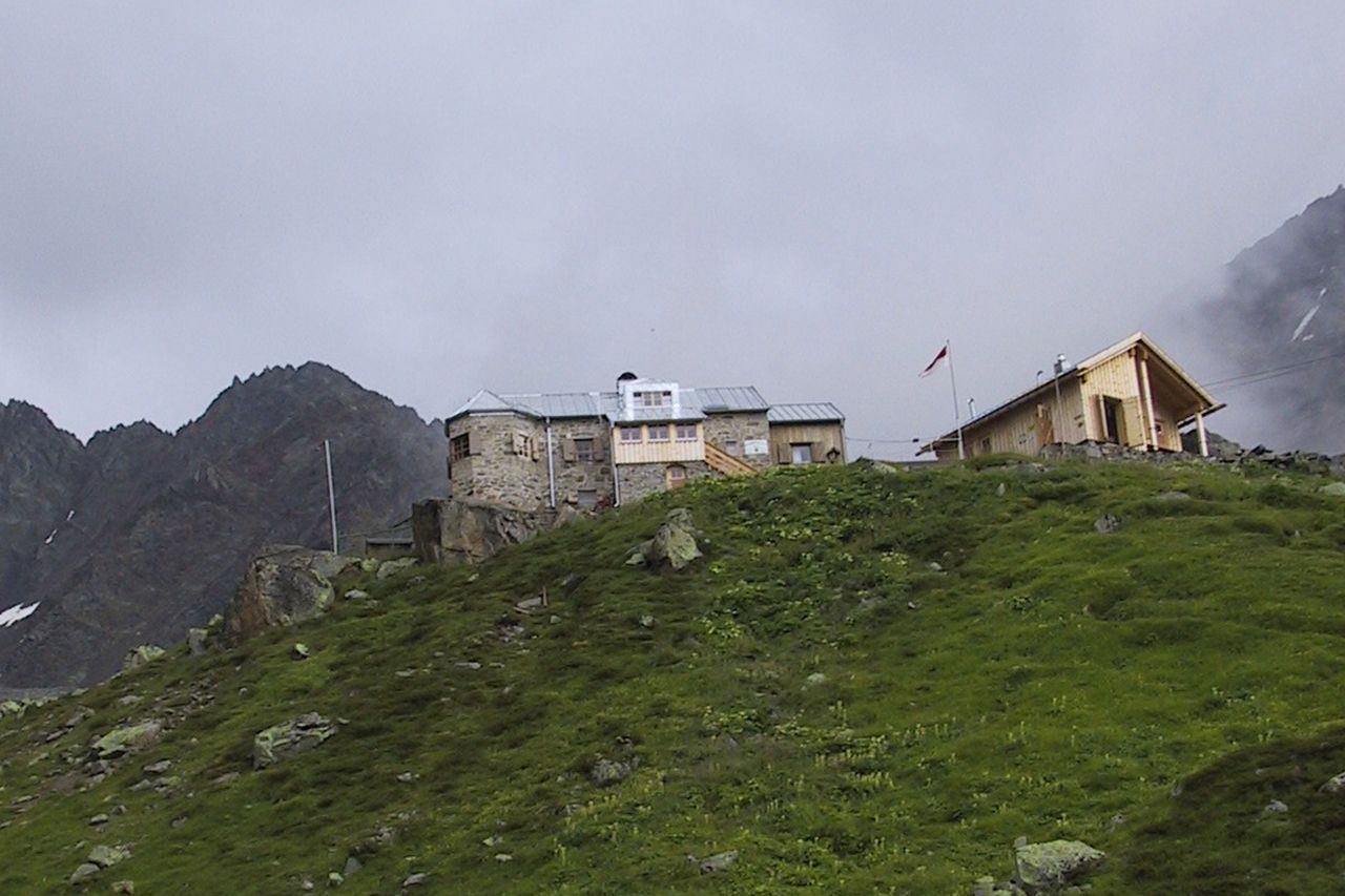
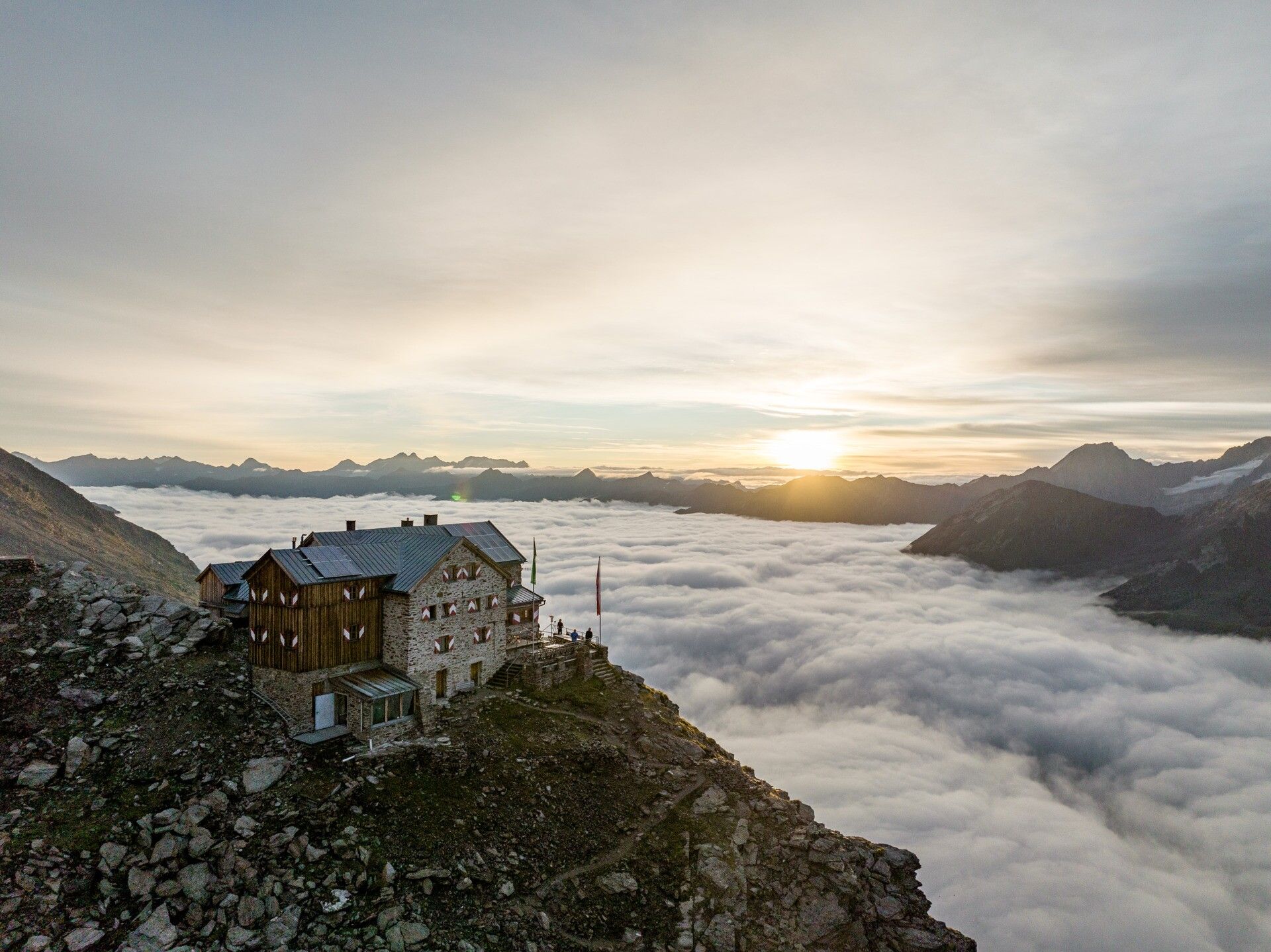
6 partial routes with 2 - 5 day stages each are ideal for an unforgettable vacation at the peak of Tyrol, in the Ötztal mountain world. Of course, mountain experience is necessary for these routes. Most stages are classified as “black mountain trails” (difficult) according to the “Tyrolean Hiking and Mountain Trail Concept”, and the other stages are classified as “red” (medium difficulty).
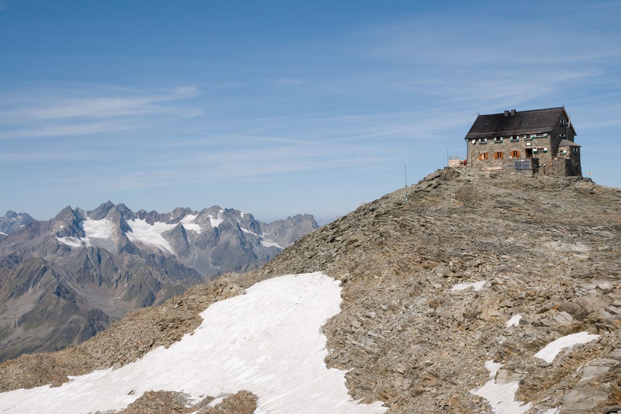
Some stages lead over eternal ice, where markings or signs are usually missing. Therefore, precise route planning in advance is essential, as well as checking the weather forecast. Wearing hiking equipment such as ankle-high hiking boots, wind, rain, and sun protection, cap, and gloves along with carrying a first aid kit is mandatory for every mountaineer.


Nearby huts and mountain restaurants

Getting here

  • Arrival by public transport

    Travel comfortably and safely by train to the Ötztal train station. The final stop or exit point is ÖTZTAL station. Afterwards, you can conveniently and quickly travel with public transport or local taxi companies through the entire valley to your desired destination.

    The current bus schedule is available at: http://fahrplan.vvt.at

  • Parking

    Parking lots are indicated at the respective stages. 

More tours in the surrounding area

Newsletter

The mountain is calling? So does our newsletter!

In our monthly newsletter we reveal the best holiday tips for Tyrol.