Long-distance hike Ötztal Trek Stage 5

Längenfeld / Stubai Alps
Difficulty ratings: difficult
Route length: 8.1 km
Duration: 3:30 h

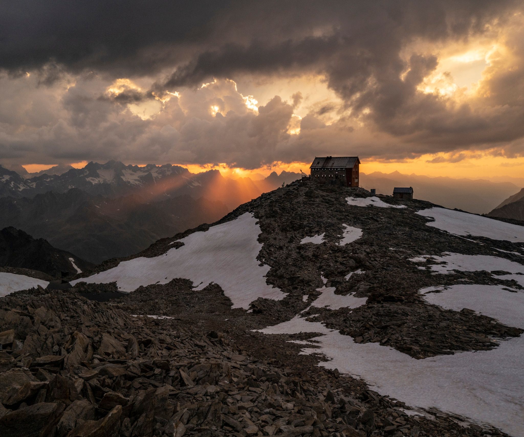
High alpine experience is also required for the fifth and final stage on Route 1 of the Ötztal Trek. If you bring this with you or book a mountain guide, you will experience the Ötztal in all its beauty and wildness - including magnificent views. We spend the night at the Hochstubaihütte, at an altitude of 3,174 meters. A Tyrolean interpretation of the upper class.

Tour character

Difficult, challenging stage on black mountain paths. Sure-footedness and high alpine experience for walking on glaciers as well as the correct roping technique are required. Orientation for pathless terrain required. A very good level of fitness is required.
Tour information

  • Requirement: difficult
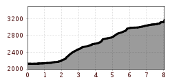
  • Length: 8.1 km
  • Duration: 3:30 h
  • Elevation uphill:1,105 hm
  • Elevation downhill:72 hm
Highest point3,169 m

Starting point

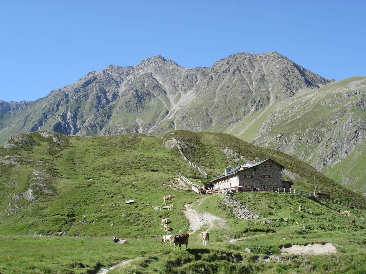
Amberger Hut

Finishing point

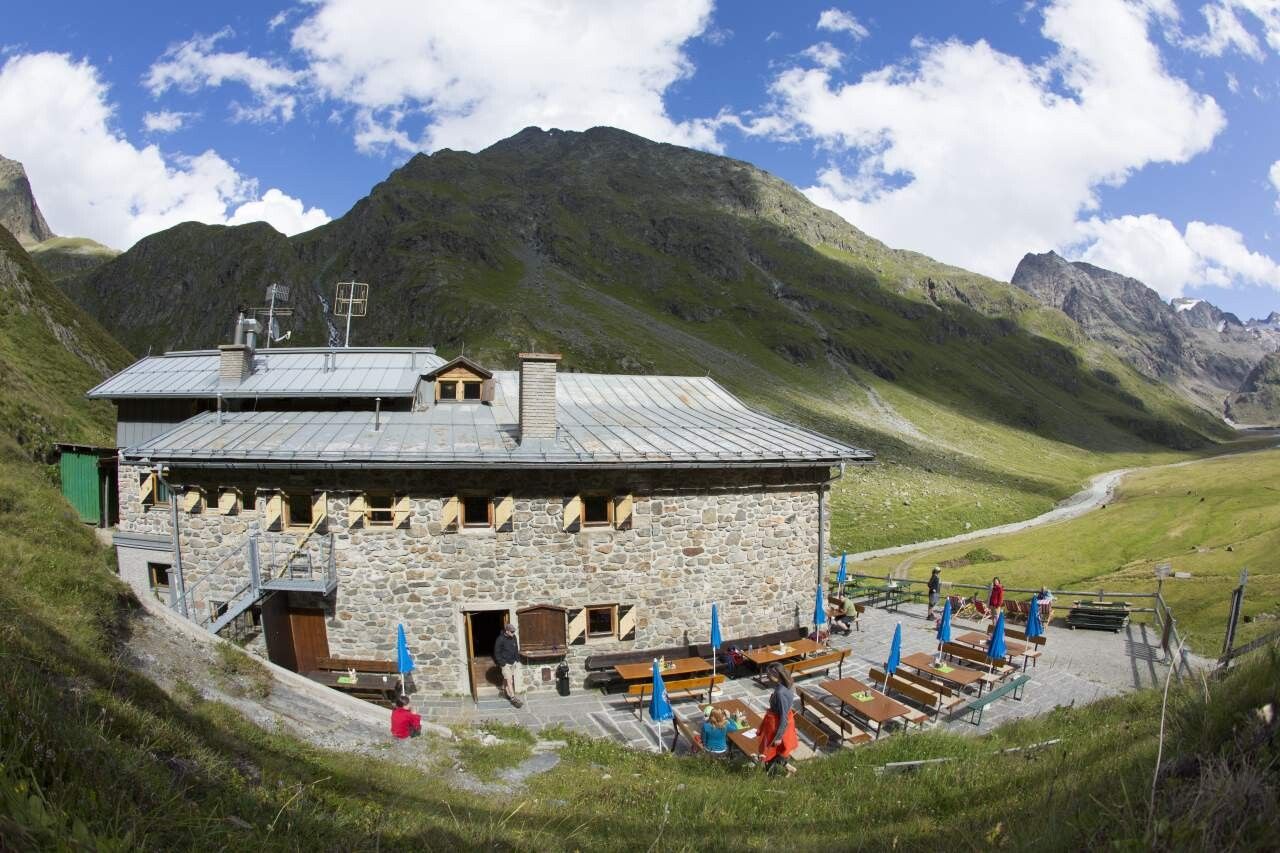
Hochstubai Hut
  • Fitness level 6 / 6

Best time of year

  • January
  • February
  • March
  • April
  • May
  • June
  • July
  • August
  • September
  • October
  • November
  • December

Equipment

For hikers free from vertigo, sure-footed, and highly alpine experienced climbers; excellent physical condition, comprehensive mountain experience, alpine climbing equipment, securing and orientation aids, good weather conditions recommended. Please observe the current weather report.

Appropriate equipment such as breathable and weather-appropriate outdoor clothing is required for all hikes and routes. Bringing a first aid kit, a mobile phone, and possibly a hiking map, as well as sufficient provisions for hikes without refreshment options, is necessary.

Ice axe, crampons, rope | Mountain guide recommended. 

Source: TVB Ötztal Tourismus

Description

  • Route: trail, path
  • Requirements: sure-footedness, freedom from vertigo, fitness, high alpine experience
  • Black mountain path, partly alpine route
  • Difficulties: passage at the Sulztalferner and the Wütenkarferner (each with crevasses); mountain guide recommended
  • Equipment: normal hiking gear, (depending on conditions) ice axe, crampons; in any case rope; roping up at the glacier
  • Accommodation, refreshment: Amberger Hut, Hochstubai Hut

Nearby huts and mountain restaurants

Getting here

  • Arrival by public transport

    Travel comfortably and safely by train to Ötztal station. The final stop or disembarkation point is ÖTZTAL station. Afterwards, you travel conveniently and quickly by public bus or local taxi companies through the entire valley to your desired destination.

    The current bus schedule is available at: fahrplan.vvt.at

  • Parking

    Car journey to the ÖTZTAL. Located in Tyrol, the Ötztal branches southwards as the longest side valley of the Eastern Alps. Traveling by car leads visitors over the Inn valley to the valley entrance and further along the Ötztal. Besides toll motorways, country roads can also be used. Use the route planner to quickly and conveniently determine your drive: To the route planner: www.google.at/maps


    The following parking options are available:

    Gries:

    - Parking lot at the village edge | paid | multi-day ticket possible

    Längenfeld:

    - Längenfeld Sports Center | free of charge 

    - Längenfeld Nature Park House | free of charge 

    For multi-day routes, place information and the return date visibly on the windshield. 

More tours in the surrounding area

  • Ötztal Trek Stage 17

    Difficulty:difficult
    Length:16.4 kmDuration:6:00 hElevation uphill:1,080 m
  • Ötztal Trek Stage 20

    Difficulty:medium
    Length:6.4 kmDuration:3:00 hElevation uphill:610 m
  • Ötztaler Urweg

    Difficulty:difficult
    Length:177.2 kmDuration:60:49 hElevation uphill:7,541 m
  • Ötztal Trek Stage 6

    Difficulty:difficult
    Length:7.6 kmDuration:3:30 hElevation uphill:640 m
  • Ötztal Trek Stage 4

    Difficulty:difficult
    Length:8.9 kmDuration:4:00 hElevation uphill:802 m
  • Ötztal Trek Stage 3

    Difficulty:difficult
    Length:10.4 kmDuration:4:00 hElevation uphill:842 m
  • Ötztal Trek Stage 22

    Difficulty:difficult
    Length:21.5 kmDuration:8:00 hElevation uphill:647 m
  • Ötztal Trek Stage 10

    Difficulty:difficult
    Length:11.1 kmDuration:4:30 hElevation uphill:1,476 m
  • Ötztal Trek Stage 7

    Difficulty:difficult
    Length:5.3 kmDuration:2:00 hElevation uphill:376 m
  • Ötztal Trek Stage 8

    Difficulty:difficult
    Length:9.3 kmDuration:3:30 hElevation uphill:274 m
  • Ötztal Trek

    Length:246.4 kmDuration:84:25 hElevation uphill:18,910 m
  • Ötztal Trek Stage 1

    Difficulty:medium
    Length:18.6 kmDuration:6:30 hElevation uphill:1,561 m
  • Ötztal Trek Stage 14

    Difficulty:difficult
    Length:6.3 kmDuration:3:00 hElevation uphill:1,004 m
  • Ötztal Trek Stage 16

    Difficulty:difficult
    Length:6.9 kmDuration:2:30 hElevation uphill:358 m
  • Ötztal Trek Stage 12

    Difficulty:difficult
    Length:4.8 kmDuration:2:00 hElevation uphill:592 m
  • Ötztal Trek Stage 11

    Difficulty:difficult
    Length:12.0 kmDuration:5:00 hElevation uphill:705 m
  • Ramolhaus - Obergurgl

    Difficulty:difficult
    Length:7.8 kmDuration:4:00 hElevation uphill:1,095 m
  • Wilder Mann

    Difficulty:medium
    Length:7.0 kmDuration:2:30 hElevation uphill:665 m
  • Ötztal Trek Stage 21

    Difficulty:difficult
    Length:9.4 kmDuration:4:30 hElevation uphill:1,270 m
Newsletter

The mountain is calling? So does our newsletter!

In our monthly newsletter we reveal the best holiday tips for Tyrol.