
Opening hours:Open today
Place:Längenfeld
:Alpine pasture / hut / mountain restaurant
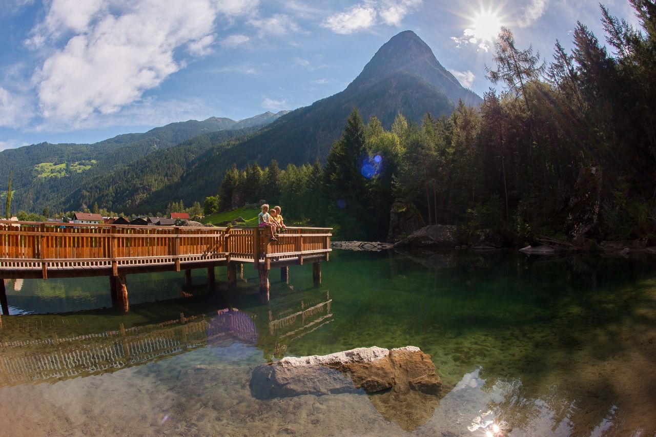
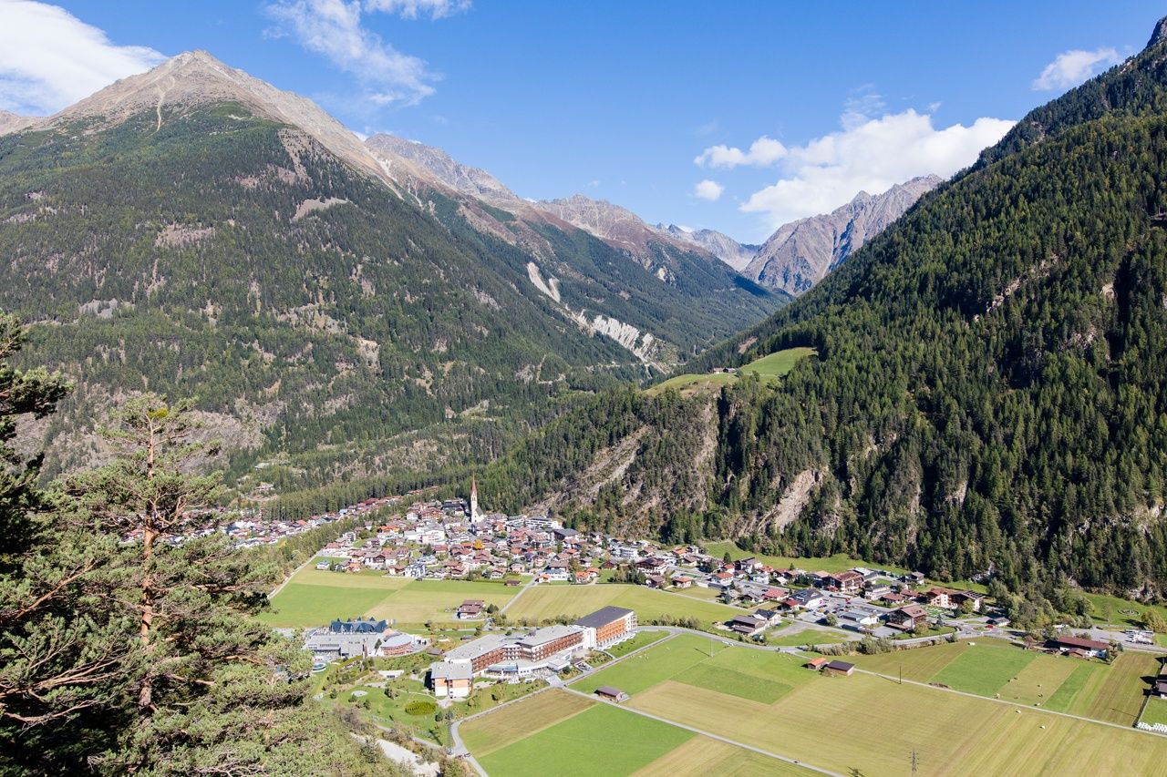
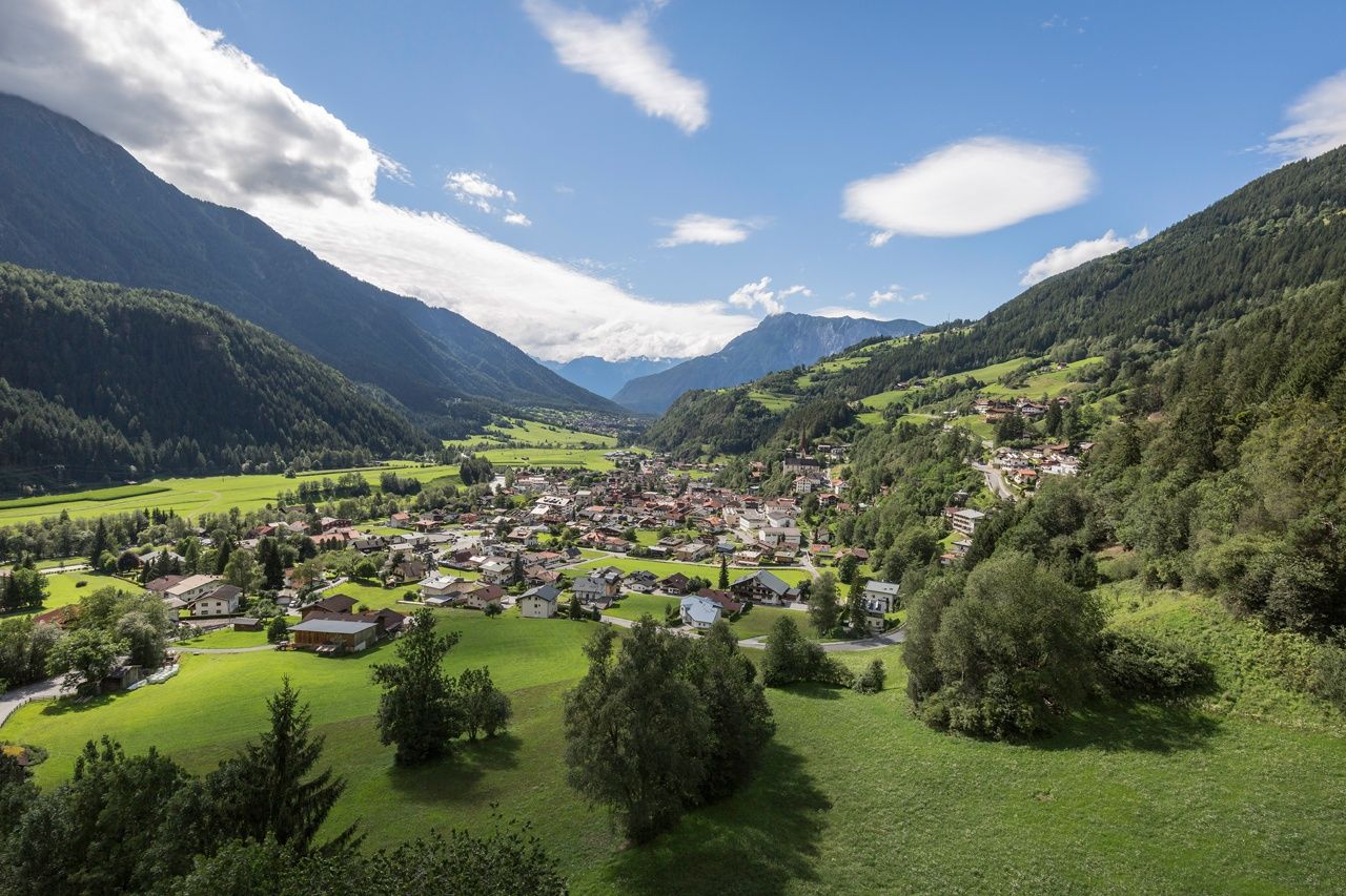
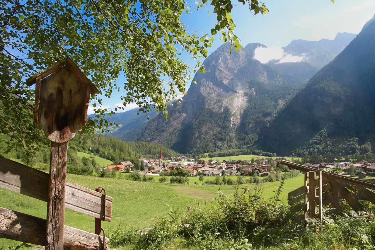
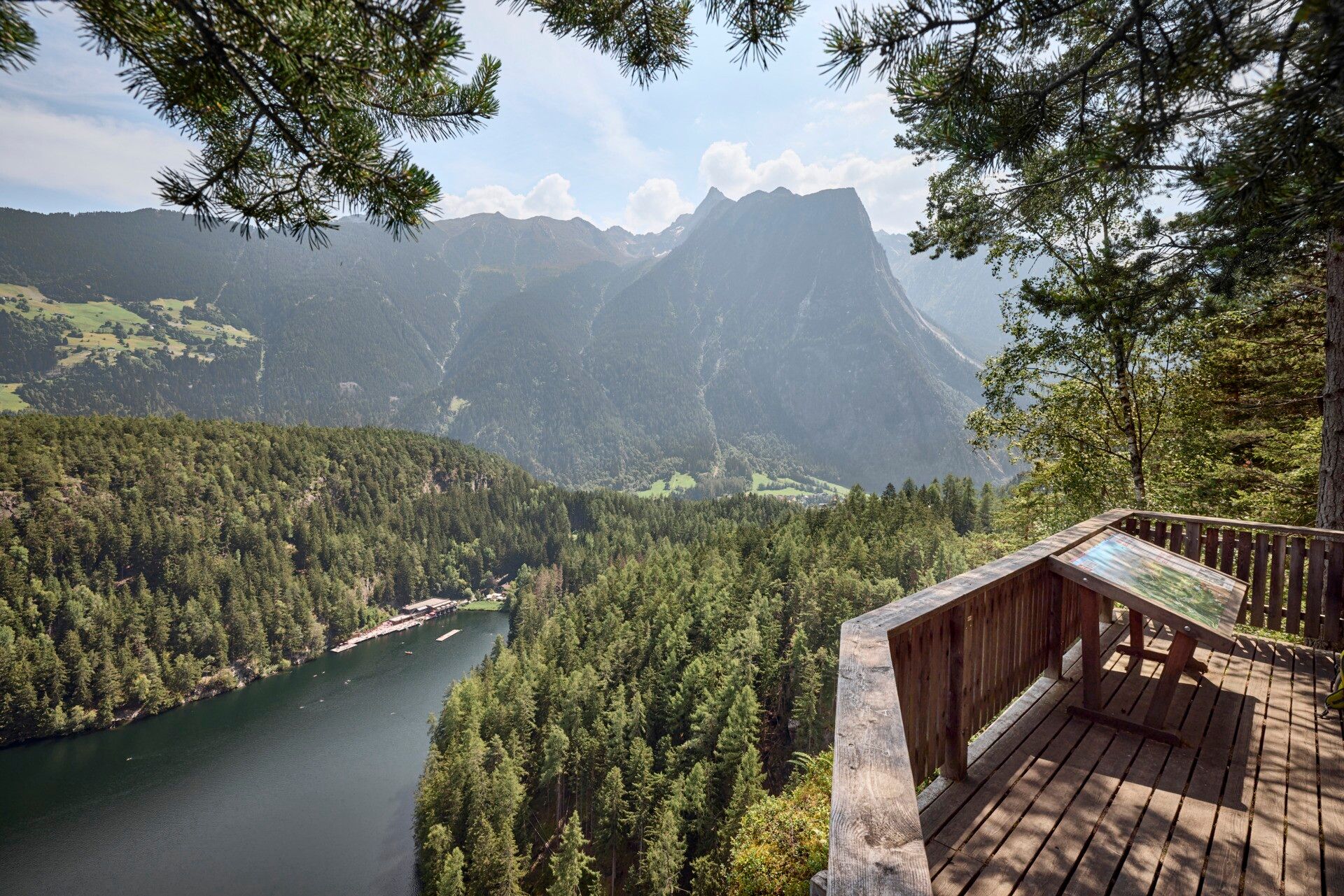
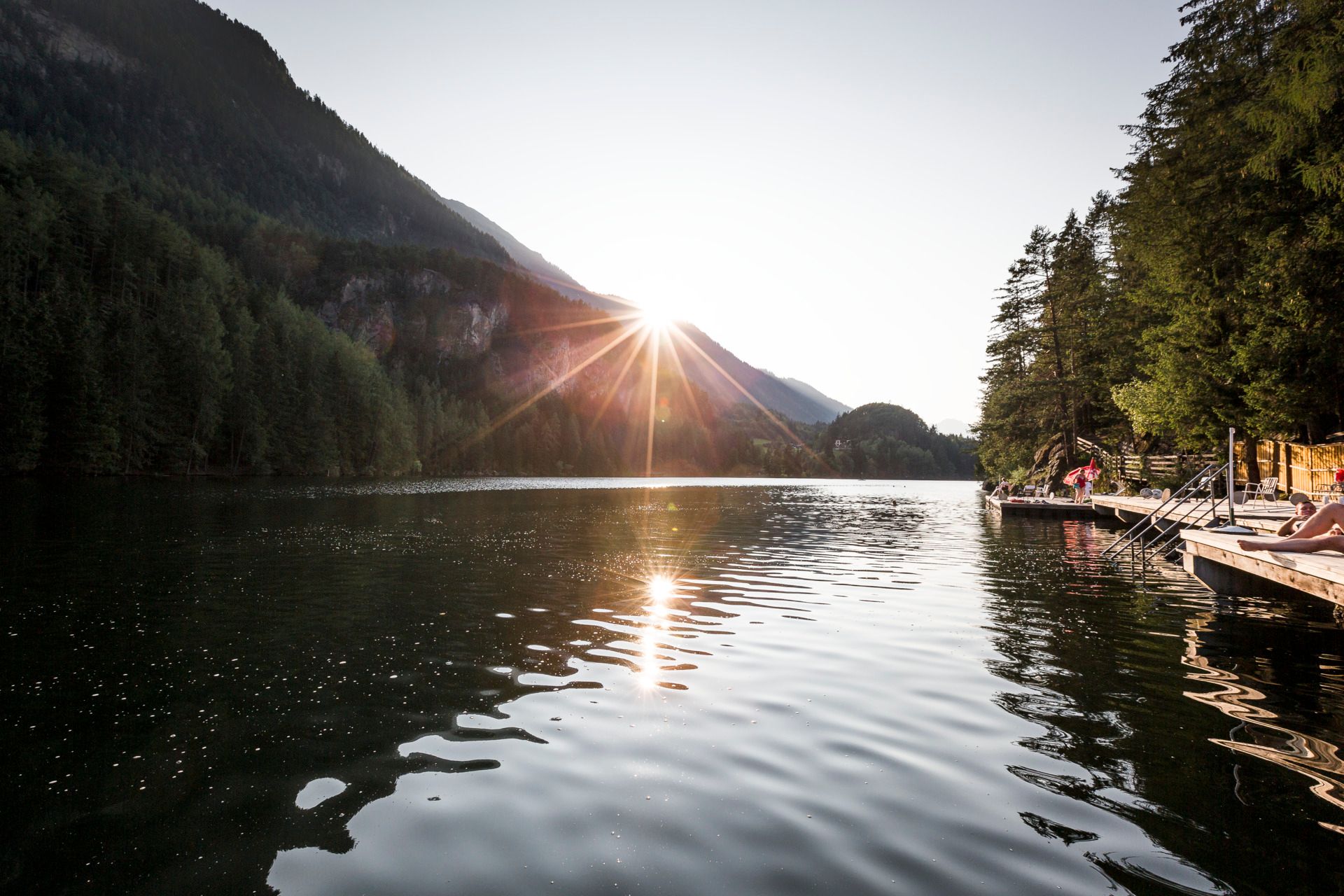
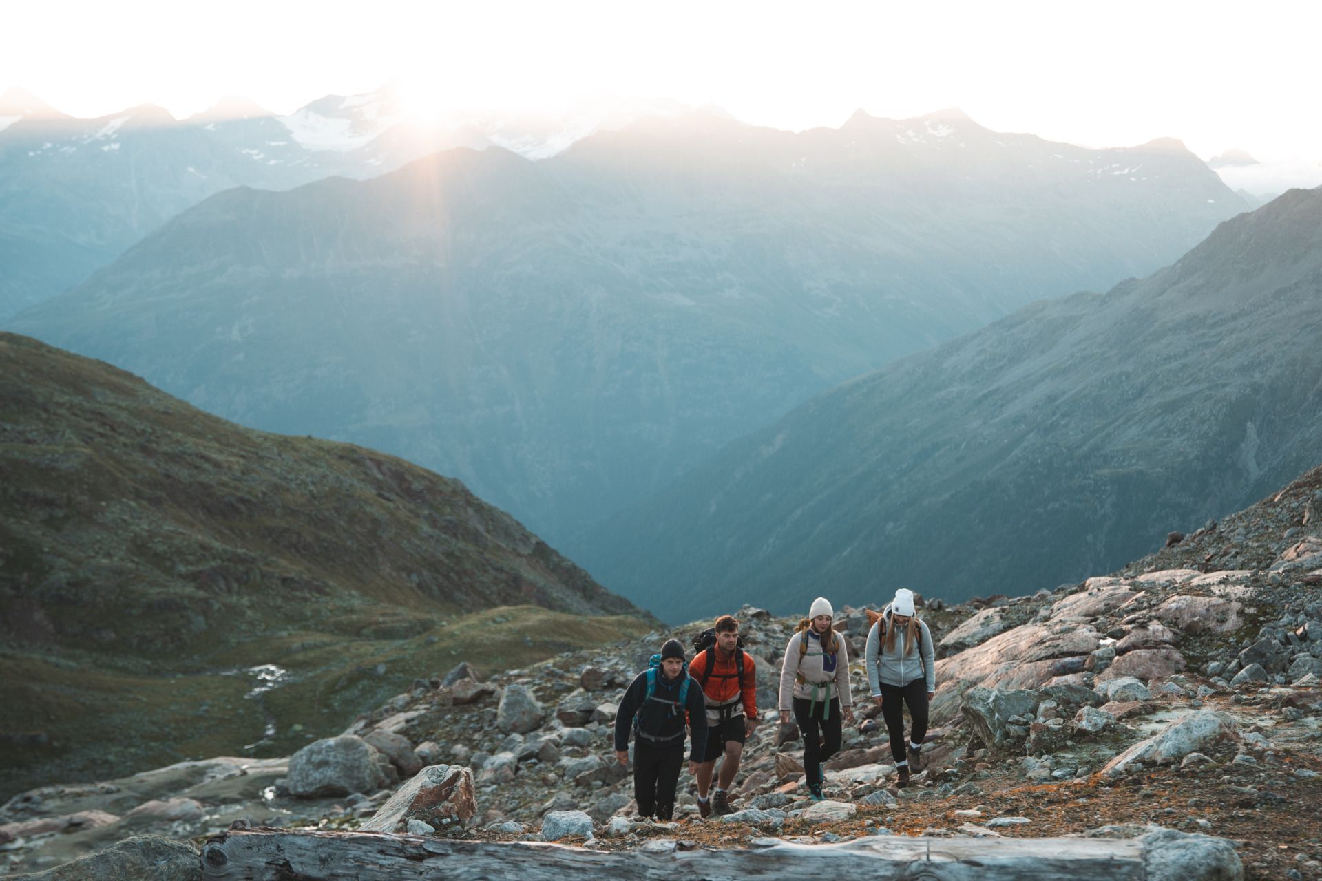
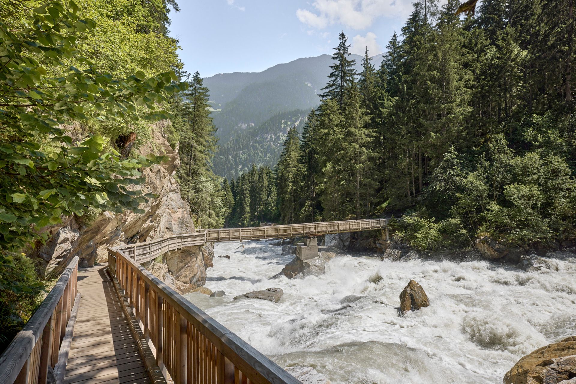
This long-distance hiking trail leads through the Ötztal valley in a very beautiful way. If you skip selected stages, you can hike most of the Ötztaler Urweg without massive differences in altitude. The Ötztaler Ache river always takes center stage with its different faces, which is how varied the landscape in Ötztal is.
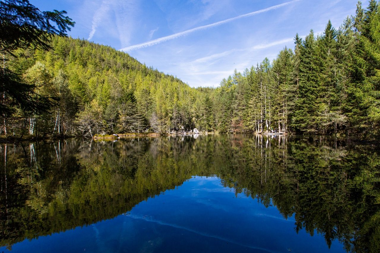
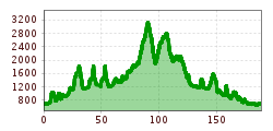
Medium-difficulty long-distance hike over 12 stages through the wild Ötztal. Each stage can be hiked individually and can therefore be easily skipped. Moderately difficult mountain trails, only stage 6 is marked with difficult mountain trails. Wonderful scenic variety, even on the lower-lying stages.

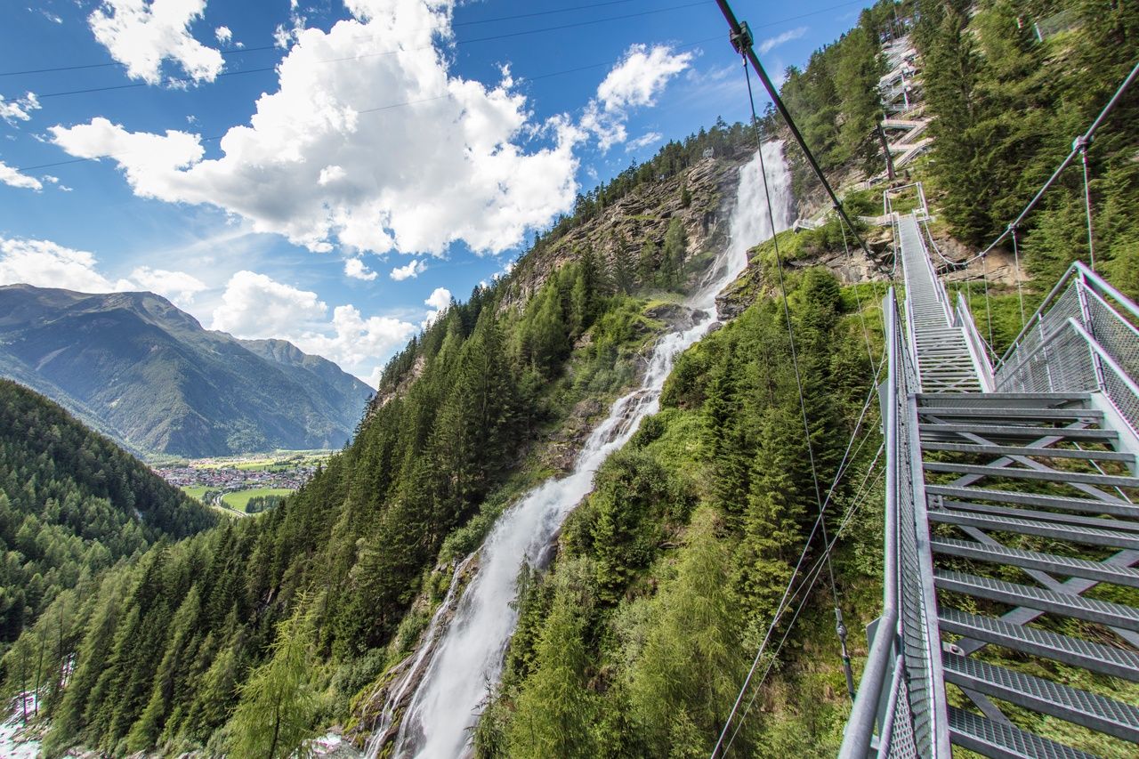

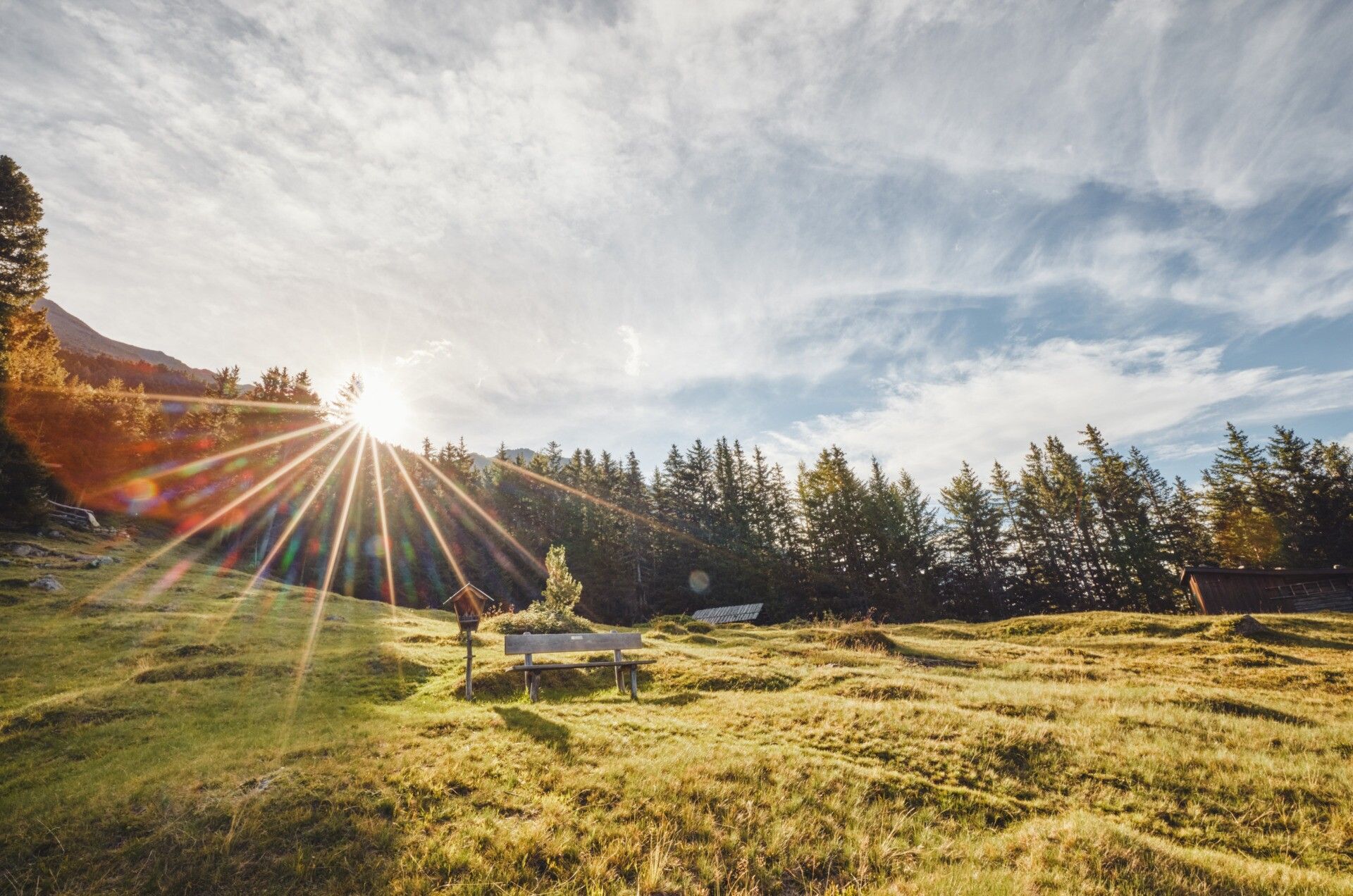
Everything from easy hiking trails to alpine routes is available. More information at the individual stages.
Appropriate equipment such as breathable and weather-appropriate outdoor clothing is required for all hikes and routes. Carrying a first aid kit, a mobile phone, and possibly a hiking map, as well as sufficient provisions for hikes without opportunities to stop for refreshments, is necessary.
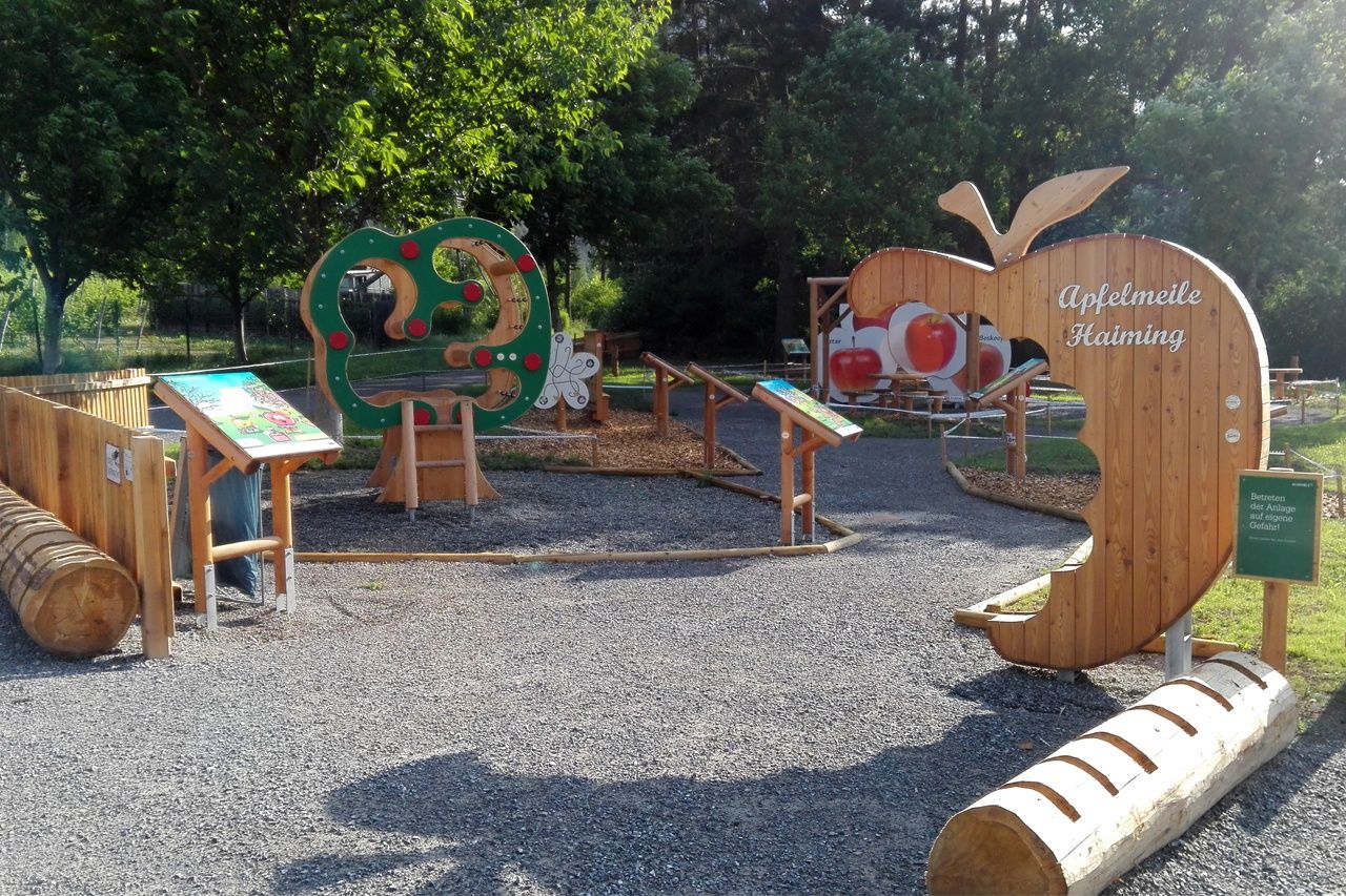
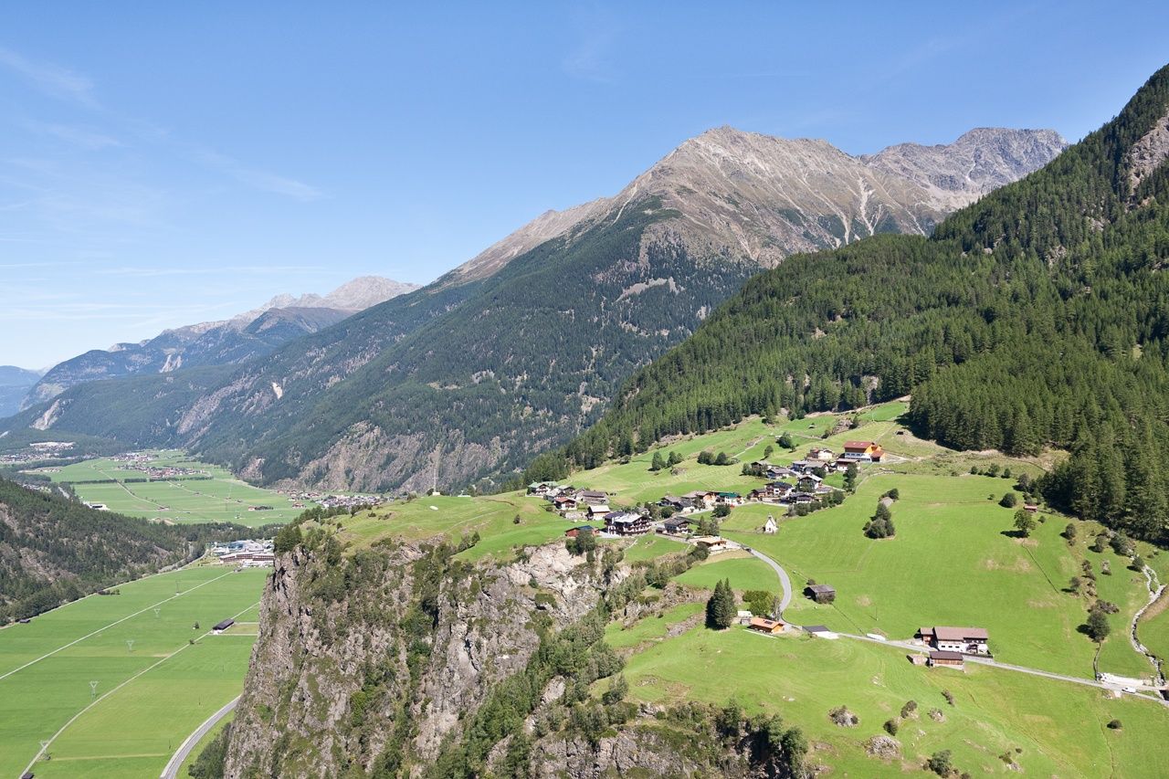
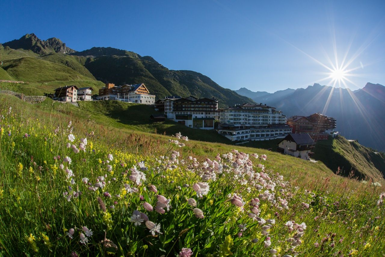
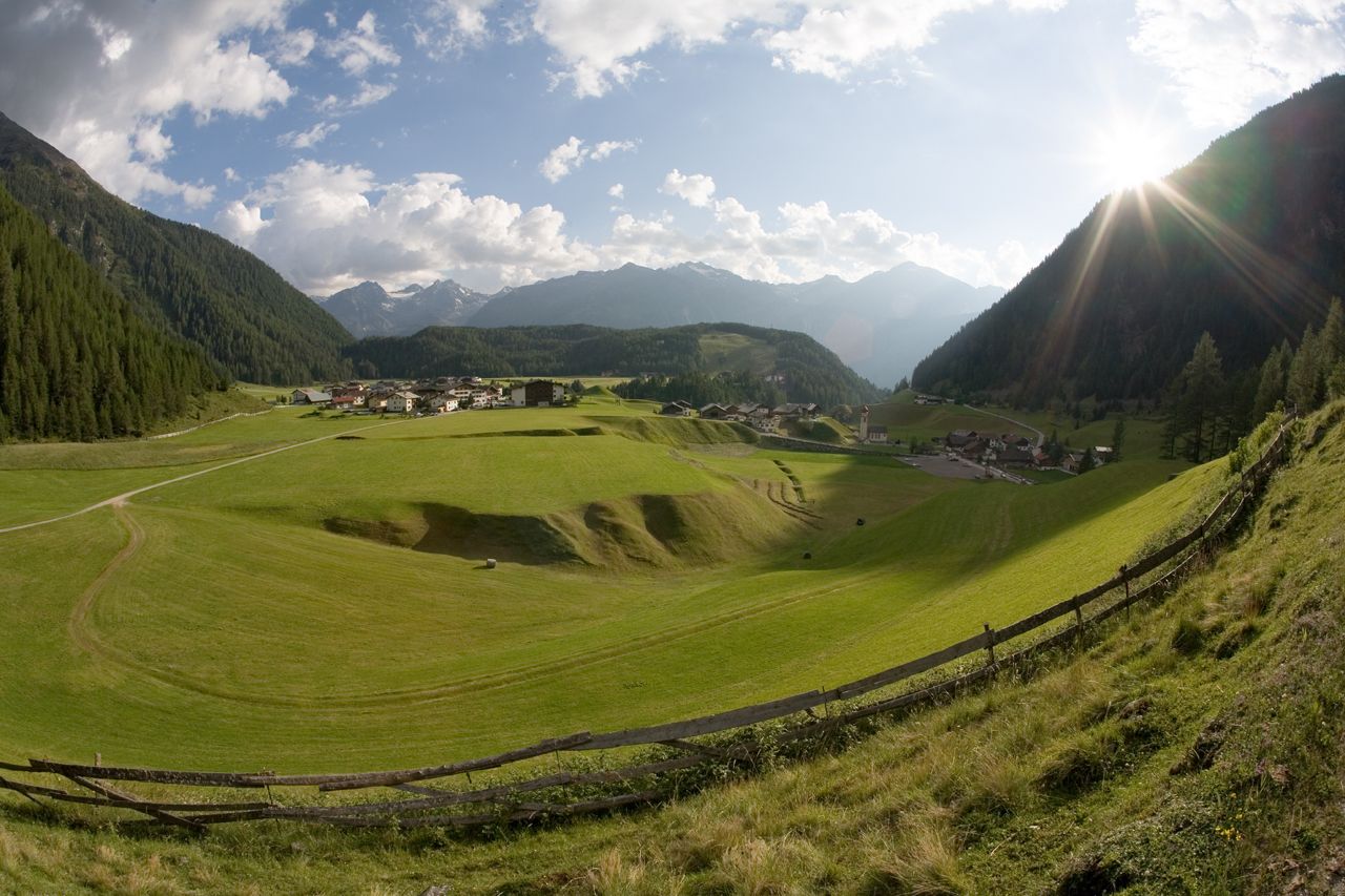
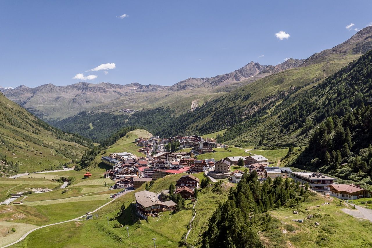
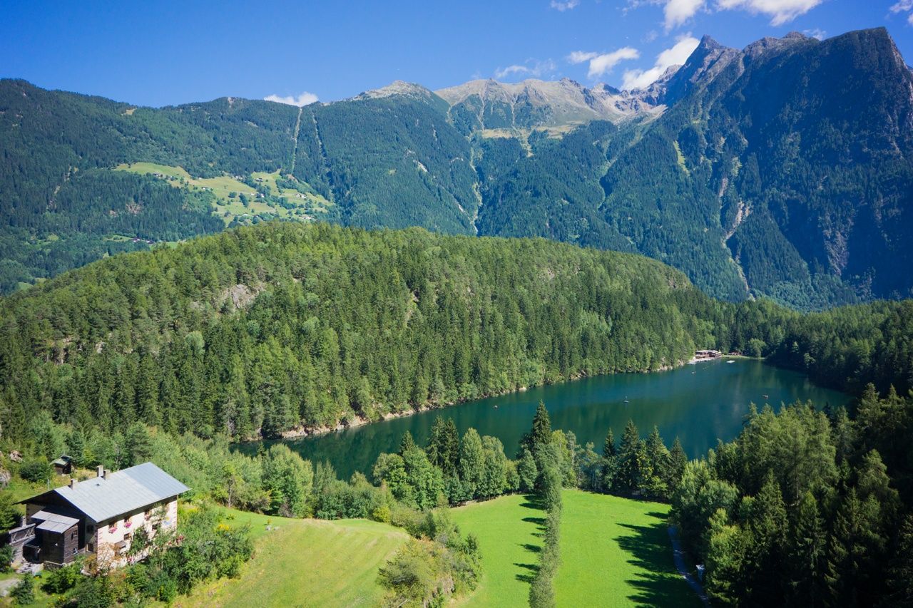
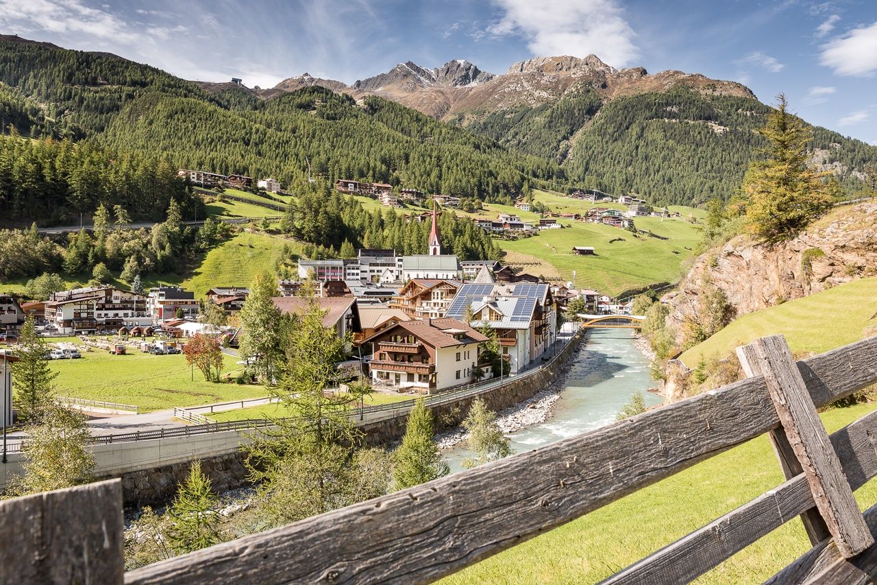
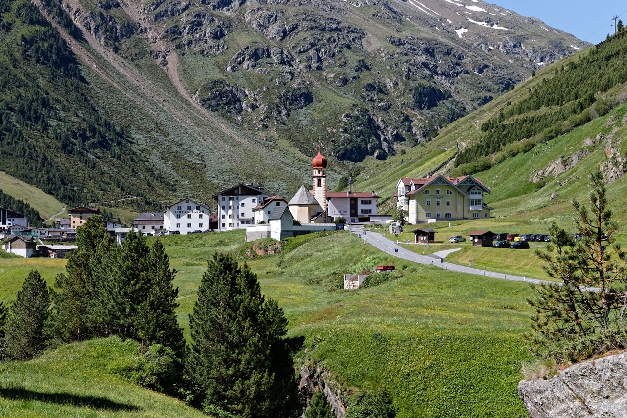
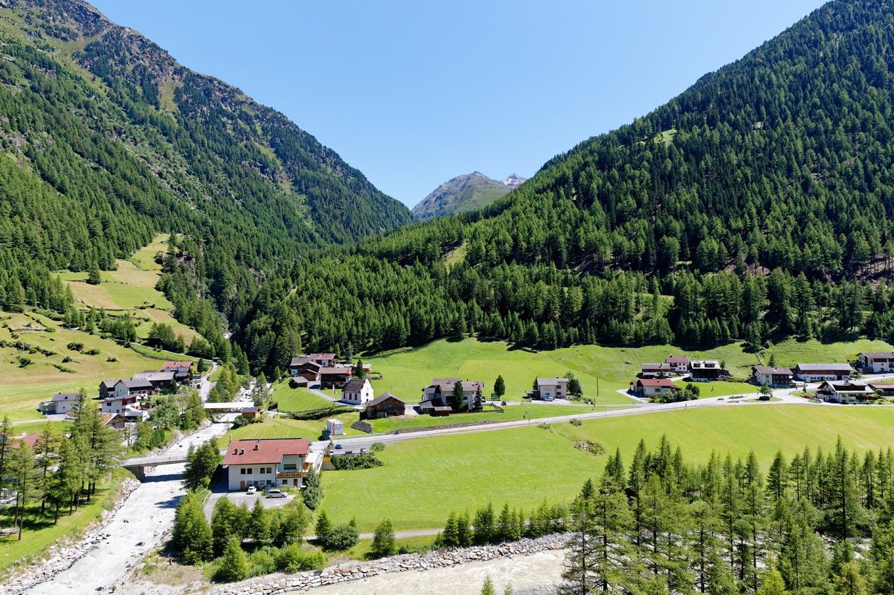
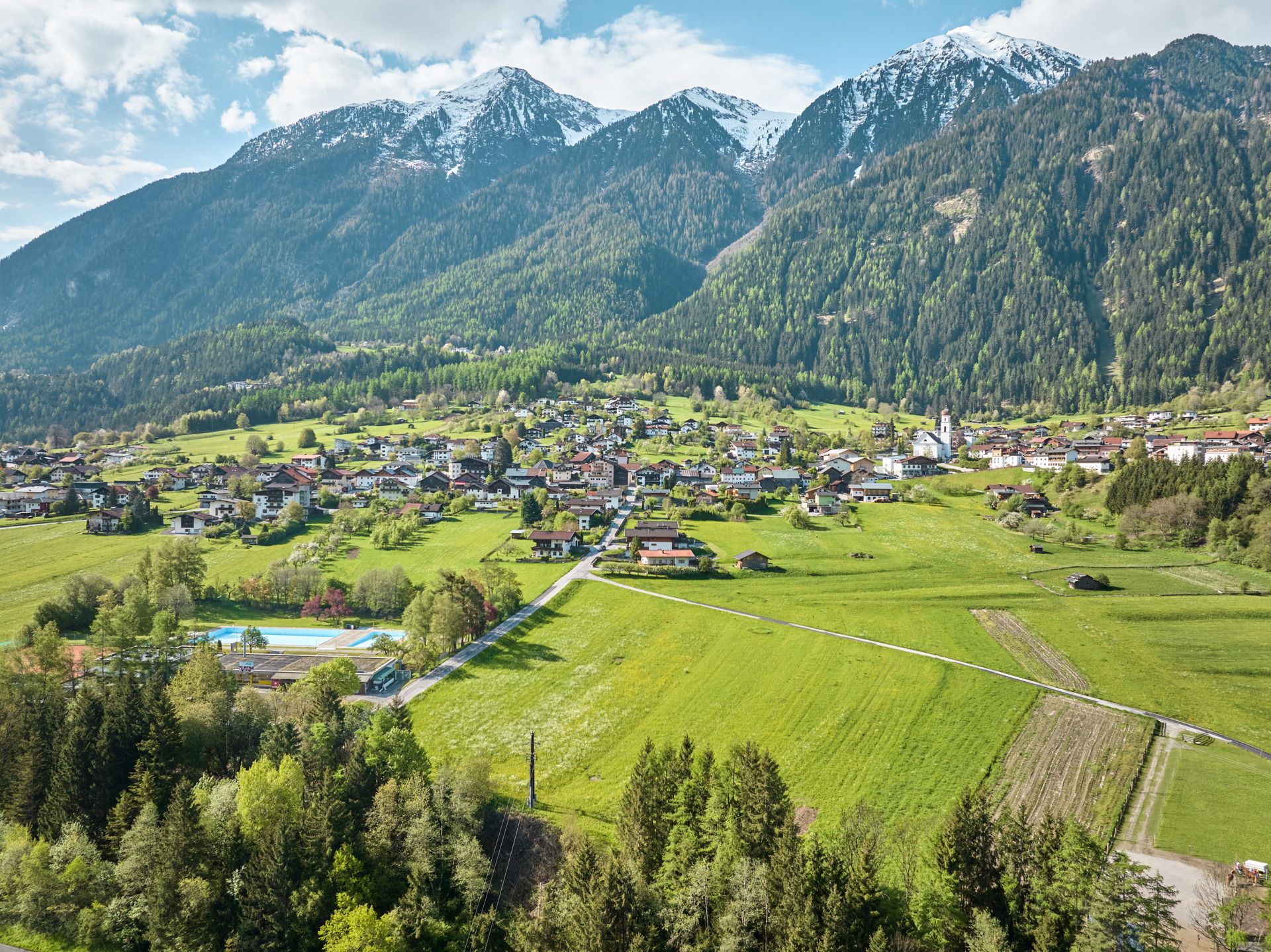
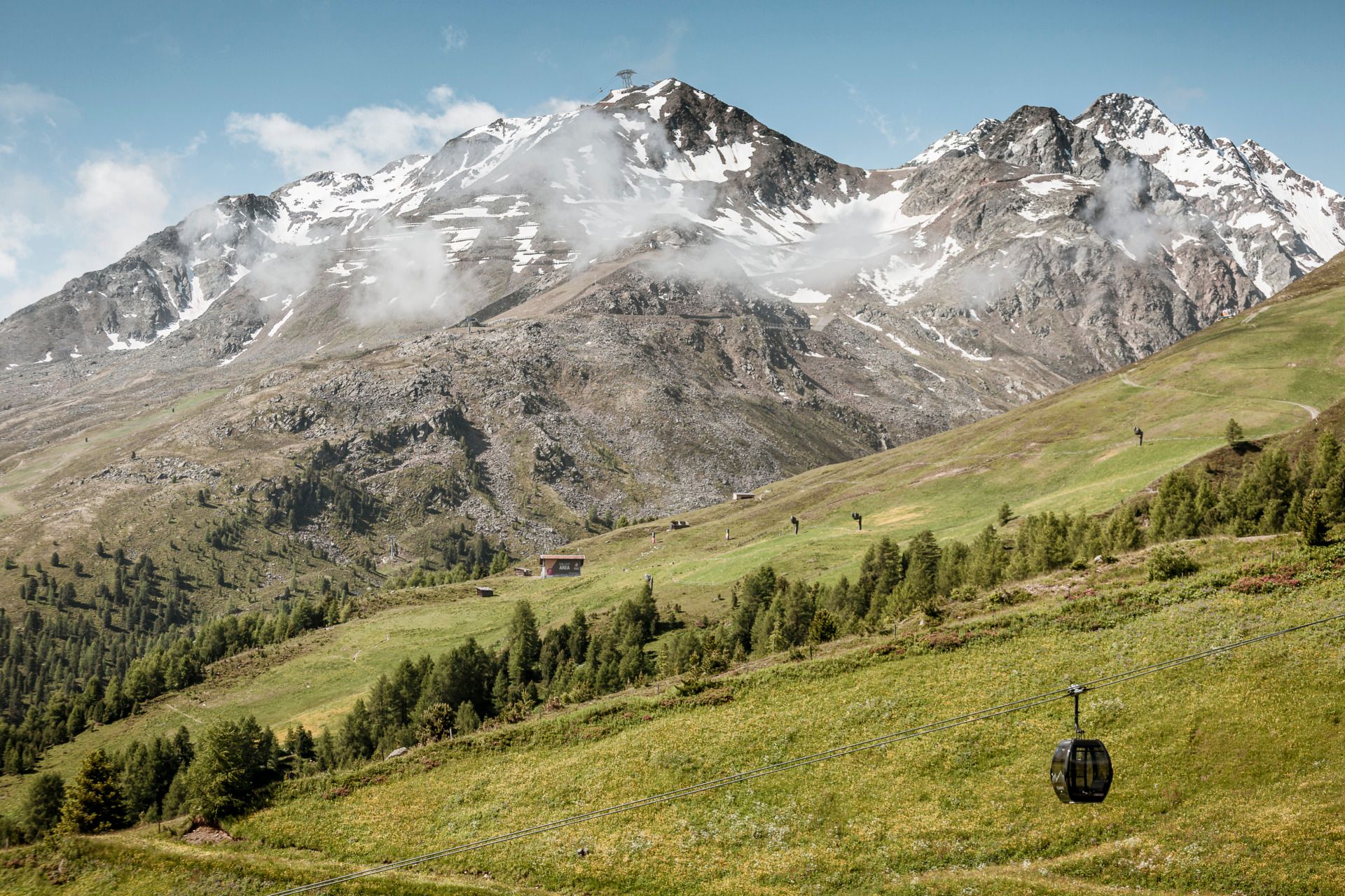
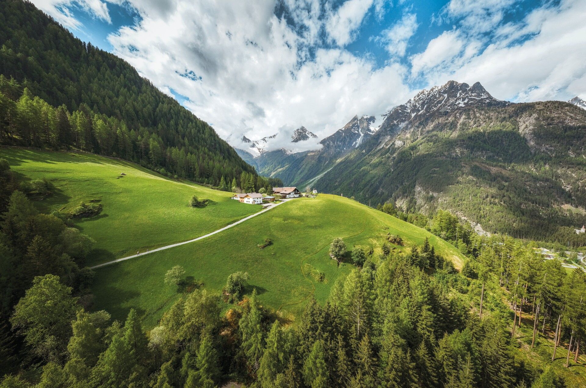
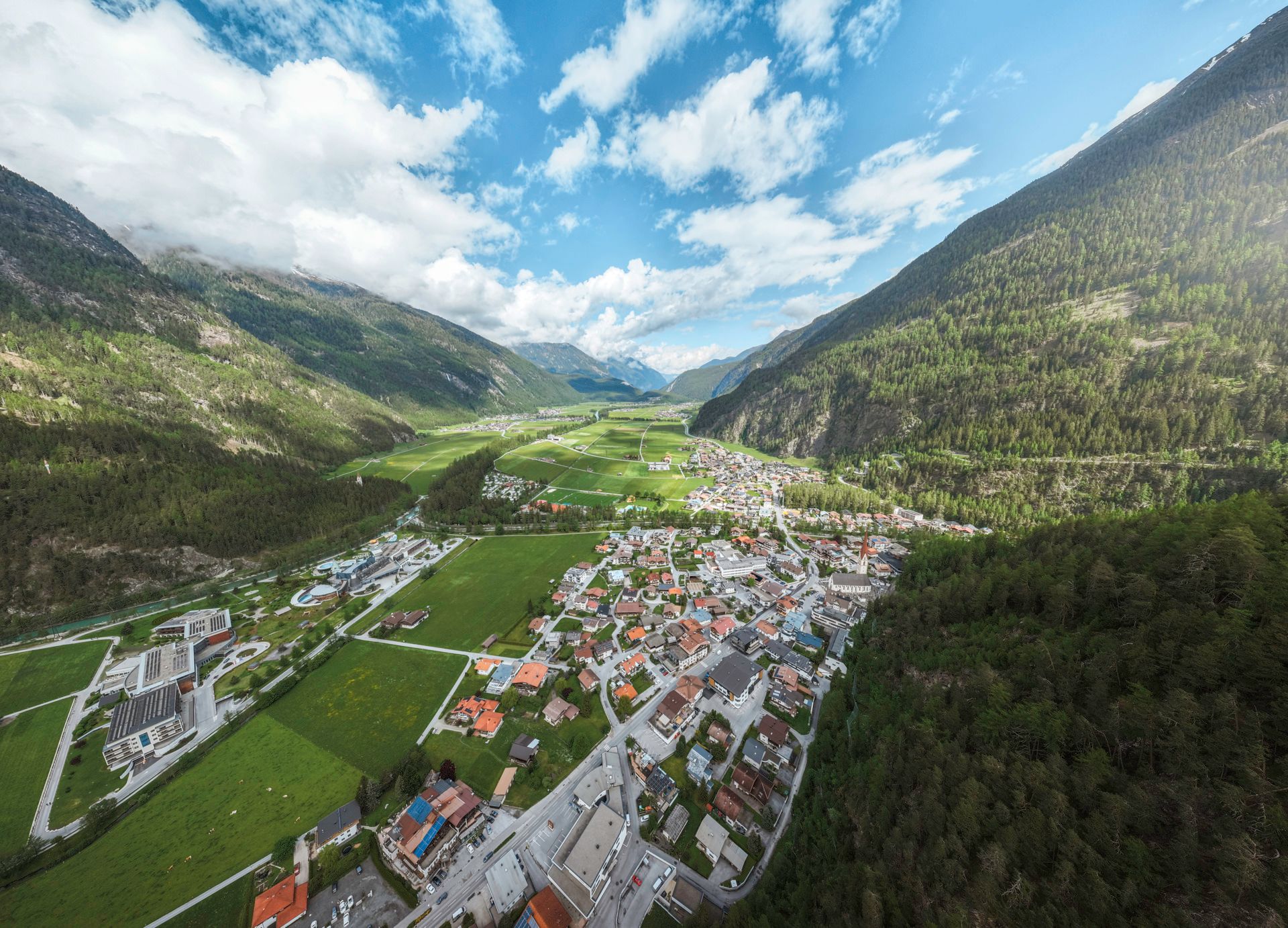
The path leads in 12 stages repeatedly from the valley over rivers and meadows up to scenic highlands. Like a ribbon, it winds back and forth between the villages on the valley floor and the wild romantic mountain villages on the sunny side. From the lower valley start, adorned with sunny yellow meadow flowers, up to Austria’s highest church village at 1,930 m, the path leads into the valley. Deep in the valley, so close to the glaciers, the trail brings you face to face with many mountain giants over 3,000 m, like the Wildspitze or the Similaun, the true stars of the Ötztal. On the return route, you descend again to climatically more favorable locations and fertile soil, where fruit cultivation is practiced. The hiking trail can be started from any village, with sufficient parking spaces available. A good bus network is available for any return transport!
Travel comfortably and safely by train to the Ötztal station. The final stop or exit point is the ÖTZTAL train station. Afterwards, you can conveniently and quickly travel with public transit or local taxi companies through the entire valley to your desired destination.
The current bus schedule is available at: fahrplan.vvt.at
Parking spaces are indicated at the respective stage.


.jpg")


.jpg")


.jpg")
.jpg")


")

.jpg")
