
Place:
Steeg
:
Alpine pasture / hut / mountain restaurant
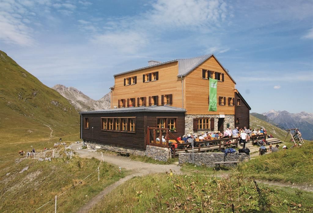
The Stuttgarter Hütte is located in Tyrol just on the border with Vorarlberg in Austria.

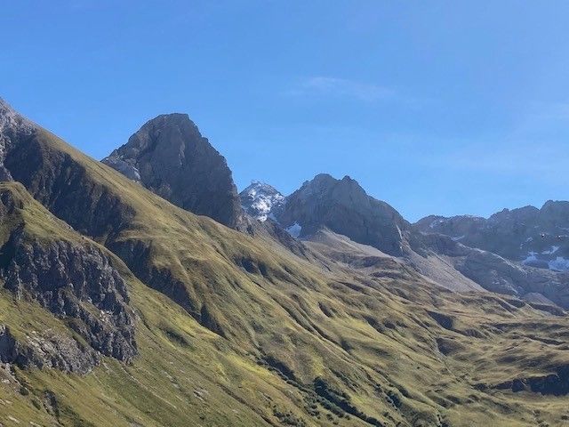
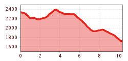
From the Rüfiplatz hiking starting point, take the Rüfikopfbahn cable car up to the Rüfikopf (2,350 m). From here, take the wide alpine path downhill to the signpost, where you take the hiking trail to the left up to a ridge.
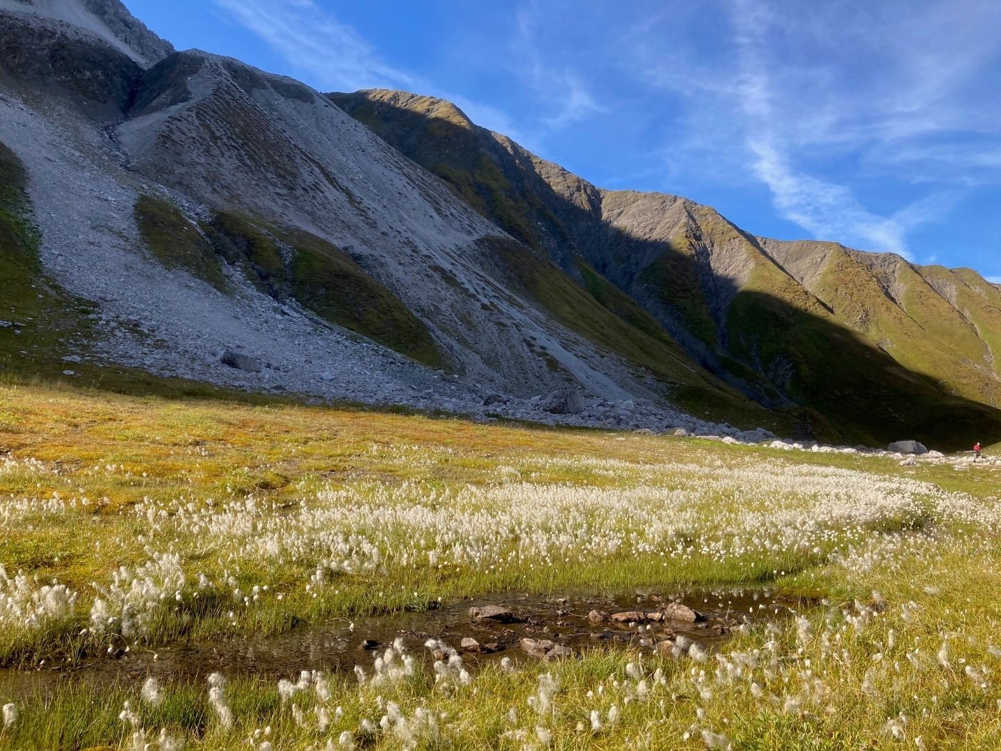
From there, descend relatively steeply in serpentines to a saddle and follow the path further downhill to the valley floor of the Ochsengümple. Follow the path to the right without any significant difference in altitude until the end of the valley, only from here do you walk uphill, first moderately and then more steeply, until you reach a fork.
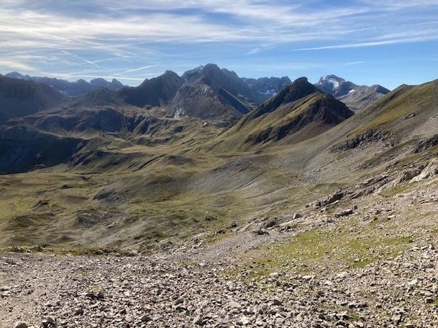
From here, hike to the right up to the Rauhkopfscharte,
now walk gently downhill to the Stuttgarter Hütte. After your refreshment stop, follow the path moderately steeply downhill until you reach a torrent. Here the trail descends quite steeply to the valley floor of the Pazüeltal.
From now on, the trail descends slightly to the Trittalpe, continuing leisurely downhill on a goods road until you reach a paved side road in Zürs. Follow the road further downhill, past the mountain church until you reach the main road. From there, the hiking bus will take you back to the starting point.
Hiking bus line 110 stop Lech-Rüfikopfbahn


")


.jpg")


 Sportalpen (21).jpg")


