
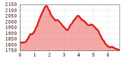
Difficulty:easy
Length:2.0 kmDuration:0:45 hElevation uphill:70 m
Mot Grond
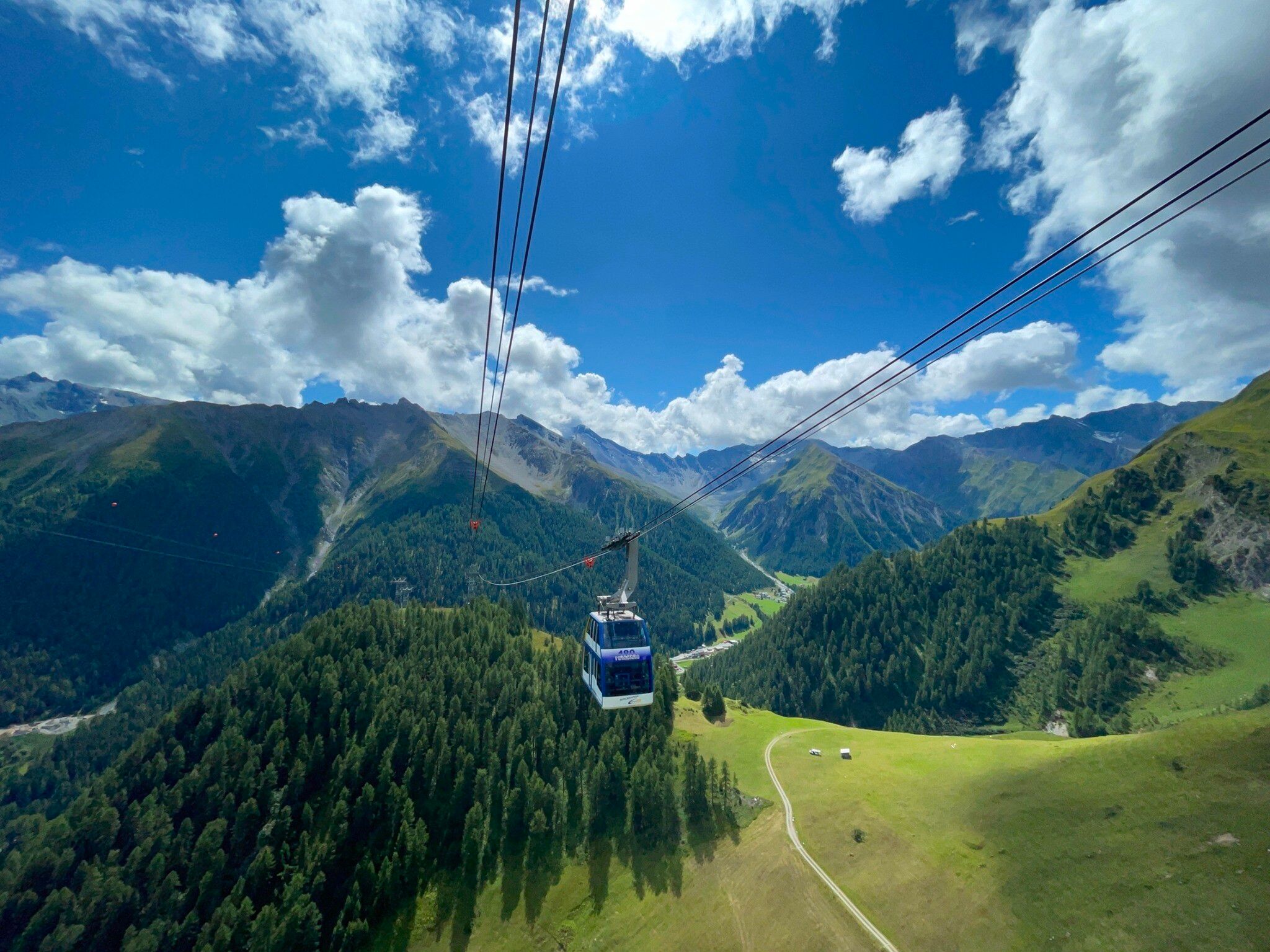
At the entrance to the village, cross the bridge over the Maisasbach stream towards Musella and after a few metres cross the Schergenbach stream. The steep zig-zag path leads up to Mot Grond. From here we enjoy the view over the entire Samnaun valley. The trail descends gently through the larch forest and across meadows to Ravaischa. At point 1919, follow the path towards Chè d'Mot and take a detour to this hill with its four striking cable car masts, again enjoying the view of the entire Samnaun valley. A dirt track leads via Tschidanaderet to Salatsch and from there the upper valley hiking trail continues to Samnaun-Laret.
.jpg")
.jpg")
.jpg")


.jpg")
.jpg")
.jpg")


